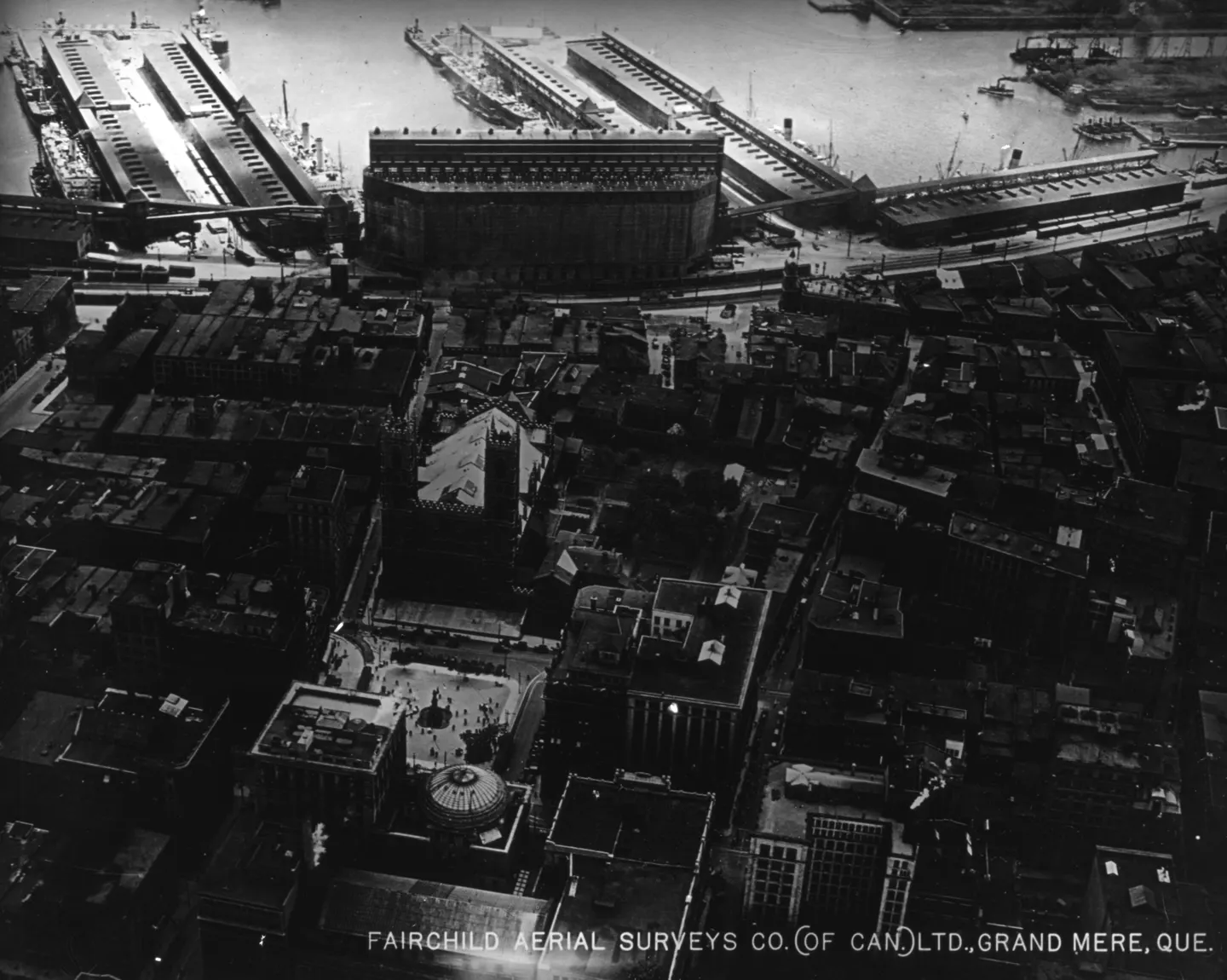
Curved building and piers, Place d'Armes, aerial view, 1925 · 1925 · VM97,S3,D01,P054
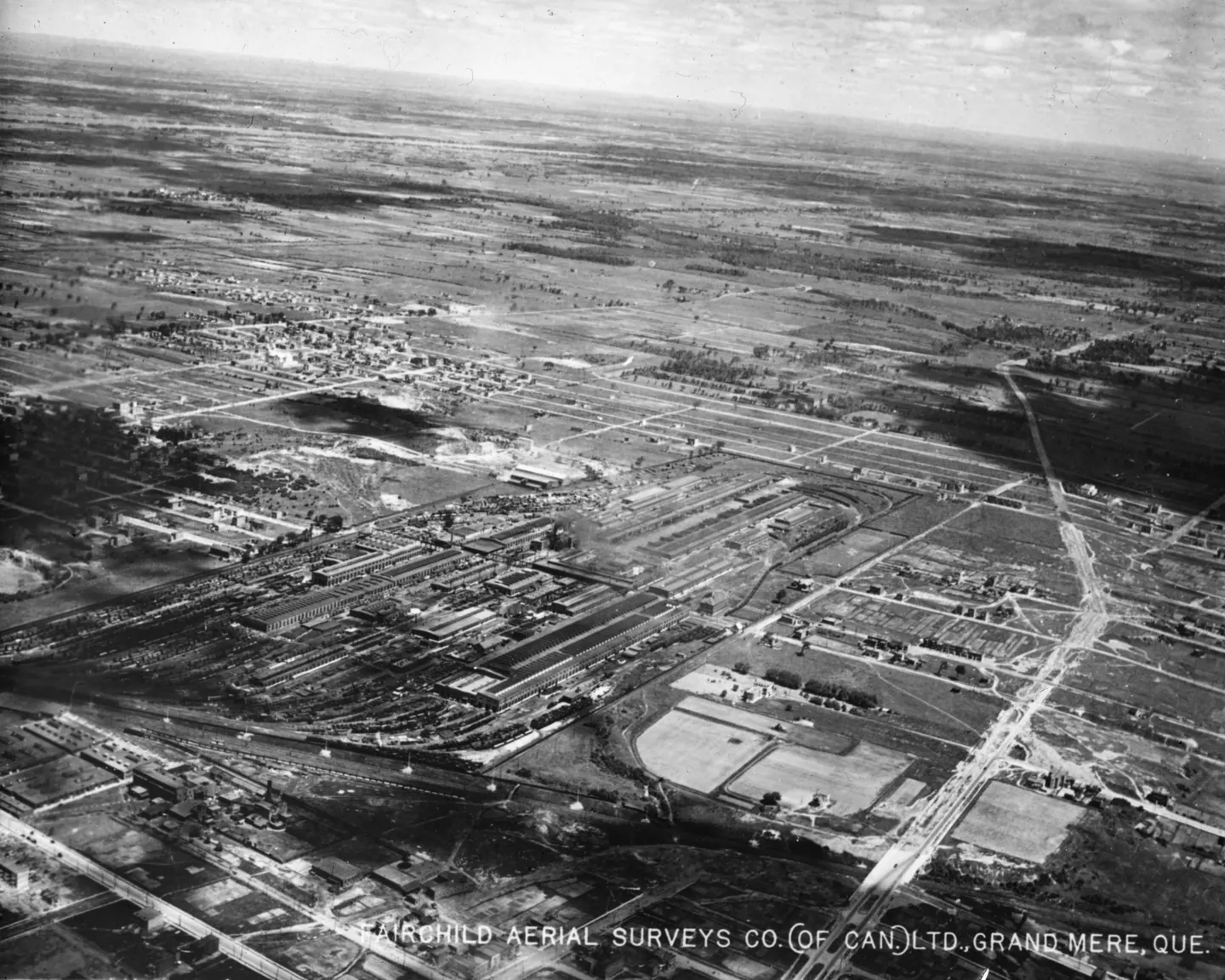
of the city, aerial view, 1925 · 1925 · VM97,S3,D01,P055
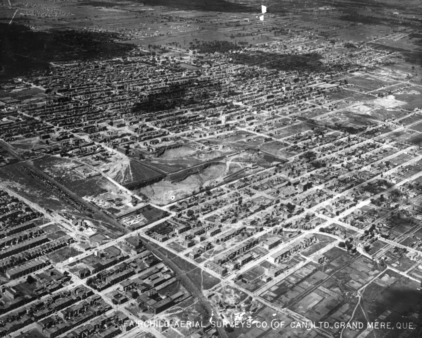
Grid city with houses, aerial view, 1925 · 1925 · VM97,S3,D01,P058
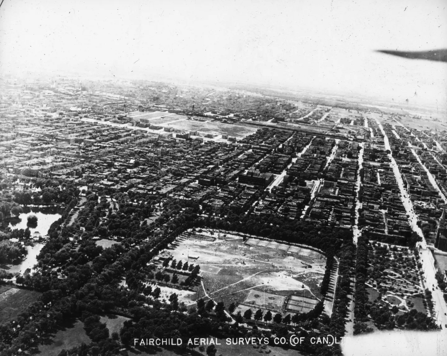
Open field with trees, Rue Ontario, aerial view, 1925 · 1925 · VM97,S3,D01,P059
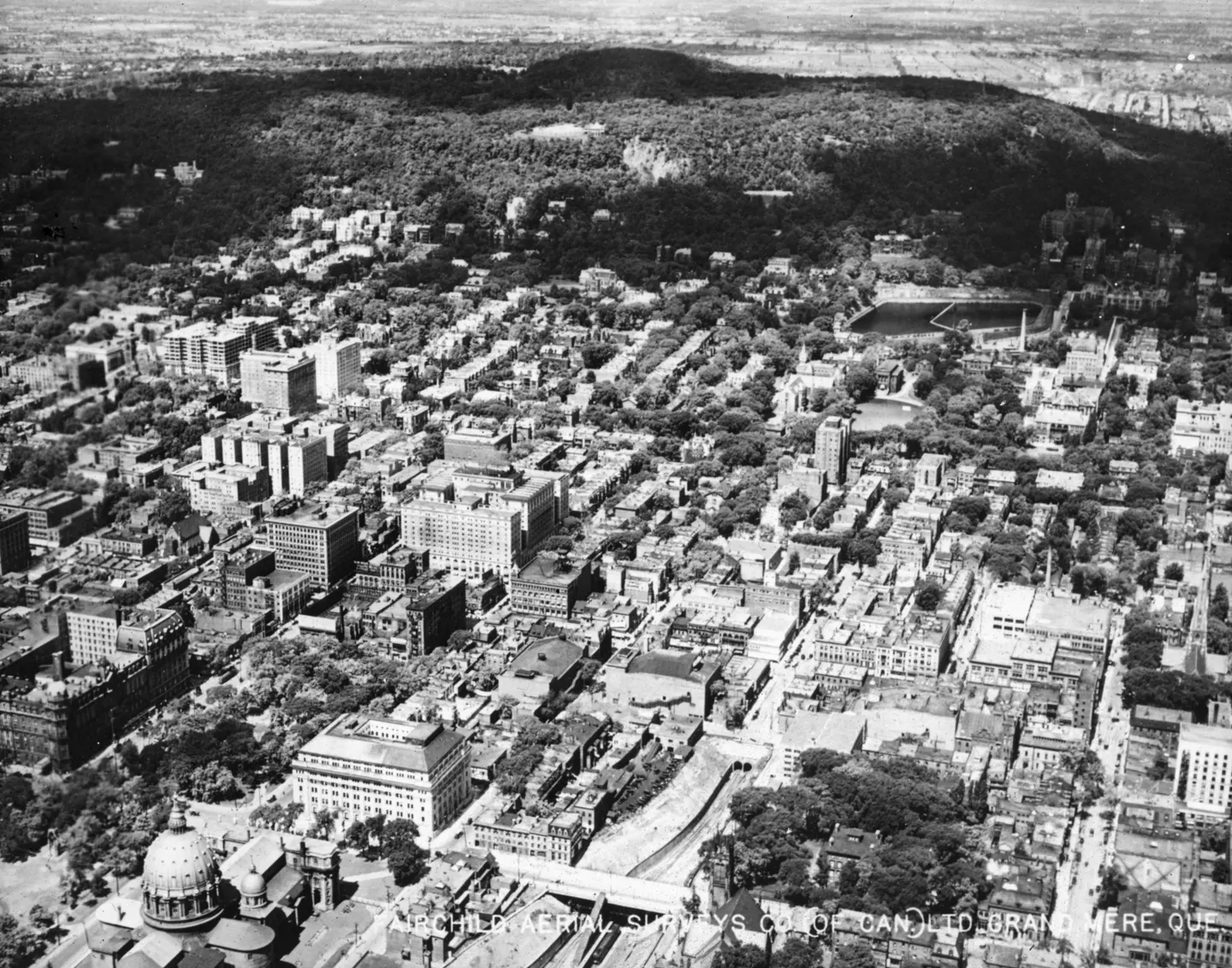
Dense buildings and wooded hill, aerial view, 1925 · 1925 · VM97,S3,D01,P060
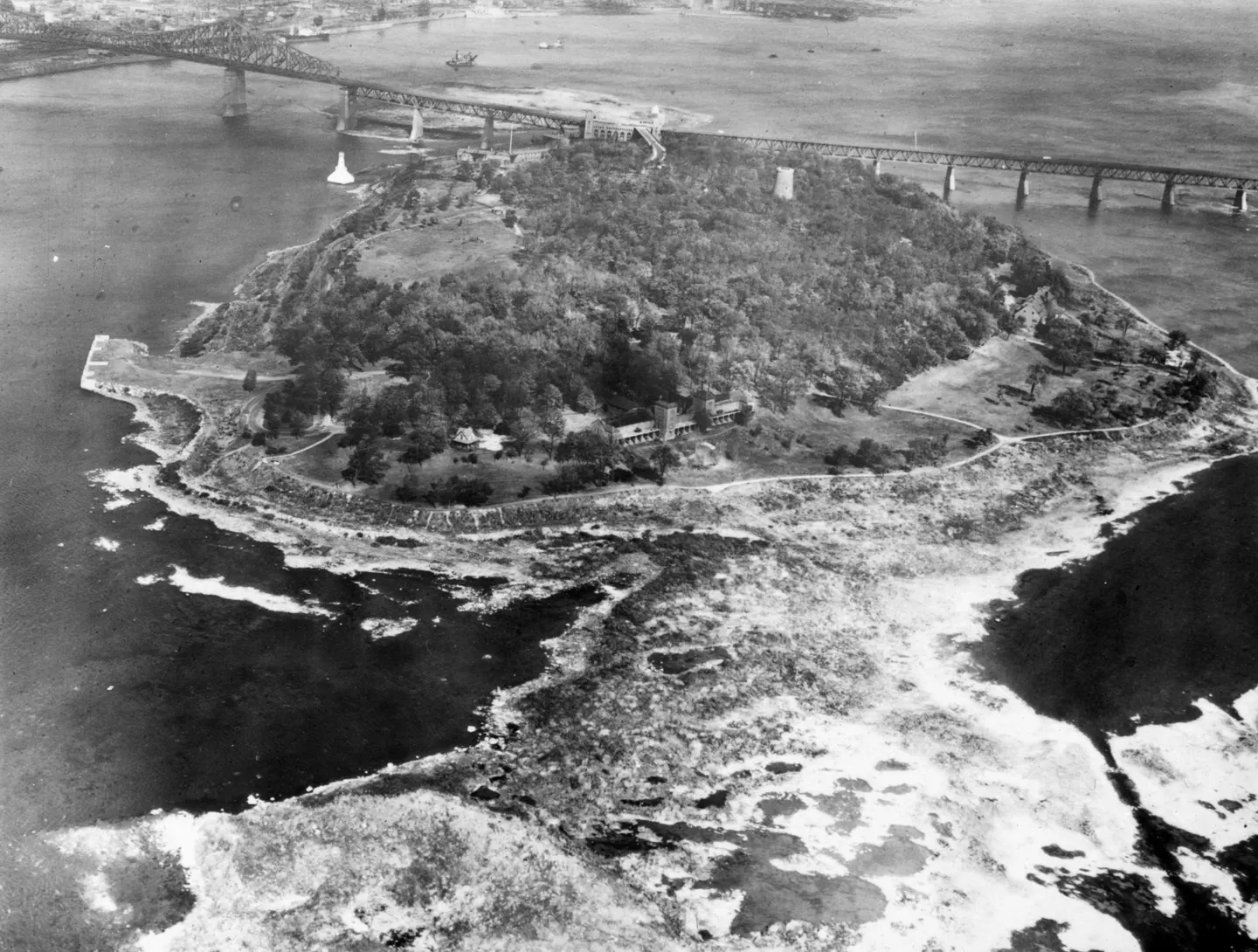
Bridge over water, Pont Jacques-Cartier, aerial view, 1930–1935 · 1930 · VM97,S3,D01,P066
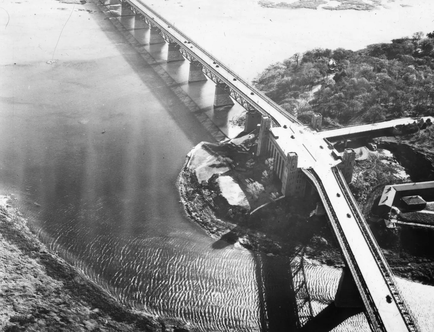
Jacques Cartier Bridge, Pont Jacques-Cartier, aerial view, 1925–1935 · 1925 · VM97,S3,D01,P071
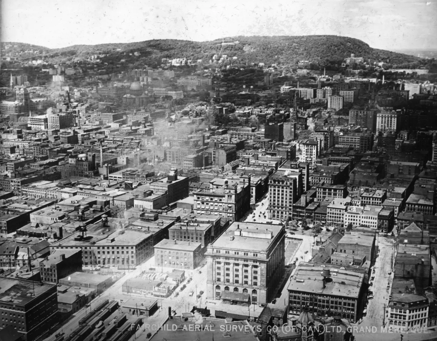
Dense city blocks, aerial view, 1925 · 1925 · VM97,S3,D01,P073
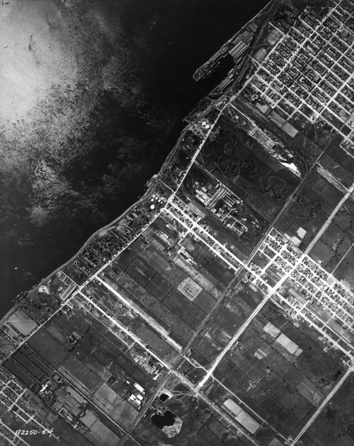
Montreal port, aerial view, 1925–1935 · 1925 · VM97,S3,D01,P030
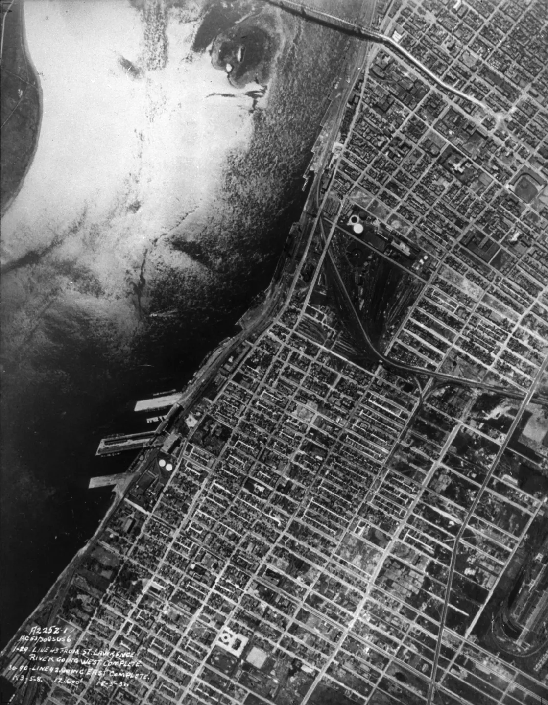
Waterfront street grid, Pont Jacques-Cartier, aerial view, 1930 · 1930 · VM97,S3,D01,P031
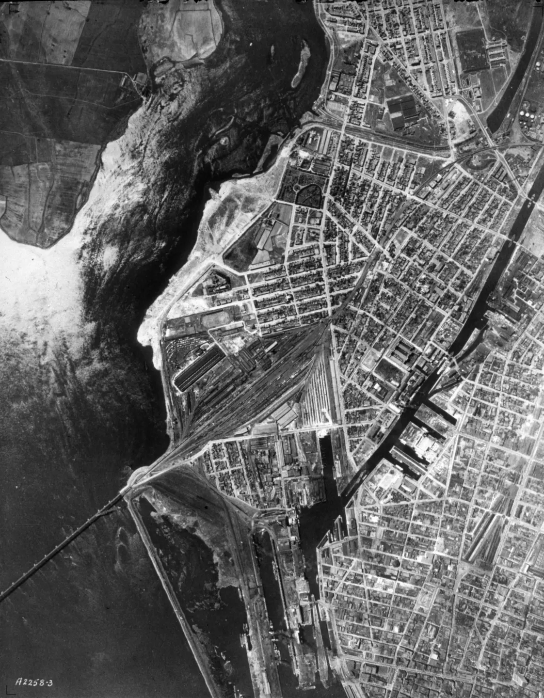
Map of Montreal, Pont Victoria, aerial view, 1925–1935 · 1925 · VM97,S3,D01,P036
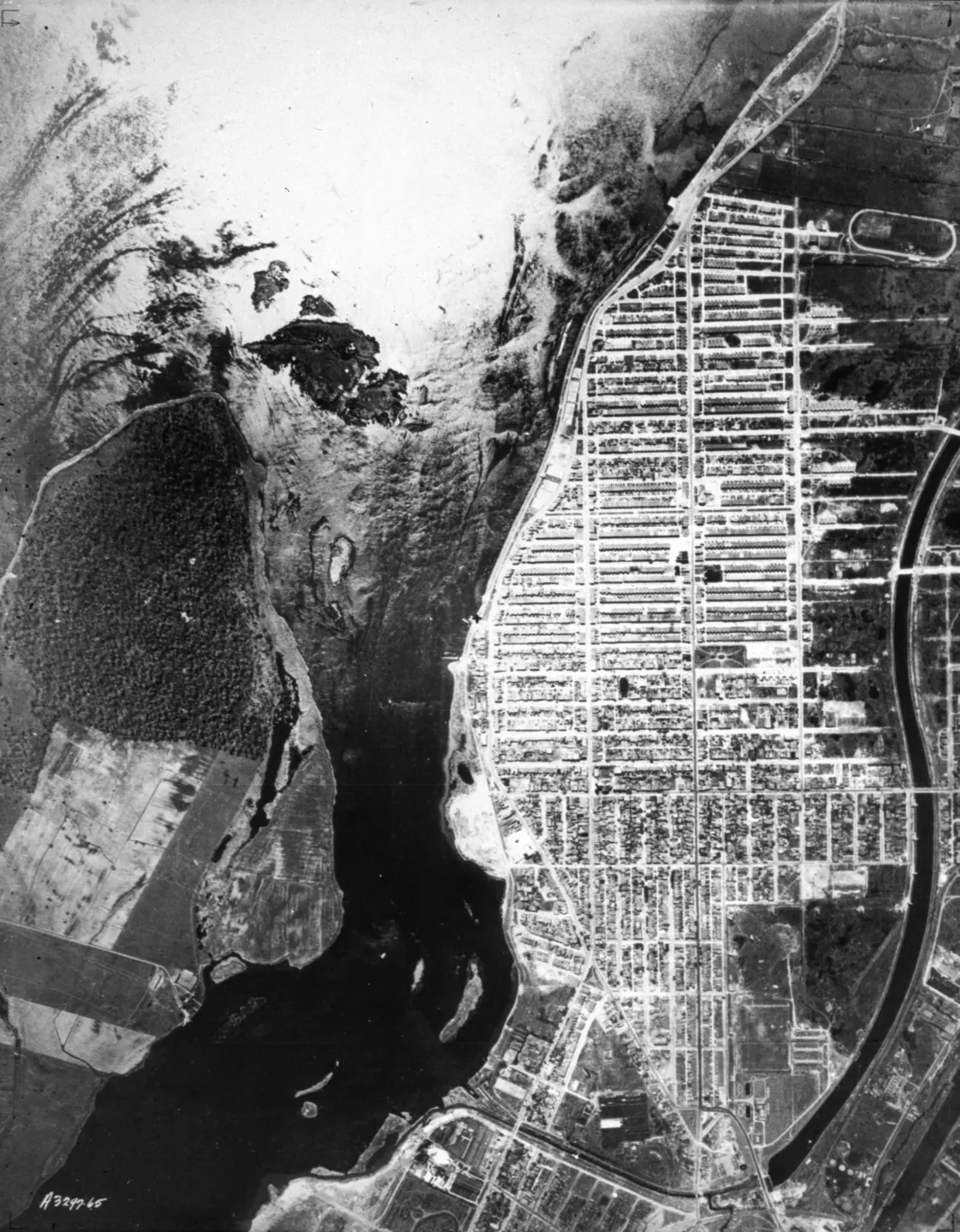
Bridge over a body of water, aerial view, 1925–1935 · 1925 · VM97,S3,D01,P037
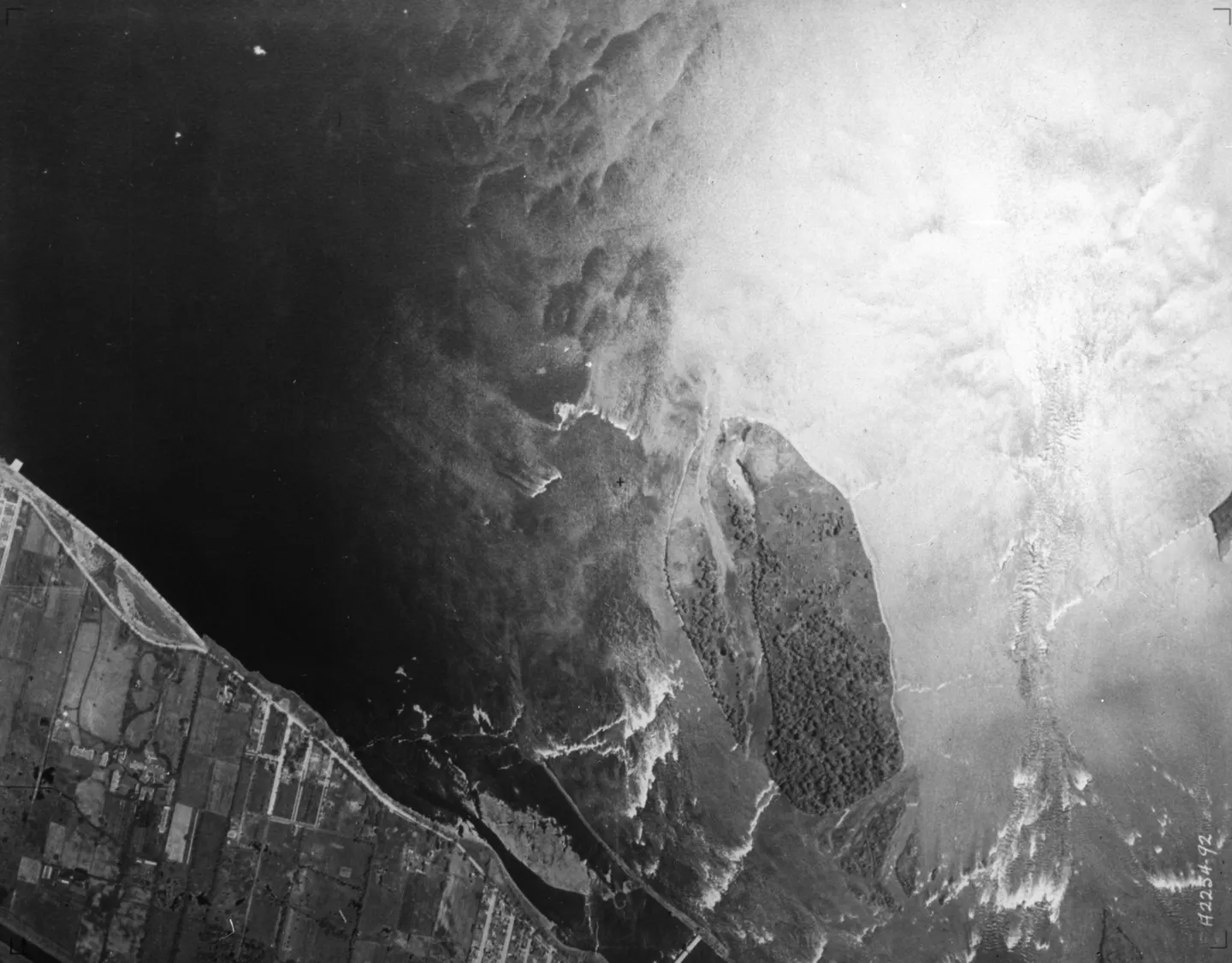
of the St. Lawrence River, aerial view, 1925–1935 · 1925 · VM97,S3,D01,P038
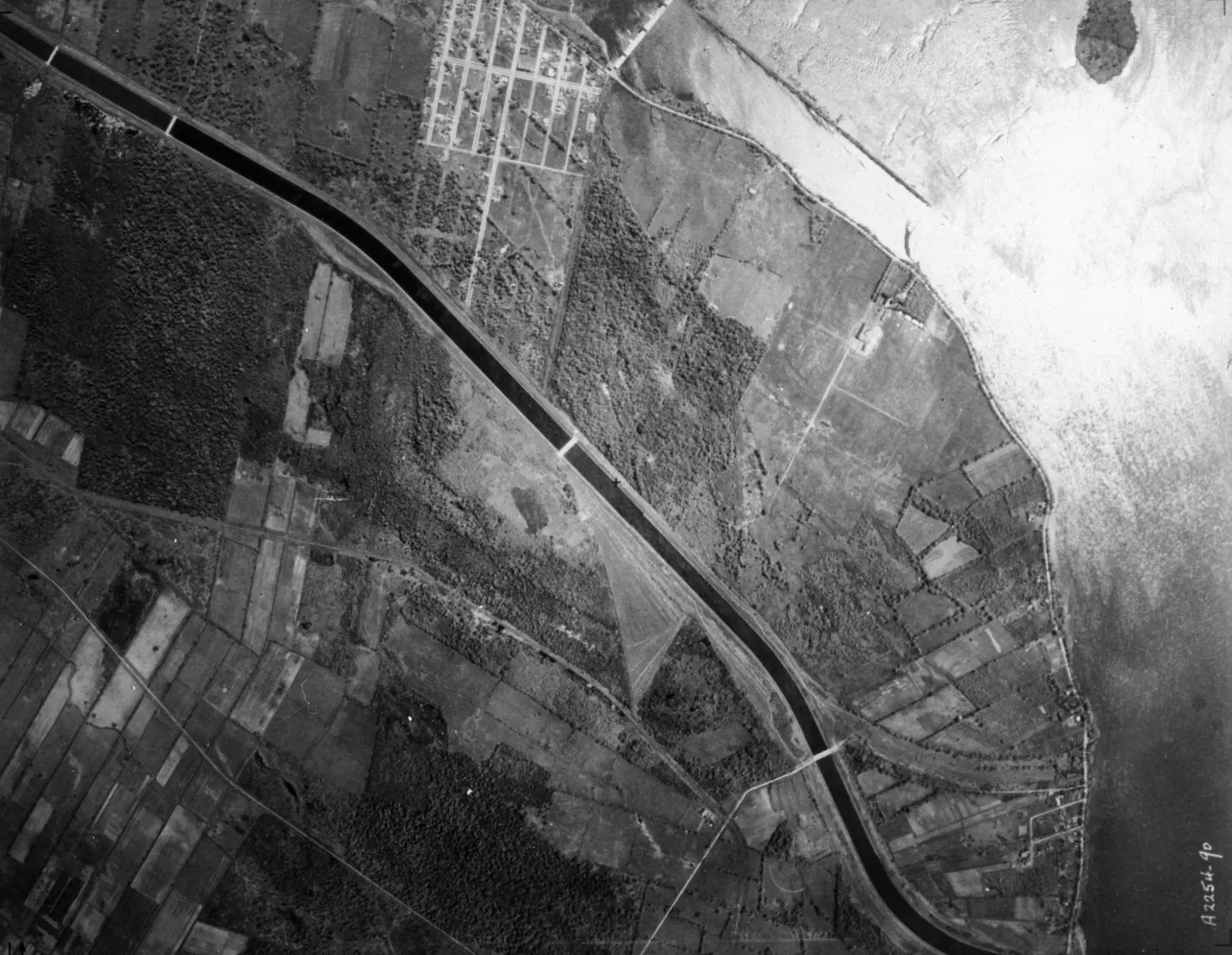
Rural river with buildings, Boulevard LaSalle, aerial view, 1925–1935 · 1925 · VM97,S3,D01,P039
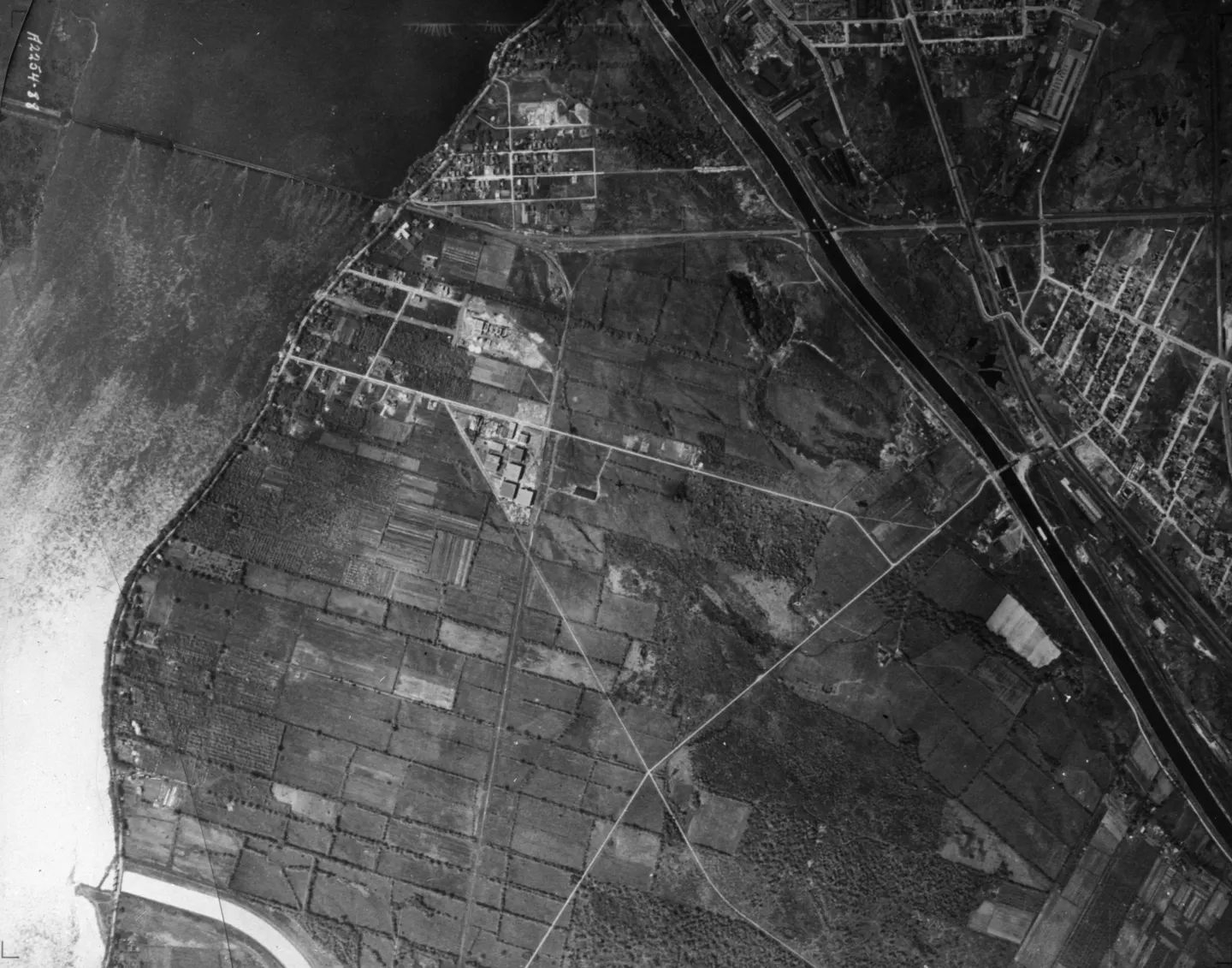
Coastal fields with roads, aerial view, 1925–1935 · 1925 · VM97,S3,D01,P040
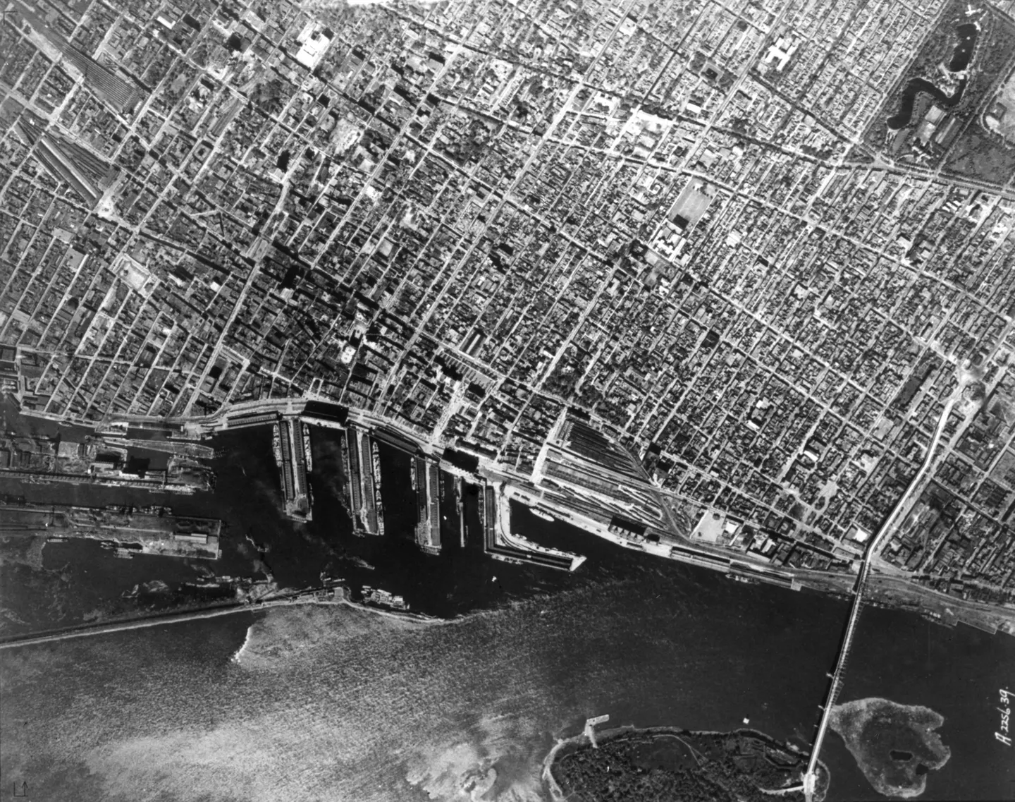
City blocks, Pont Jacques-Cartier, aerial view, 1925–1935 · 1925 · VM97,S3,D01,P041
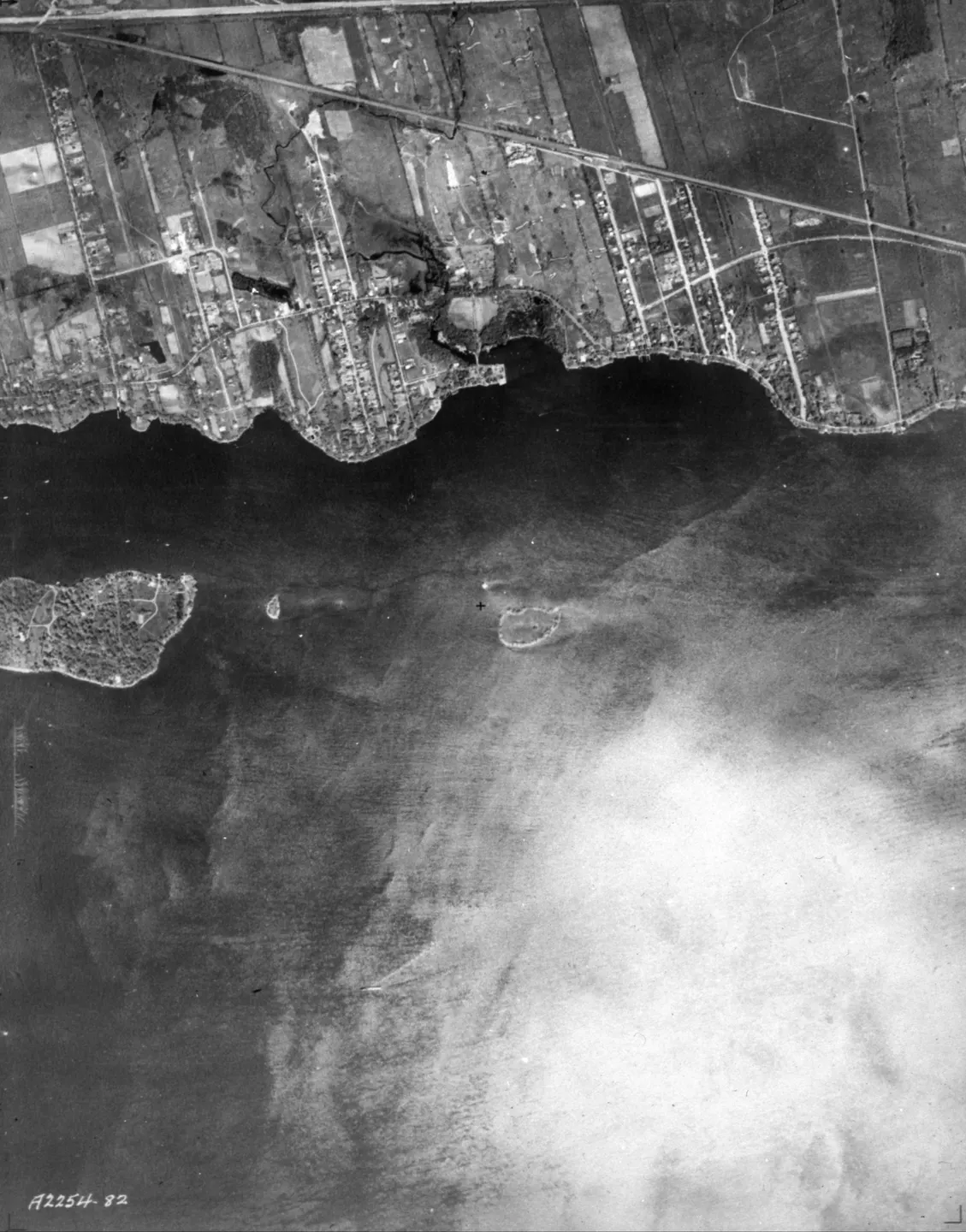
of Lachine 1925, aerial view, 1925–1935 · 1925 · VM97,S3,D01,P043
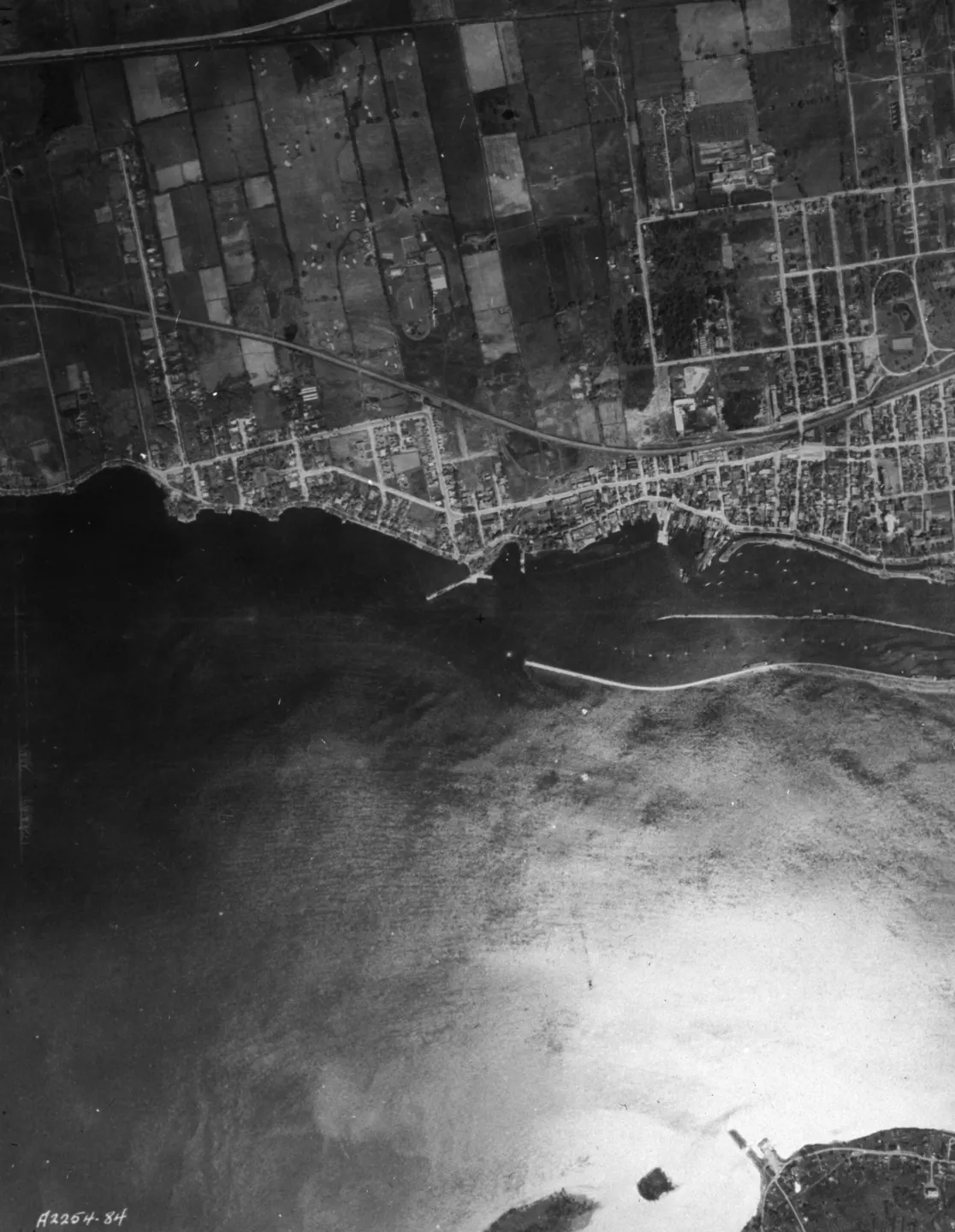
Shoreline with fields and grid, Rue Victoria, aerial view, 1925–1935 · 1925 · VM97,S3,D01,P044
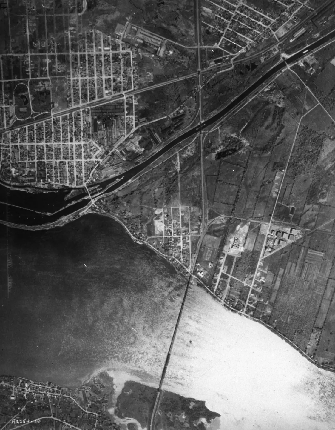
Bridge over river with shoreline roads, aerial view, 1925–1935 · 1925 · VM97,S3,D01,P045
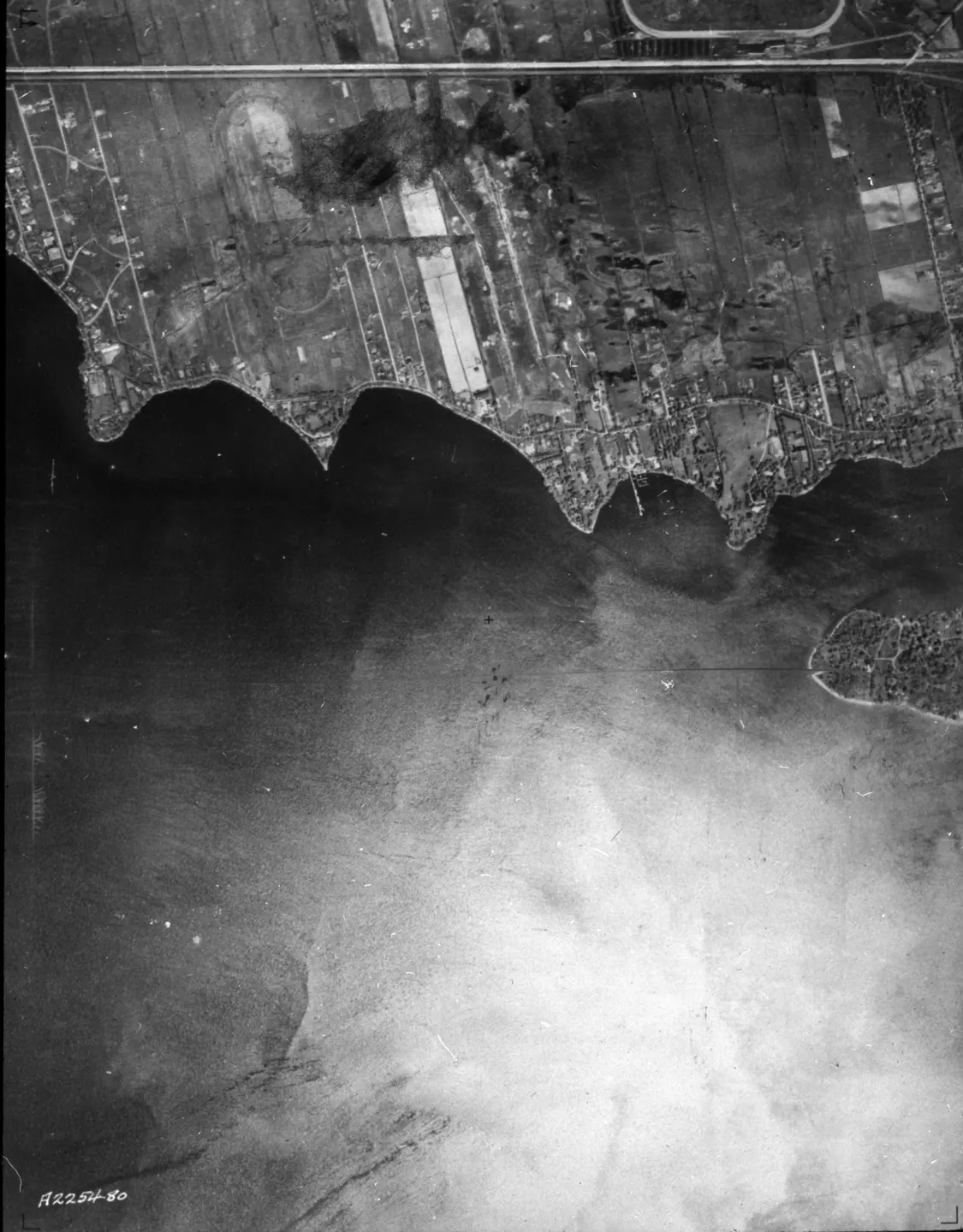
of Montreal, aerial view, 1925–1935 · 1925 · VM97,S3,D01,P087
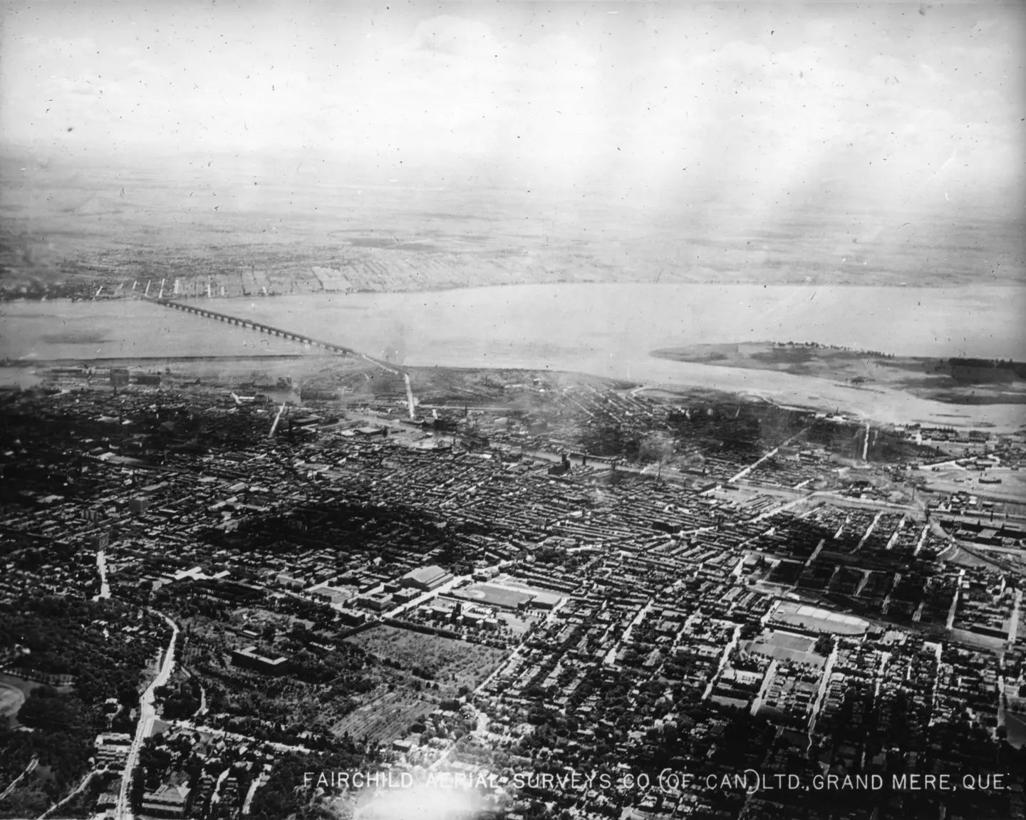
Urban buildings and bridges, Pont Victoria, aerial view, 1925 · 1925 · VM97,S3,D01,P012
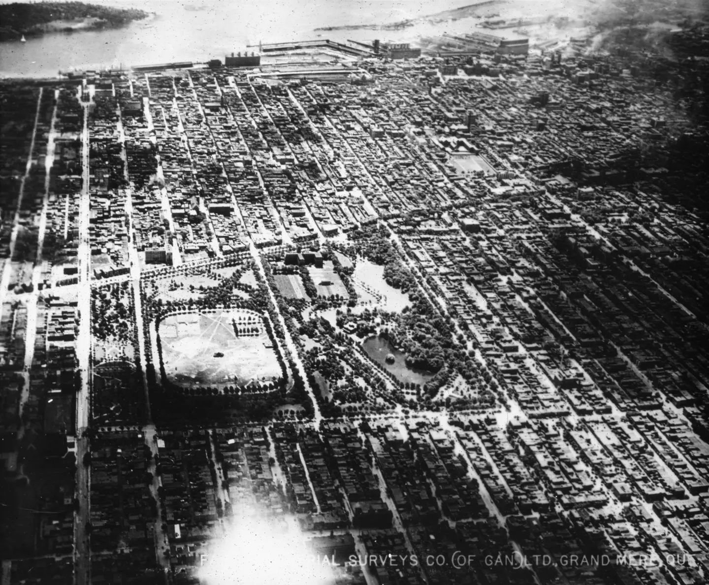
Grid of streets and open, Le Plateau-Mont-Royal, aerial view, 1925 · 1925 · VM97,S3,D01,P013
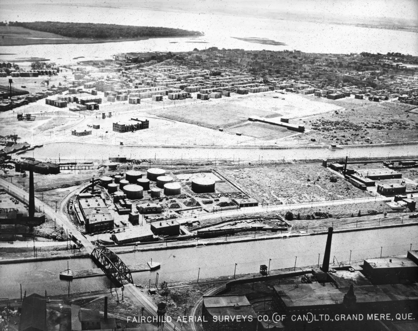
Industrial waterfront storage, aerial view, 1925 · 1925 · VM97,S3,D01,P014
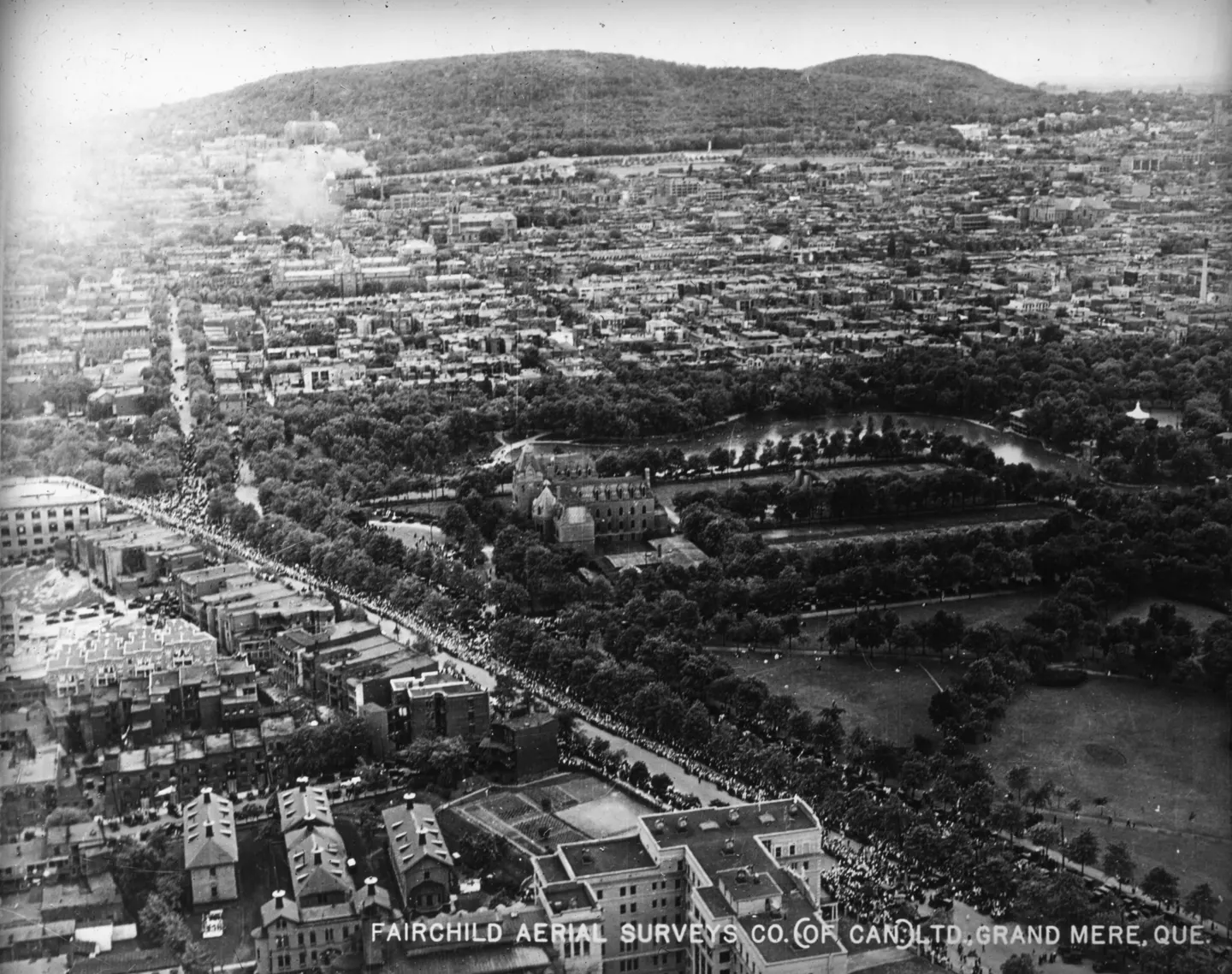
Urban blocks with wooded hill, Rue Sherbrooke, aerial view, 1925 · 1925 · VM97,S3,D01,P015
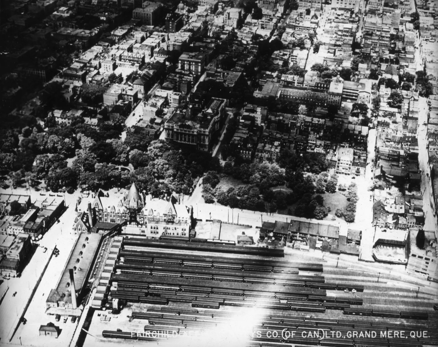
of Viger station area, Vieux-Montréal, aerial view, 1925 · 1925 · VM97,S3,D01,P016
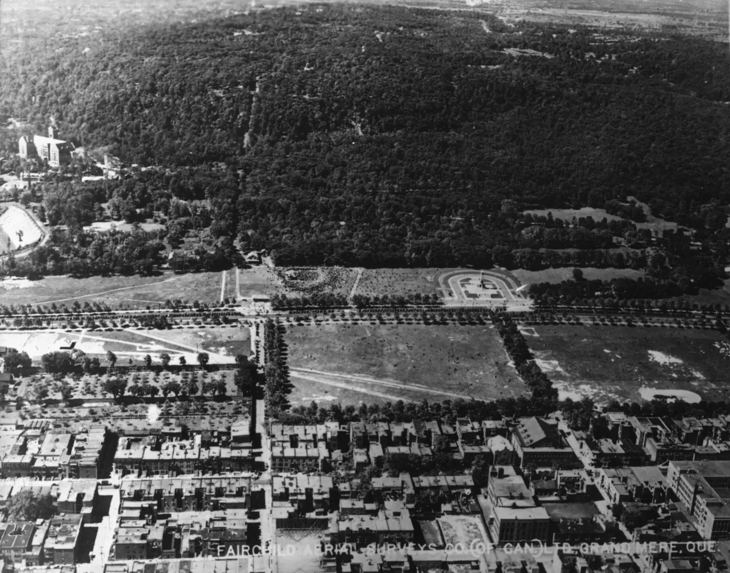
Rectangular field and urban, Le Plateau-Mont-Royal, aerial view, 1925 · 1925 · VM97,S3,D01,P017
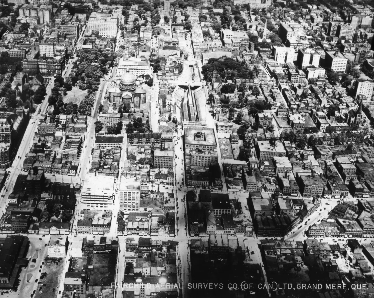
Dense urban neighborhood, aerial view, 1925 · 1925 · VM97,S3,D01,P018
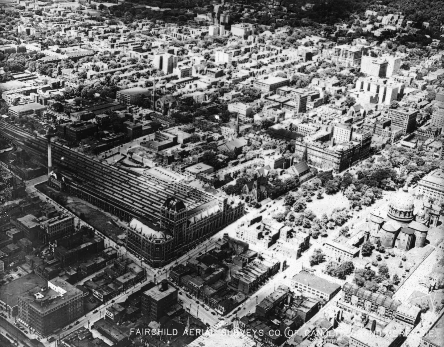
Building complex, aerial view, 1925 · 1925 · VM97,S3,D01,P020
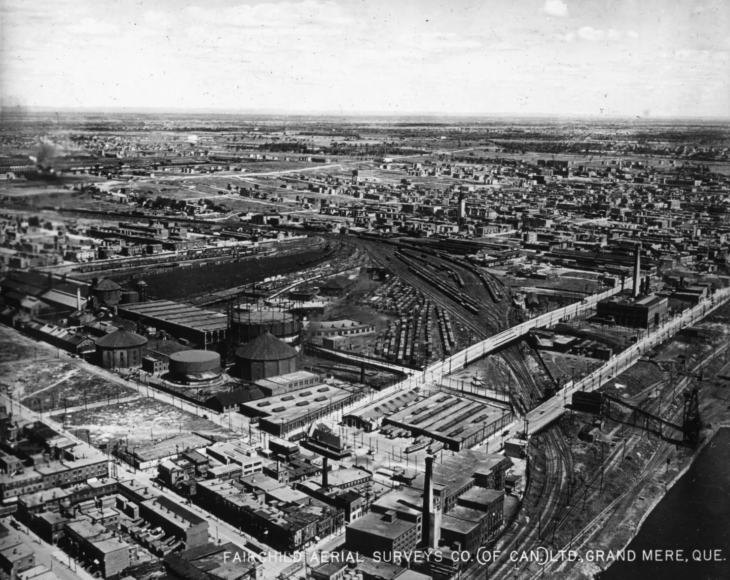
Industrial district aerial, aerial view, 1925 · 1925 · VM97,S3,D01,P021
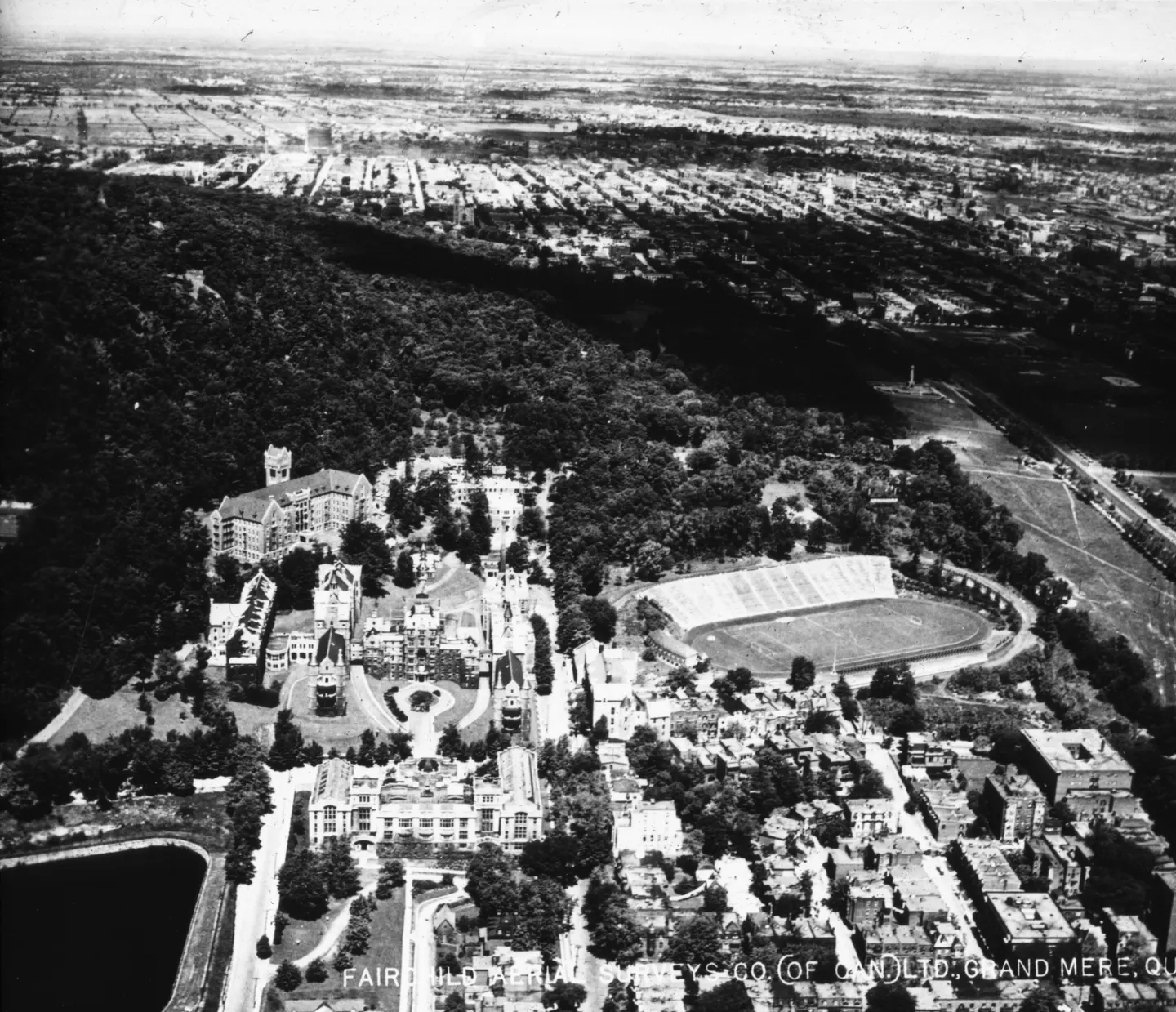
Building with clock tower, aerial view, 1925 · 1925 · VM97,S3,D01,P023
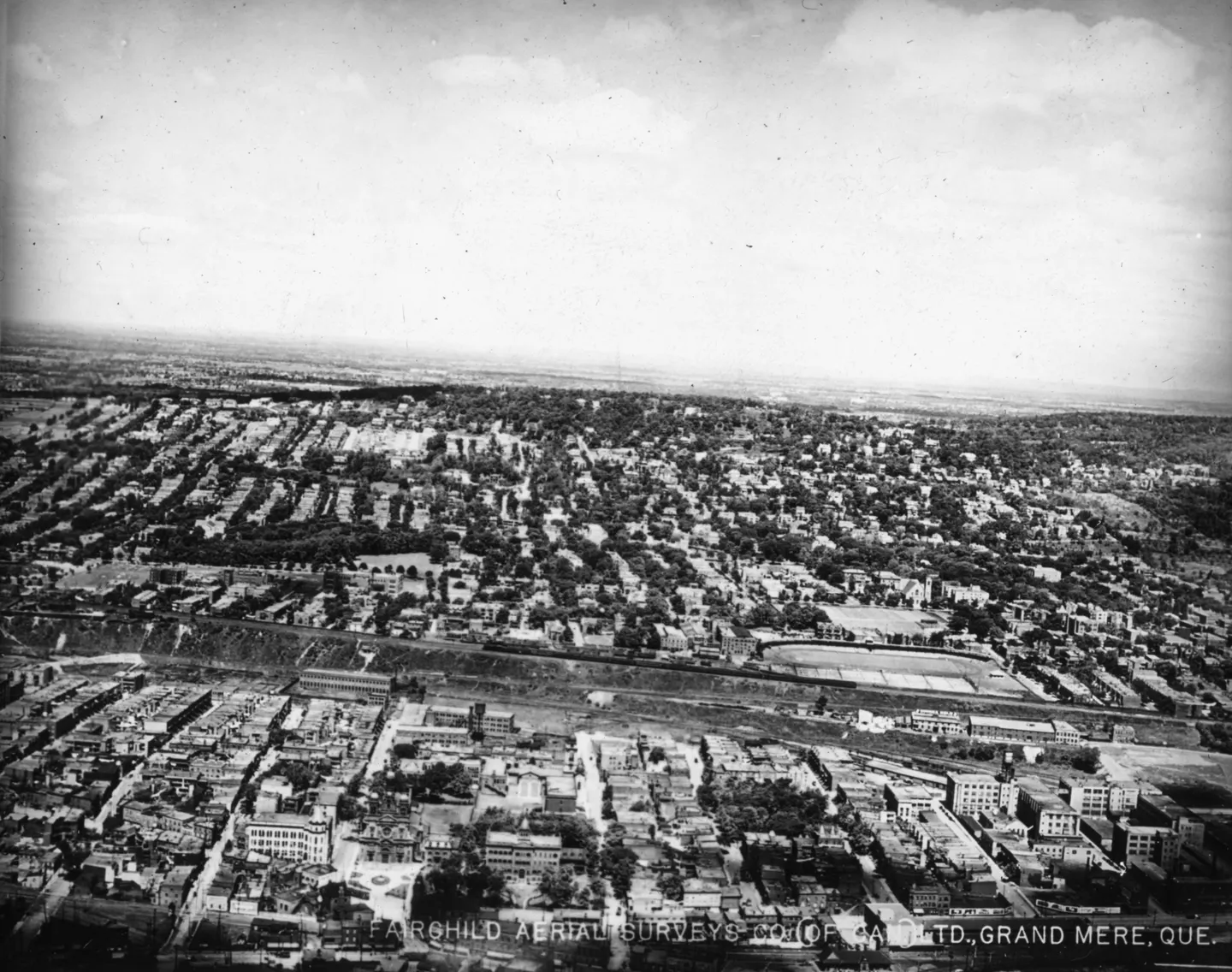
City blocks divided by railway, aerial view, 1925 · 1925 · VM97,S3,D01,P024
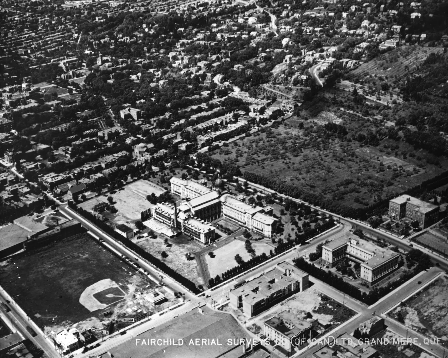
Aerial baseball field, aerial view, 1925 · 1925 · VM97,S3,D01,P025
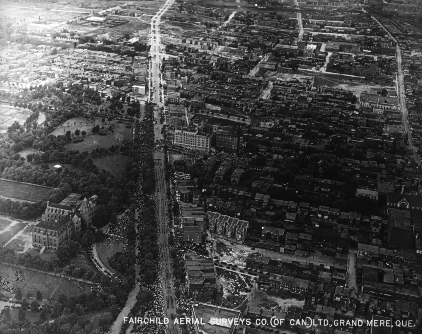
Sherbrooke Street, Rue Sherbrooke, aerial view, 1925 · 1925 · VM97,S3,D01,P026
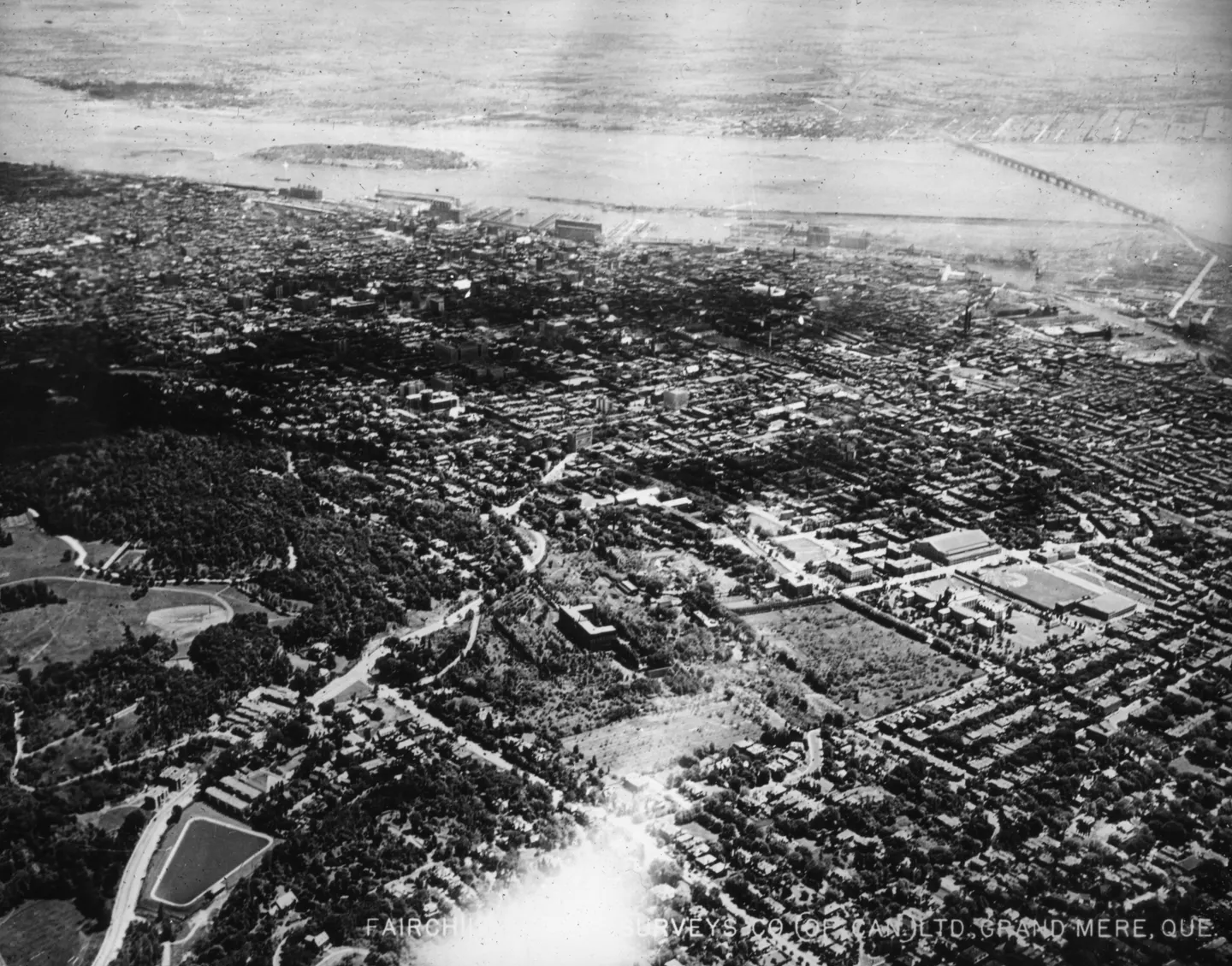
Urban buildings and bridge, Pont Victoria, aerial view, 1925 · 1925 · VM97,S3,D01,P027
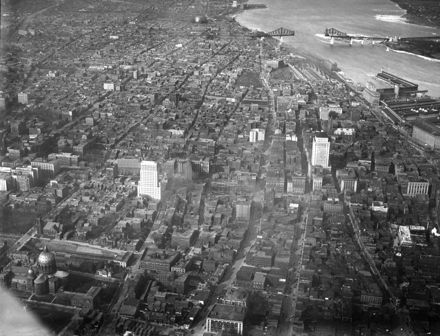
Pont Jacques-Cartier and, aerial view, 1929 · 1929 · VM97,S3,D01,P028
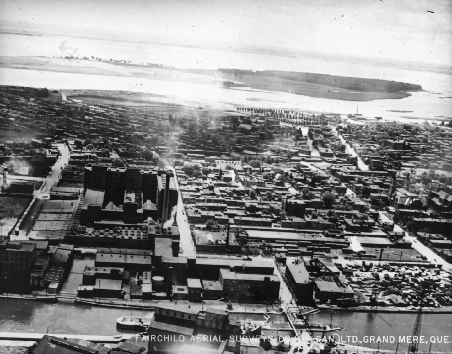
Industrial buildings and water, aerial view, 1925 · 1925 · VM97,S3,D01,P029
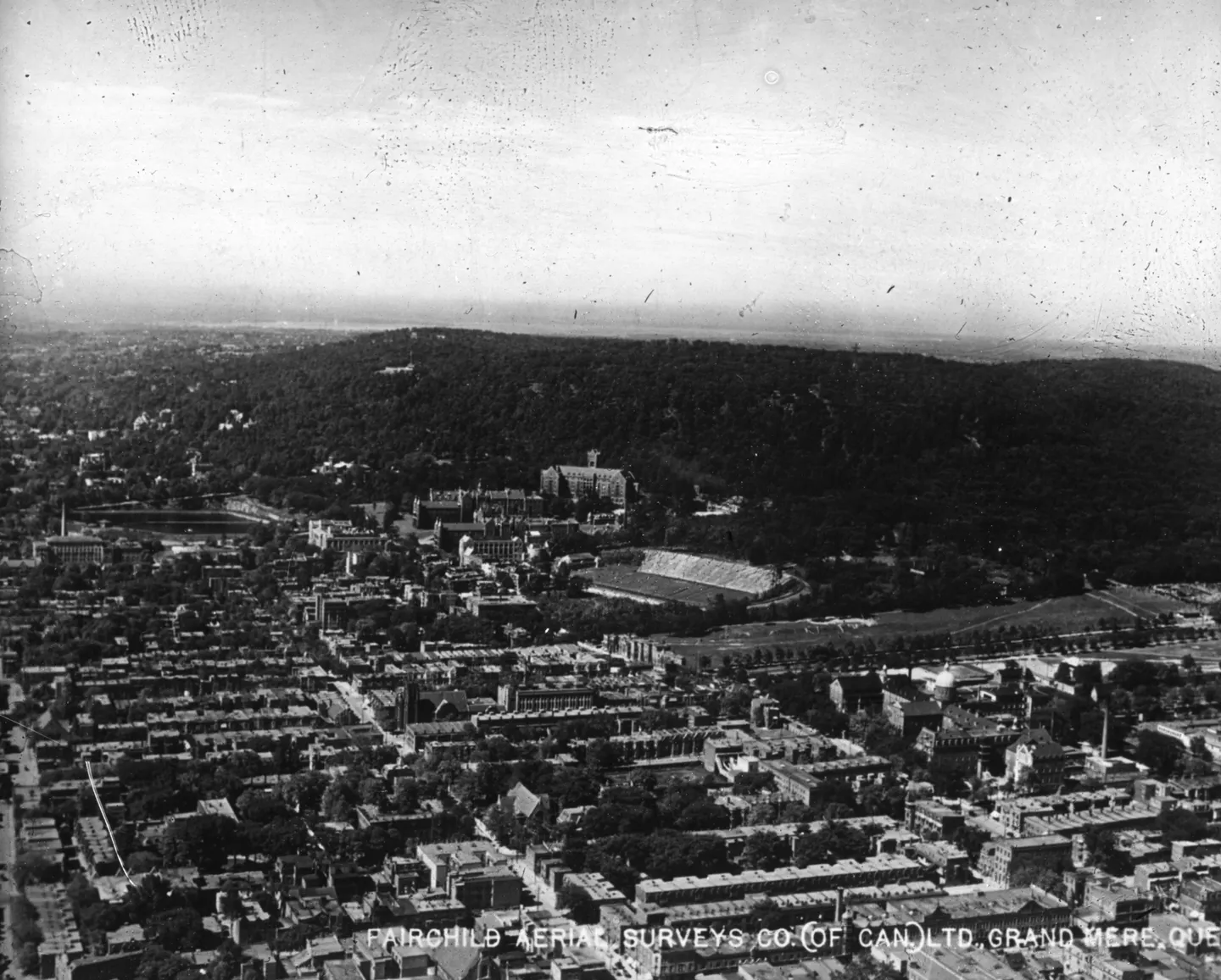
Central building and city, aerial view, 1925 · 1925 · VM97,S3,D01,P034
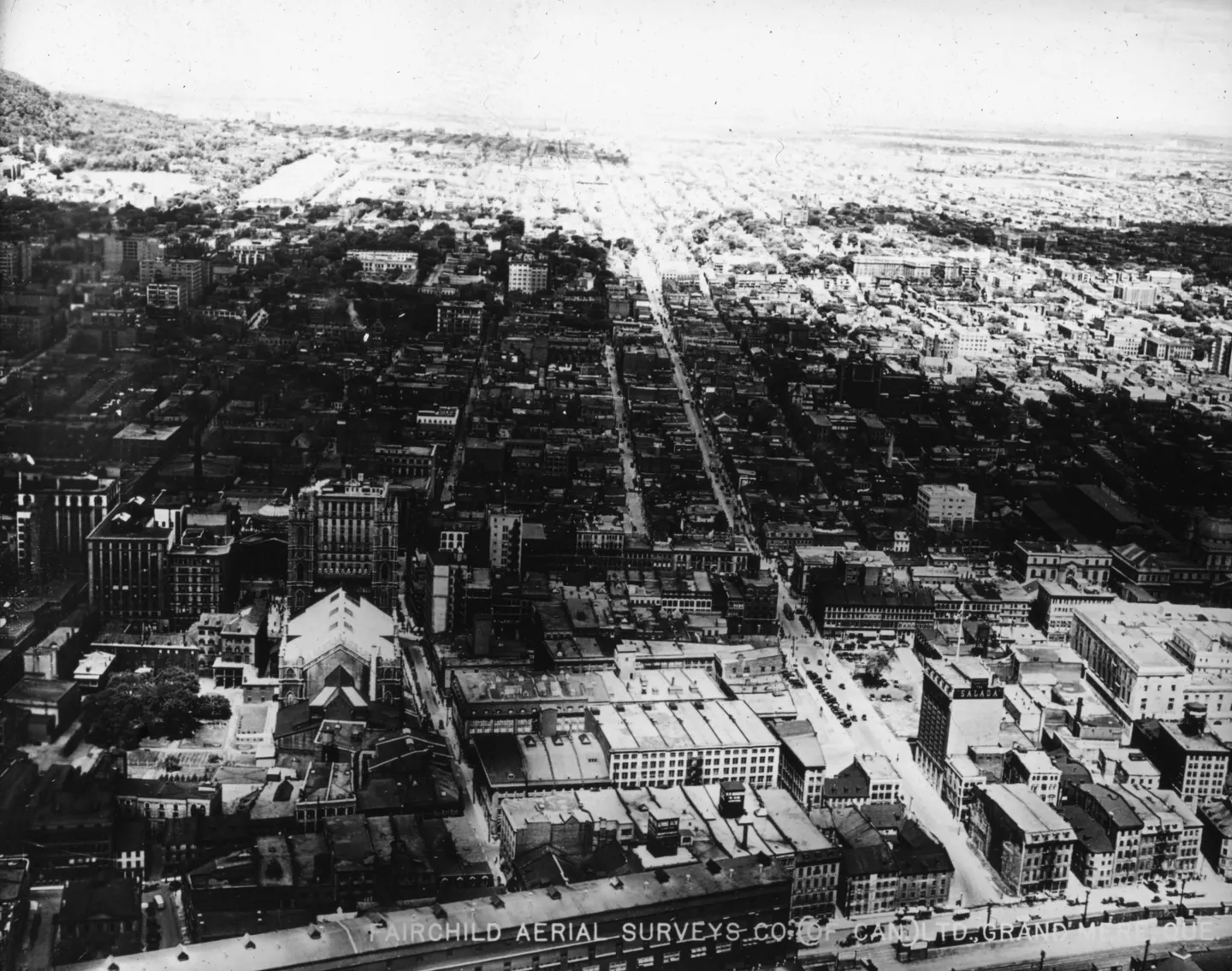
Street with building, Boulevard Saint-Laurent, aerial view, 1925 · 1925 · VM97,S3,D01,P035
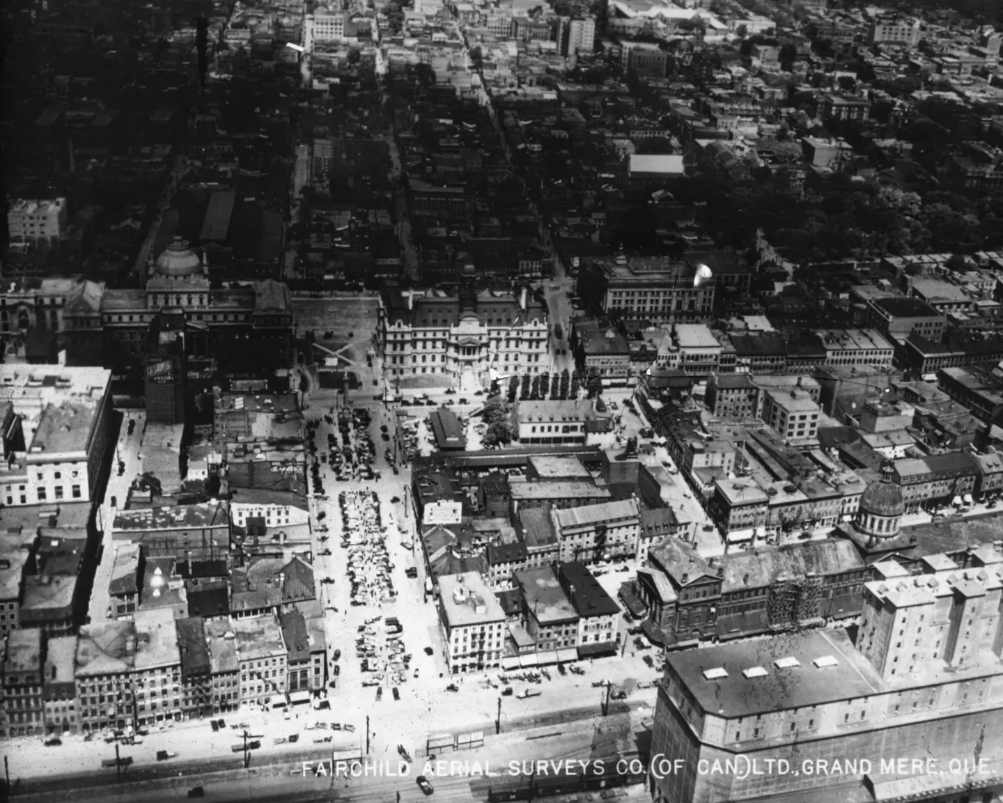
Place Jacques-Cartier with, aerial view, 1925 · 1925 · VM97,S3,D01,P042
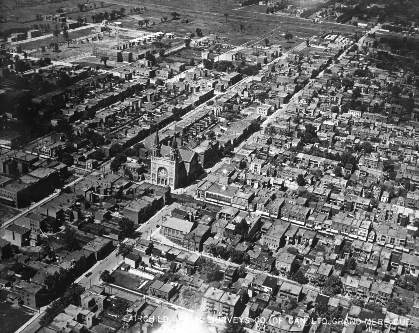
Church with tower, aerial view, 1925 · 1925 · VM97,S3,D01,P050
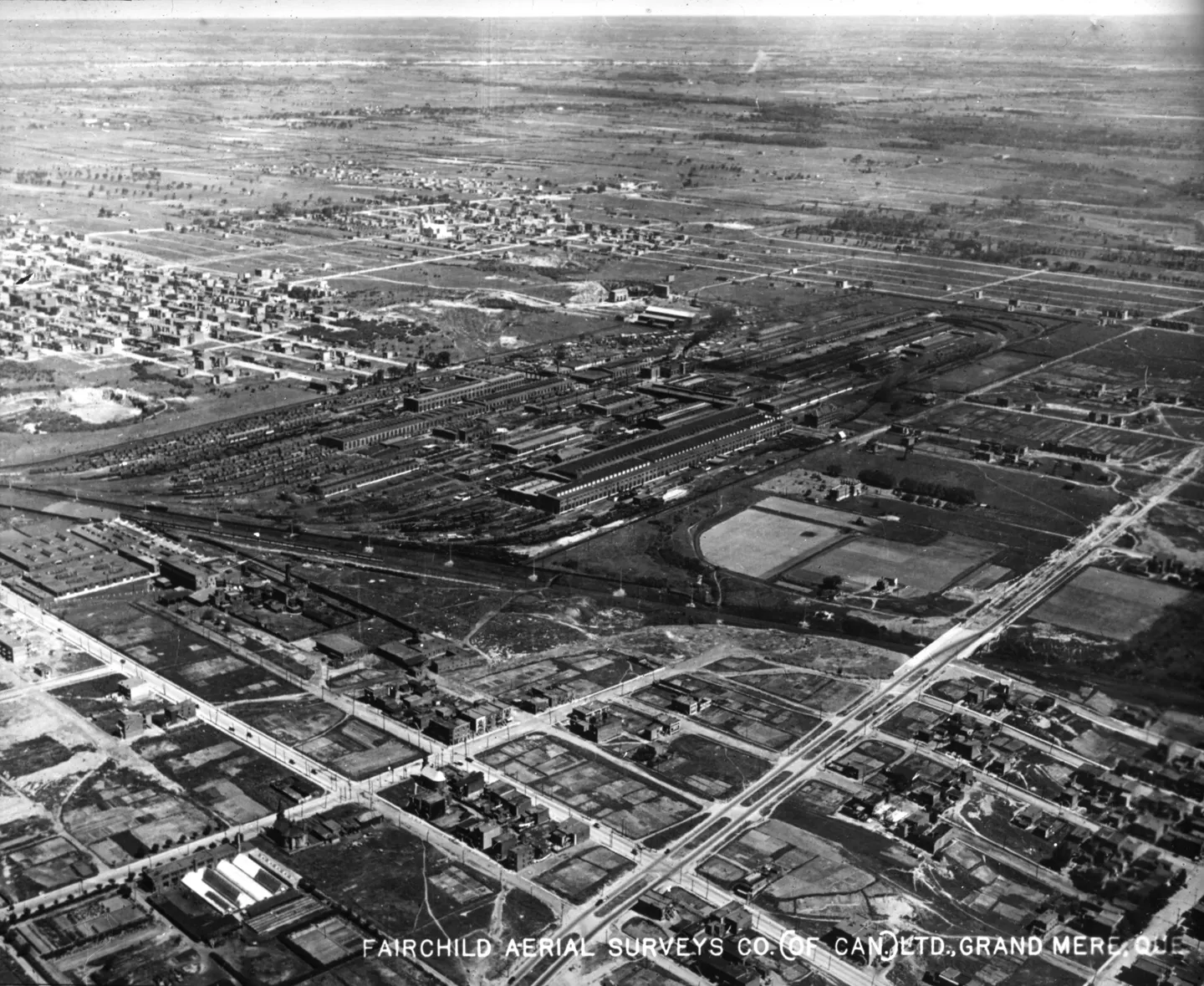
Aerial street with buildings, aerial view, 1925 · 1925 · VM97,S3,D01,P051
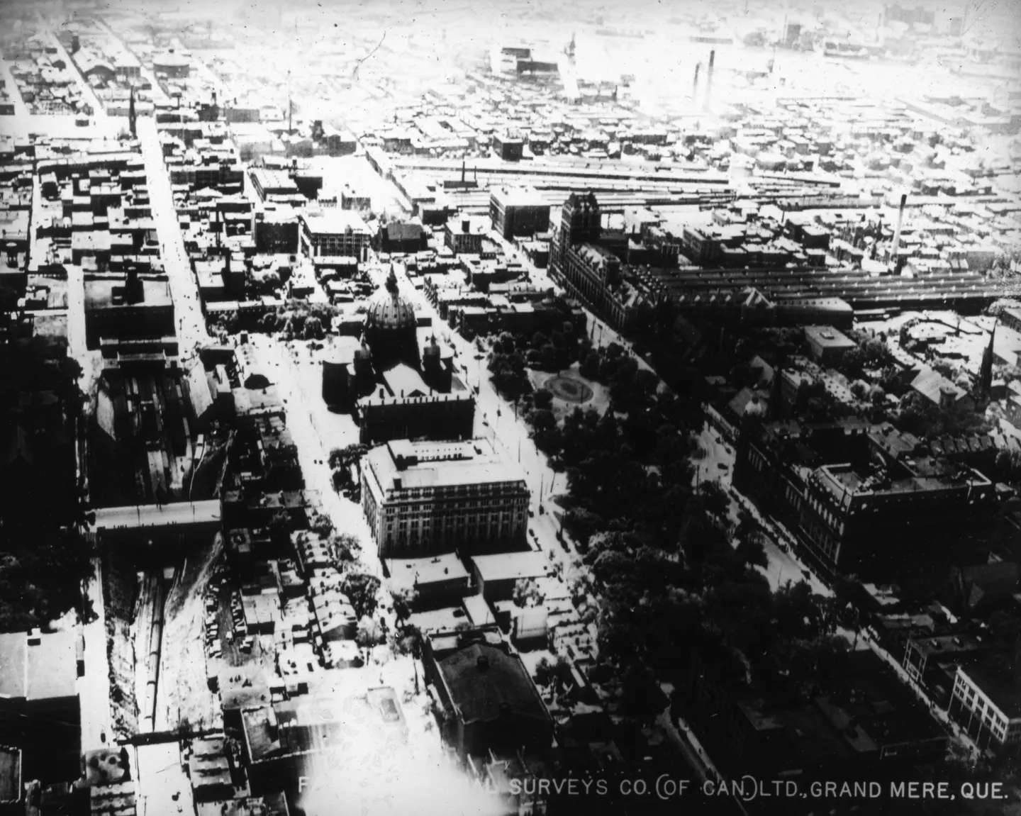
Dense urban neighborhood, aerial view, 1925 · 1925 · VM97,S3,D01,P052
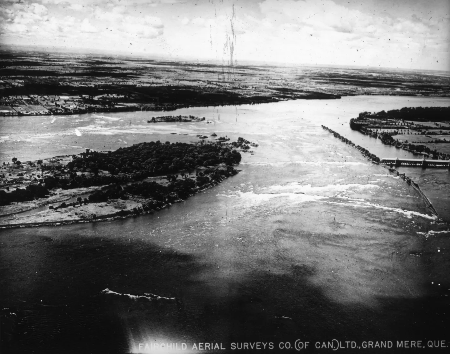
River with bridges and islands, aerial view, 1925 · 1925 · VM97,S3,D01,P053