mtl archivesAn address, a neighbourhood, a placeEN FR
Curved building and piers along a waterfront in a dense urban area

NEIGHBOURHOOD · 12 PHOTOGRAPHS

1925–1935

1925

The first flights, and the street

Curved building and piers, Place d'Armes, aerial view, 1925 · VM97,S3,D01,P054 · Photographs: Archives de la Ville de Montréal

The first flights, and the street

43 photos · The earliest views
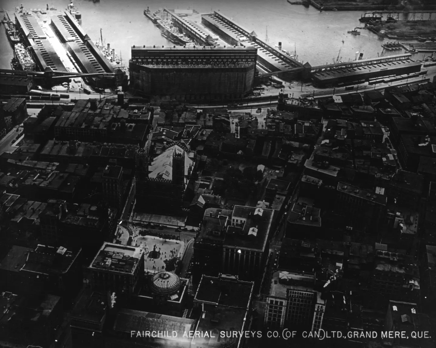
Curved building and piers along a waterfront in a dense urban area

1925 · VM97,S3,D01,P054

Curved building and piers, Place d'Armes, aerial view, 1925
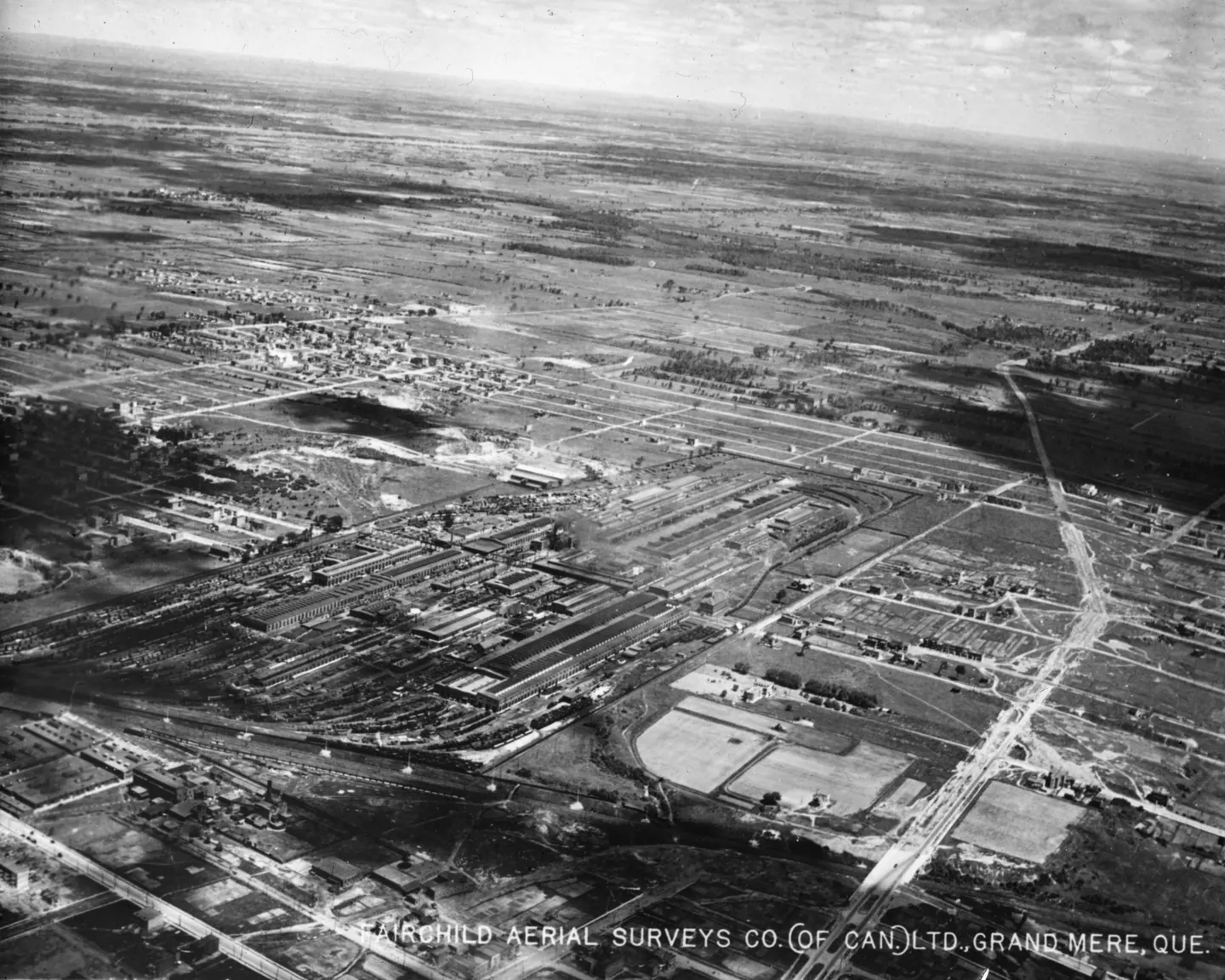
Oblique aerial view of an urban sector, buildings, streets and parks visible

1925 · VM97,S3,D01,P055

of the city, aerial view, 1925
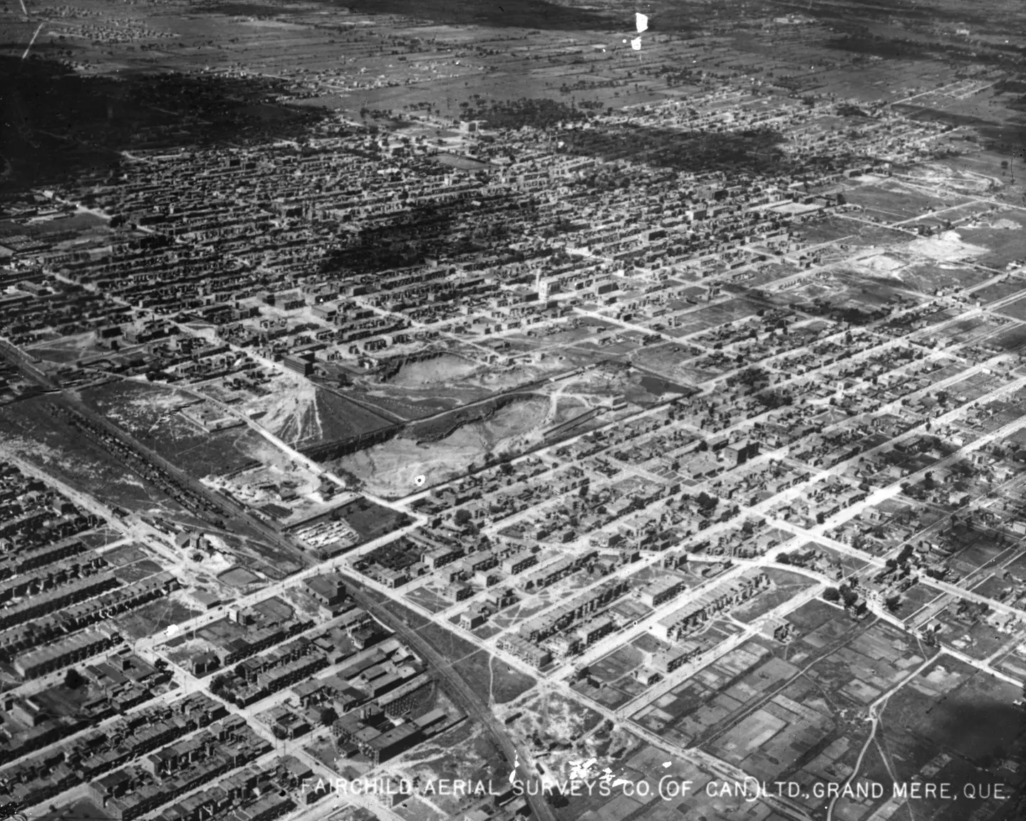
An aerial view of a Montreal city showing many houses arranged in a grid, with streets between them.

1925 · VM97,S3,D01,P058

Grid city with houses, aerial view, 1925
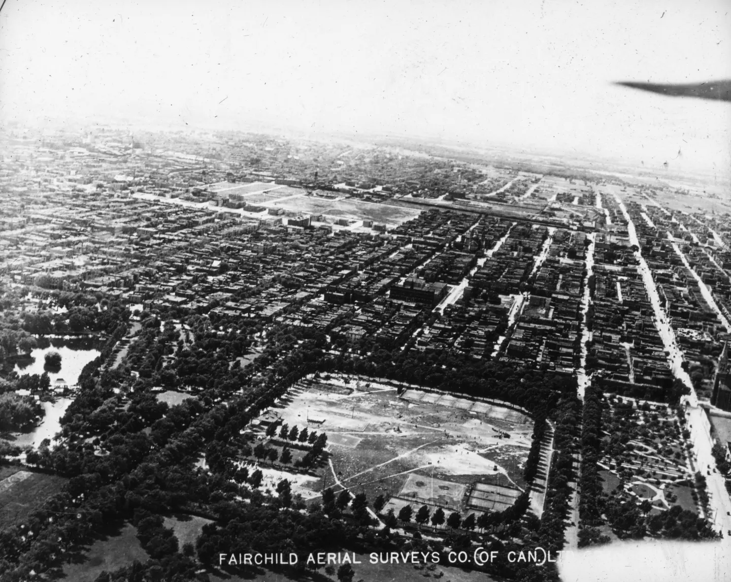
Rectangular open field, trees lining streets, street grid

1925 · VM97,S3,D01,P059

Open field with trees, Rue Ontario, aerial view, 1925
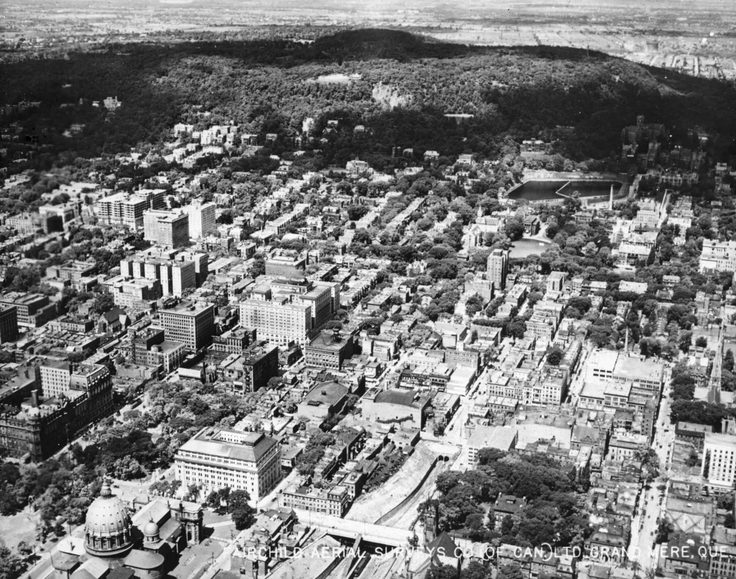
An aerial photo of dense buildings beside a wooded hill, with a domed building in the foreground.

1925 · VM97,S3,D01,P060

Dense buildings and wooded hill, aerial view, 1925
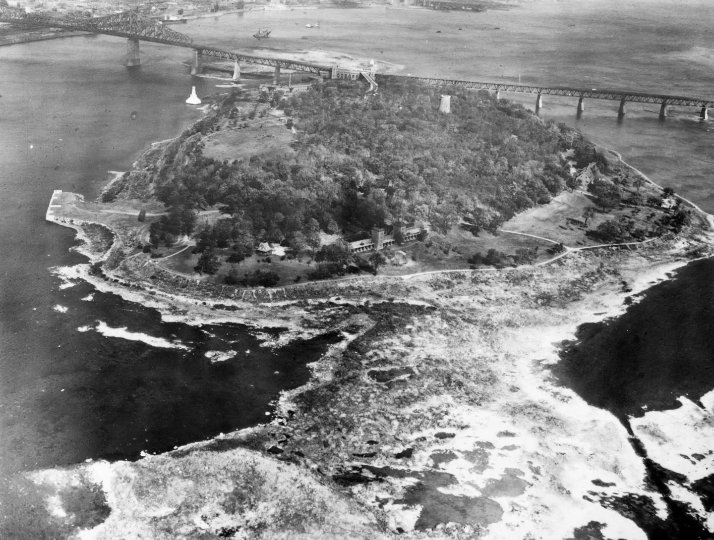
Jacques-Cartier Bridge over a body of water with a large island in the middle.

1930 · VM97,S3,D01,P066

Bridge over water, Pont Jacques-Cartier, aerial view, 1930–1935
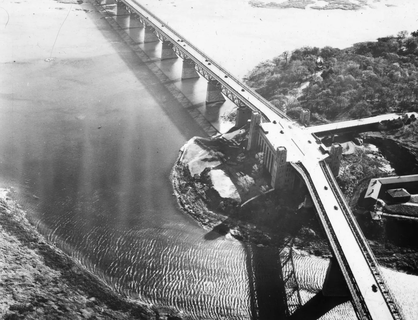
Aerial bridge supported by tall piers, crossing water beside a rocky, wooded shoreline.

1925 · VM97,S3,D01,P071

Jacques Cartier Bridge, Pont Jacques-Cartier, aerial view, 1925–1935
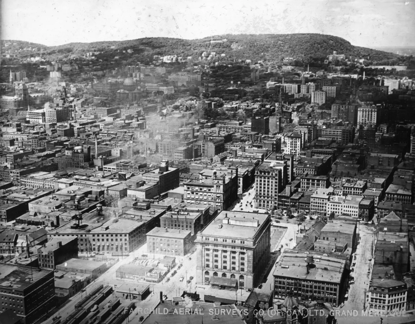
Aerial photo of dense city blocks and large civic buildings, with a wooded hill in the distance

1925 · VM97,S3,D01,P073

Dense city blocks, aerial view, 1925
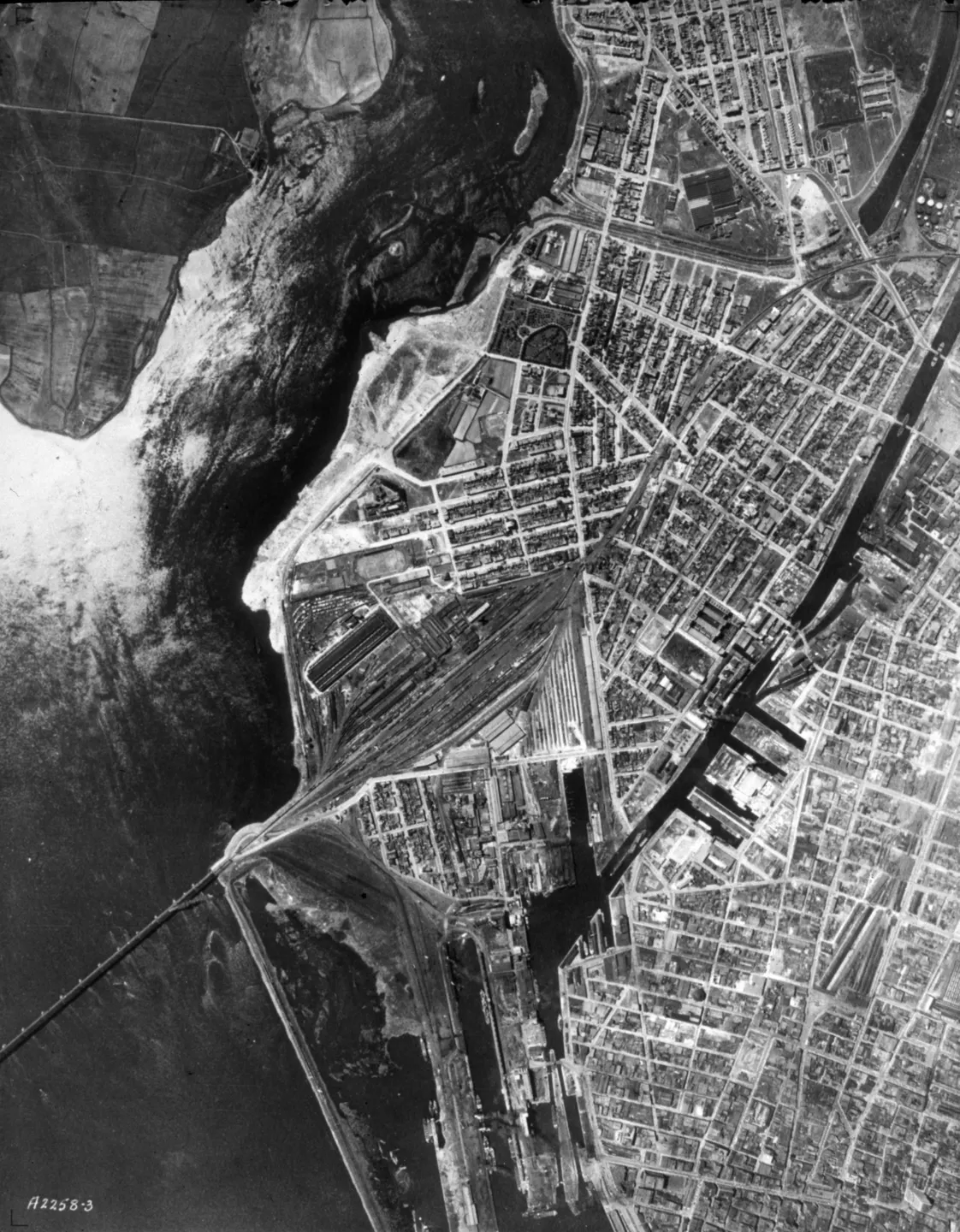
Aerial view of the Montreal port, showing streets, buildings and waterways in black and white.

1925 · VM97,S3,D01,P030

Montreal port, aerial view, 1925–1935
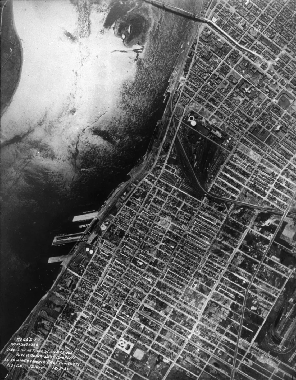
Vertical aerial photograph of a dense street grid along a waterfront pier.

1930 · VM97,S3,D01,P031

Waterfront street grid, Pont Jacques-Cartier, aerial view, 1930
Black‑and‑white photo of a map of Montreal, showing streets and buildings.

1925 · VM97,S3,D01,P036

Map of Montreal, Pont Victoria, aerial view, 1925–1935
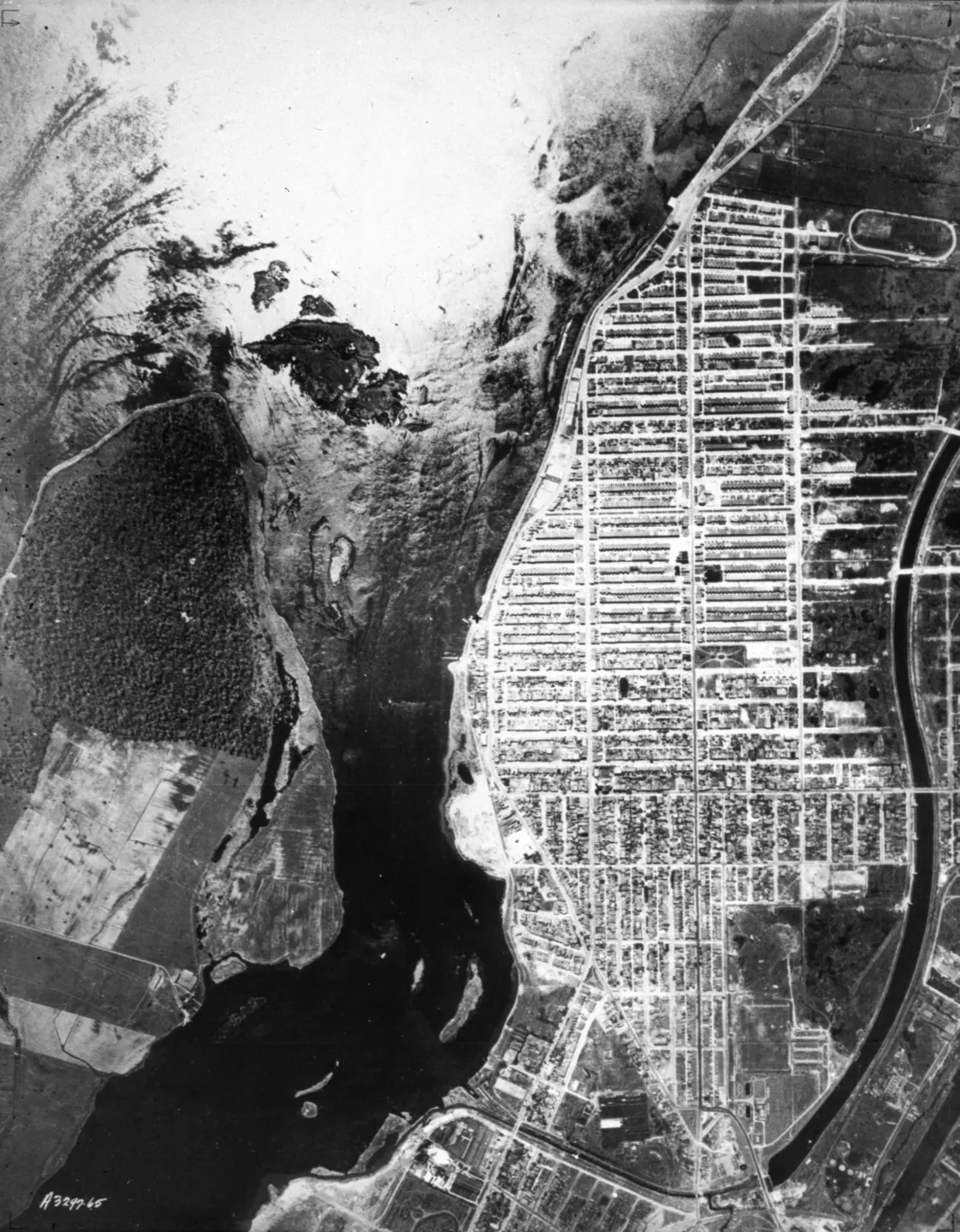
Bridge crossing a body of water in an urban landscape in Verdun

1925 · VM97,S3,D01,P037

Bridge over a body of water, aerial view, 1925–1935
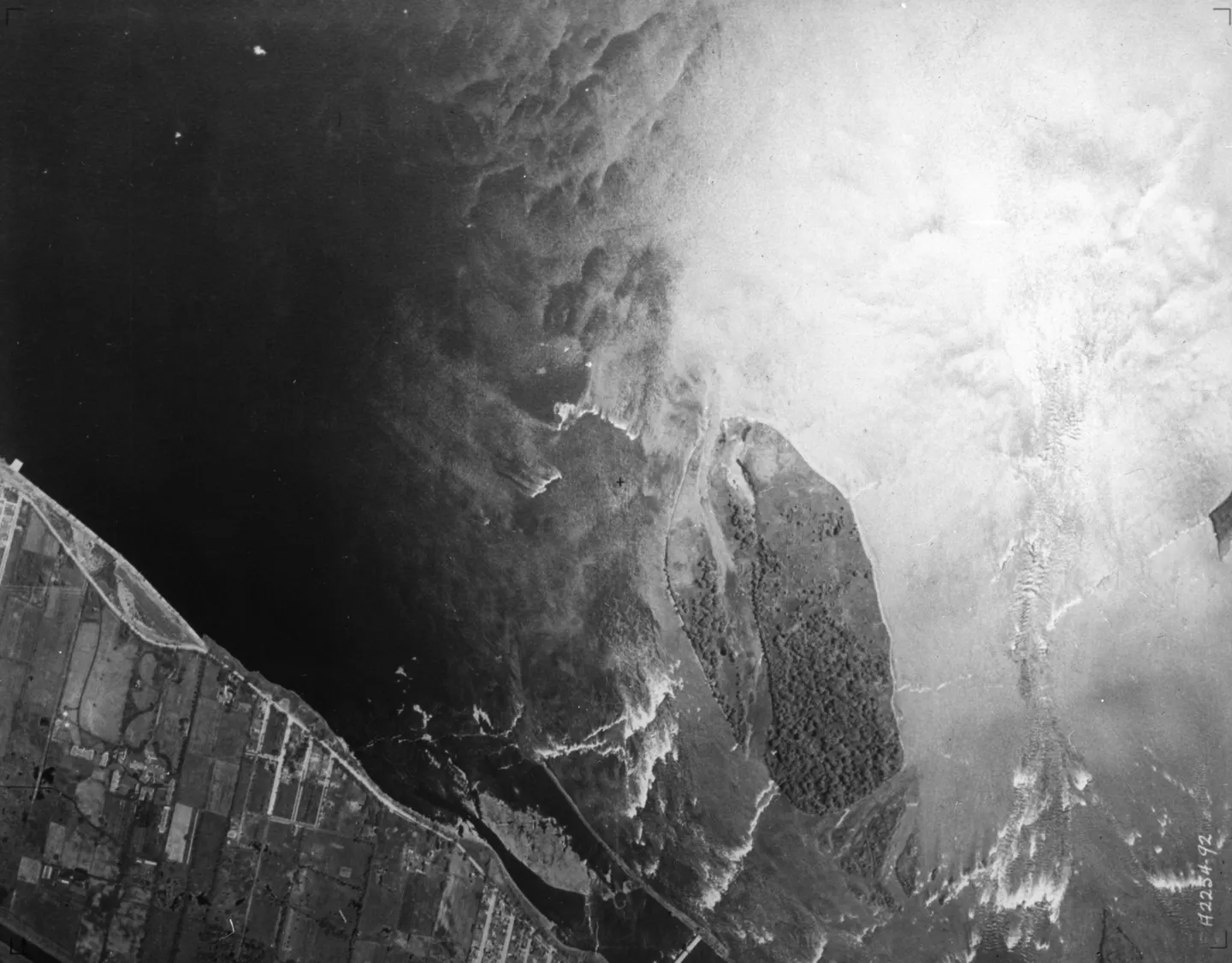
A black‑and‑white aerial photograph of the St. Lawrence River, showing the waterway, a city, and a field.

1925 · VM97,S3,D01,P038

of the St. Lawrence River, aerial view, 1925–1935
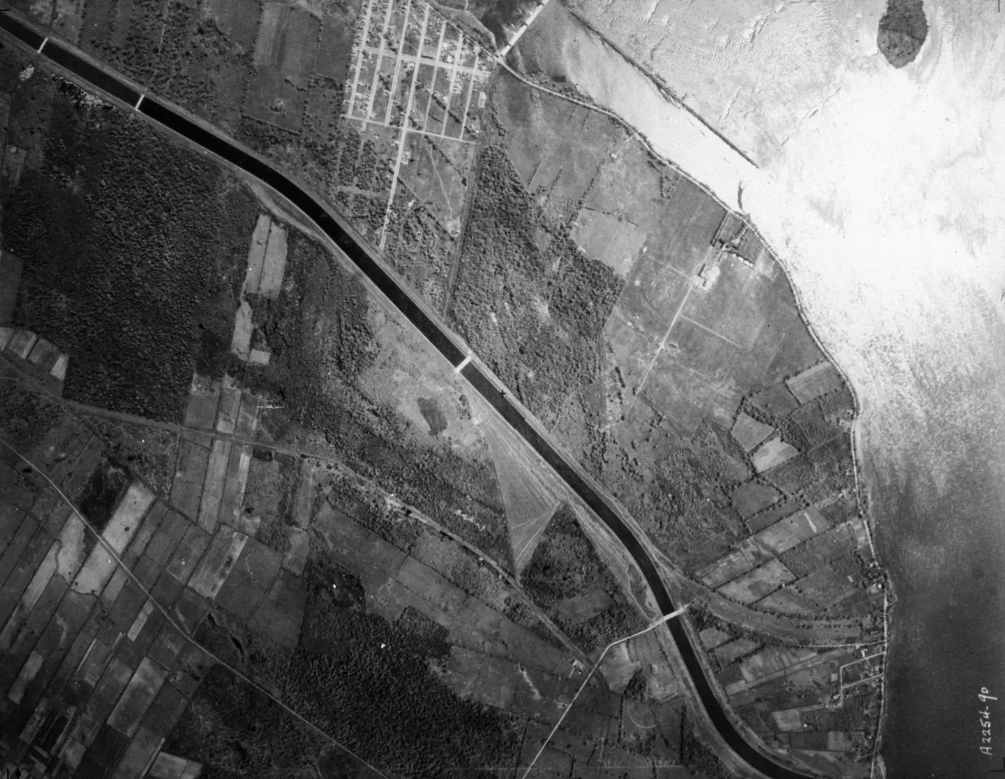
Aerial view of a river, trees, scattered buildings

1925 · VM97,S3,D01,P039

Rural river with buildings, Boulevard LaSalle, aerial view, 1925–1935
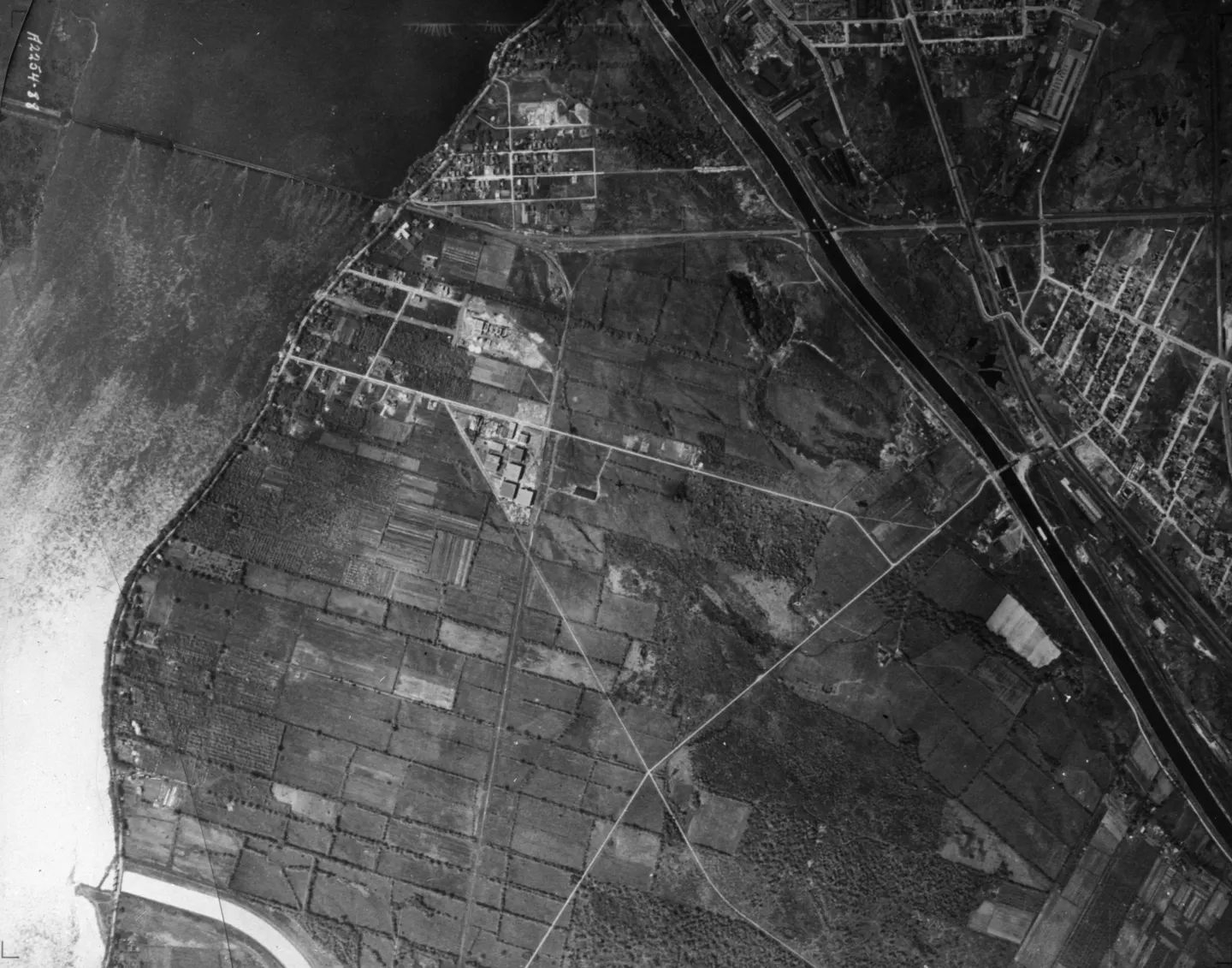
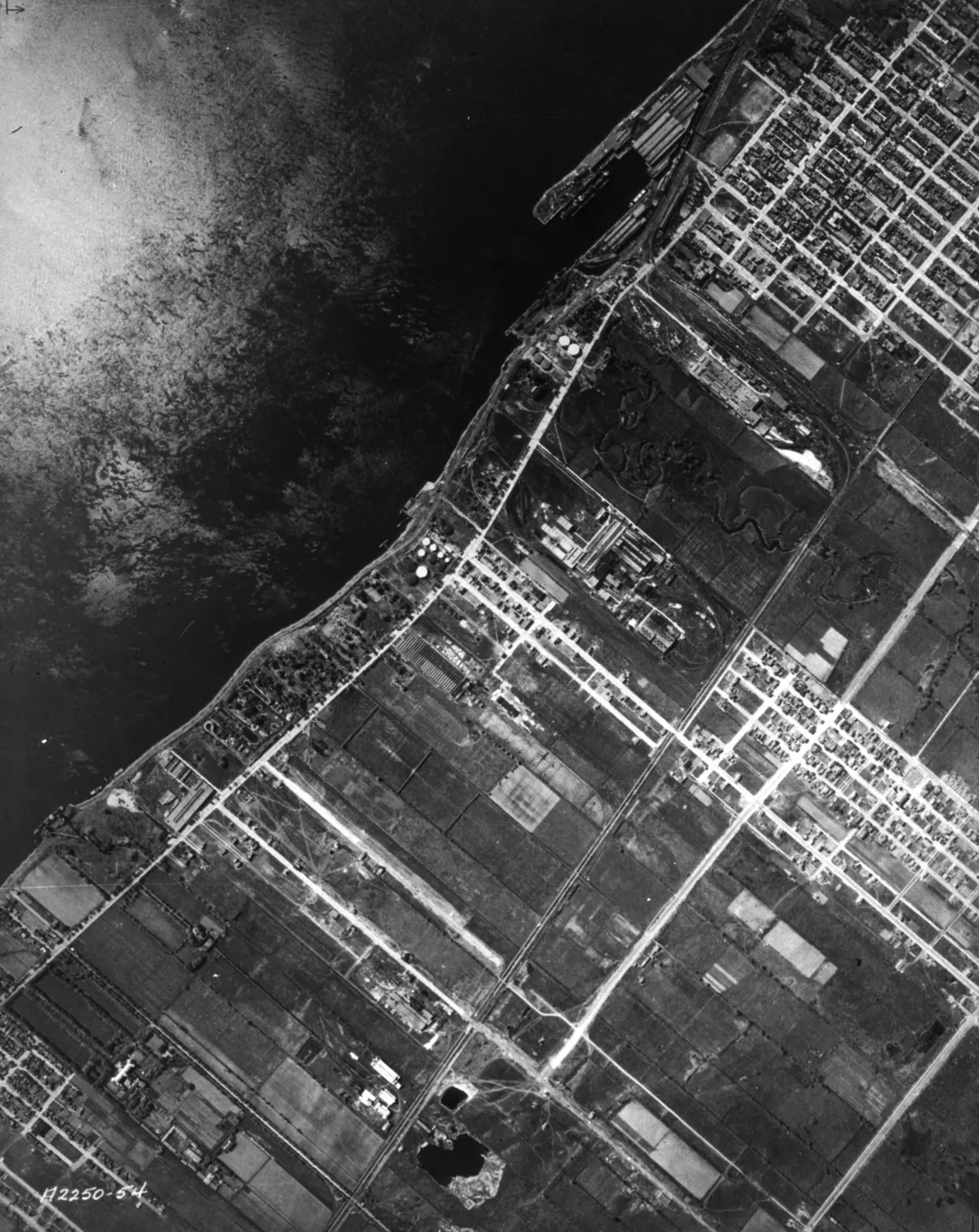
Aerial photograph of coastal fields and roads crossing the land

1925 · VM97,S3,D01,P040

Coastal fields with roads, aerial view, 1925–1935
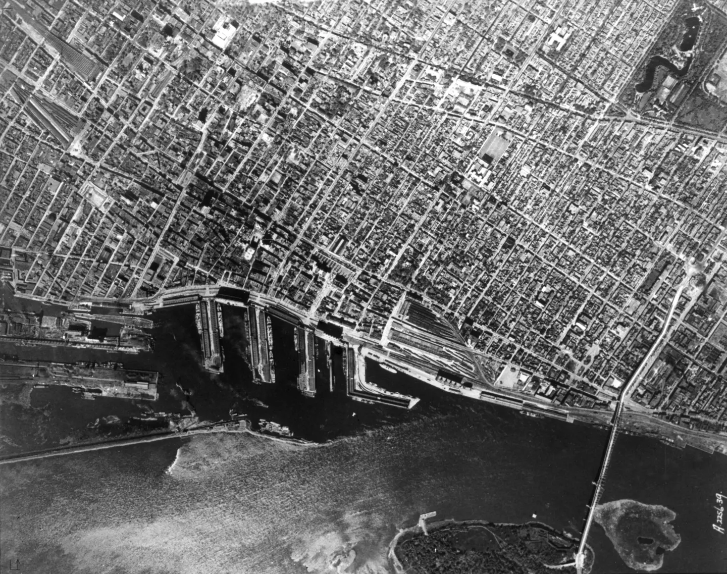
Vertical aerial view of dense city blocks and harbour piers with a bridge on the right edge

1925 · VM97,S3,D01,P041

City blocks, Pont Jacques-Cartier, aerial view, 1925–1935
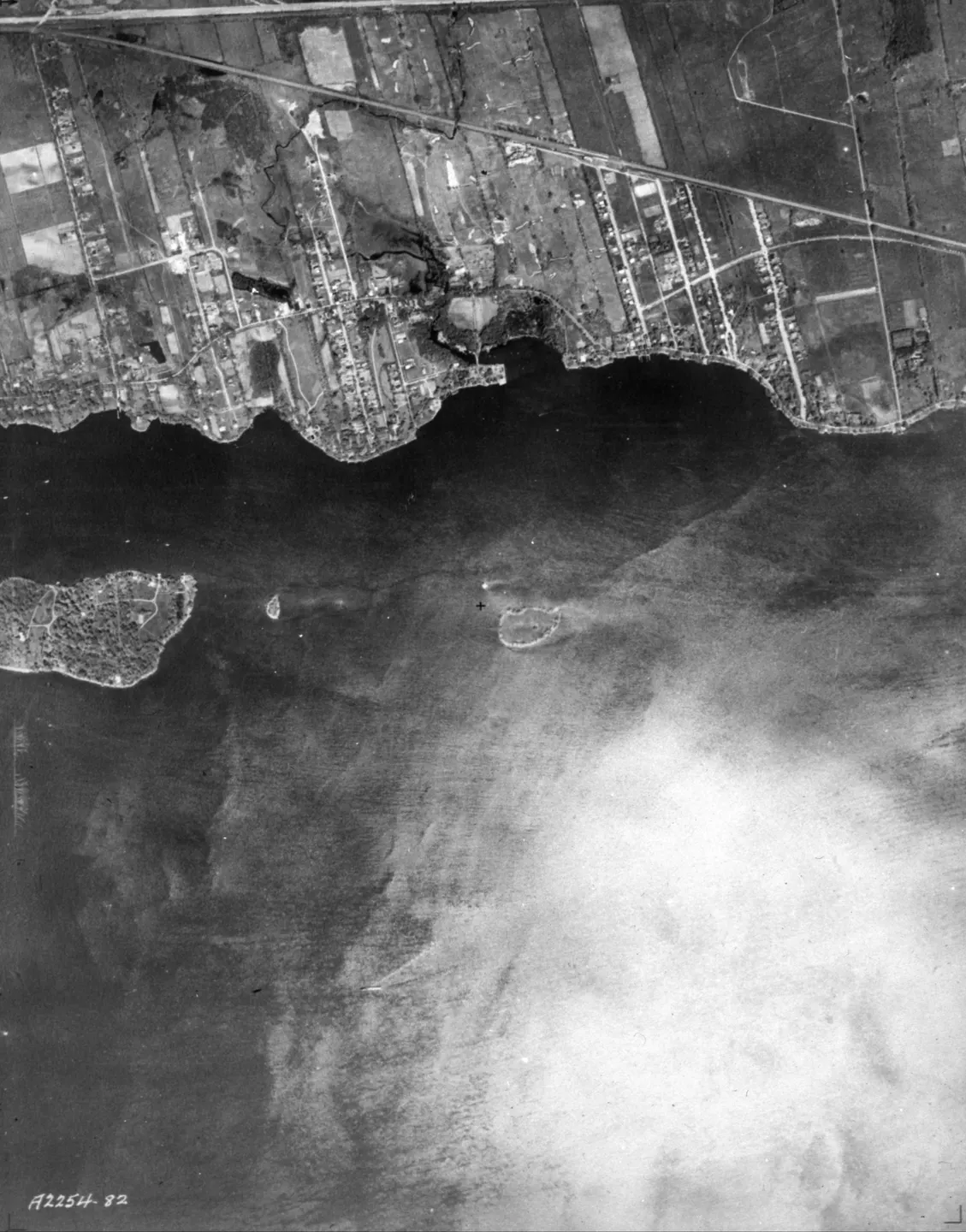
Vertical aerial photo of a Lachine area, showing streets, buildings, and waterways, in black‑and‑white

1925 · VM97,S3,D01,P043

of Lachine 1925, aerial view, 1925–1935
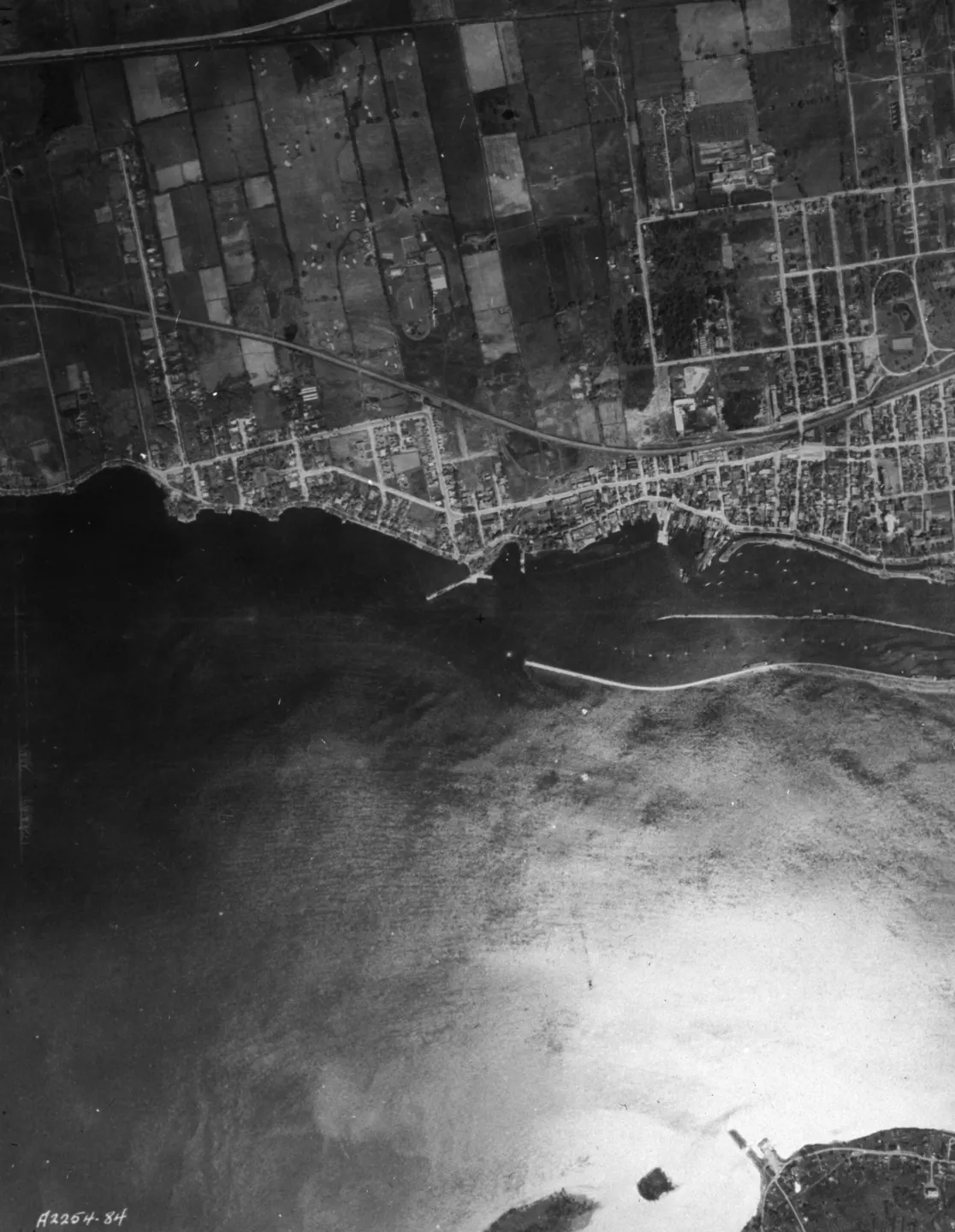
Vertical aerial photograph of a shoreline with fields, street grid and large body of water

1925 · VM97,S3,D01,P044

Shoreline with fields and grid, Rue Victoria, aerial view, 1925–1935
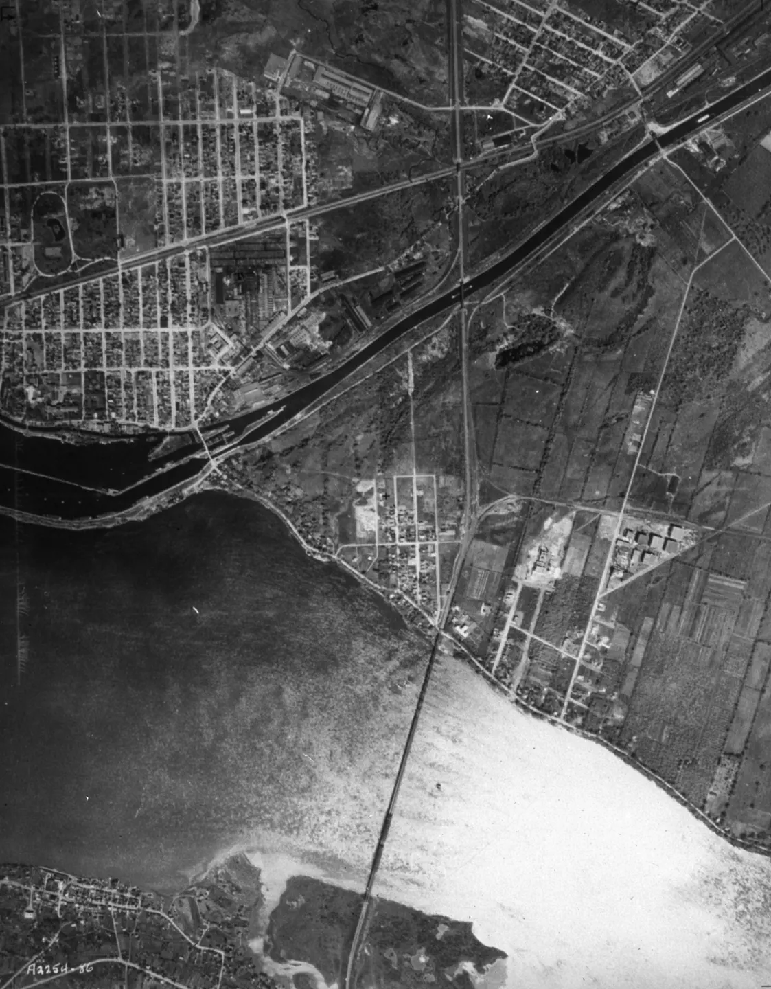
Bridge crossing a wide river, beside shoreline roads, fields and a street grid.

1925 · VM97,S3,D01,P045

Bridge over river with shoreline roads, aerial view, 1925–1935
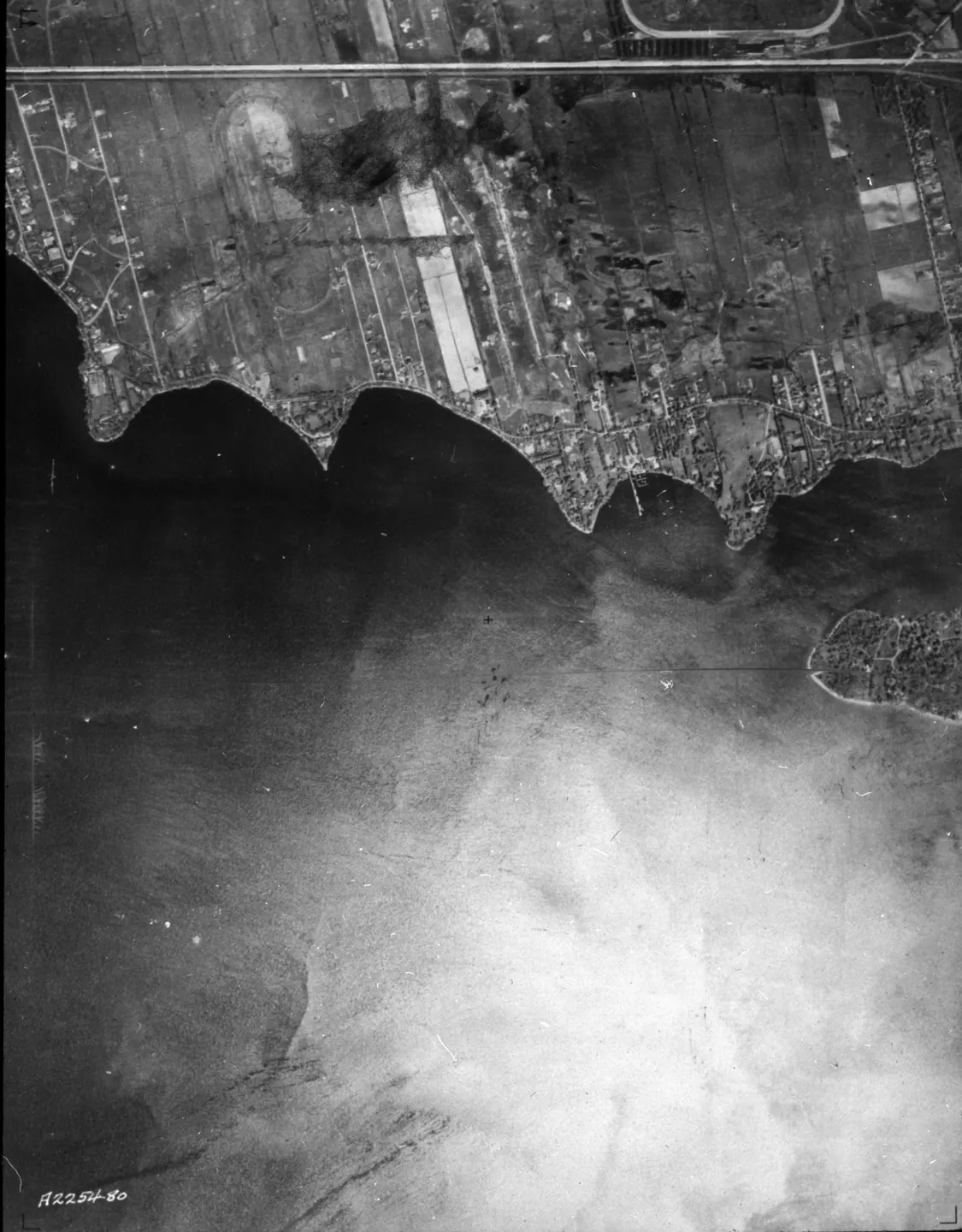
Black‑and‑white aerial view of Montreal, buildings, streets, parks

1925 · VM97,S3,D01,P087

of Montreal, aerial view, 1925–1935
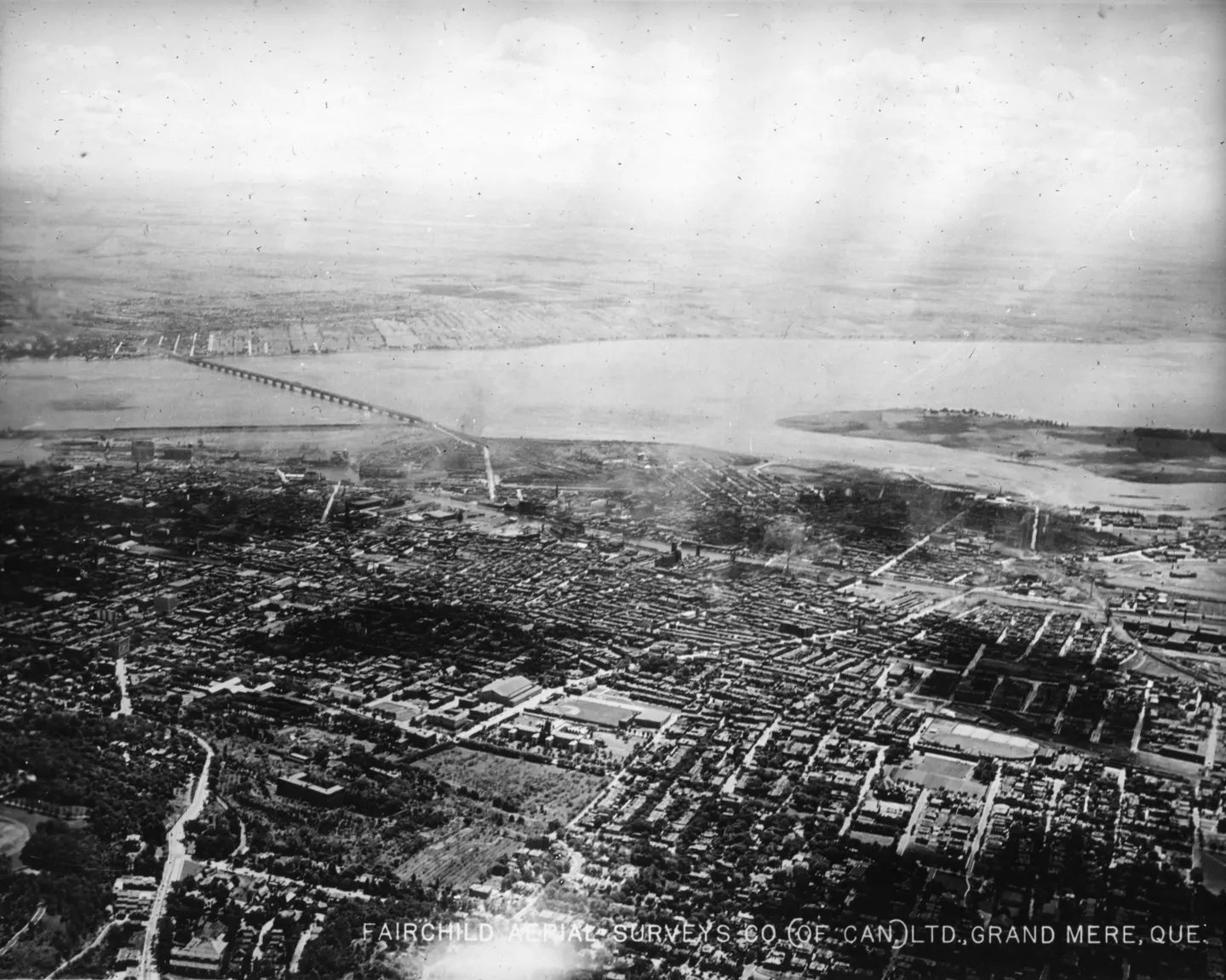
Aerial photo of dense city blocks, wide body of water, bridges visible

1925 · VM97,S3,D01,P012

Urban buildings and bridges, Pont Victoria, aerial view, 1925
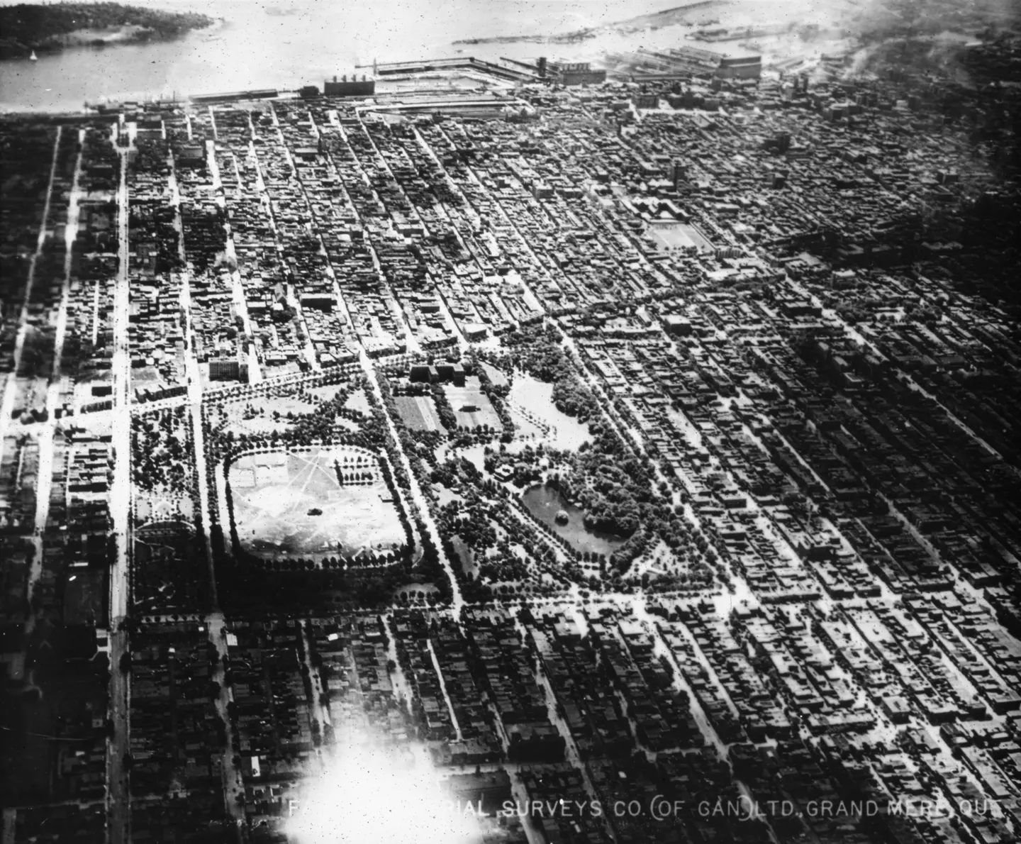
Aerial photo of a dense street grid, buildings, rectangular open grounds, waterfront facilities

1925 · VM97,S3,D01,P013

Grid of streets and open, Le Plateau-Mont-Royal, aerial view, 1925
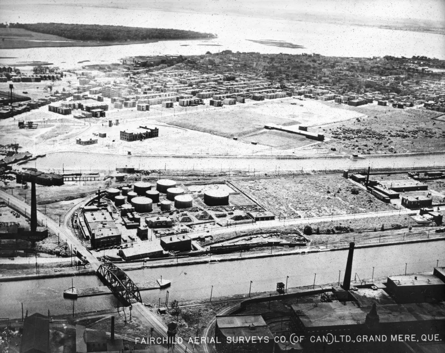
Cylindrical storage, buildings, bridge over narrow waterway, aerial view

1925 · VM97,S3,D01,P014

Industrial waterfront storage, aerial view, 1925
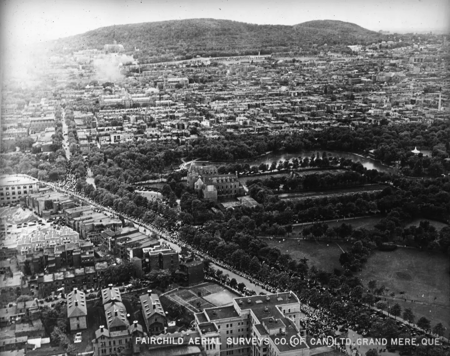
Urban blocks in Rue Sherbrooke with a wooded hill behind

1925 · VM97,S3,D01,P015

Urban blocks with wooded hill, Rue Sherbrooke, aerial view, 1925
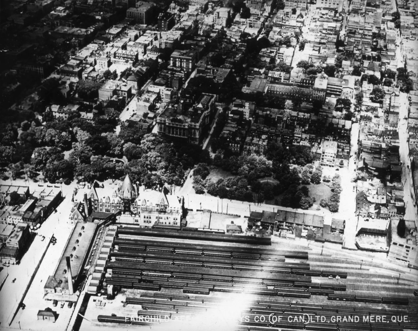
Oblique aerial view of the Viger station area, with buildings and roads

1925 · VM97,S3,D01,P016

of Viger station area, Vieux-Montréal, aerial view, 1925
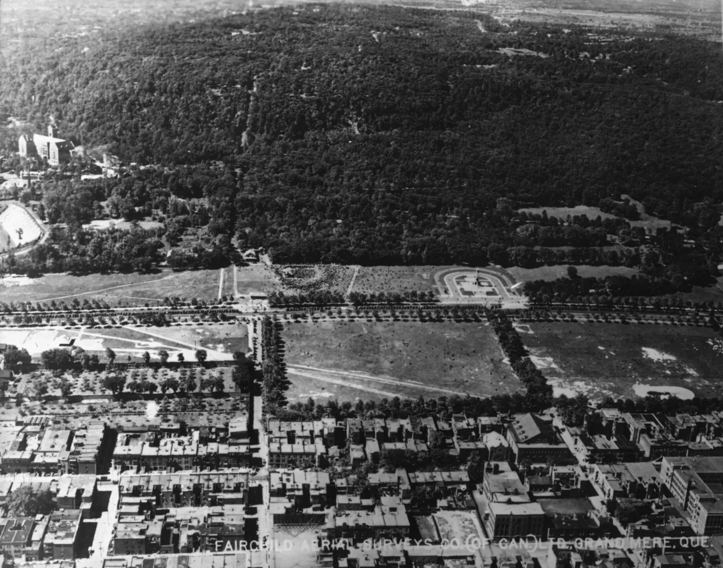
Rectangular field, city blocks, densely wooded hillside

1925 · VM97,S3,D01,P017

Rectangular field and urban, Le Plateau-Mont-Royal, aerial view, 1925
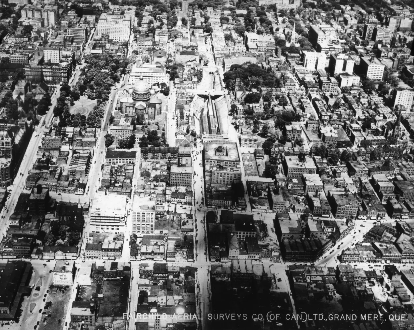
Straight streets and institutional buildings, aerial view

1925 · VM97,S3,D01,P018

Dense urban neighborhood, aerial view, 1925
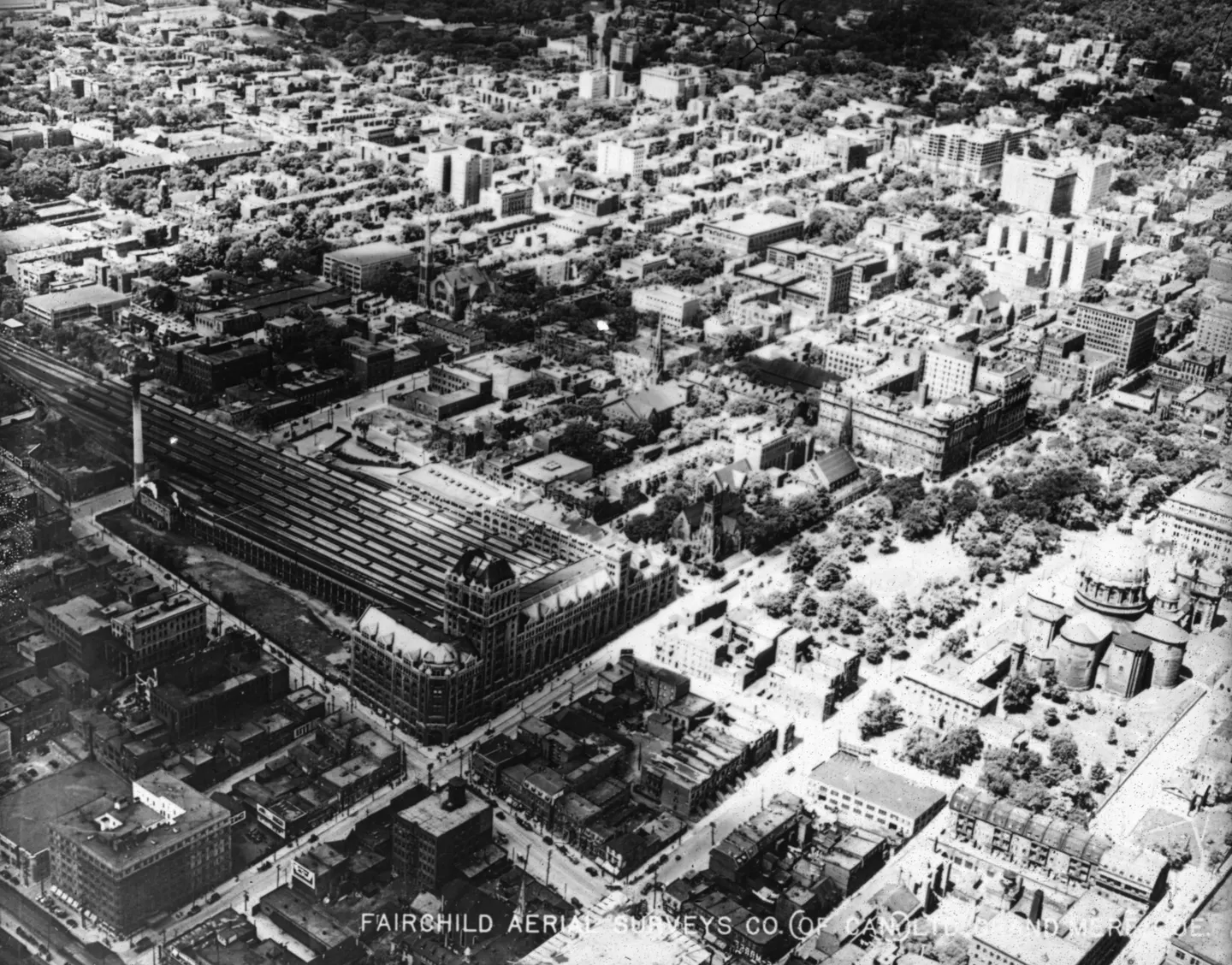
Large complex surrounded by tightly packed city blocks

1925 · VM97,S3,D01,P020

Building complex, aerial view, 1925
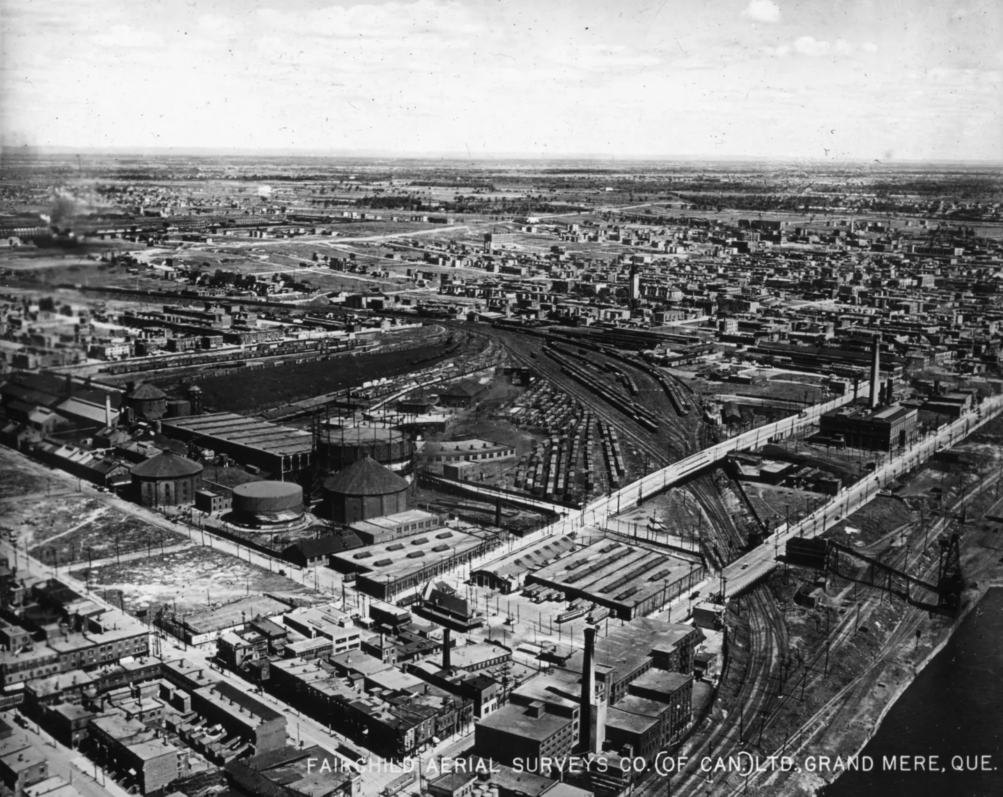
Aerial photograph of an industrial district with railway tracks, large buildings, roads and bridges.

1925 · VM97,S3,D01,P021

Industrial district aerial, aerial view, 1925
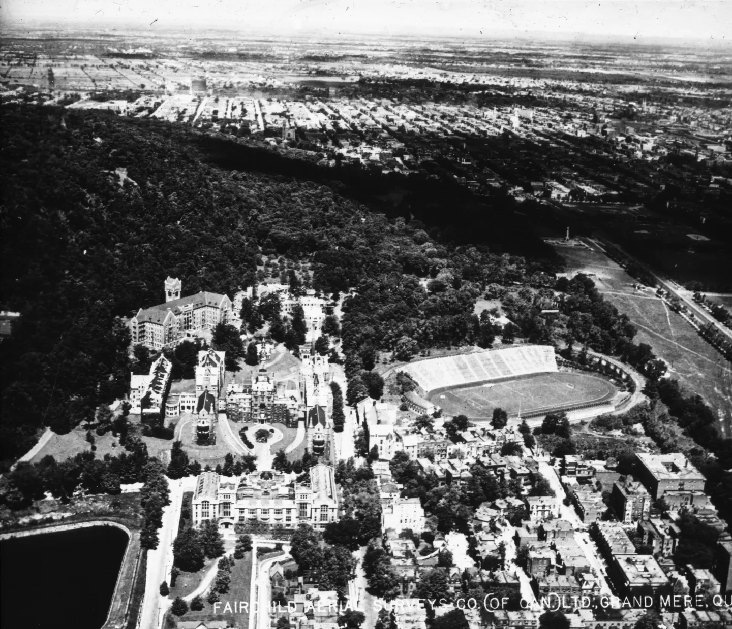
Oblique aerial view of a building with a clock tower, park and street, 1925

1925 · VM97,S3,D01,P023

Building with clock tower, aerial view, 1925
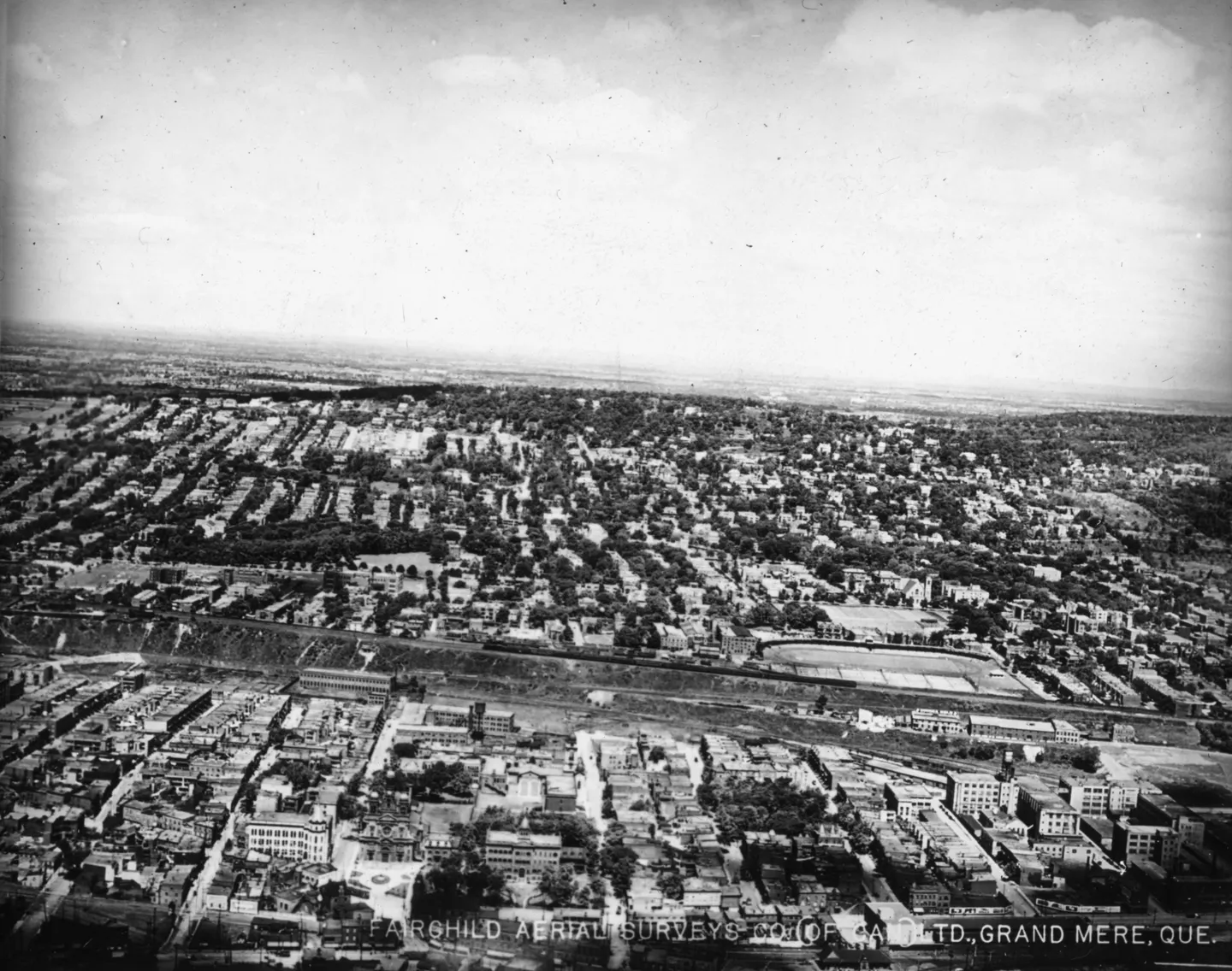
Aerial photo of dense city blocks divided by a broad railway corridor

1925 · VM97,S3,D01,P024

City blocks divided by railway, aerial view, 1925
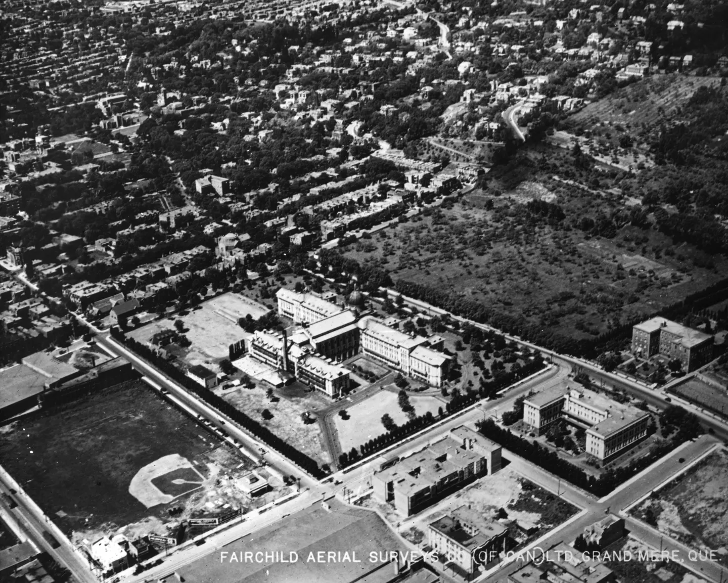
Aerial view of a city with a baseball field in the foreground.

1925 · VM97,S3,D01,P025

Aerial baseball field, aerial view, 1925
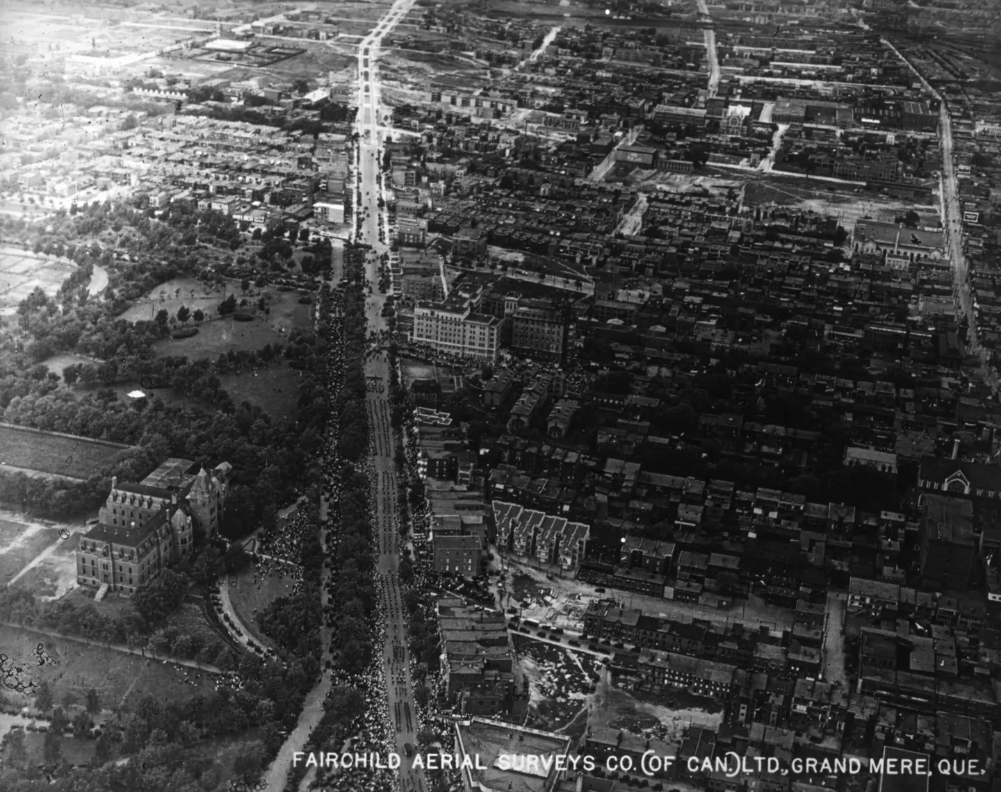
Black‑and‑white aerial photo of a straight street lined with dense buildings

1925 · VM97,S3,D01,P026

Sherbrooke Street, Rue Sherbrooke, aerial view, 1925
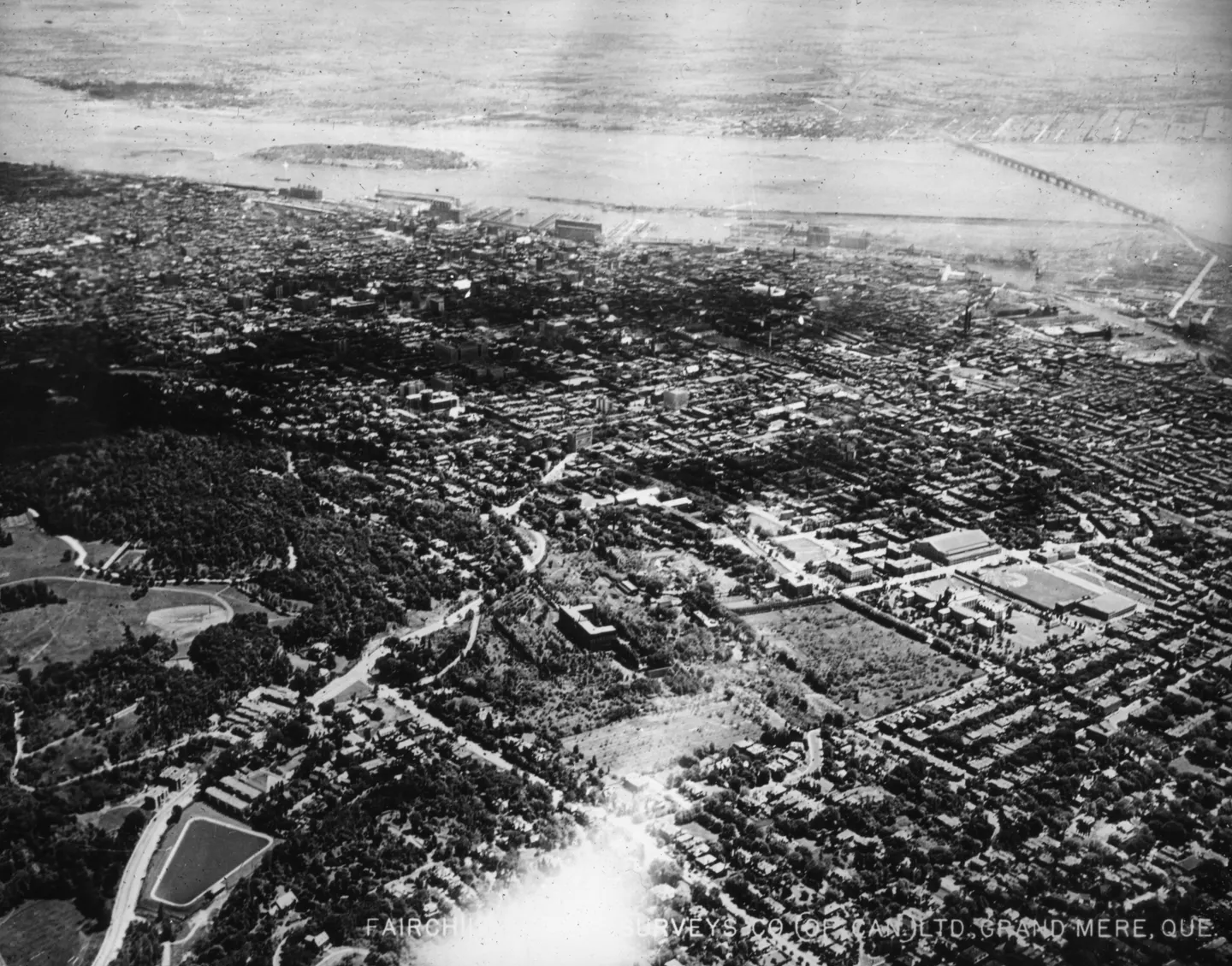
Aerial photo of dense urban blocks, wooded grounds, river, bridge

1925 · VM97,S3,D01,P027

Urban buildings and bridge, Pont Victoria, aerial view, 1925
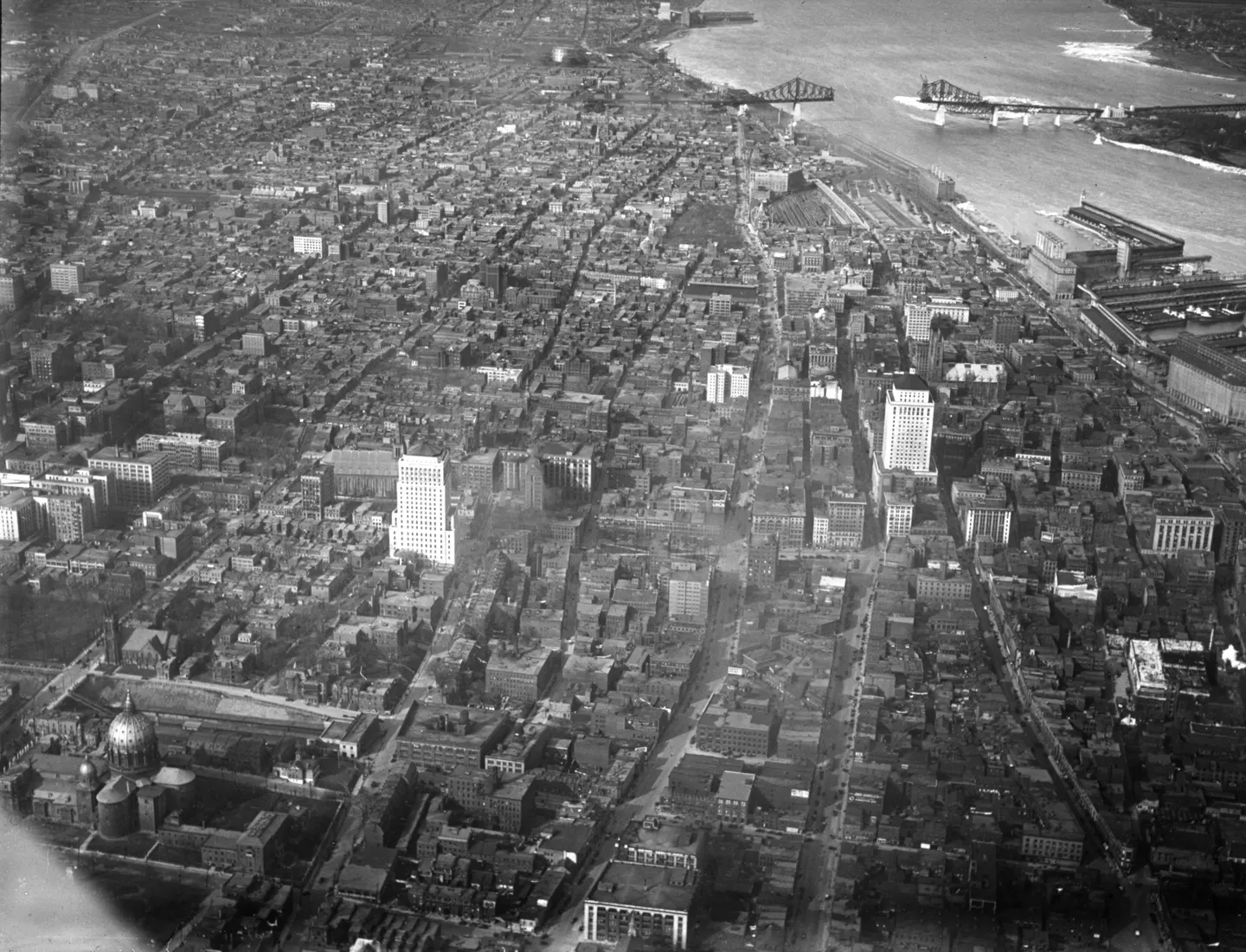
Pont Jacques-Cartier spanning a large body of water, with buildings in the background

1929 · VM97,S3,D01,P028

Pont Jacques-Cartier and, aerial view, 1929
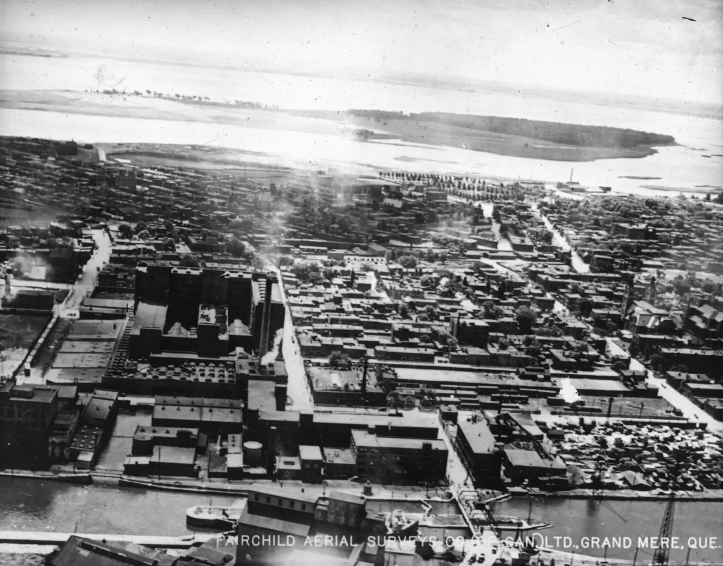
Aerial photo of industrial buildings, straight streets, water and island

1925 · VM97,S3,D01,P029

Industrial buildings and water, aerial view, 1925
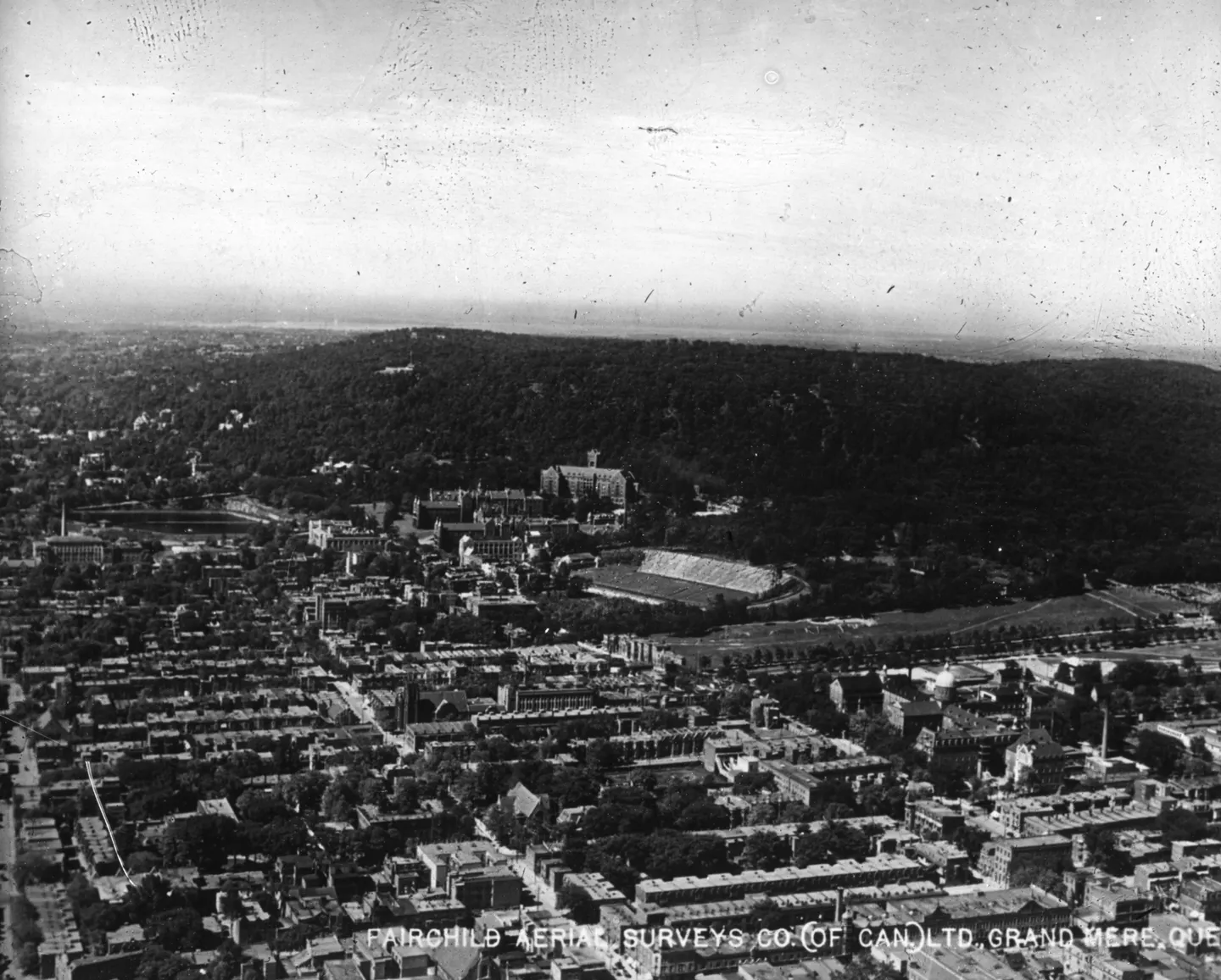
Aerial view of a city with a central building

1925 · VM97,S3,D01,P034

Central building and city, aerial view, 1925
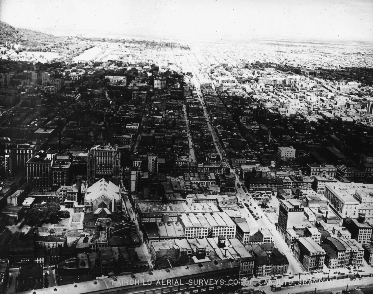
Black‑and‑white aerial photo of a Montreal street with a large building in the foreground.

1925 · VM97,S3,D01,P035

Street with building, Boulevard Saint-Laurent, aerial view, 1925
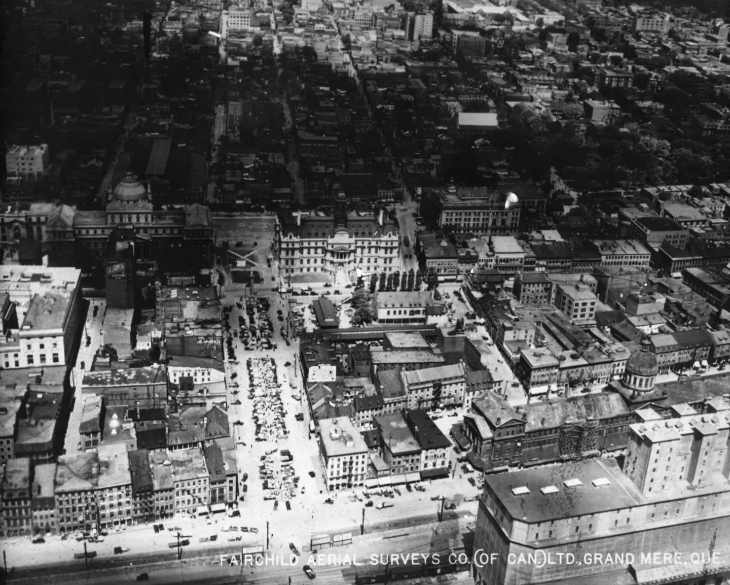
Aerial photo of densely built city blocks, wide street, multi-storey buildings.

1925 · VM97,S3,D01,P042

Place Jacques-Cartier with, aerial view, 1925
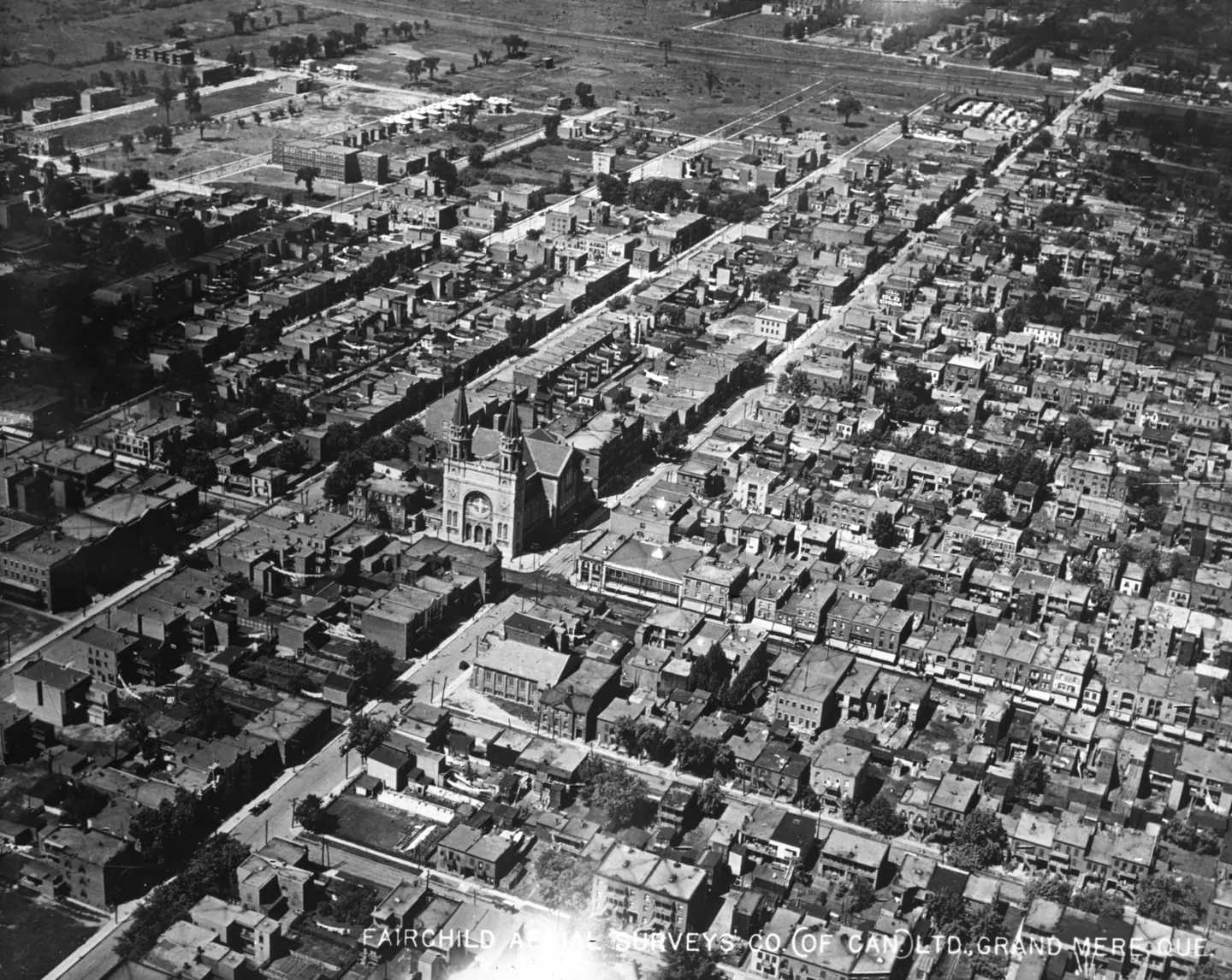
Aerial view of large church with tall tower among closely packed houses and straight streets

1925 · VM97,S3,D01,P050

Church with tower, aerial view, 1925
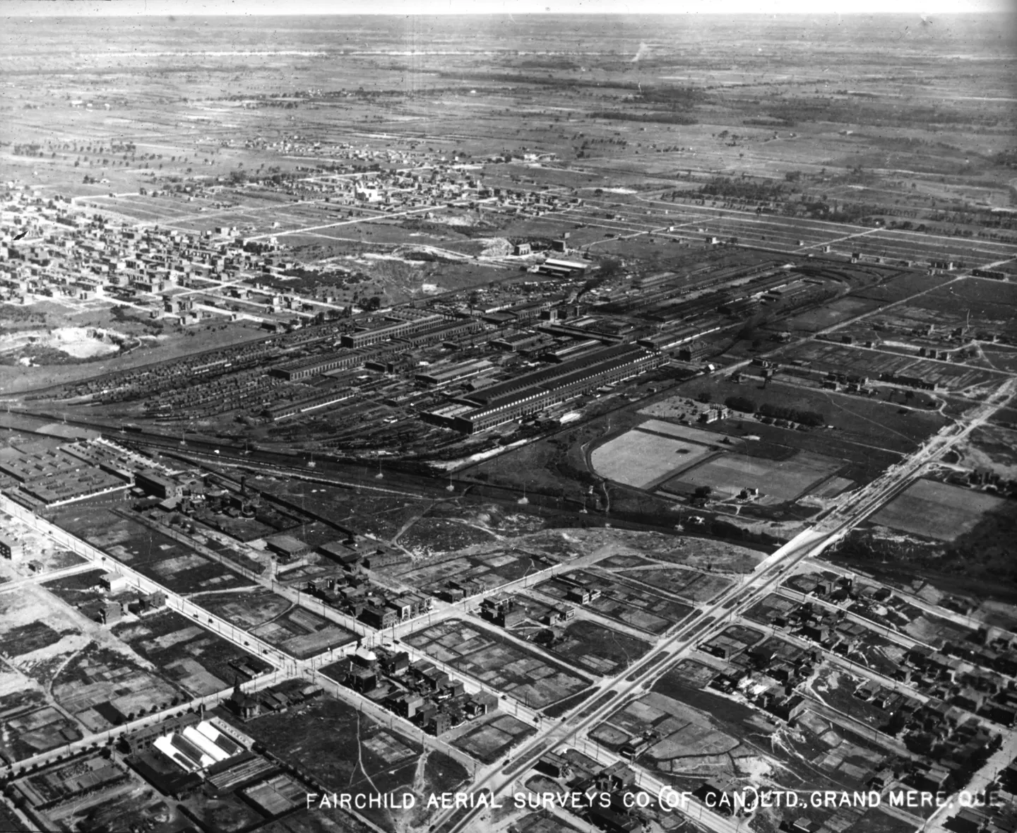
Street, buildings, parked cars, aerial view

1925 · VM97,S3,D01,P051

Aerial street with buildings, aerial view, 1925
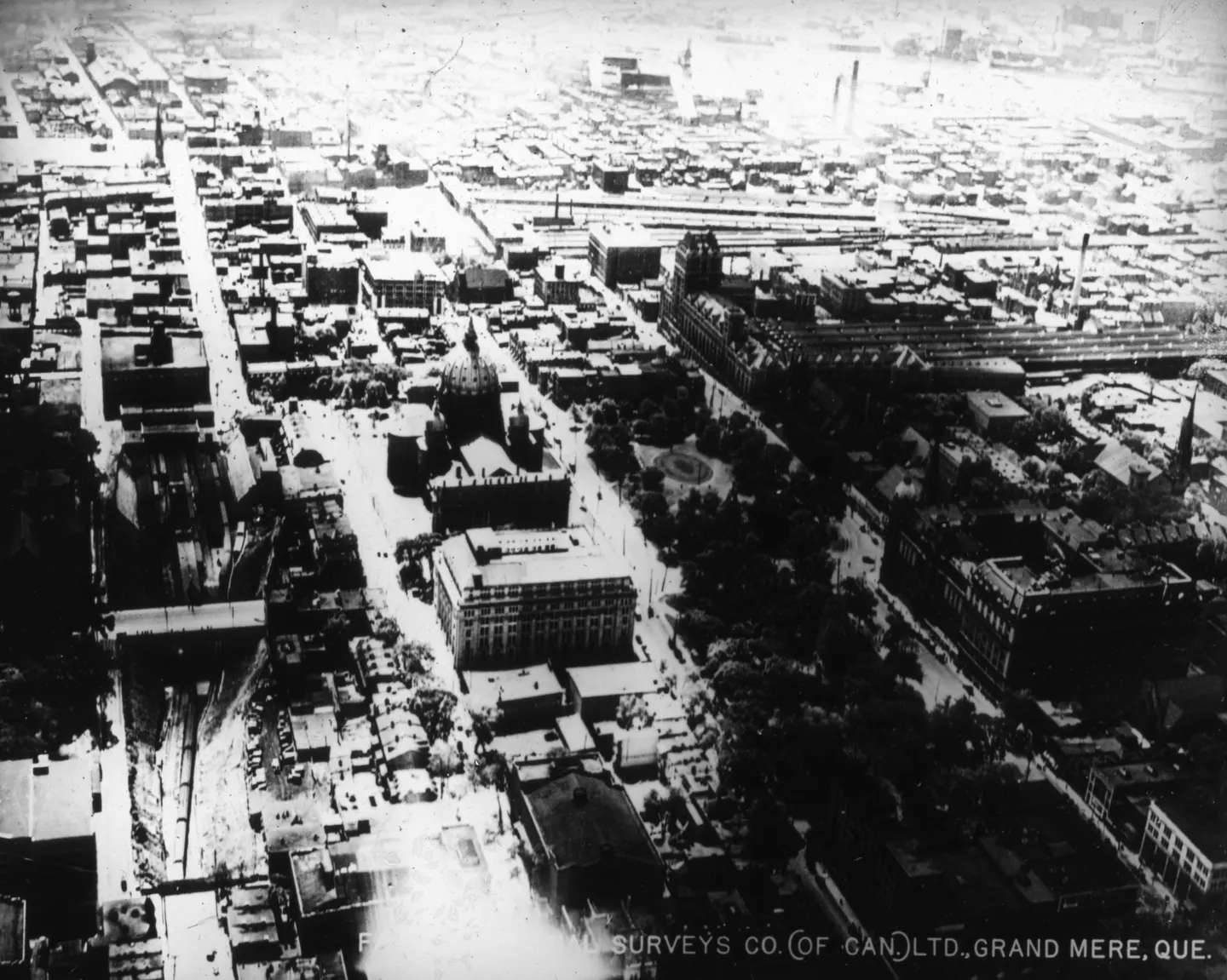
A dense urban neighborhood with large buildings, straight streets, and tree-lined grounds.

1925 · VM97,S3,D01,P052

Dense urban neighborhood, aerial view, 1925
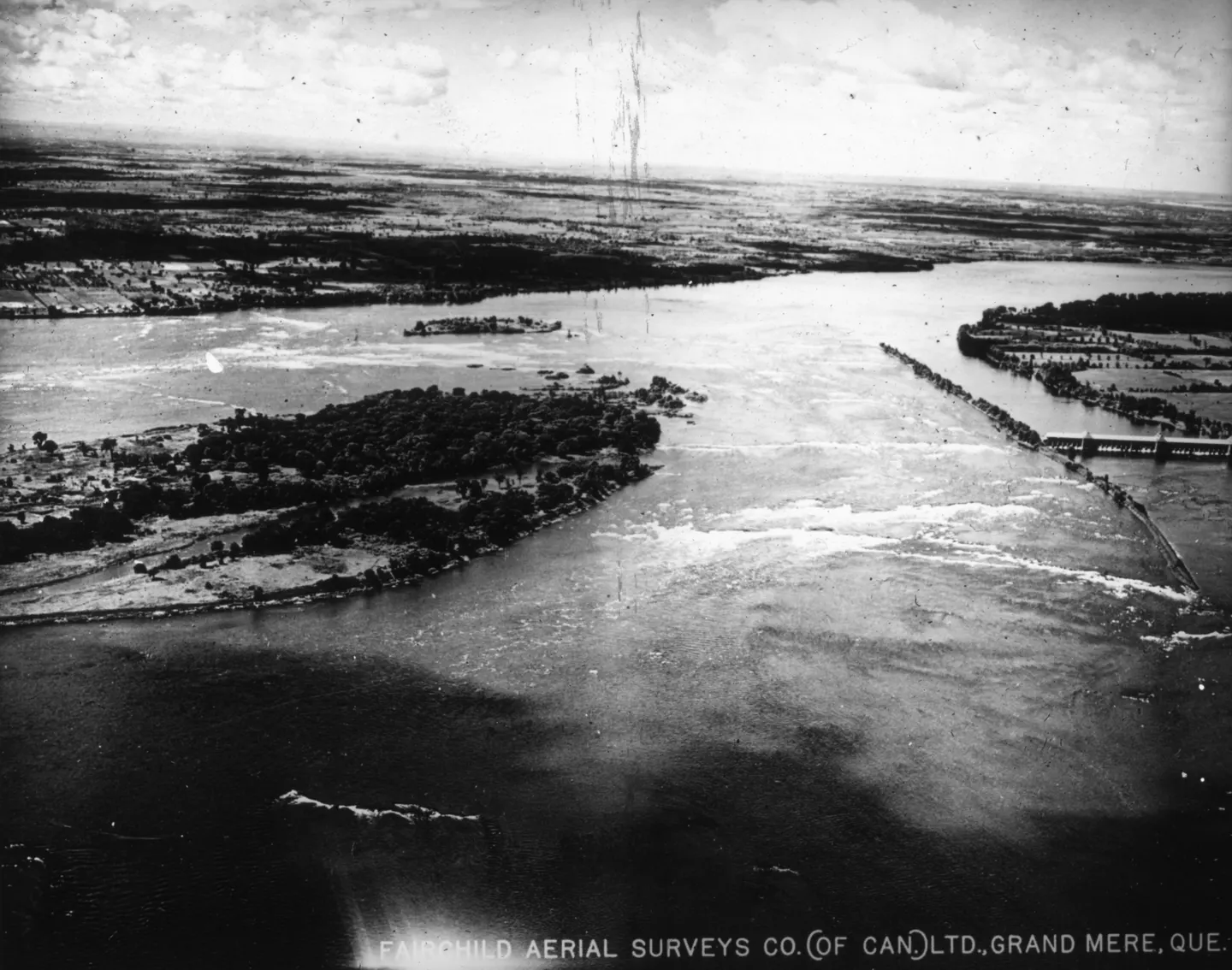
Aerial photo of a wide river, islands, wooded shores, bridges visible on the right

1925 · VM97,S3,D01,P053

River with bridges and islands, aerial view, 1925

View all photographs