
NEIGHBOURHOOD · 54 PHOTOGRAPHS
Mercier-Est
197354 photos · 1947 → 1977
Urban street with cars, Mercier-Est, aerial view, 1973 · VM97,S3,D13,P082 · Photographs: Archives de la Ville de Montréal
Mercier-Est, from above
Part of Promenade Bellerive was built out into the river with construction debris. The fill extended a park officially created in 1964.
Access to the waterfront remained contested: when Montréal proposed a snow-disposal wharf, residents organized against it and Québec’s environment ministry rejected the project. Québec authorized contractors to extend the park with construction waste, excluding debris from the bridge-tunnel; fill also came from other public works projects in Montréal’s east end.
Inland, Parc Thomas-Chapais recalls the former Grove park, named for the shade of its stand of trees. As part of Pierre Tétreault’s development project, a tramway branch was arranged along today’s Rue Des Ormeaux, reaching north of De Grosbois. Thomas-Chapais now provides walking paths, children’s play equipment and an outdoor skating rink. On Rue Hochelaga, Parc Saint-Victor has a picnic area and accessible facilities, including adapted washrooms. Its sports grounds are available for free informal use outside reserved periods.
- Photographs
- 54
- Years
- 11, 1947 → 1977
- From 1947
- 25
- Oblique views
- 15
Mercier-Est in the city
54 PHOTOS
The 54 photographs
1947
25 · vertical photographs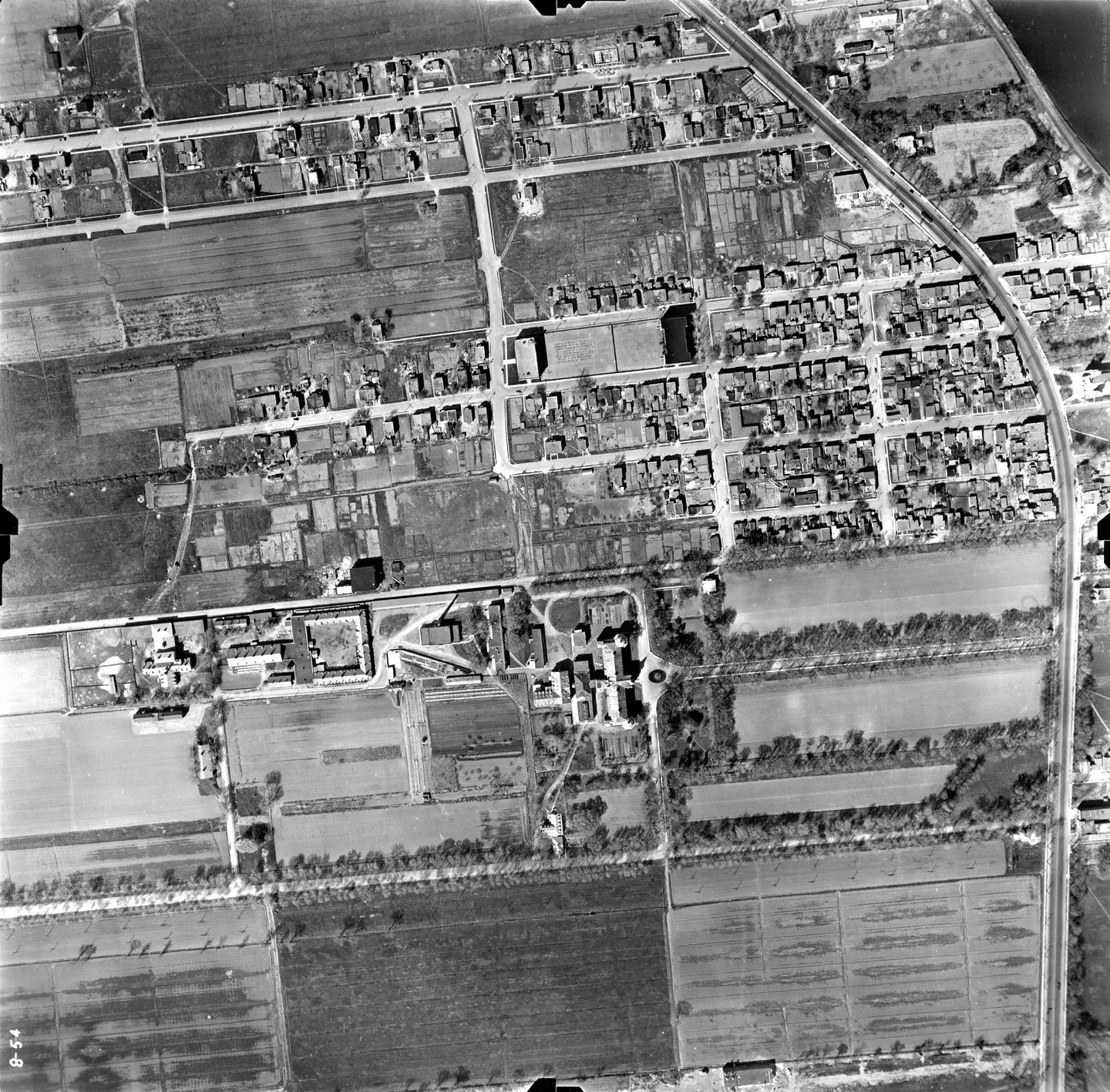
1947 · VM97-3_7P8-54
Street lined with buildings, Mercier-Est, aerial view, 1947
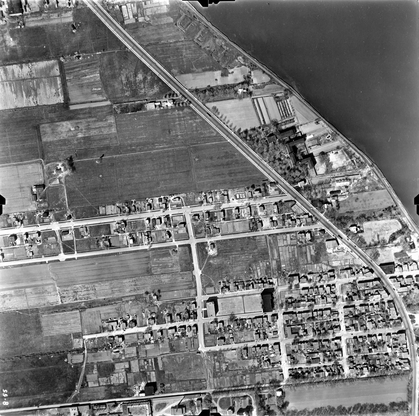
1947 · VM97-3_7P8-55
Street lined with buildings, Mercier-Est, aerial view, 1947
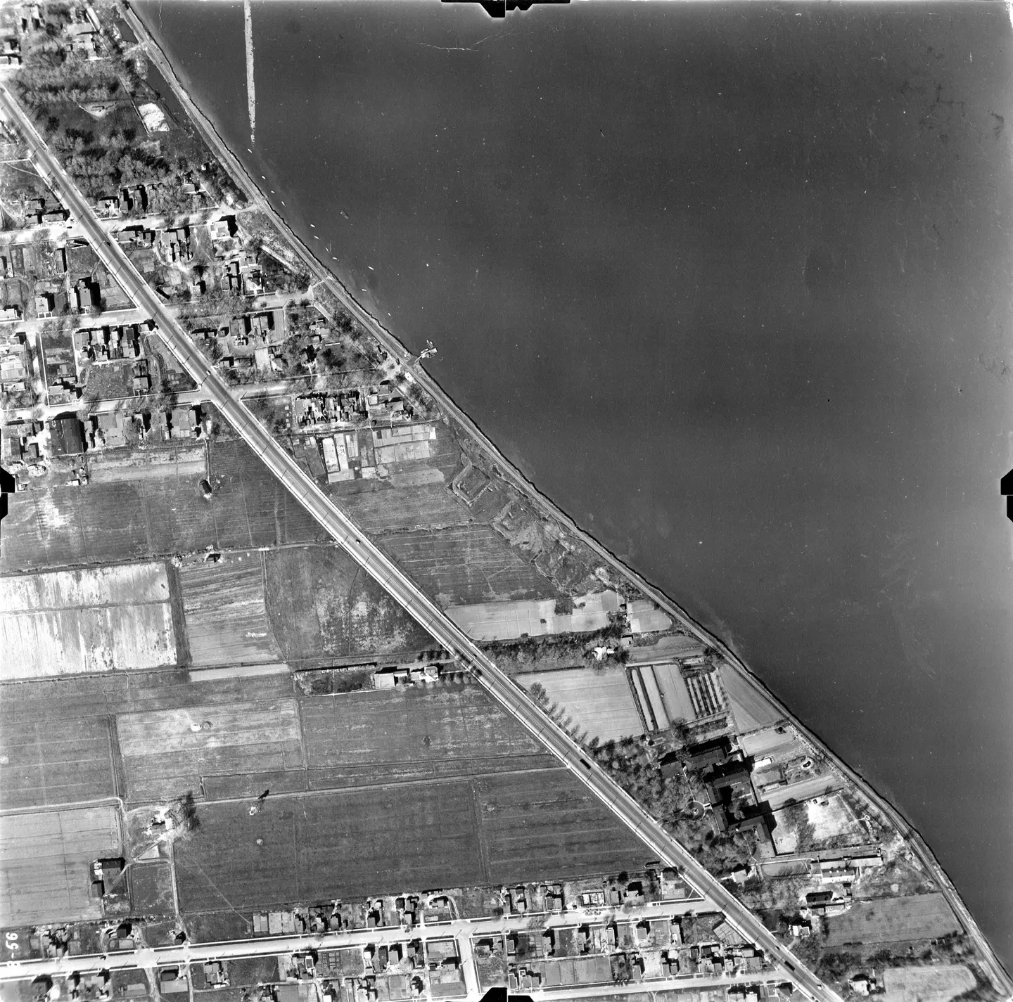
1947 · VM97-3_7P8-56
Street lined with buildings and boat, Mercier-Est, aerial view, 1947
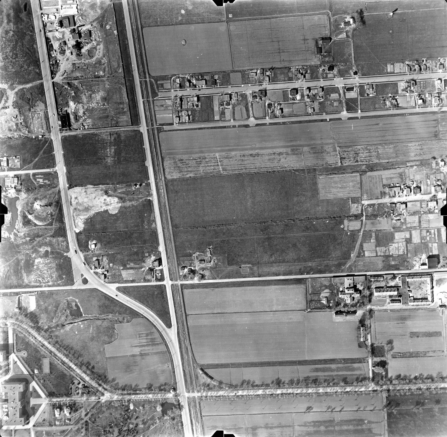
1947 · VM97-3_7P9-53
Street lined with buildings, park and, Mercier-Est, aerial view, 1947
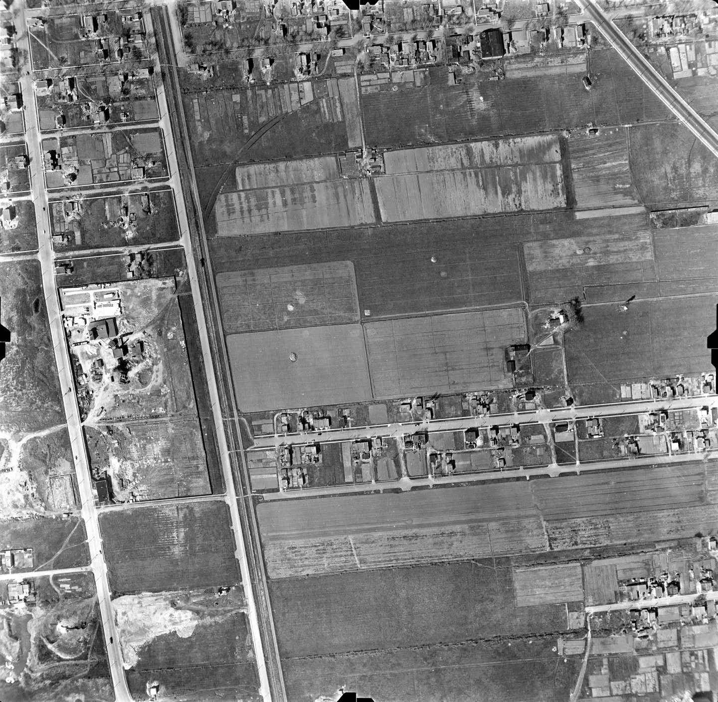
1947 · VM97-3_7P9-54
Street lined with buildings and cars, Mercier-Est, aerial view, 1947
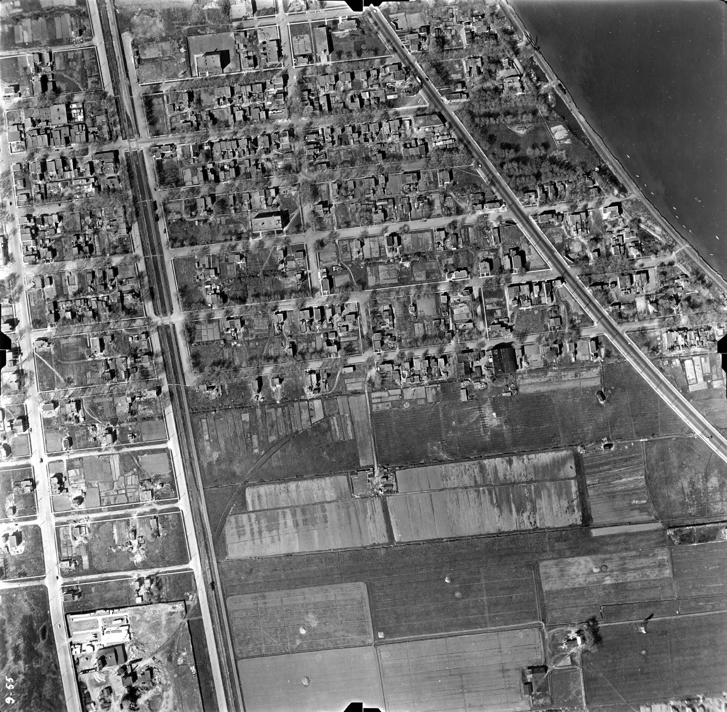
1947 · VM97-3_7P9-55
Street lined with buildings and cars, Mercier-Est, aerial view, 1947
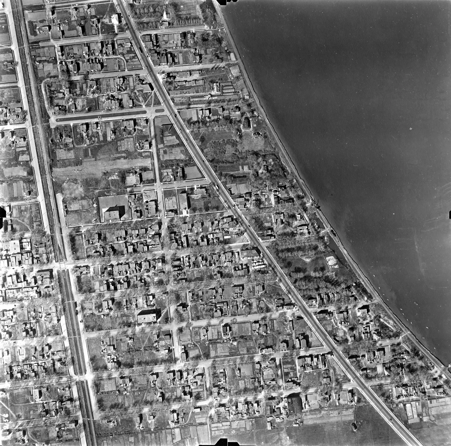
1947 · VM97-3_7P9-56
Street lined with buildings and a, Mercier-Est, aerial view, 1947
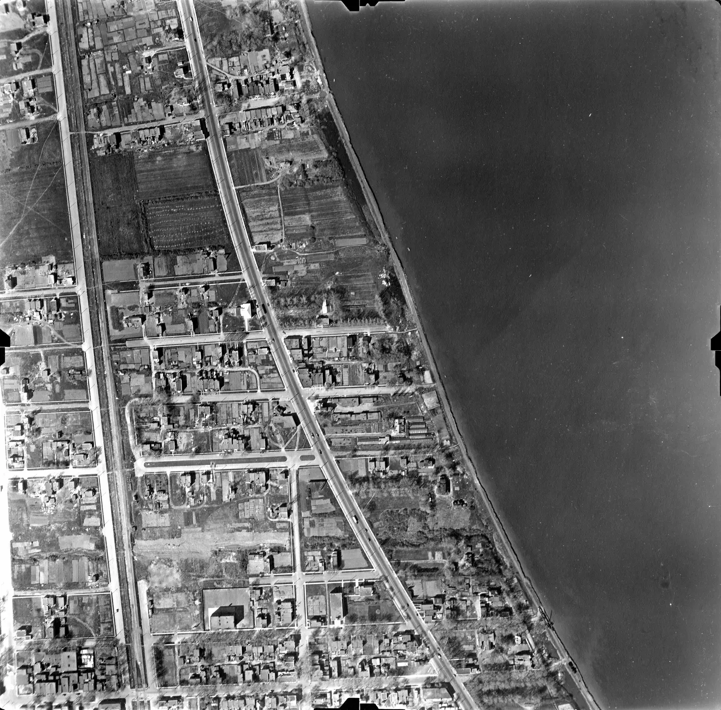
1947 · VM97-3_7P9-57
Street lined with buildings and a park, Mercier-Est, aerial view, 1947
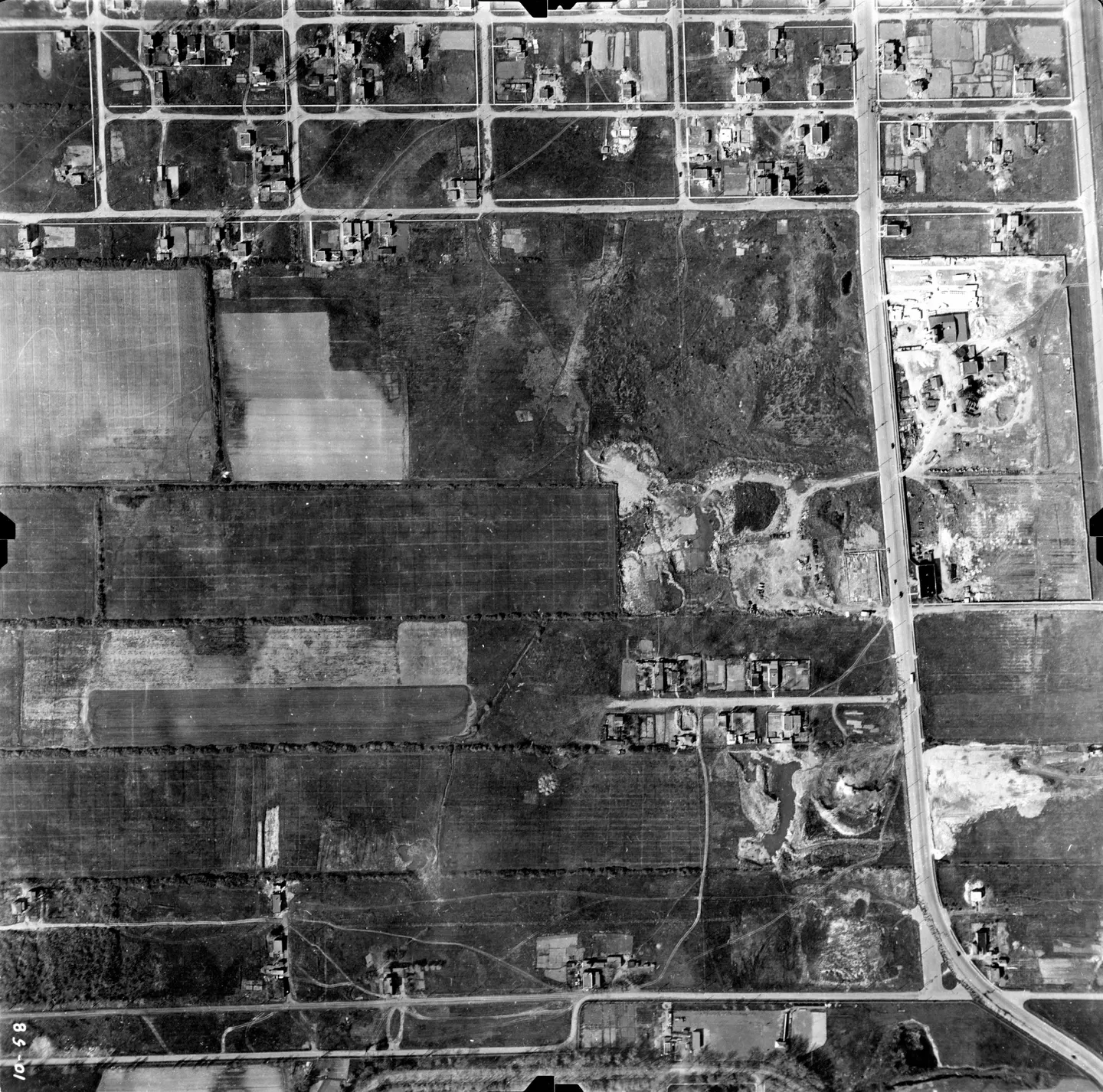
1947 · VM97-3_7P10-58
Street with cars, Mercier-Est, aerial view, 1947
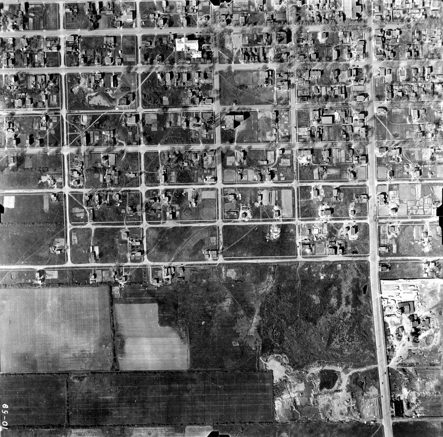
1947 · VM97-3_7P10-59
Street with cars, Mercier-Est, aerial view, 1947
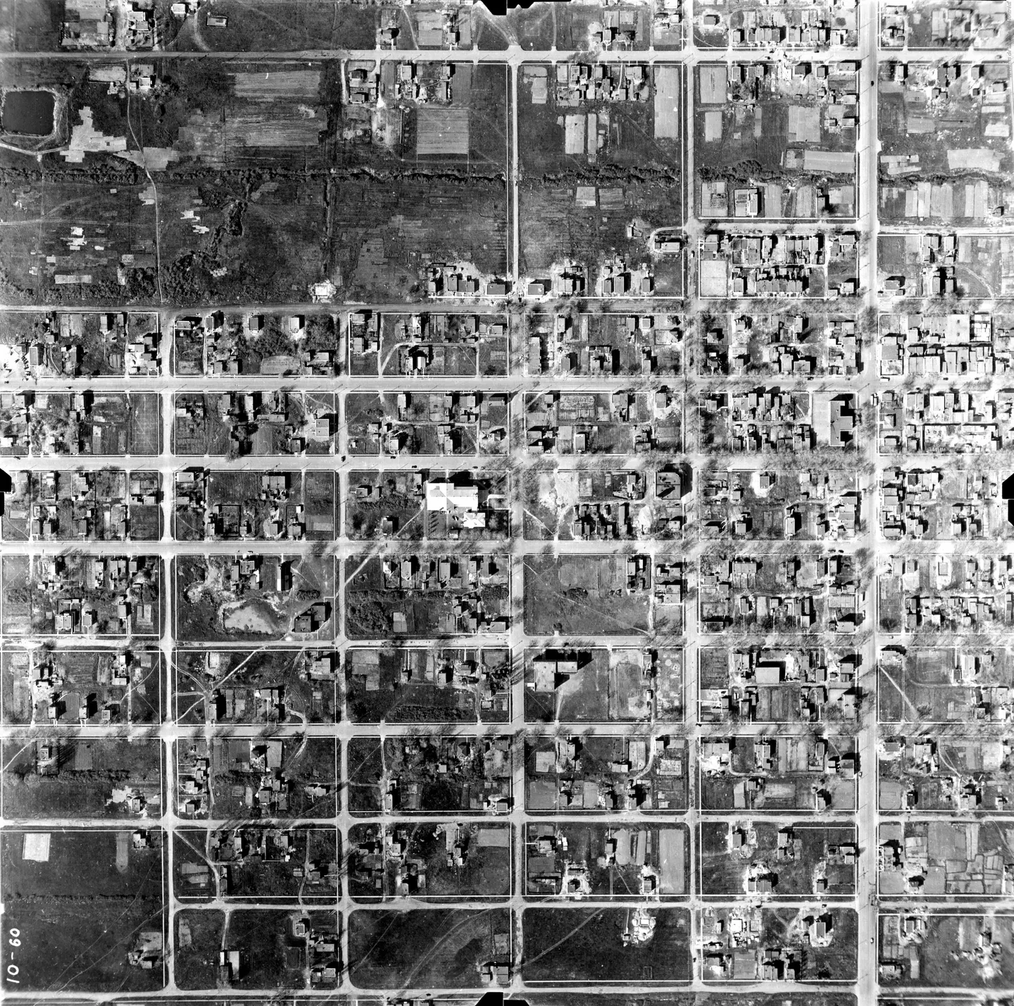
1947 · VM97-3_7P10-60
Street with cars, Mercier-Est, aerial view, 1947
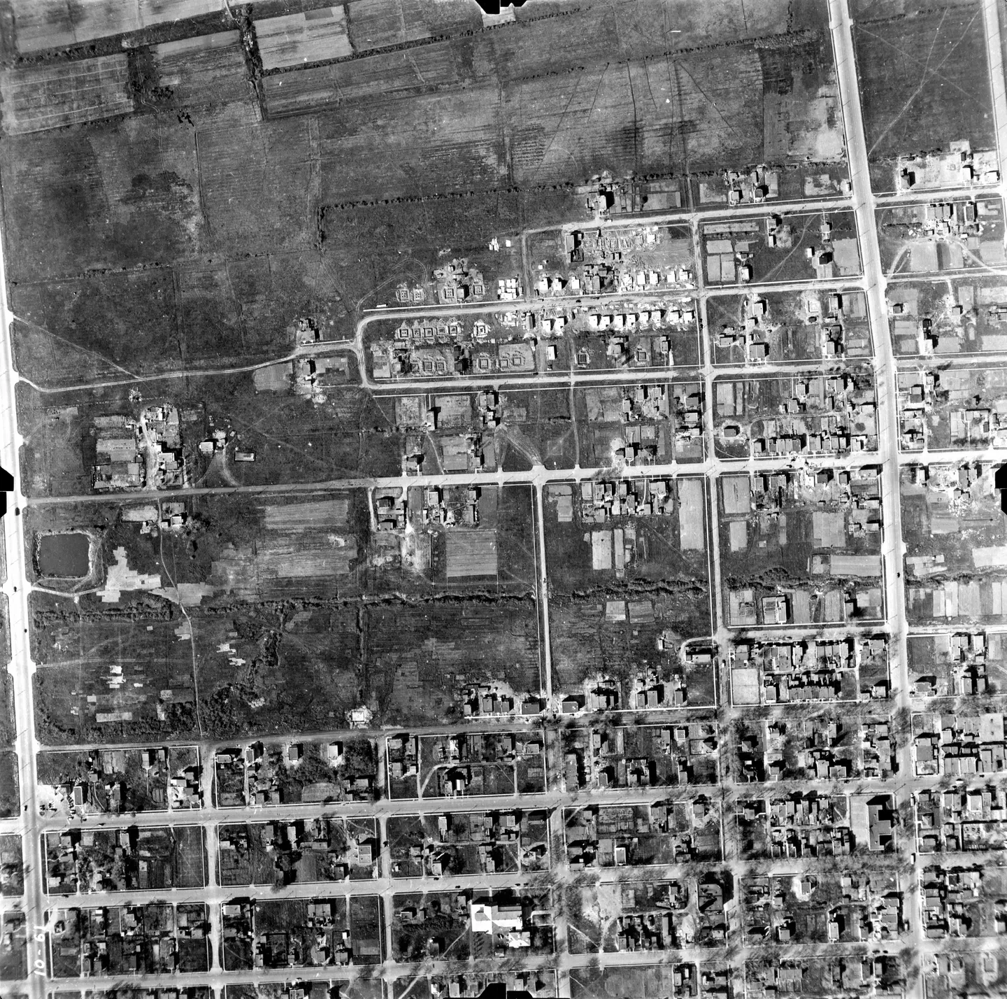
1947 · VM97-3_7P10-61
Street with cars, Mercier-Est, aerial view, 1947
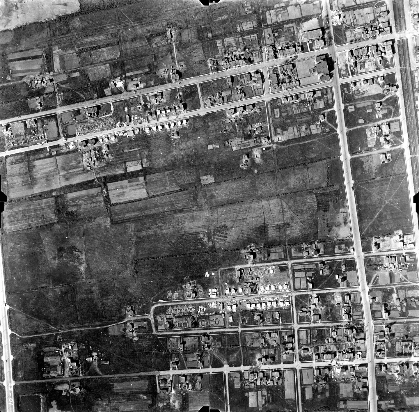
1947 · VM97-3_7P10-62
Street with cars, Mercier-Est, aerial view, 1947
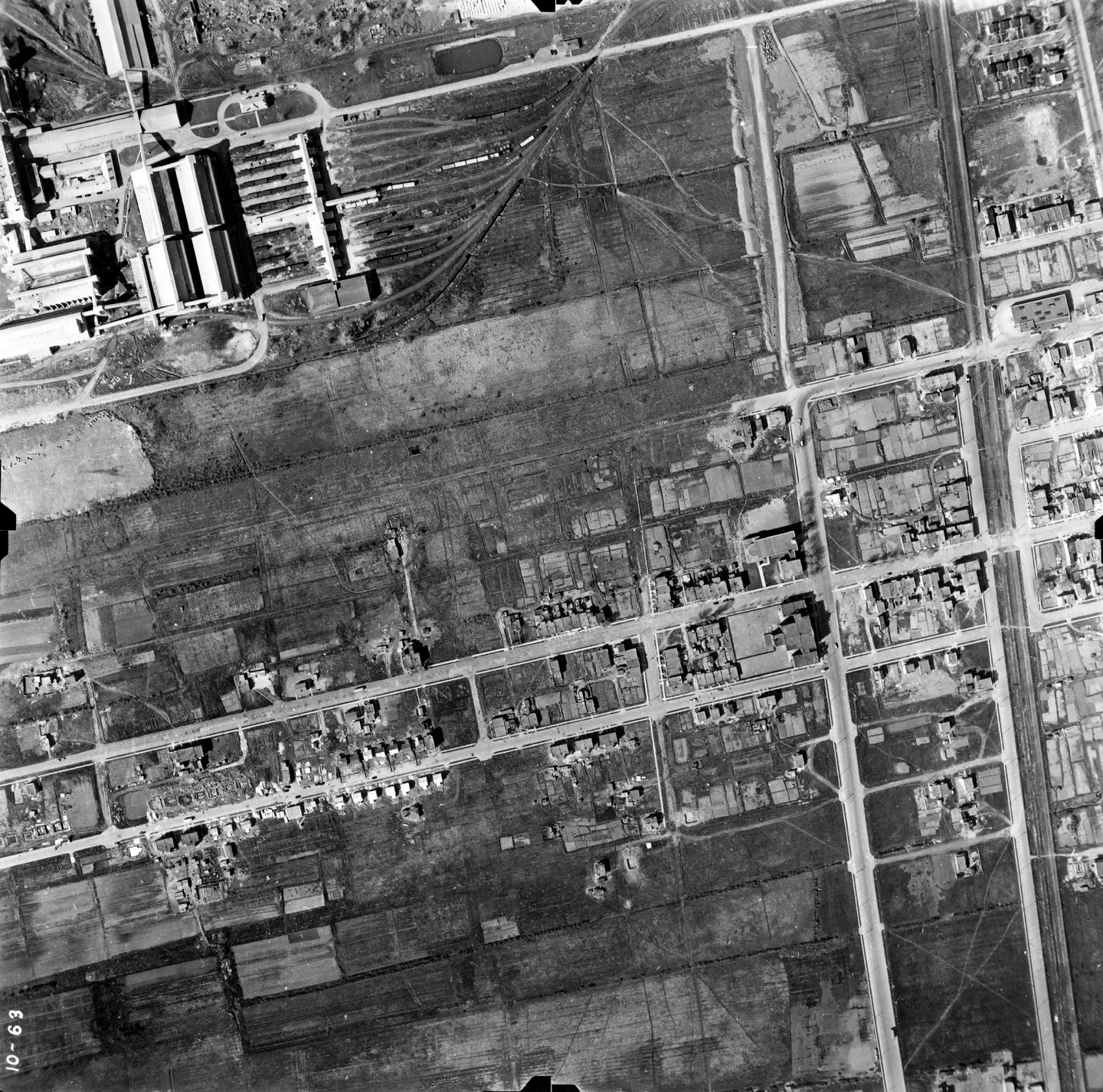
1947 · VM97-3_7P10-63
Street with cars, Mercier-Est, aerial view, 1947
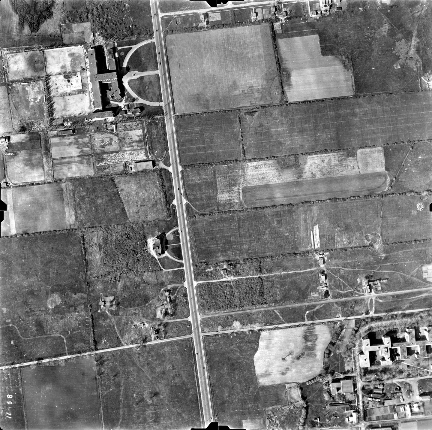
1947 · VM97-3_7P11-58
Rural road and building, Mercier-Est, aerial view, 1947
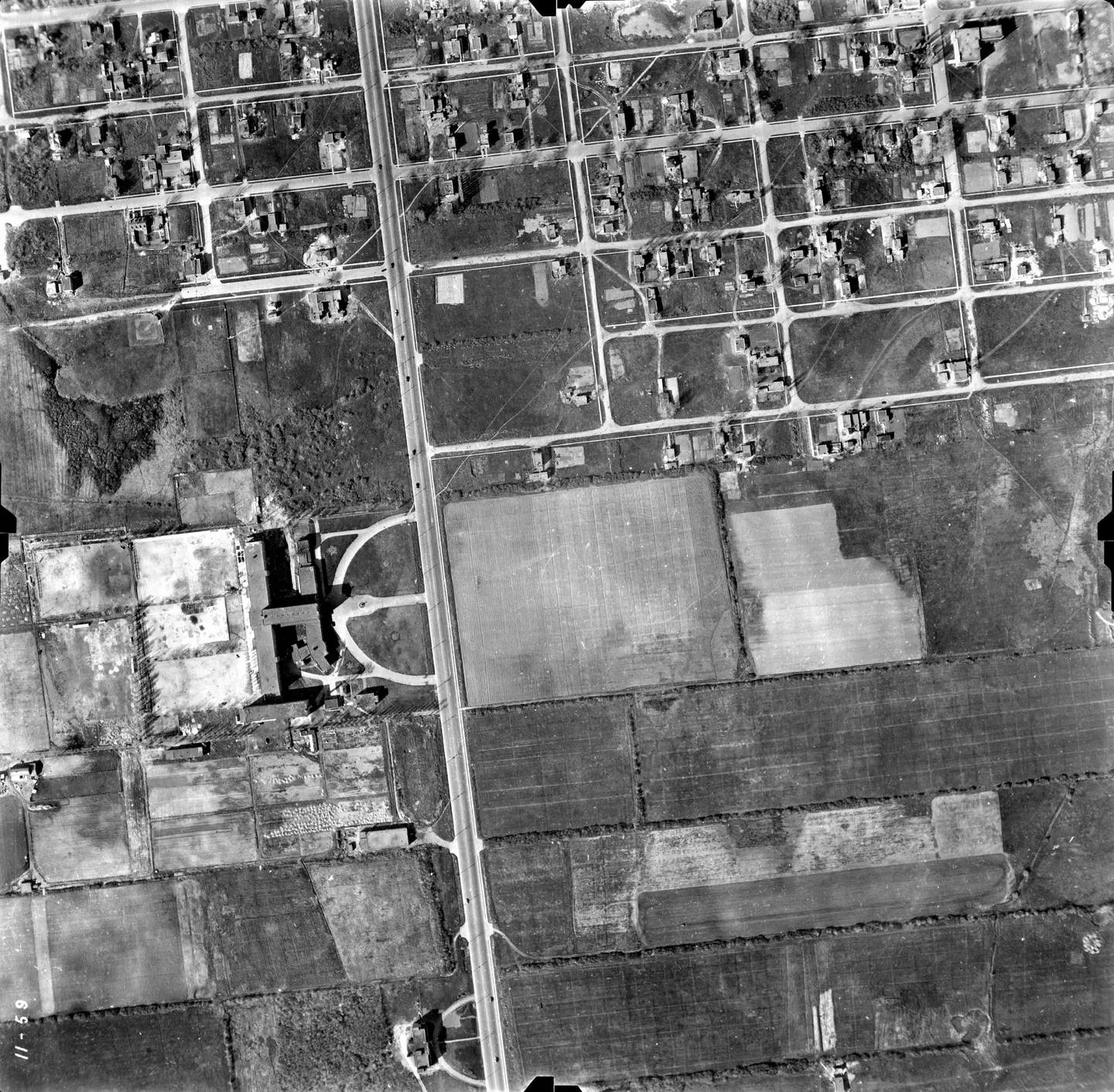
1947 · VM97-3_7P11-59
Urban street with cars, Mercier-Est, aerial view, 1947
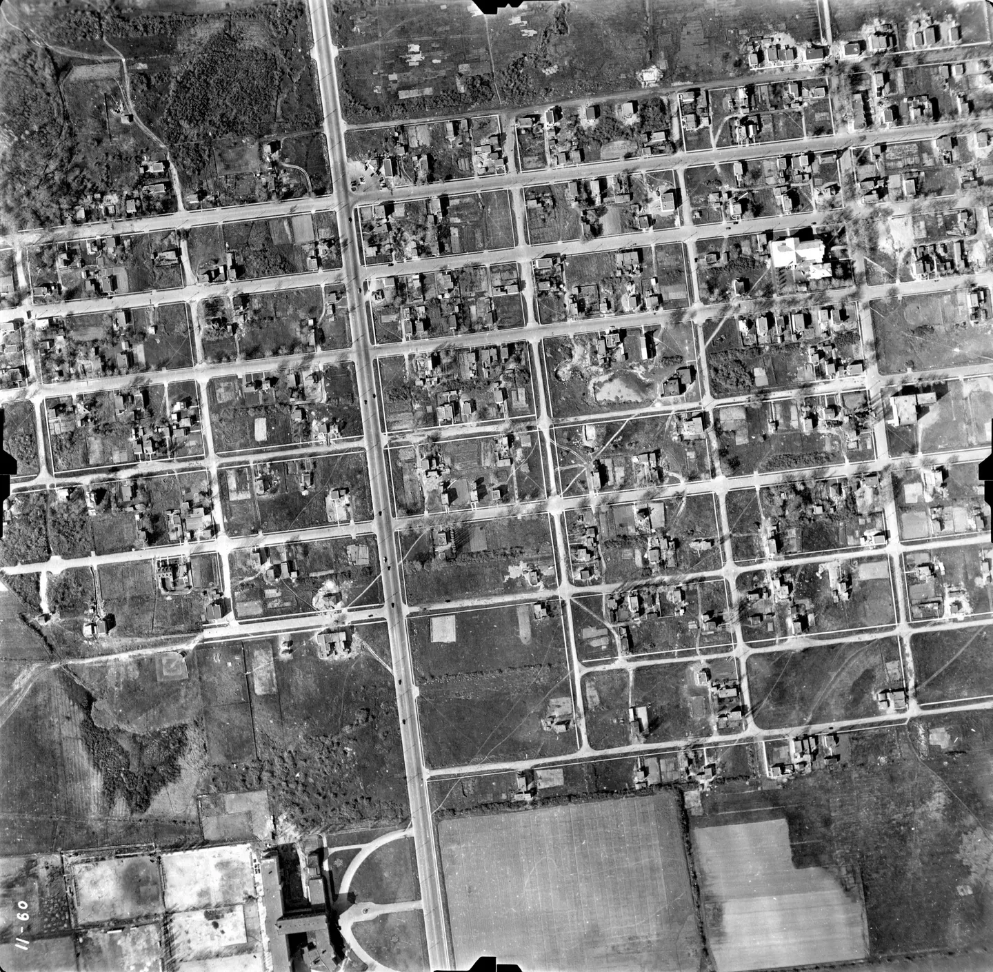
1947 · VM97-3_7P11-60
Urban street with cars, Mercier-Est, aerial view, 1947
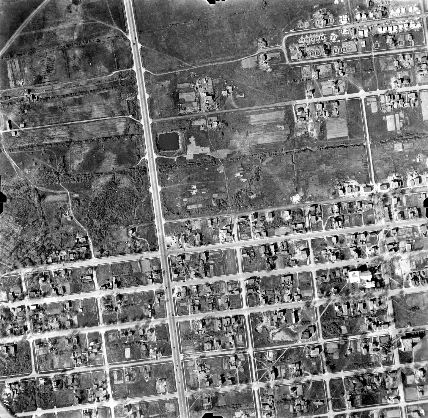
1947 · VM97-3_7P11-61
Urban street with park, Mercier-Est, aerial view, 1947
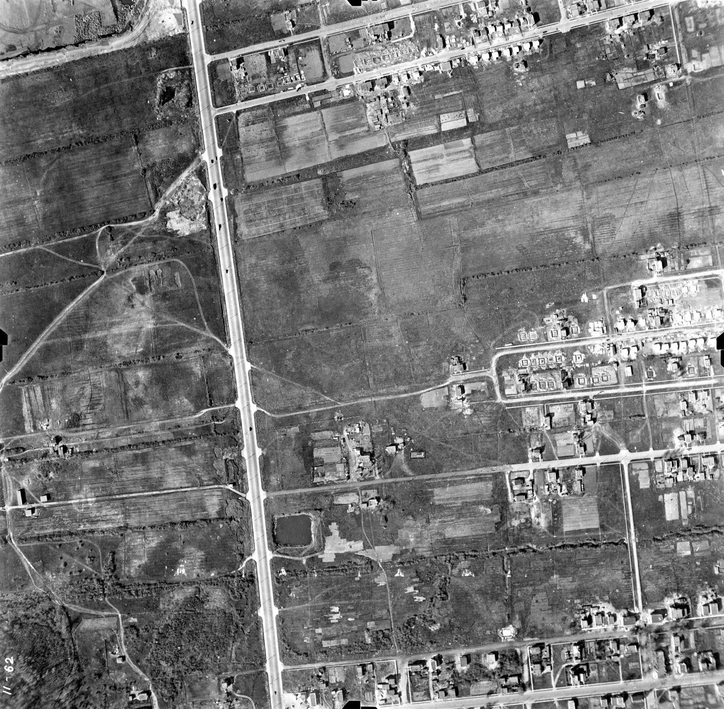
1947 · VM97-3_7P11-62
Street lined with cars, Mercier-Est, aerial view, 1947
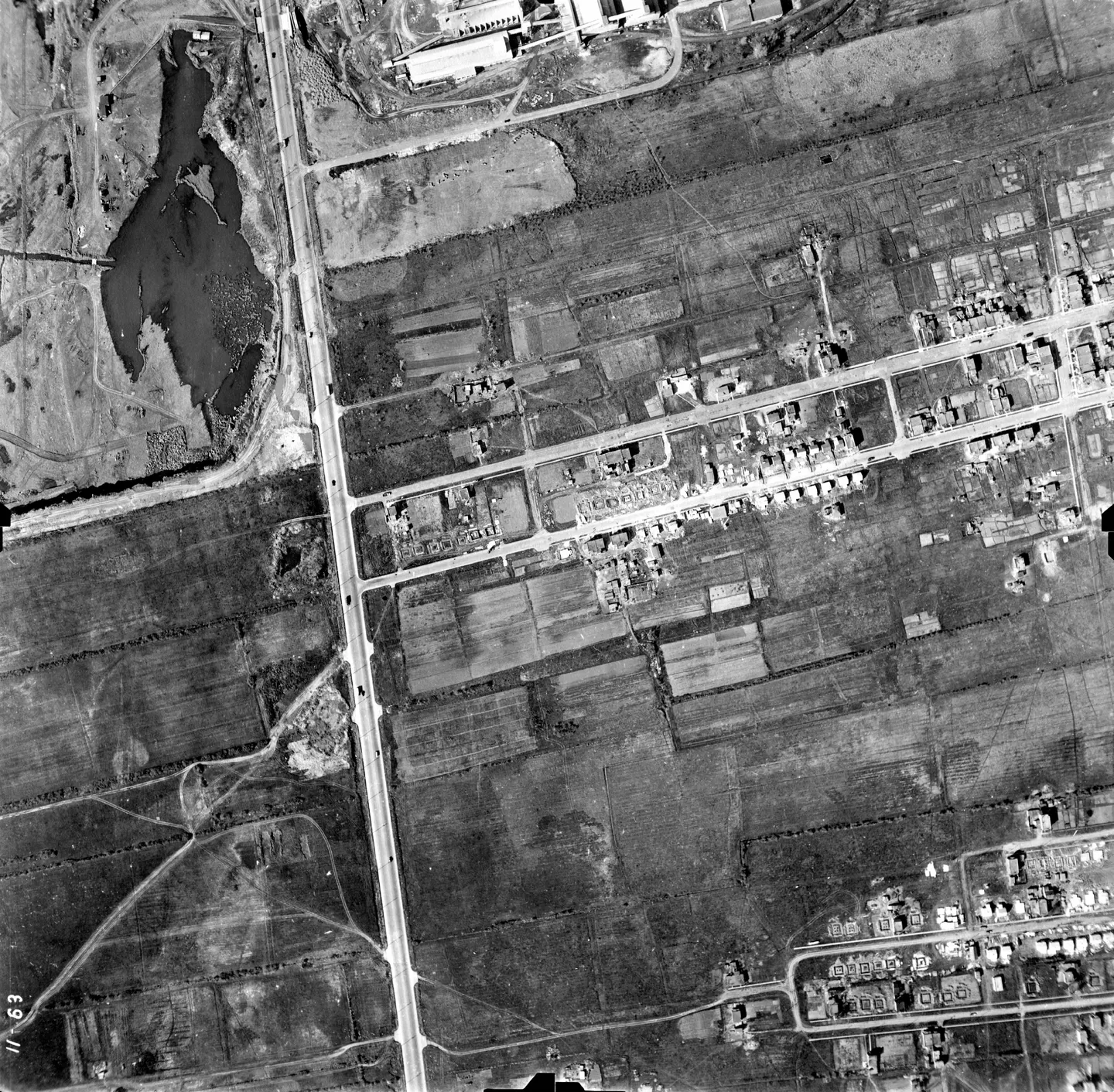
1947 · VM97-3_7P11-63
Rural street with pond, Mercier-Est, aerial view, 1947
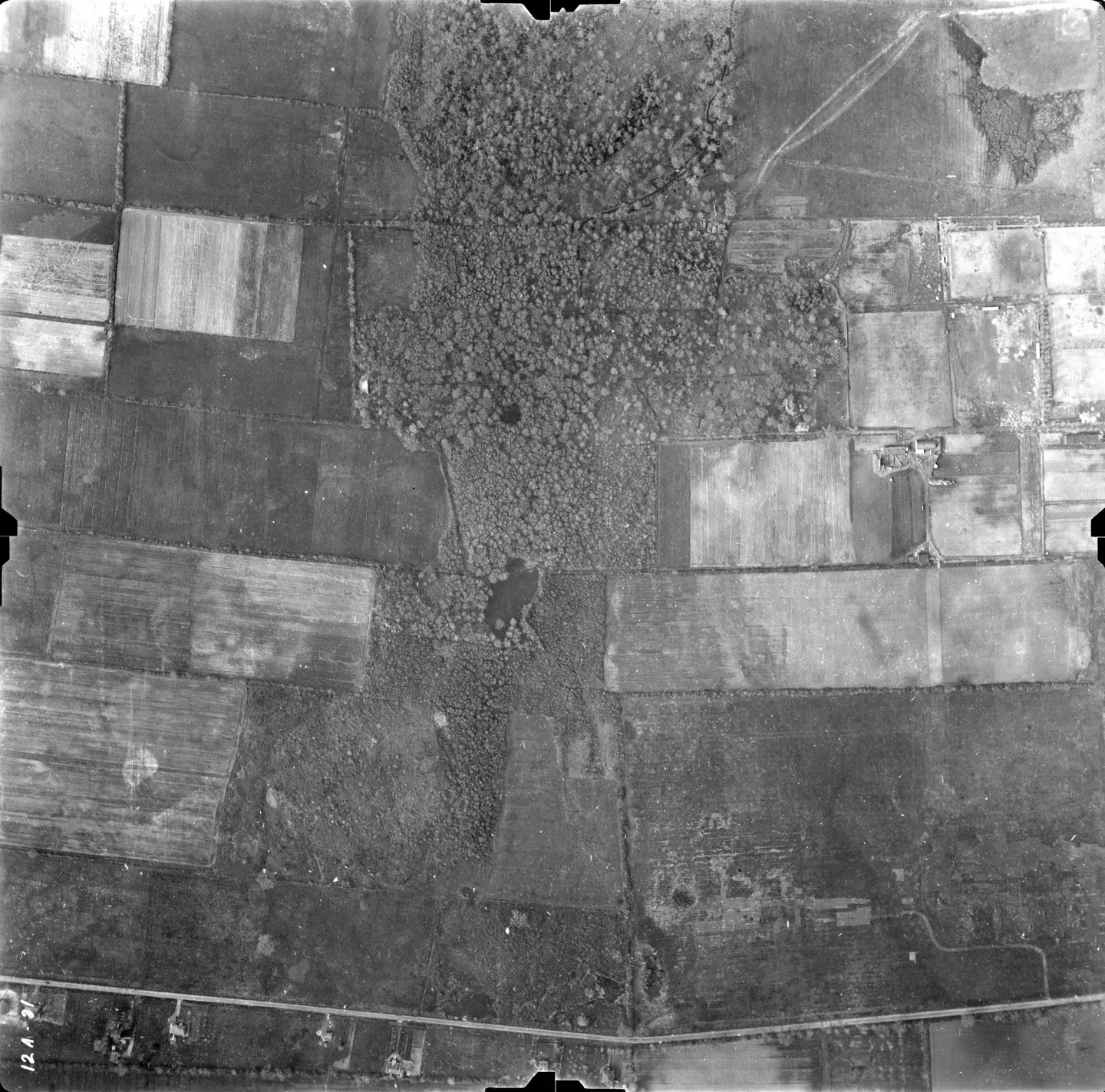
1947 · VM97-3_7P12A-31
Farm field with trees, Mercier-Est, aerial view, 1947
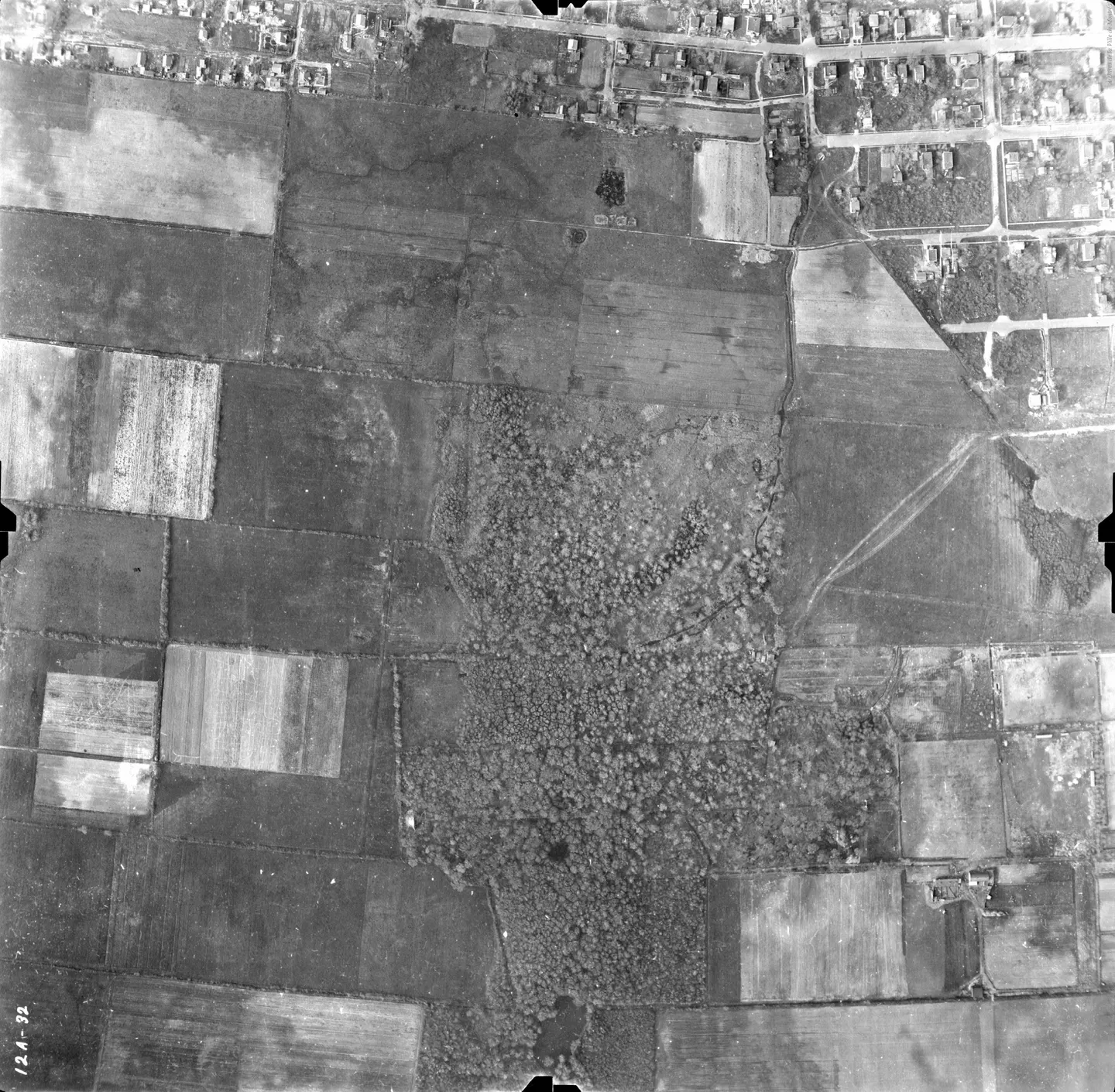
1947 · VM97-3_7P12A-32
Farm field with road, Mercier-Est, aerial view, 1947
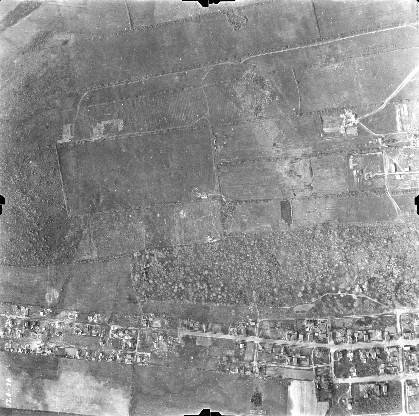
1947 · VM97-3_7P12A-34
City street with cars, Mercier-Est, aerial view, 1947
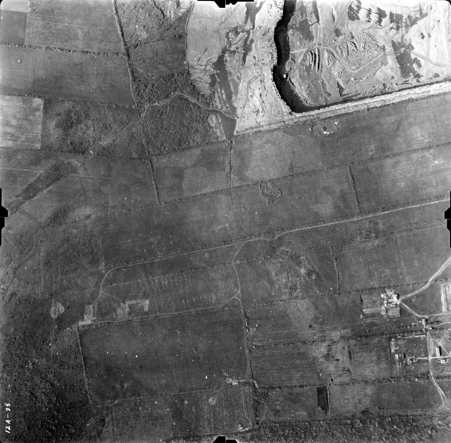
1947 · VM97-3_7P12A-35
Field with building, Mercier-Est, aerial view, 1947
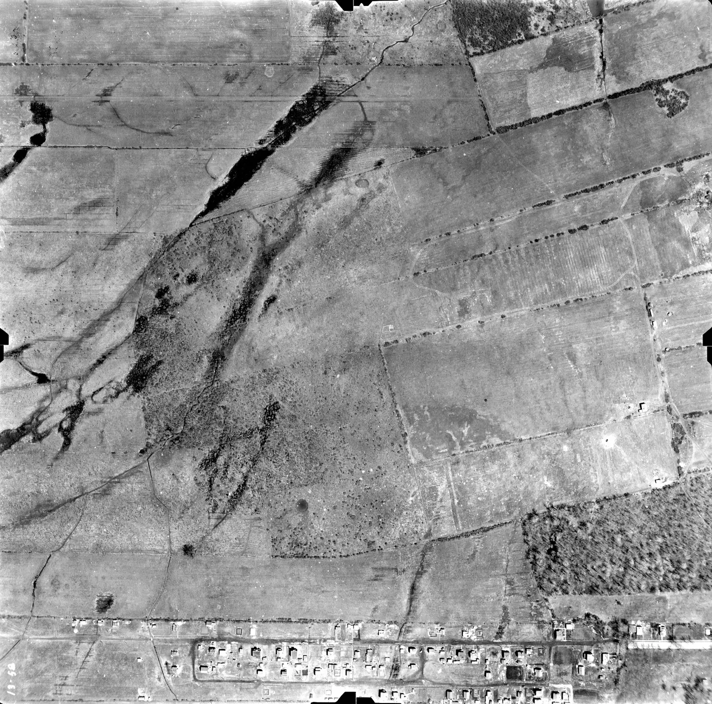
1947 · VM97-3_7P13-58
Field with road, Mercier-Est, aerial view, 1947
1958 → 1977
29 · vertical photographs · magnifier on each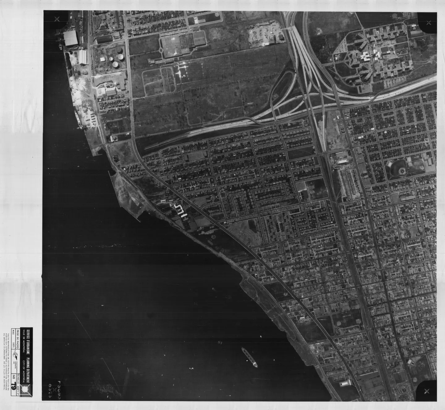
1971 · VM97,S3,D10,P079
Busy street, Mercier-Est, aerial view, 1971
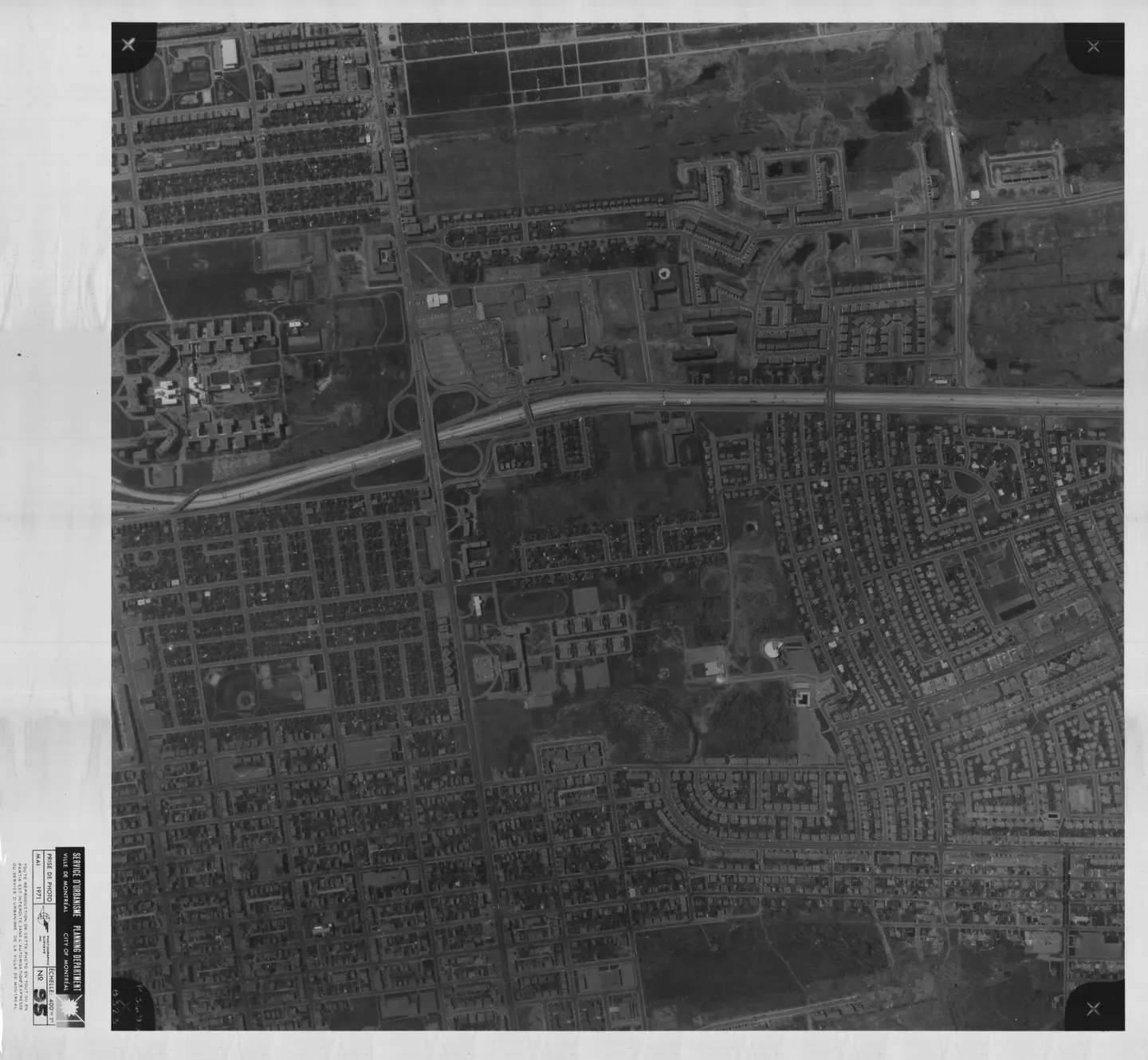
1971 · VM97,S3,D10,P095
City street with parked cars, Mercier-Est, aerial view, 1971
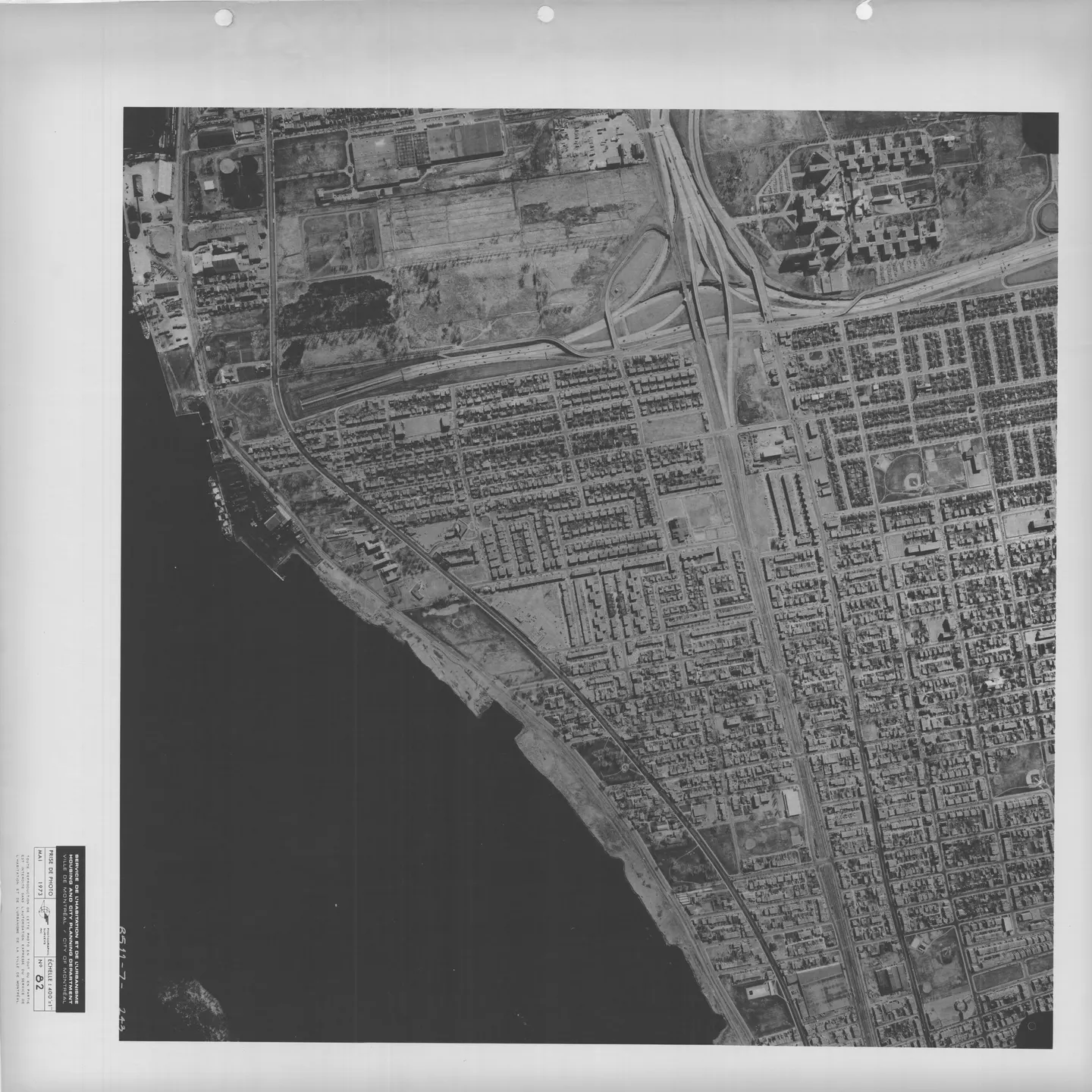
1973 · VM97,S3,D13,P082
Urban street with cars, Mercier-Est, aerial view, 1973
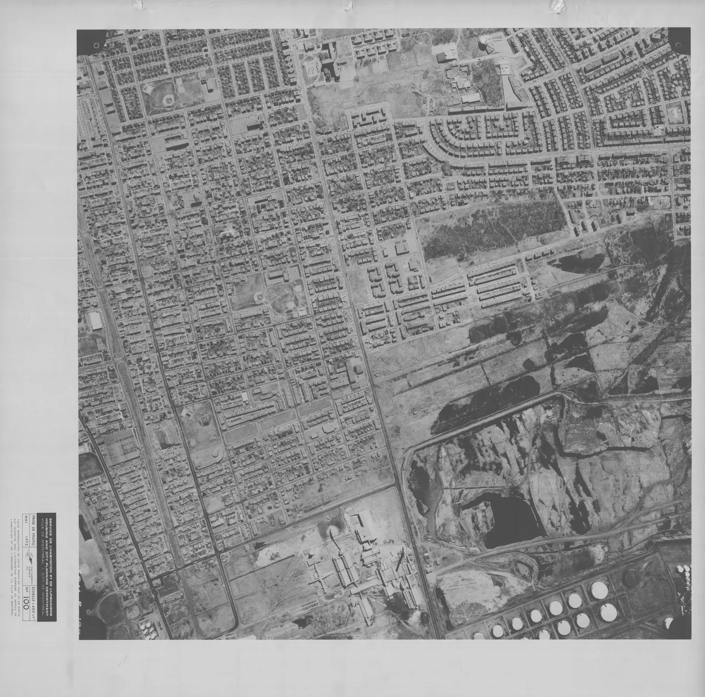
1973 · VM97,S3,D13,P100
Street lined with houses, Mercier-Est, aerial view, 1973
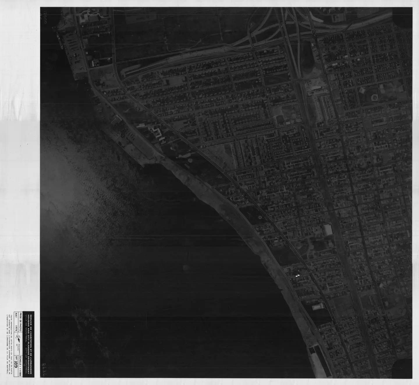
1975 · VM97,S3,D15,P109
Street with buildings, Mercier-Est, aerial view, 1975
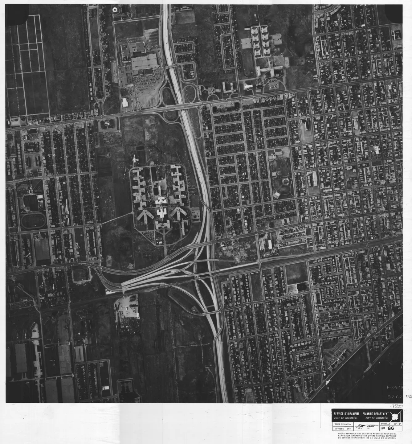
1969 · VM97,S3,D09,P086
Building with clock tower, Mercier-Est, aerial view, 1969
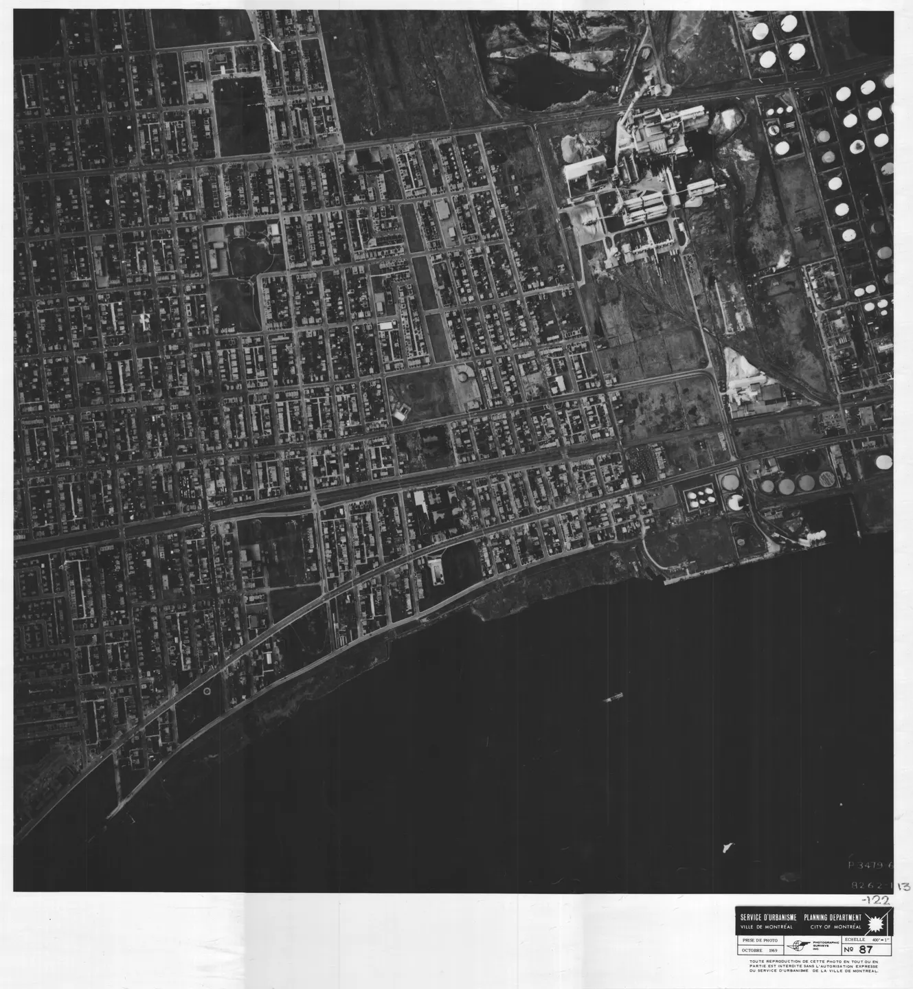
1969 · VM97,S3,D09,P087
Large factory near water, Mercier-Est, aerial view, 1969
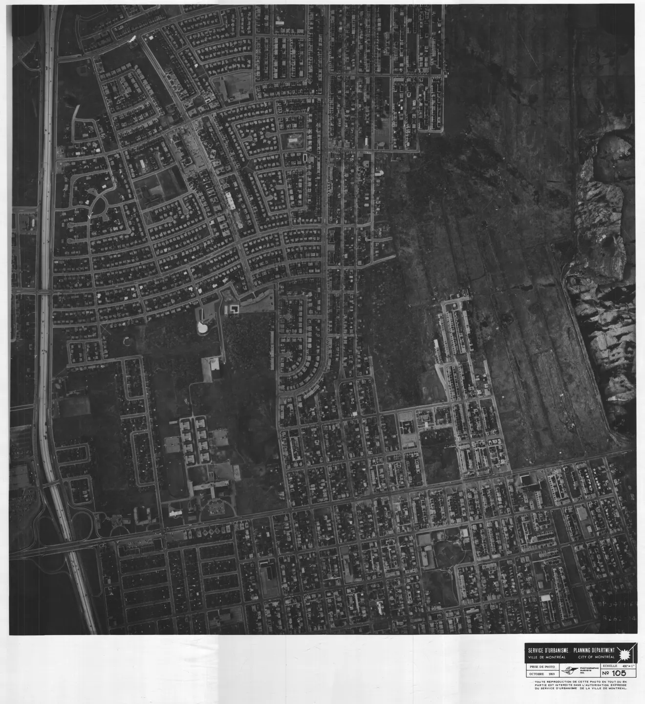
1969 · VM97,S3,D09,P105
Street with houses and cars, Mercier-Est, aerial view, 1969
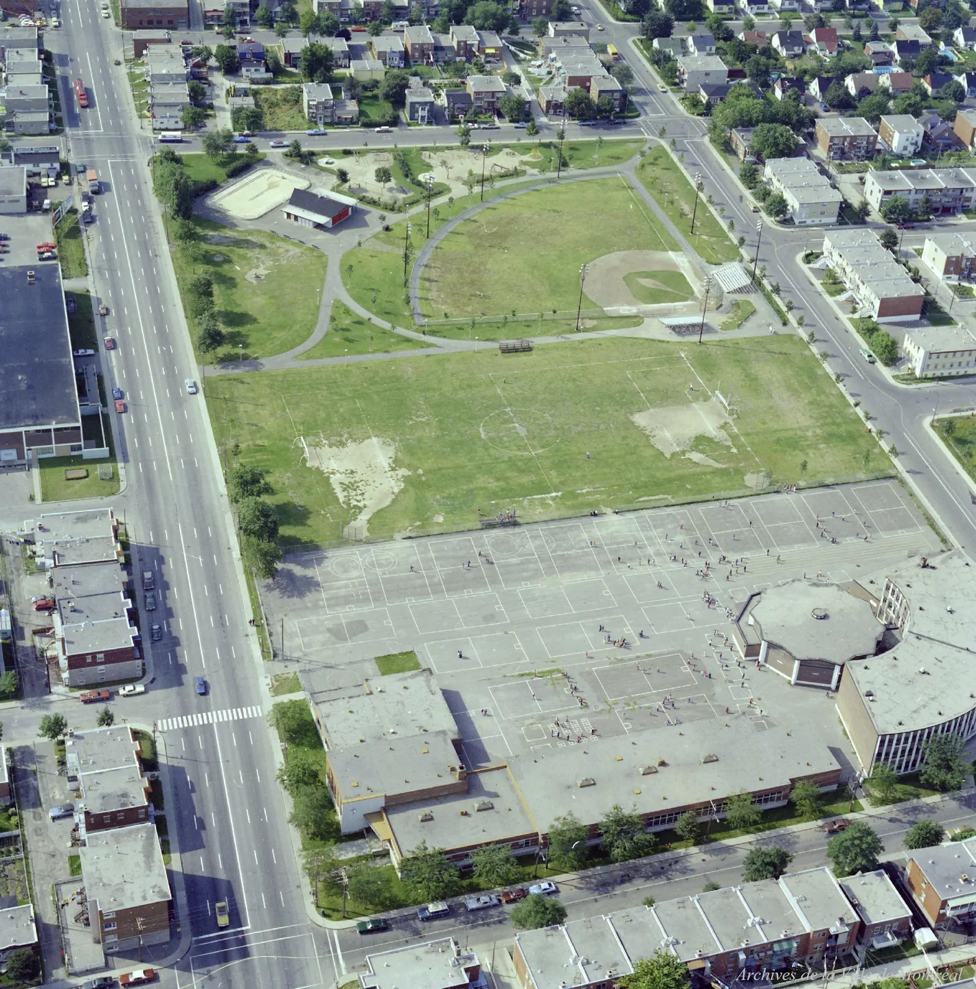
1976 · VM94-B209-155
Parc Saint-Victor, oblique view, 1976
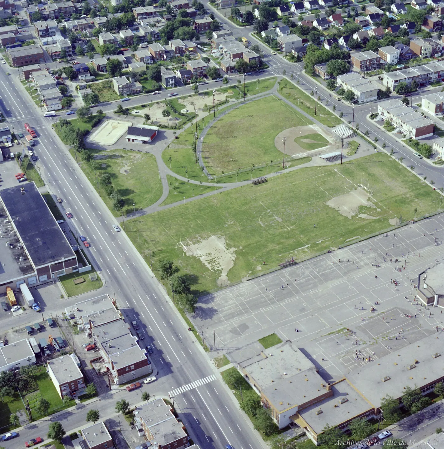
1976 · VM94-B209-156
Parc Saint-Victor, oblique view, 1976
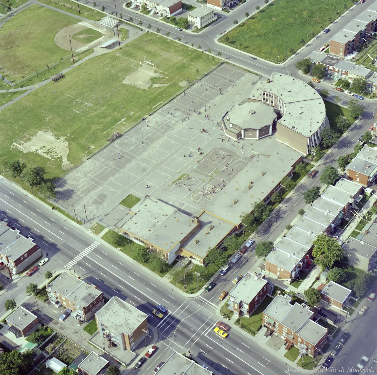
1976 · VM94-B209-157
Parc Saint-Victor, oblique view, 1976
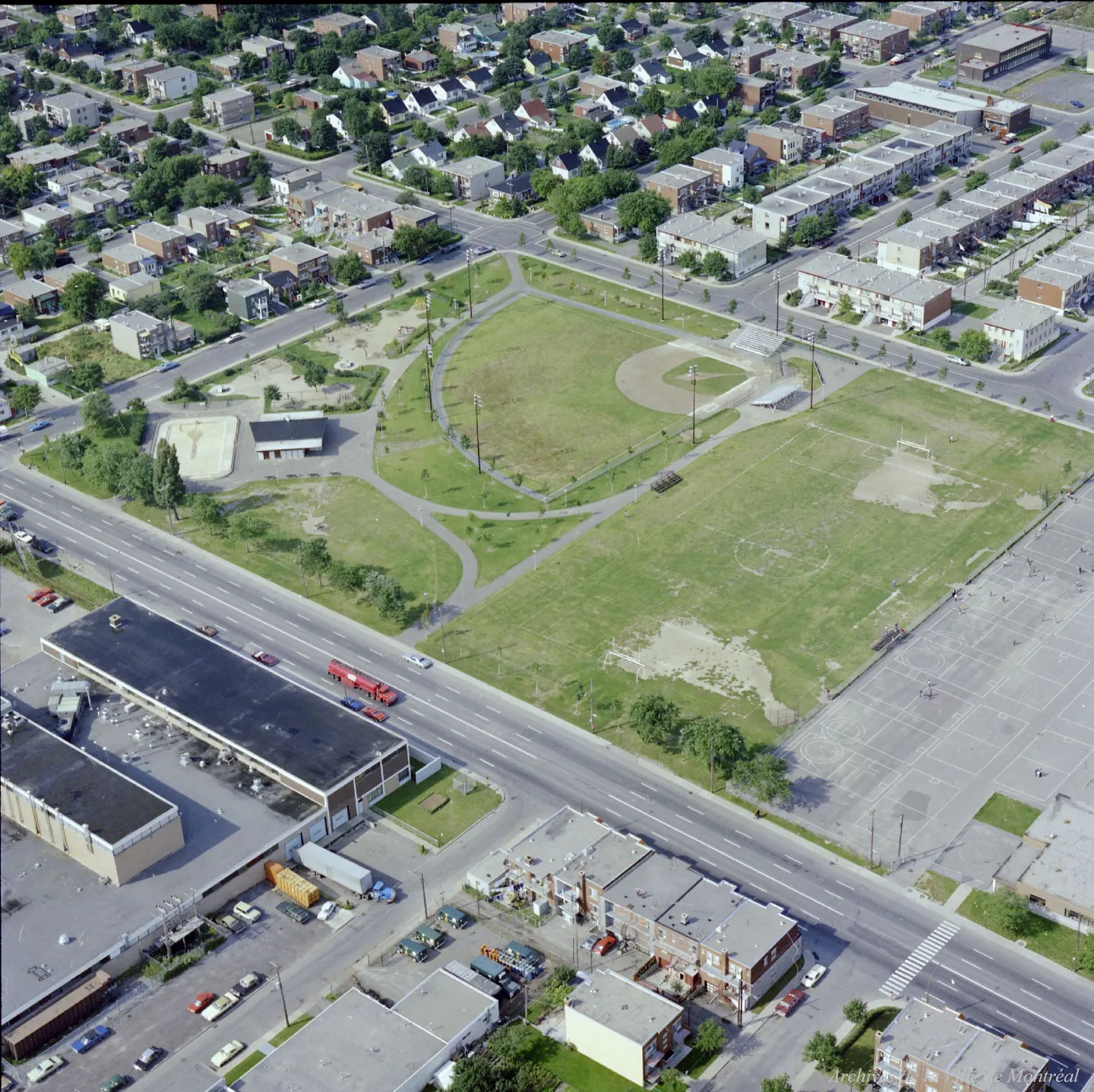
1976 · VM94-B209-158
Parc Saint-Victor, oblique view, 1976
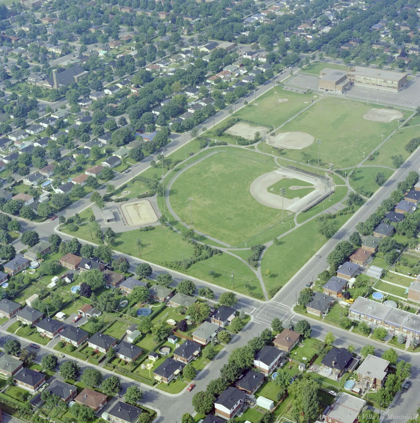
1976 · VM94-B209-174
Parc Liébert, oblique view, 1976
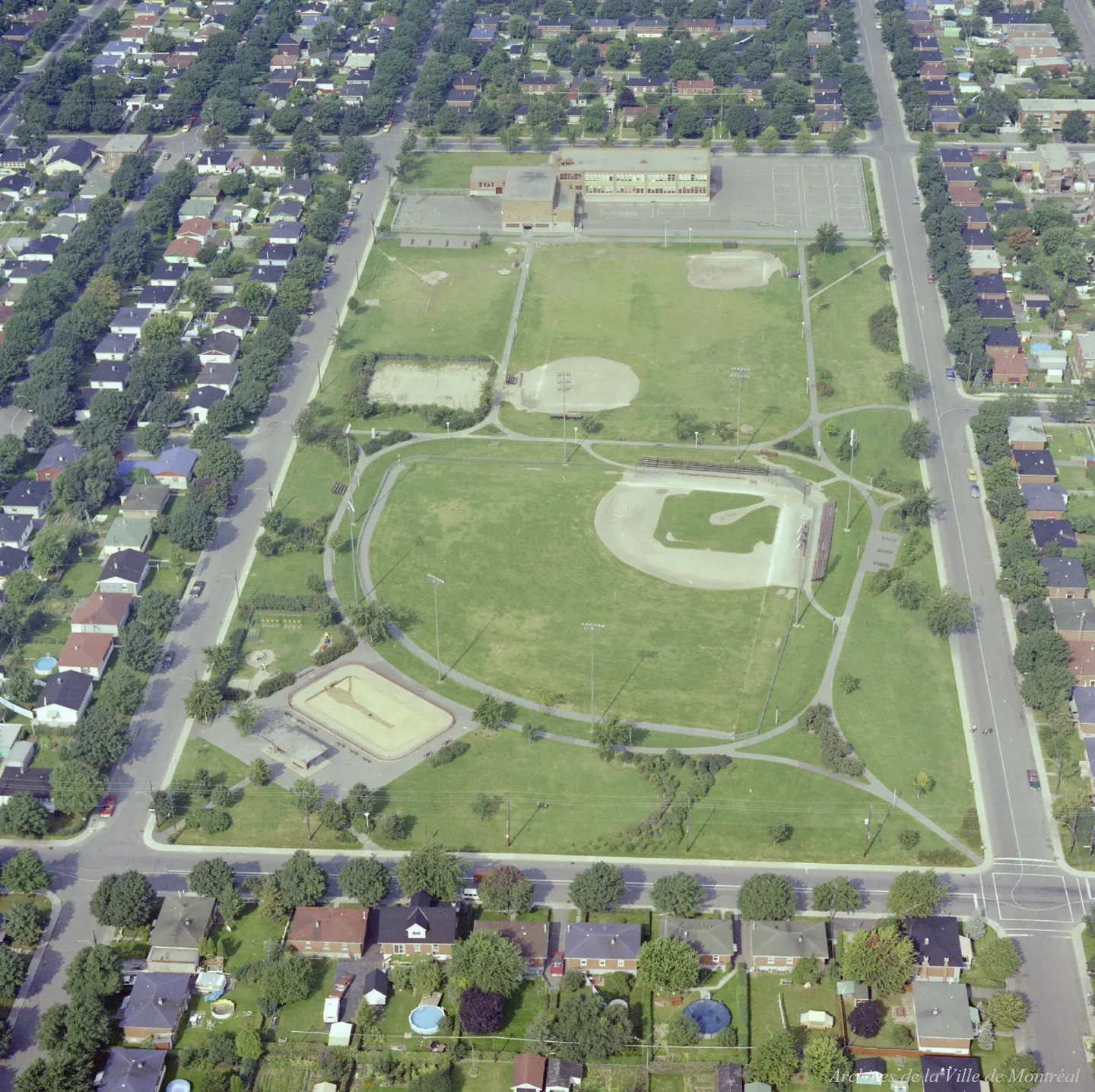
1976 · VM94-B209-175
Parc Liébert, oblique view, 1976
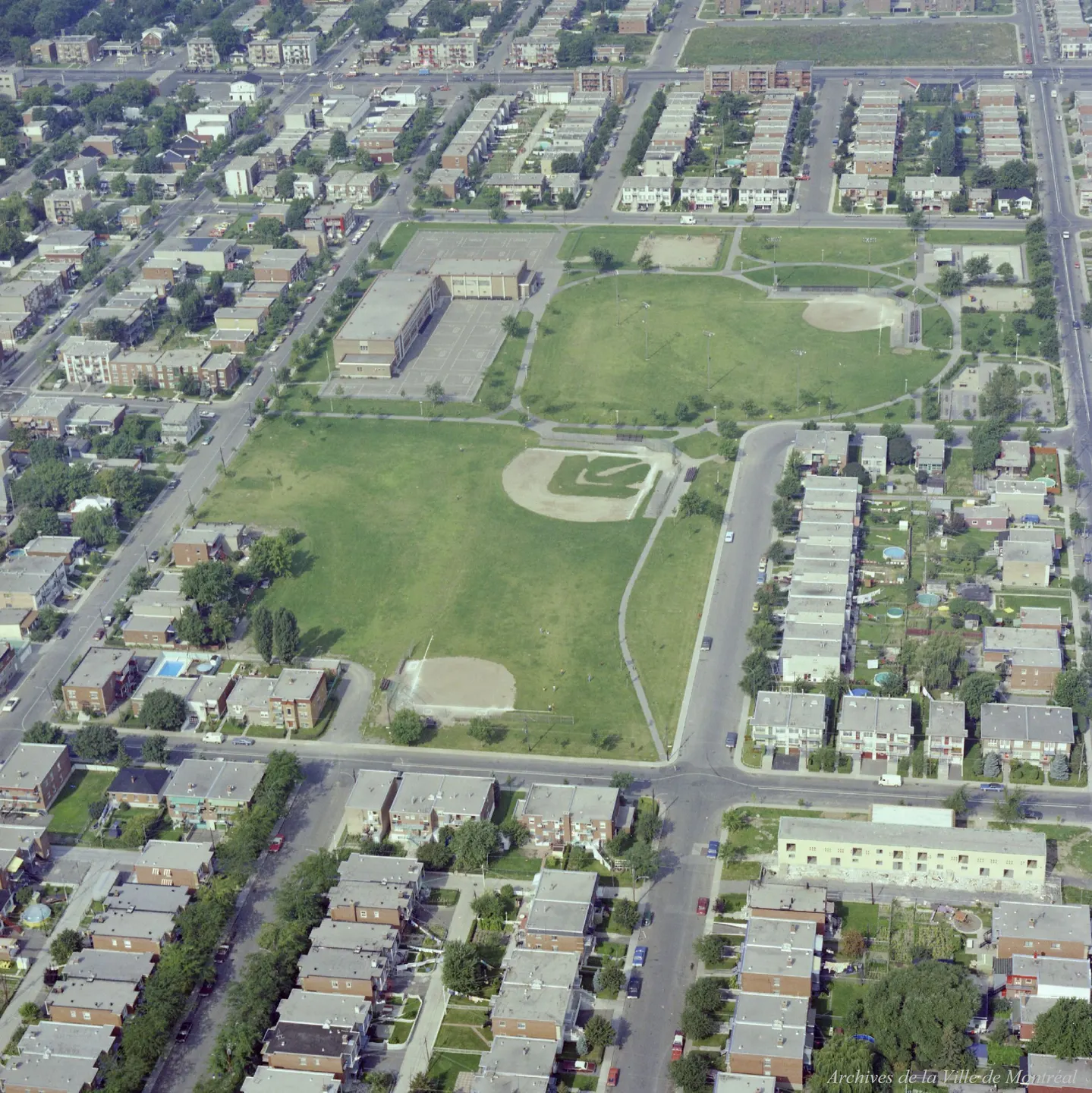
1976 · VM94-B209-183
Parc Pierre-Bernard, oblique view, 1976
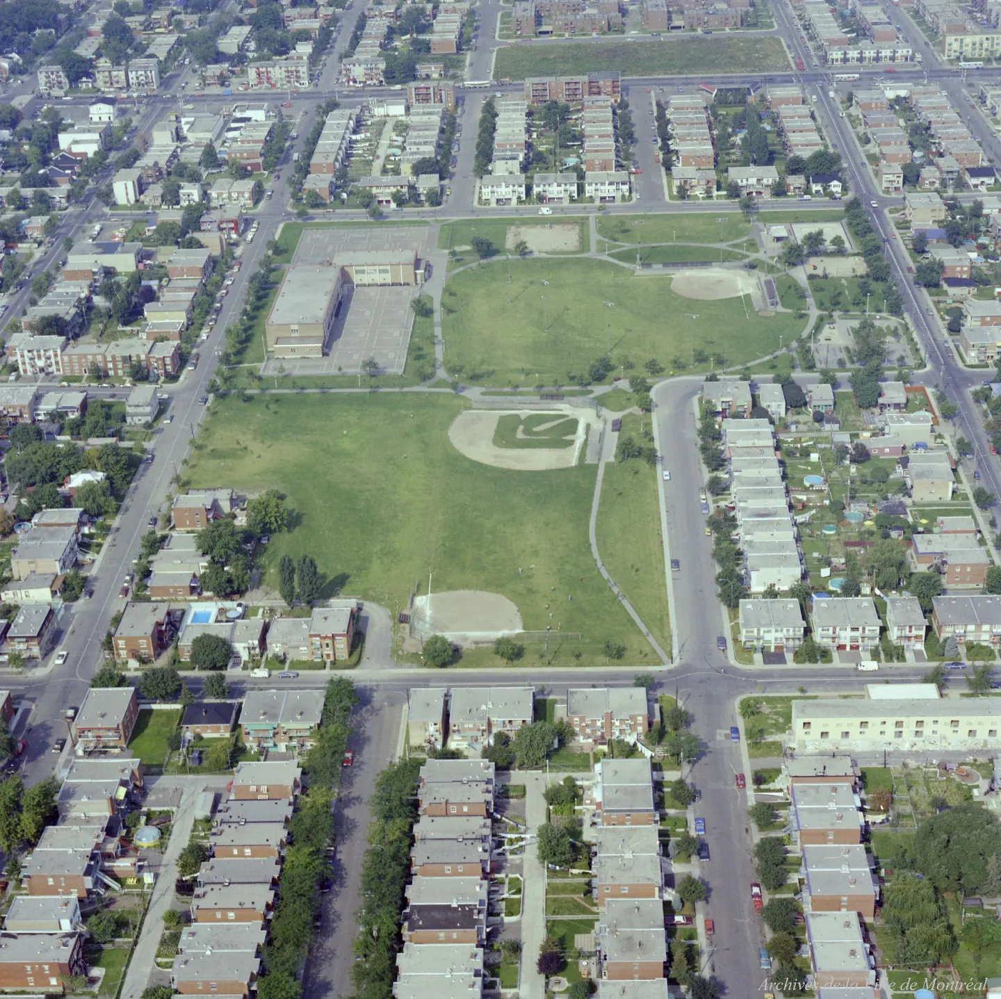
1976 · VM94-B209-184
Parc Pierre-Bernard, oblique view, 1976
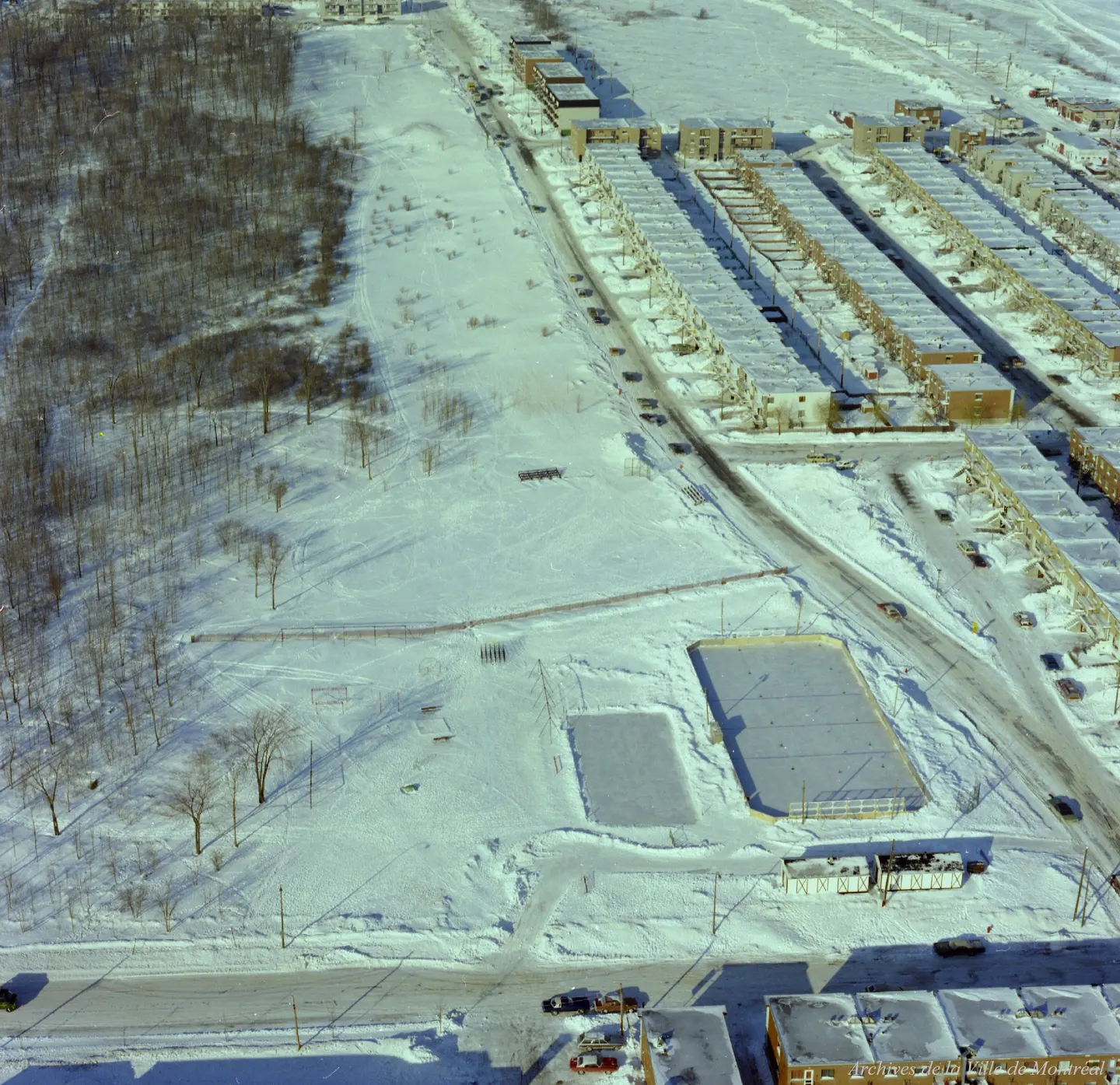
1977 · VM94-B214-050
Parc Thomas-Chapais, oblique view, 1977
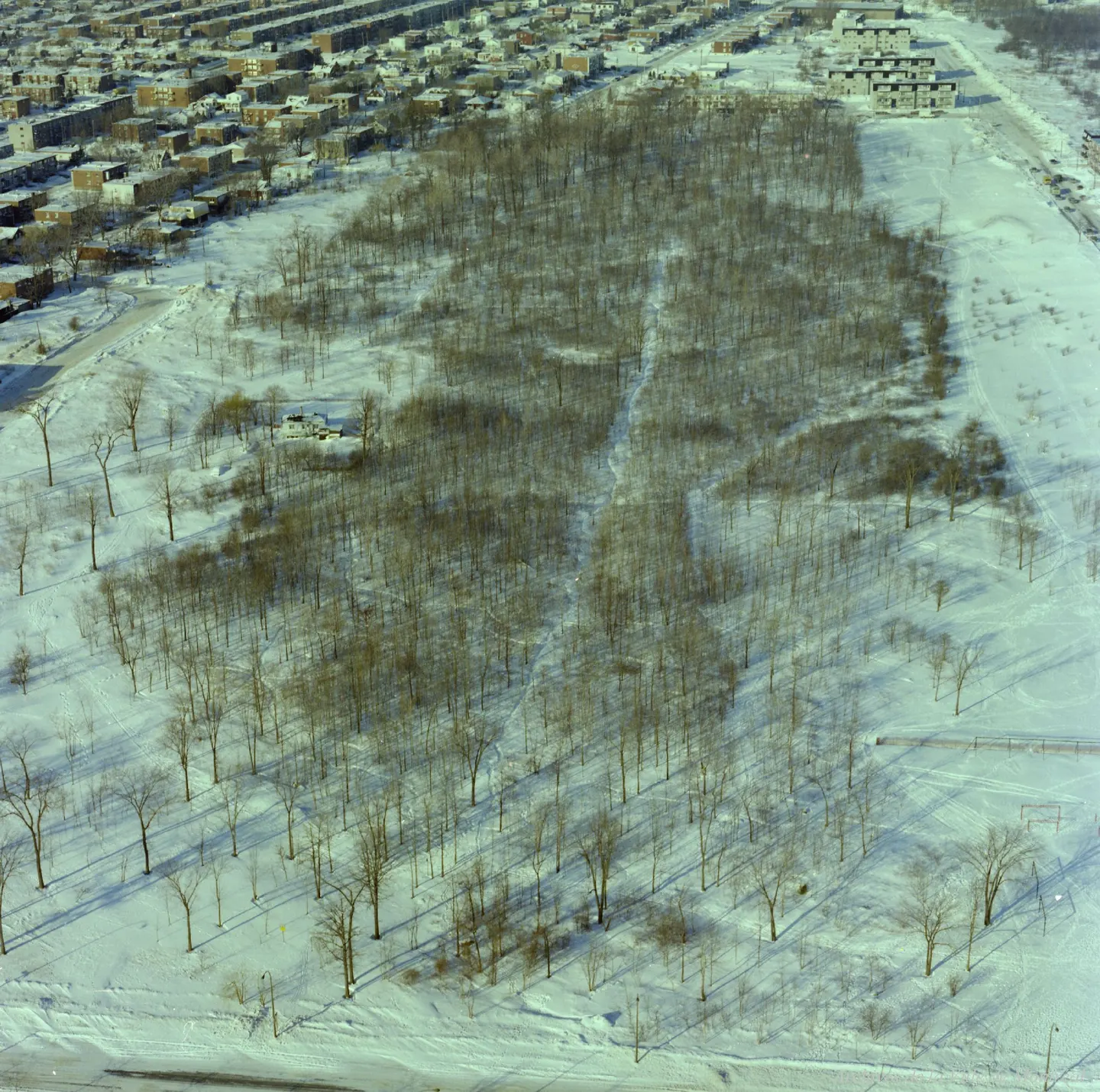
1977 · VM94-B214-051
Parc Thomas-Chapais, oblique view, 1977
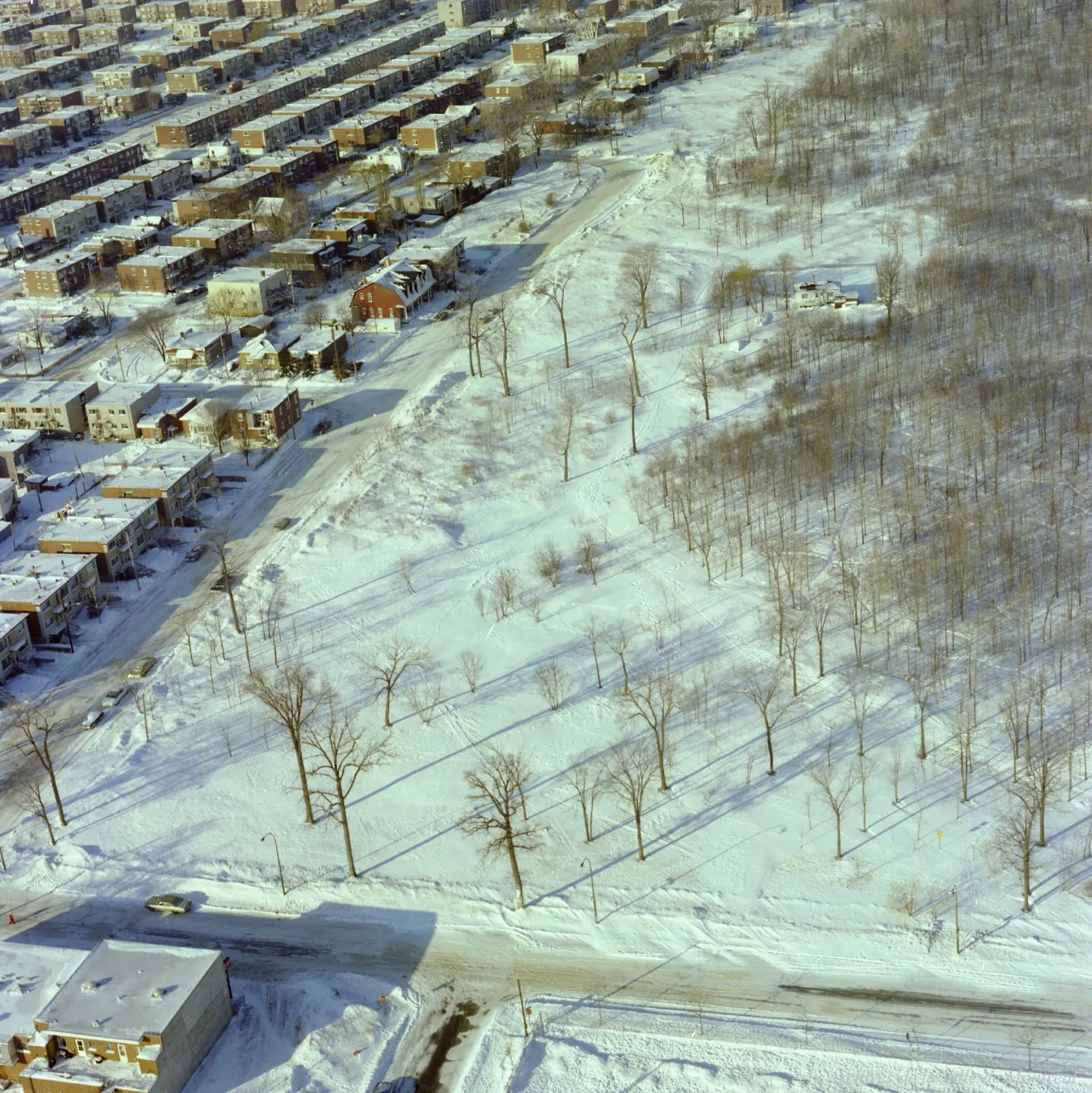
1977 · VM94-B214-052
Parc Thomas-Chapais, oblique view, 1977
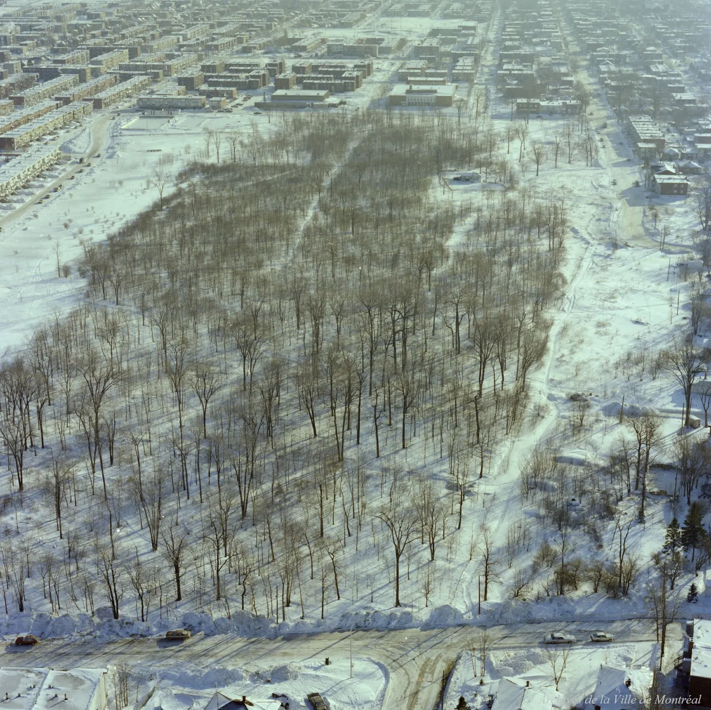
1977 · VM94-B214-053
Parc Thomas-Chapais, oblique view, 1977
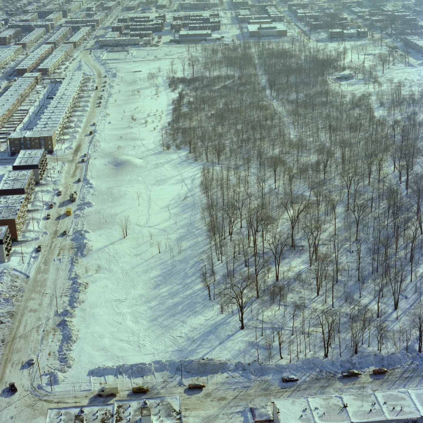
1977 · VM94-B214-054
Parc Thomas-Chapais, oblique view, 1977
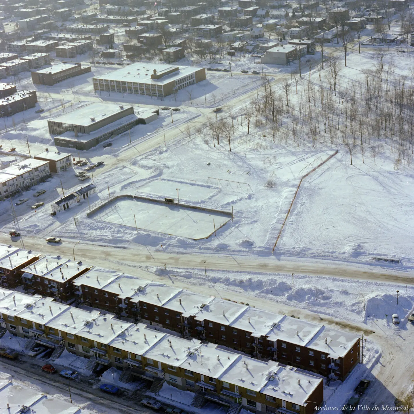
1977 · VM94-B214-055
Parc Thomas-Chapais, oblique view, 1977
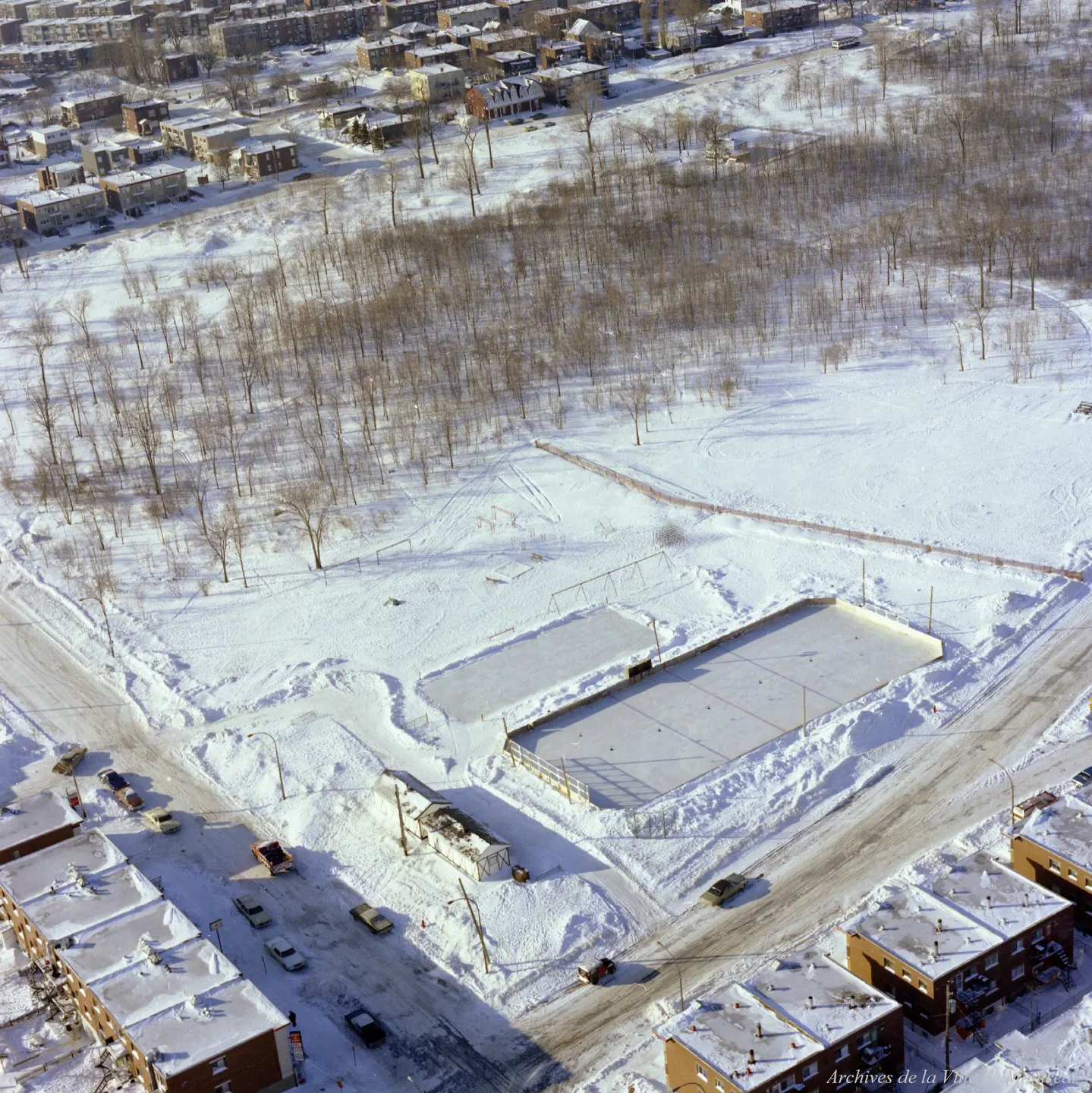
1977 · VM94-B214-056
Parc Thomas-Chapais, oblique view, 1977
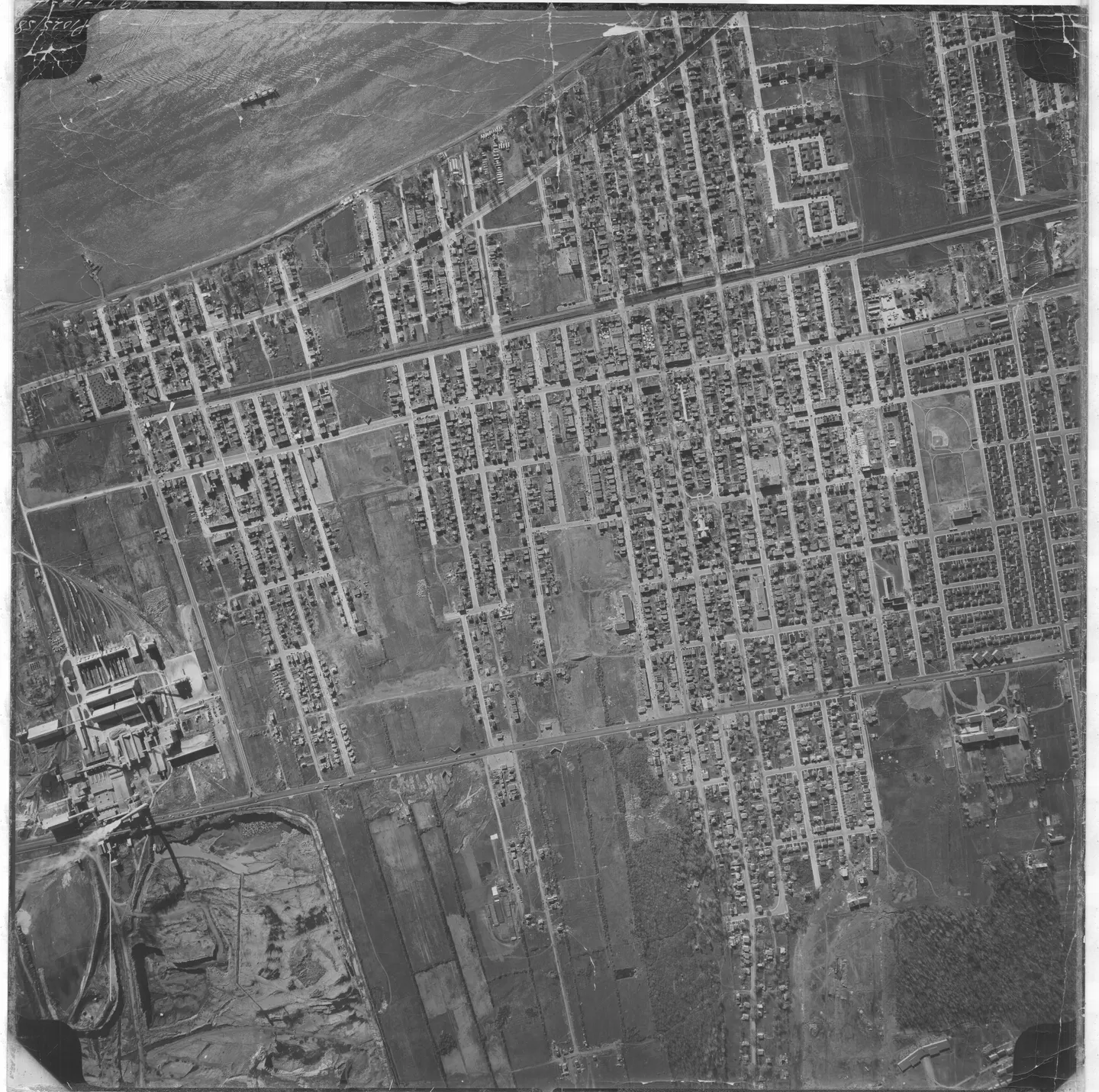
1958 · VM97,S3,D02,P14-049
Street with parked cars, Mercier-Est, aerial view, 1958
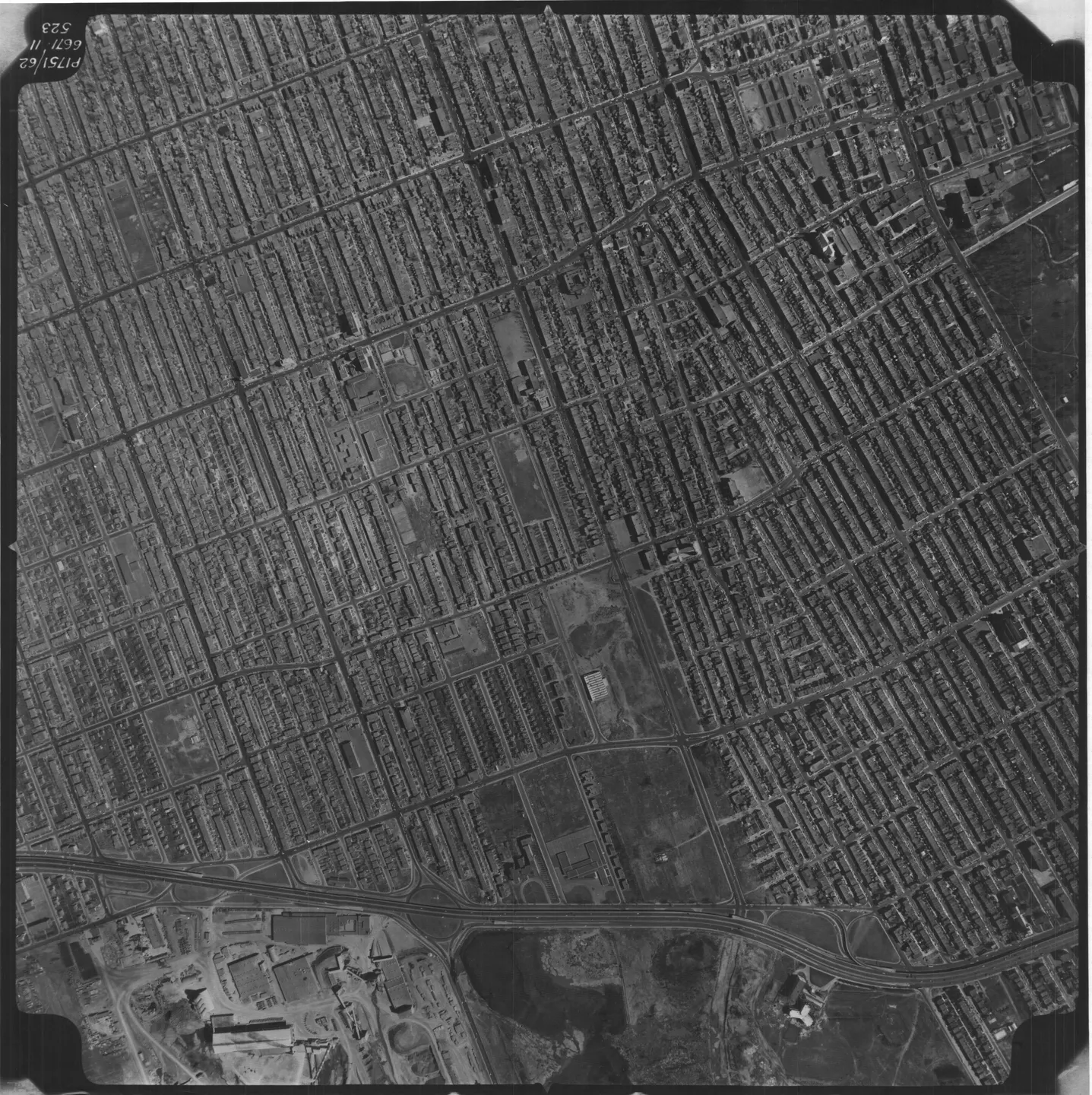
1962 · VM97,S3,D04,P532
Street lined with buildings and a park, Mercier-Est, aerial view, 1962
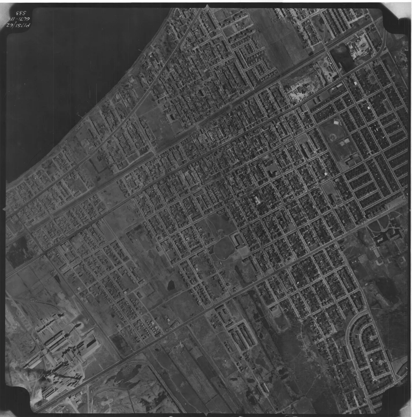
1962 · VM97,S3,D04,P533
Street lined with buildings and cars, Mercier-Est, aerial view, 1962
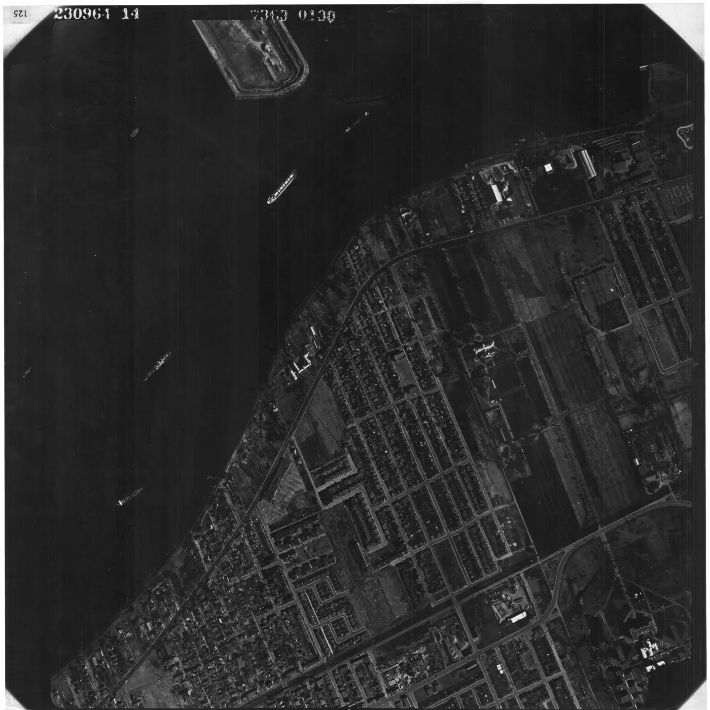
1964 · VM97,S3,D05,P125
Mercier‑Est waterfront, aerial view, 1964
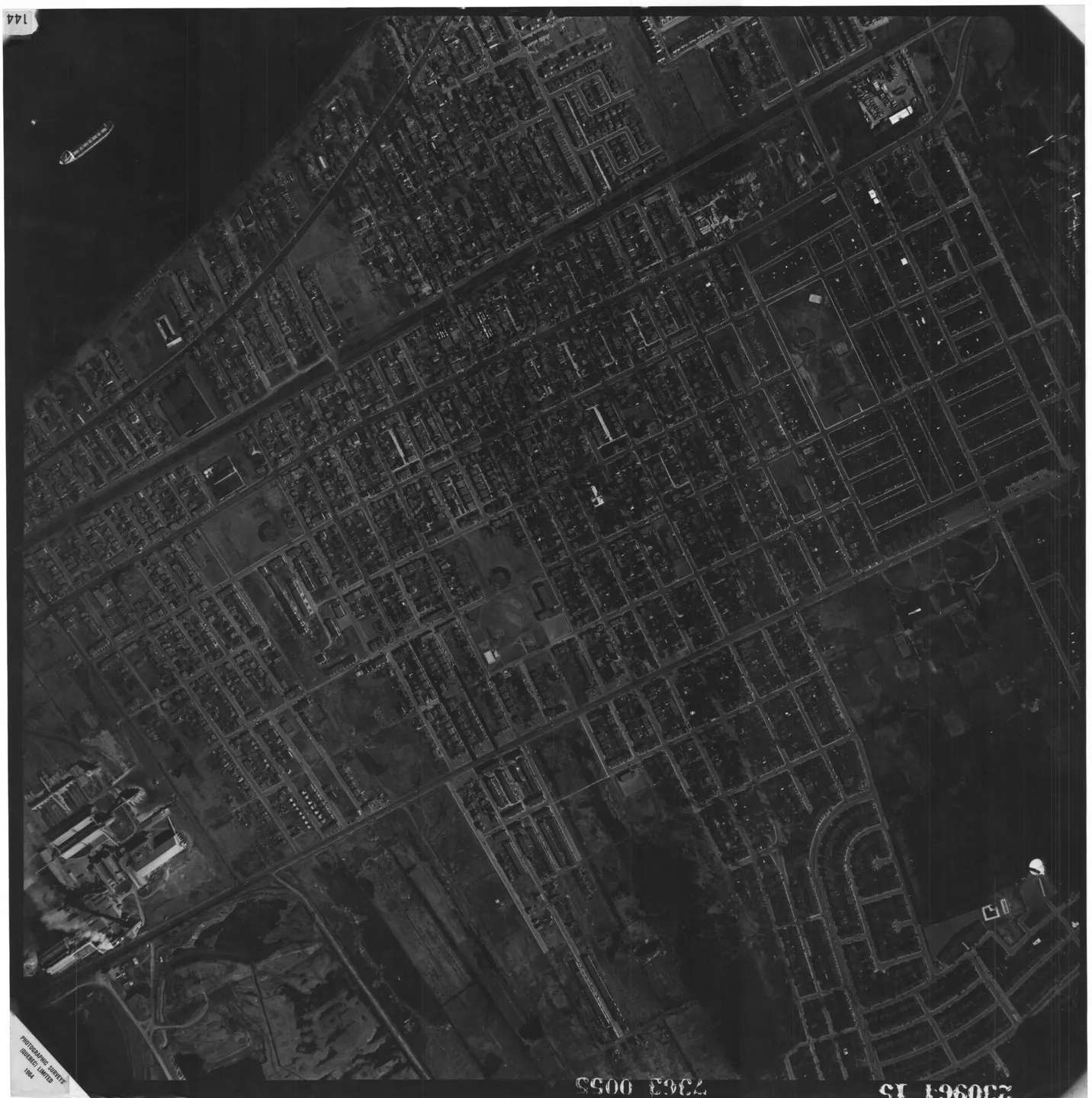
1964 · VM97,S3,D05,P144
Street with buildings and cars, Mercier-Est, aerial view, 1964
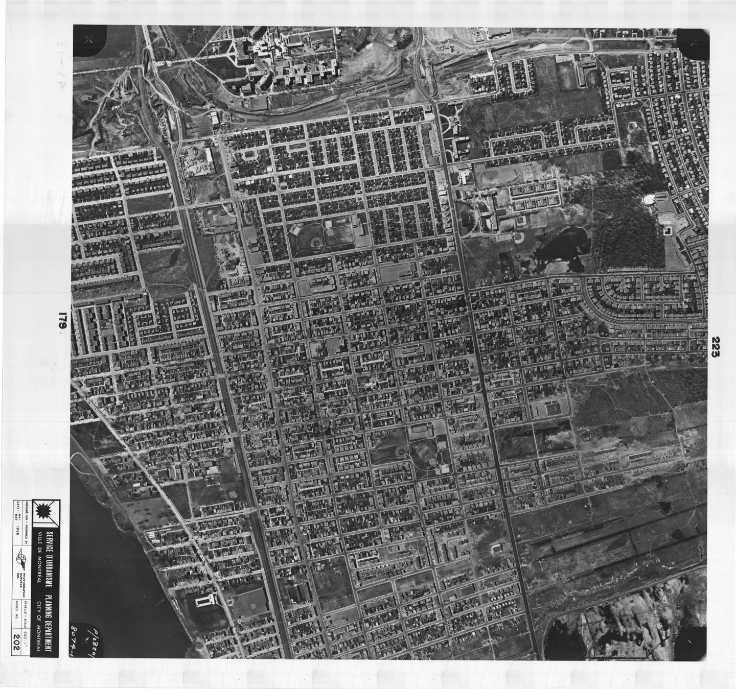
1966 · VM97,S3,D08,P202
Street with cars, Mercier-Est, aerial view, 1966
1976 → 1977
15 · oblique views, in colour1976 · VM94-B209-155
Parc Saint-Victor, oblique view, 1976
1976 · VM94-B209-156
Parc Saint-Victor, oblique view, 1976
1976 · VM94-B209-157
Parc Saint-Victor, oblique view, 1976
1976 · VM94-B209-158
Parc Saint-Victor, oblique view, 1976
1976 · VM94-B209-174
Parc Liébert, oblique view, 1976
1976 · VM94-B209-175
Parc Liébert, oblique view, 1976
1976 · VM94-B209-183
Parc Pierre-Bernard, oblique view, 1976
1976 · VM94-B209-184
Parc Pierre-Bernard, oblique view, 1976
1977 · VM94-B214-050
Parc Thomas-Chapais, oblique view, 1977
1977 · VM94-B214-051
Parc Thomas-Chapais, oblique view, 1977
1977 · VM94-B214-052
Parc Thomas-Chapais, oblique view, 1977
1977 · VM94-B214-053
Parc Thomas-Chapais, oblique view, 1977
1977 · VM94-B214-054
Parc Thomas-Chapais, oblique view, 1977
1977 · VM94-B214-055
Parc Thomas-Chapais, oblique view, 1977
1977 · VM94-B214-056
Parc Thomas-Chapais, oblique view, 1977
SUNDAY MORNINGS
Follow Mercier-Est
An email on Sunday when the neighbourhood has something new.An email on Sunday when a photograph or story about the neighbourhood arrives. Nothing else.