
NEIGHBOURHOOD · 58 PHOTOGRAPHS
Saint-Michel
197358 photos · 1947 → 1975
Street with park, Saint-Michel, aerial view, 1973 · VM97,S3,D13,P137 · Photographs: Archives de la Ville de Montréal
Saint-Michel, from above
At Parc Frédéric-Back, the spheres cover biogas collection wells on the site of a former limestone quarry and landfill. Montée Saint-Michel, now Boulevard Saint-Michel, opened in 1707 to link Ville-Marie with Sault-au-Récollet, beside the Rivière des Prairies.
Felled ash trees provide wood for benches, while material scaled from the quarry cliffs goes into new paths and trails. The Miron and Francon quarries previously supplied jobs for working families, including Italian immigrants; their limestone helped build Sainte-Justine hospital, Place Ville-Marie and Complexe Desjardins.
The quarries’ adverse effects also prompted protests that brought community organizations together, including the Association pour la défense des droits des Michélois and Vivre Saint-Michel en santé. At Francon, the former excavation serves as a disposal site for snow cleared from city streets. In 1995, Cirque du Soleil purchased part of the former Miron quarry site to bring its artistic and administrative operations together. The National Circus School opened on Second Avenue in 2003, followed by the TOHU in 2004.
- Photographs
- 58
- Years
- 9, 1947 → 1975
- From 1947
- 41
- Oblique views
- 0
Saint-Michel in the city
58 PHOTOS
The 58 photographs
1947
41 · vertical photographs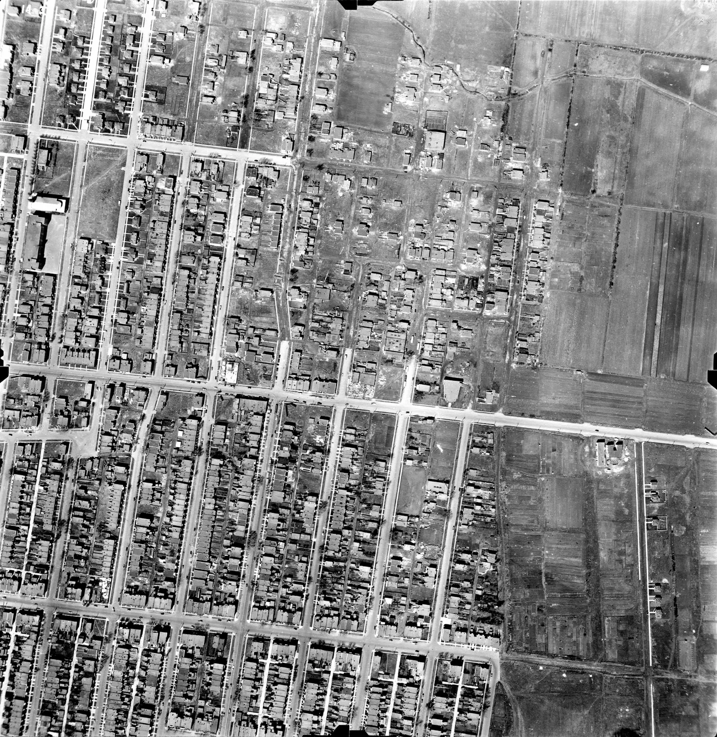
1947 · VM97-3_7P14-39
Saint-Michel, busy street, aerial view, 1947
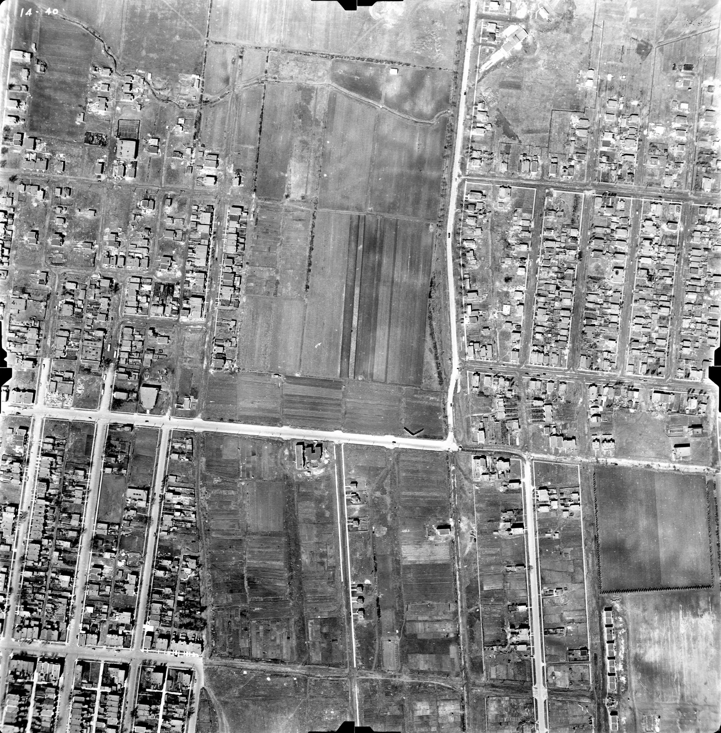
1947 · VM97-3_7P14-40
Saint-Michel, busy street, aerial view, 1947
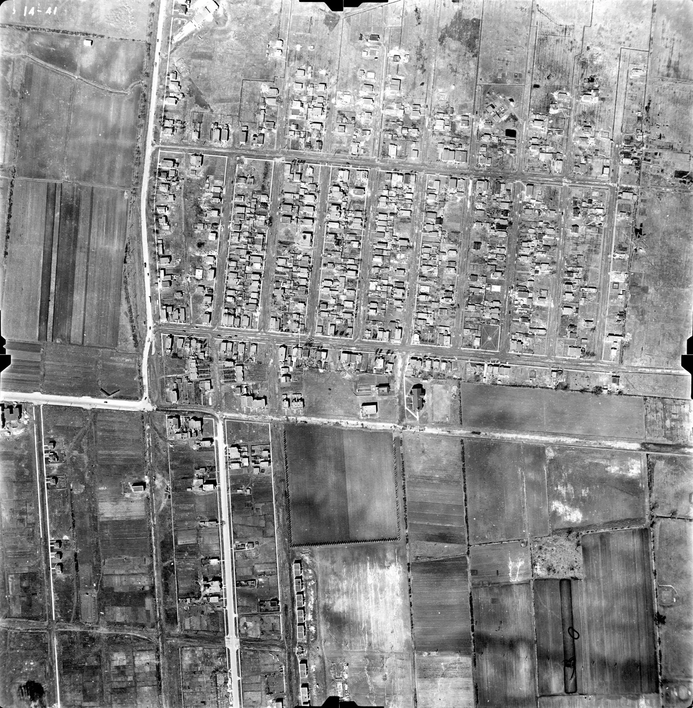
1947 · VM97-3_7P14-41
Street lined with cars, Saint-Michel, aerial view, 1947
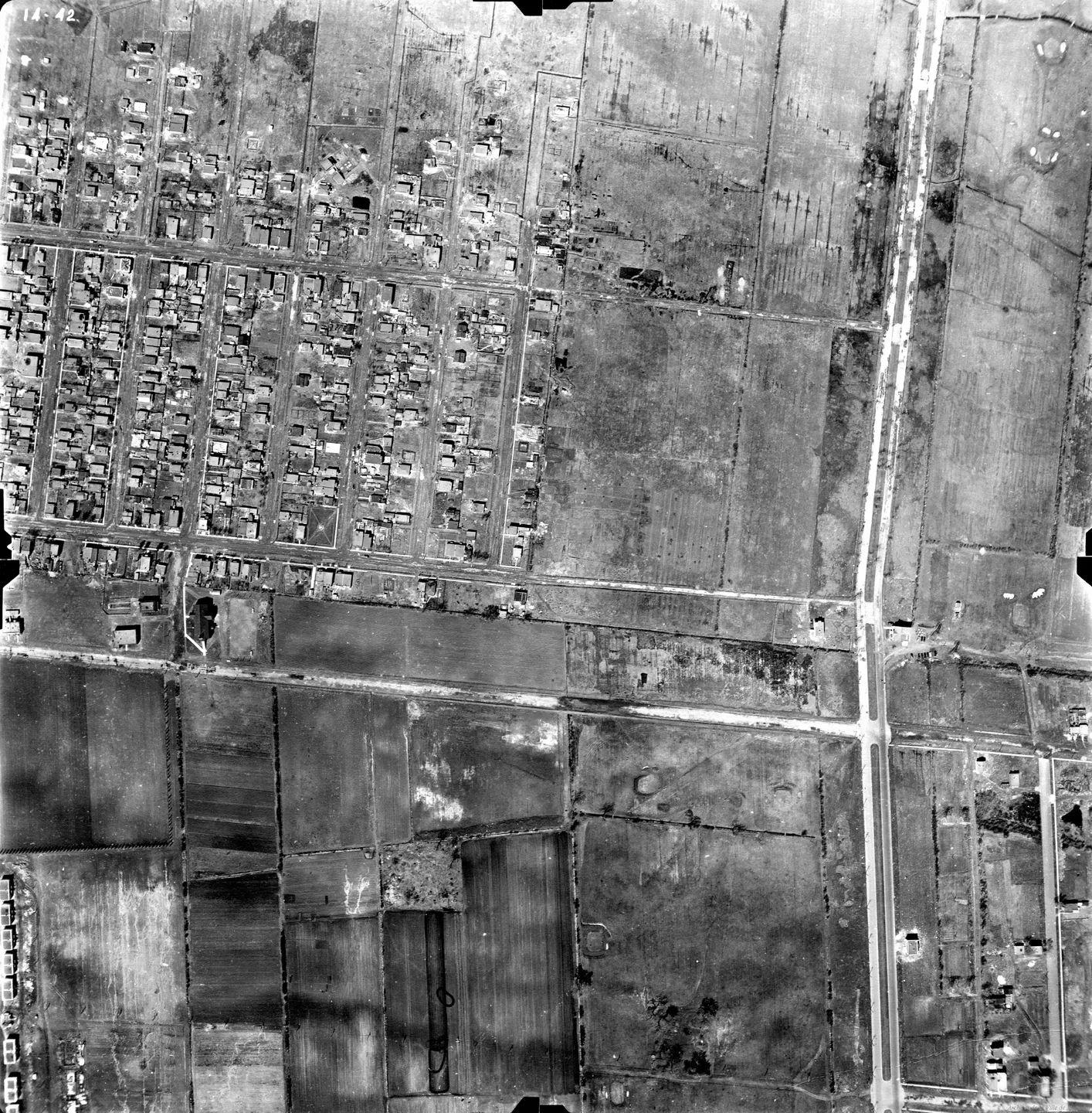
1947 · VM97-3_7P14-42
Street lined with cars, Saint-Michel, aerial view, 1947
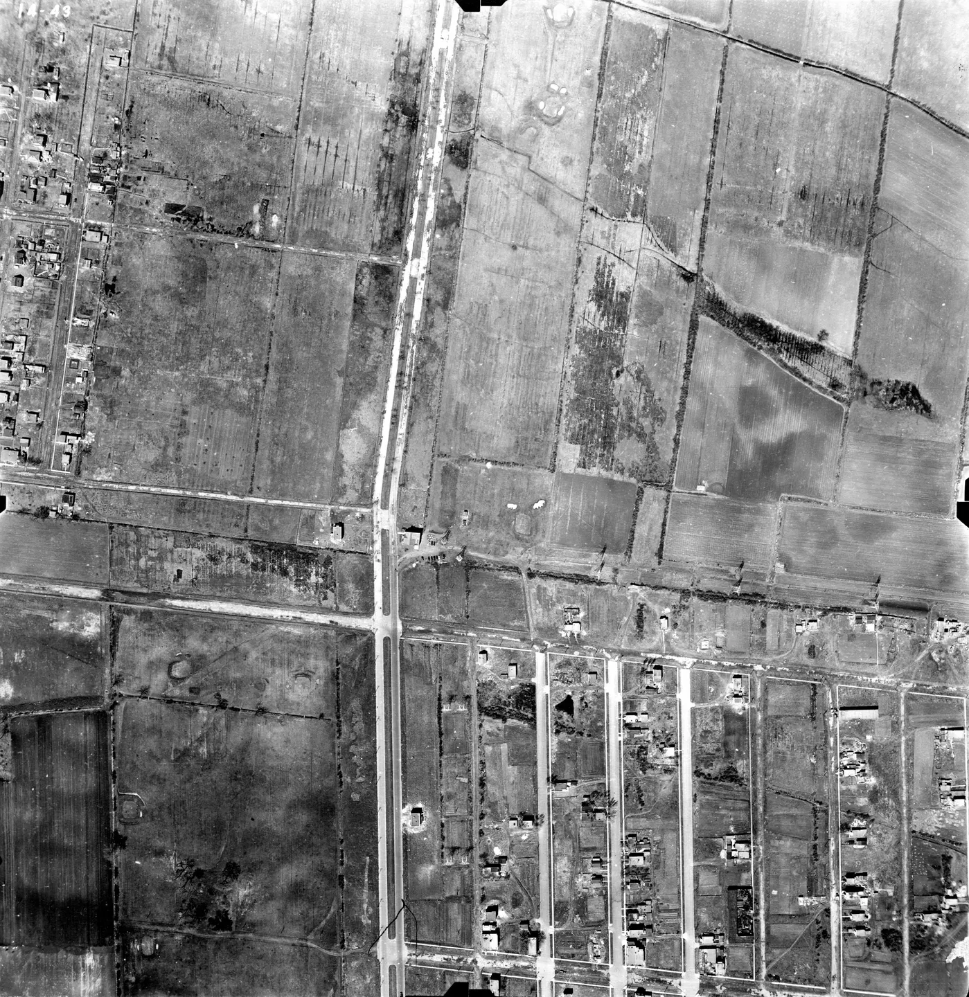
1947 · VM97-3_7P14-43
Street lined with cars, Saint-Michel, aerial view, 1947
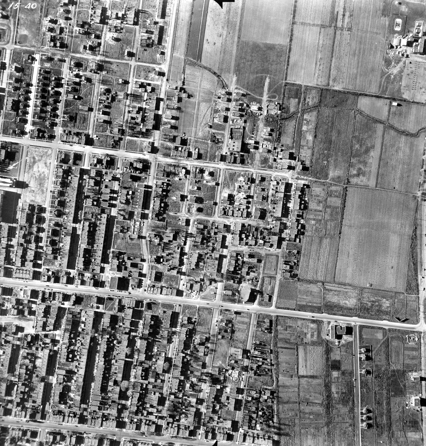
1947 · VM97-3_7P15-40
Street with parked cars, Saint-Michel, aerial view, 1947
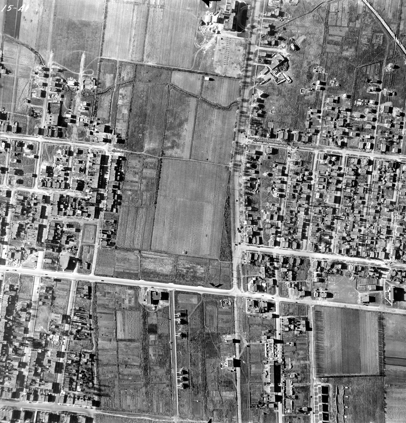
1947 · VM97-3_7P15-41
Saint‑Michel street, aerial view, 1947
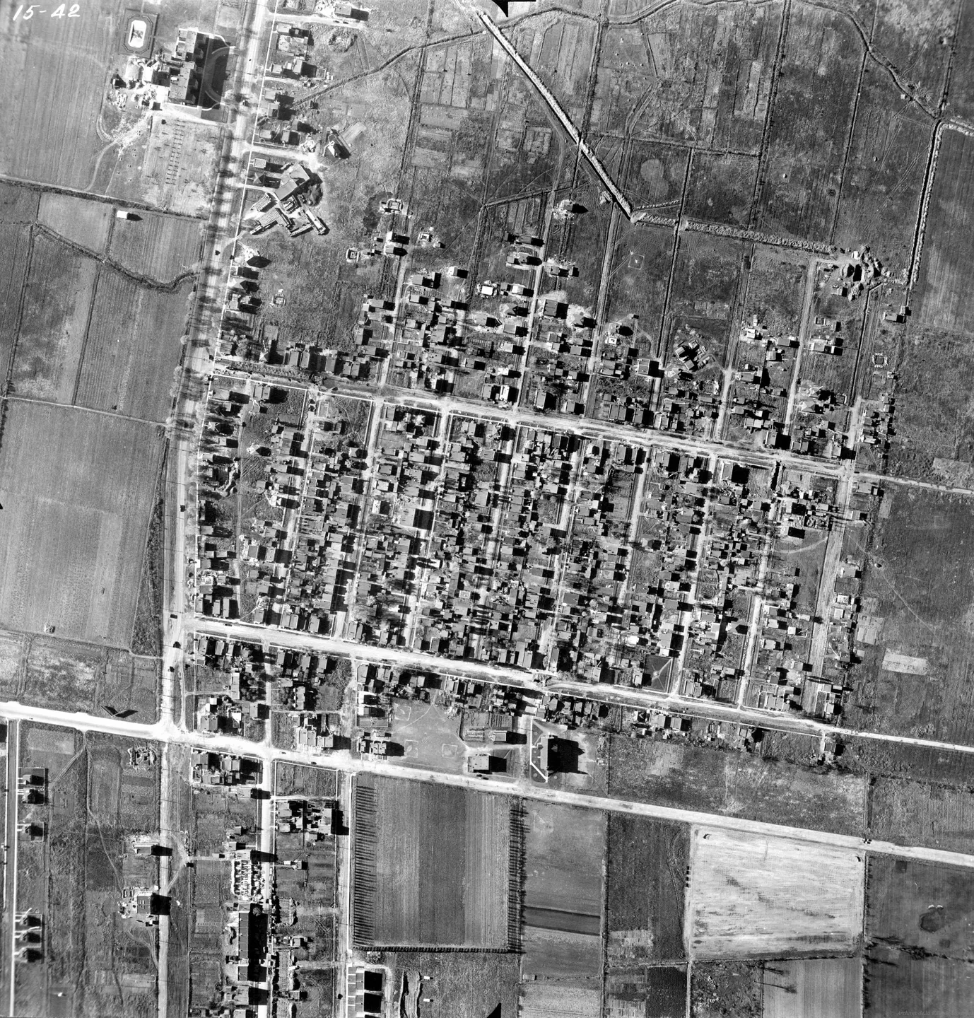
1947 · VM97-3_7P15-42
Saint‑Michel street, aerial view, 1947
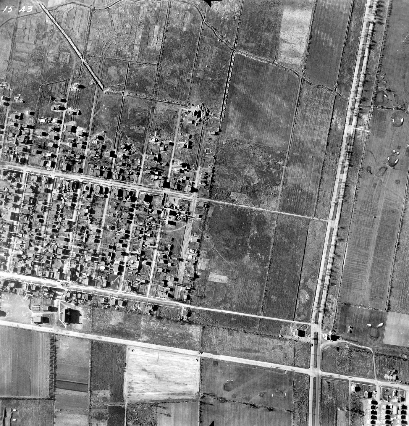
1947 · VM97-3_7P15-43
Street with buildings, Saint-Michel, aerial view, 1947
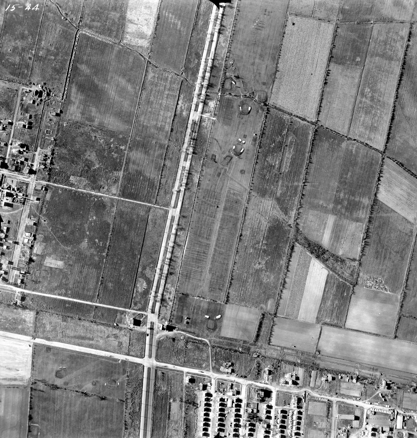
1947 · VM97-3_7P15-44
Rural road with houses, Saint-Michel, aerial view, 1947
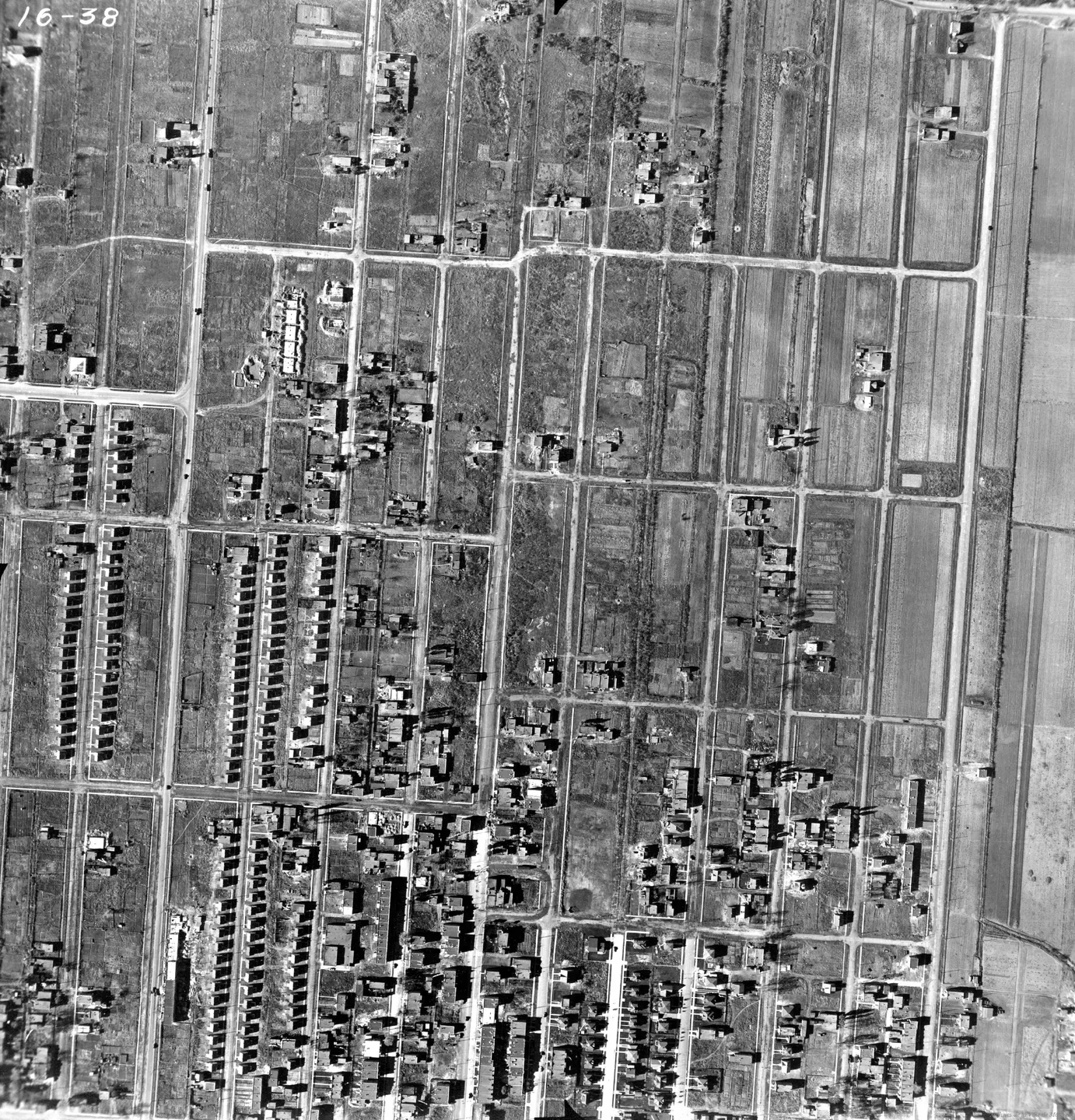
1947 · VM97-3_7P16-38
Street with houses, Saint-Michel, aerial view, 1947
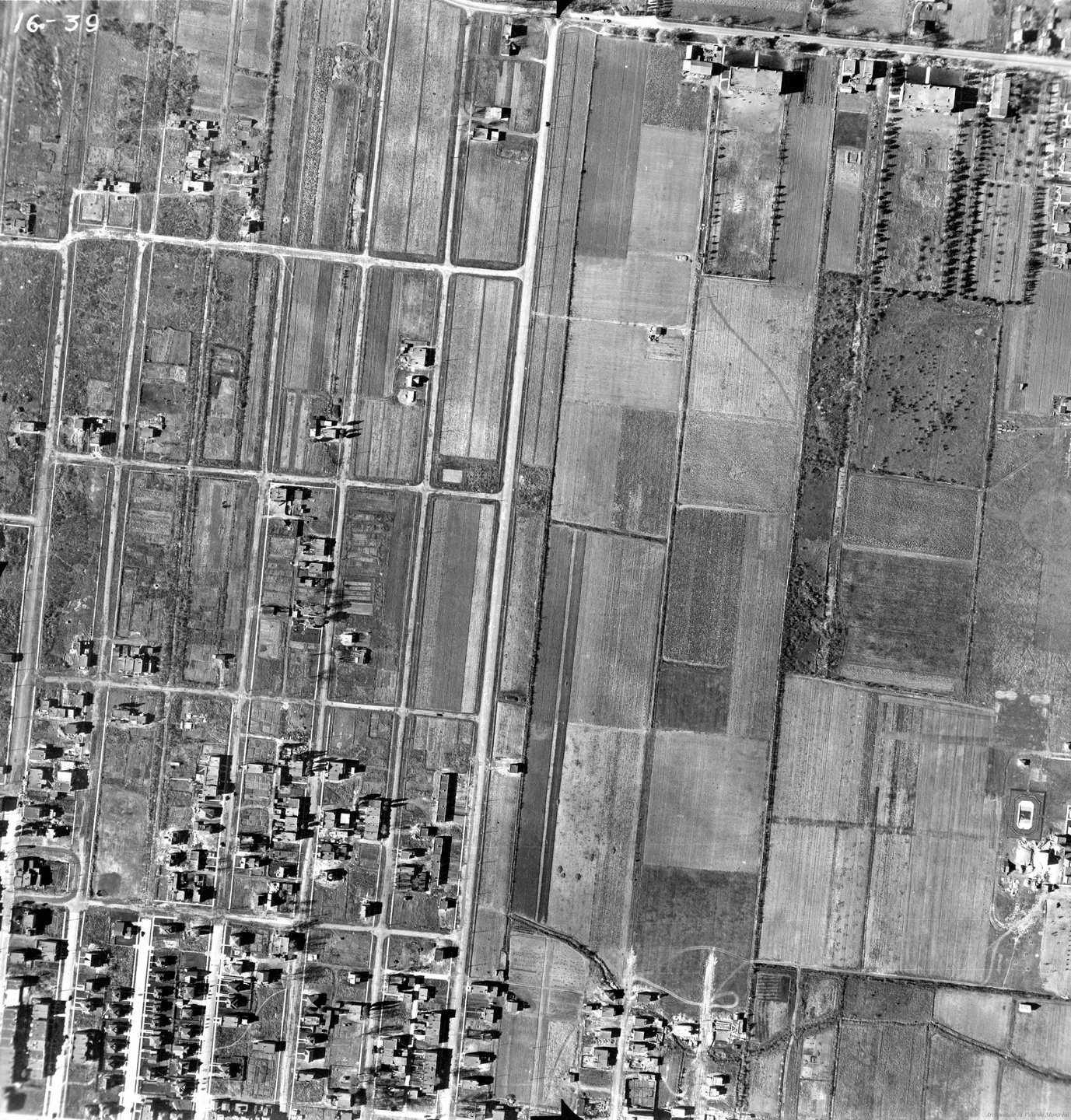
1947 · VM97-3_7P16-39
Town street, Saint-Michel, aerial view, 1947
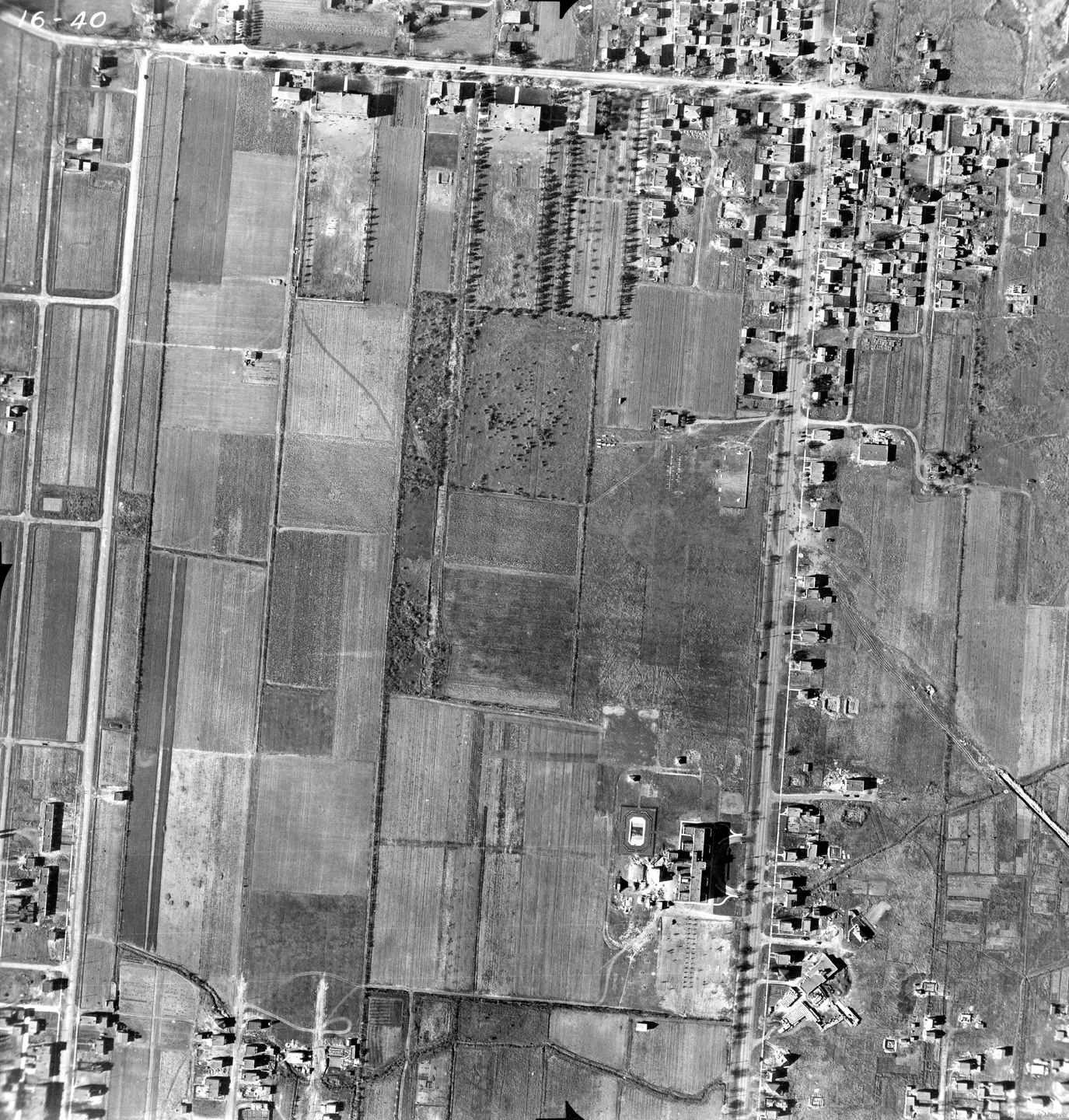
1947 · VM97-3_7P16-40
Saint-Michel street with cars, aerial view, 1947
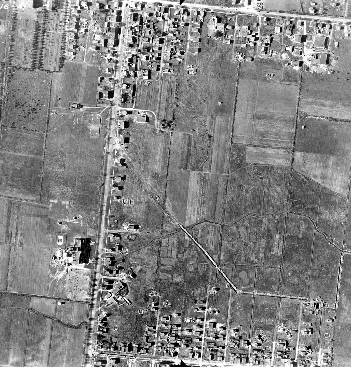
1947 · VM97-3_7P16-41
Saint-Michel street with cars, aerial view, 1947
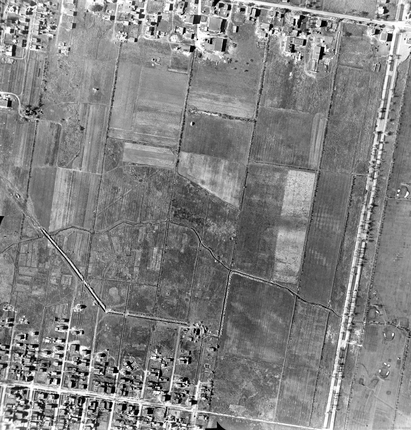
1947 · VM97-3_7P16-42
Field with road and trees, Saint-Michel, aerial view, 1947
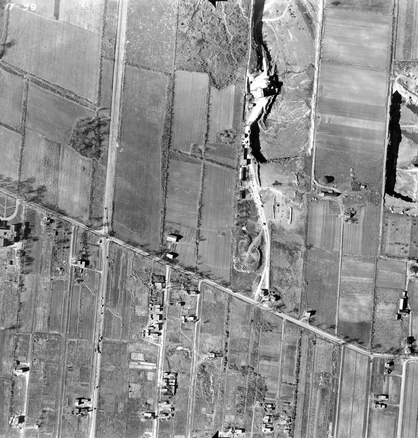
1947 · VM97-3_7P17-39
Rural bridge and farm, Saint-Michel, aerial view, 1947
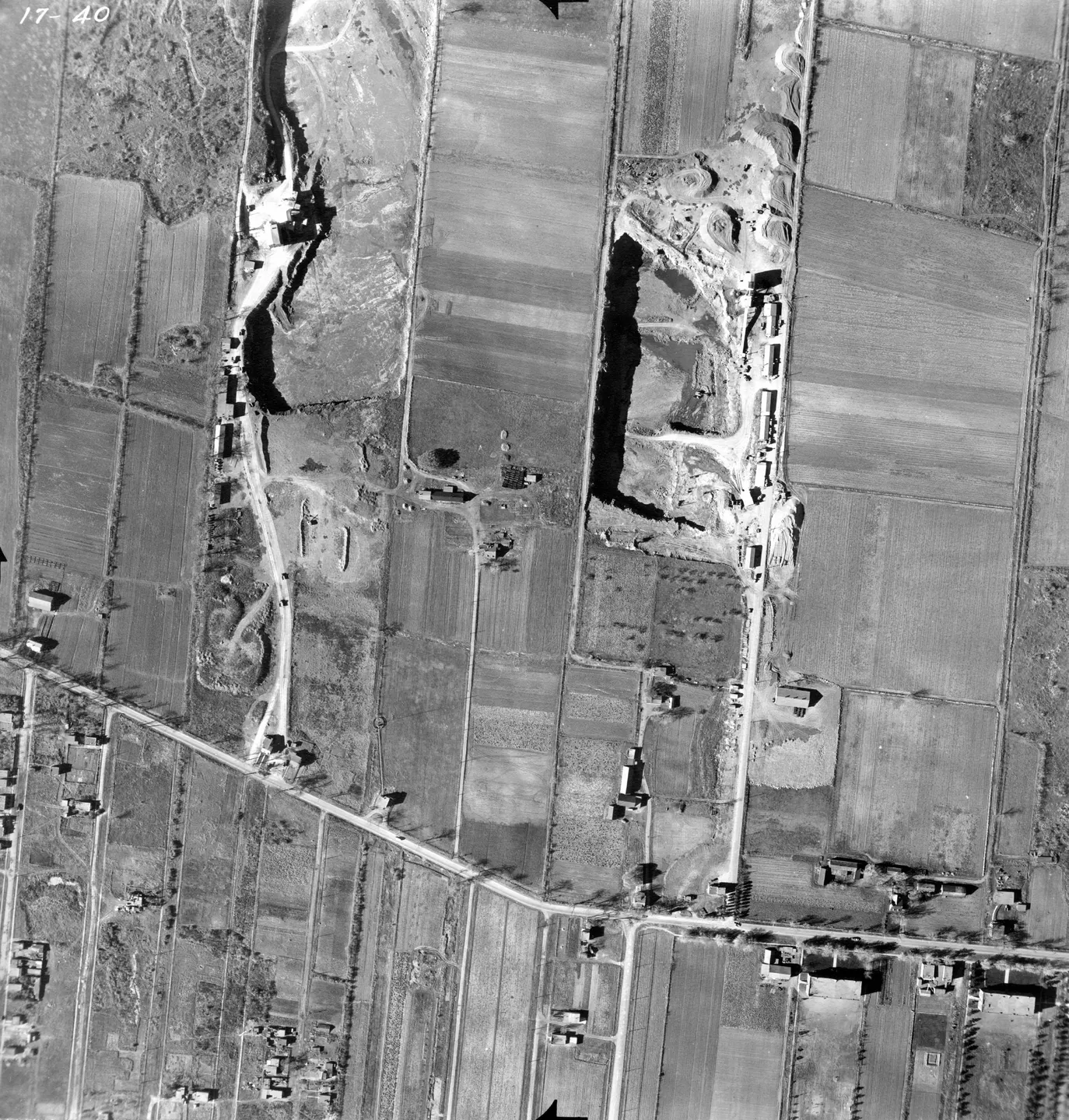
1947 · VM97-3_7P17-40
Rural road in Saint‑Michel, aerial view, 1947
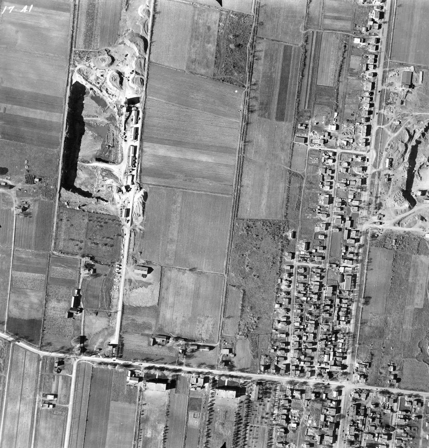
1947 · VM97-3_7P17-41
Street with park, Saint-Michel, aerial view, 1947
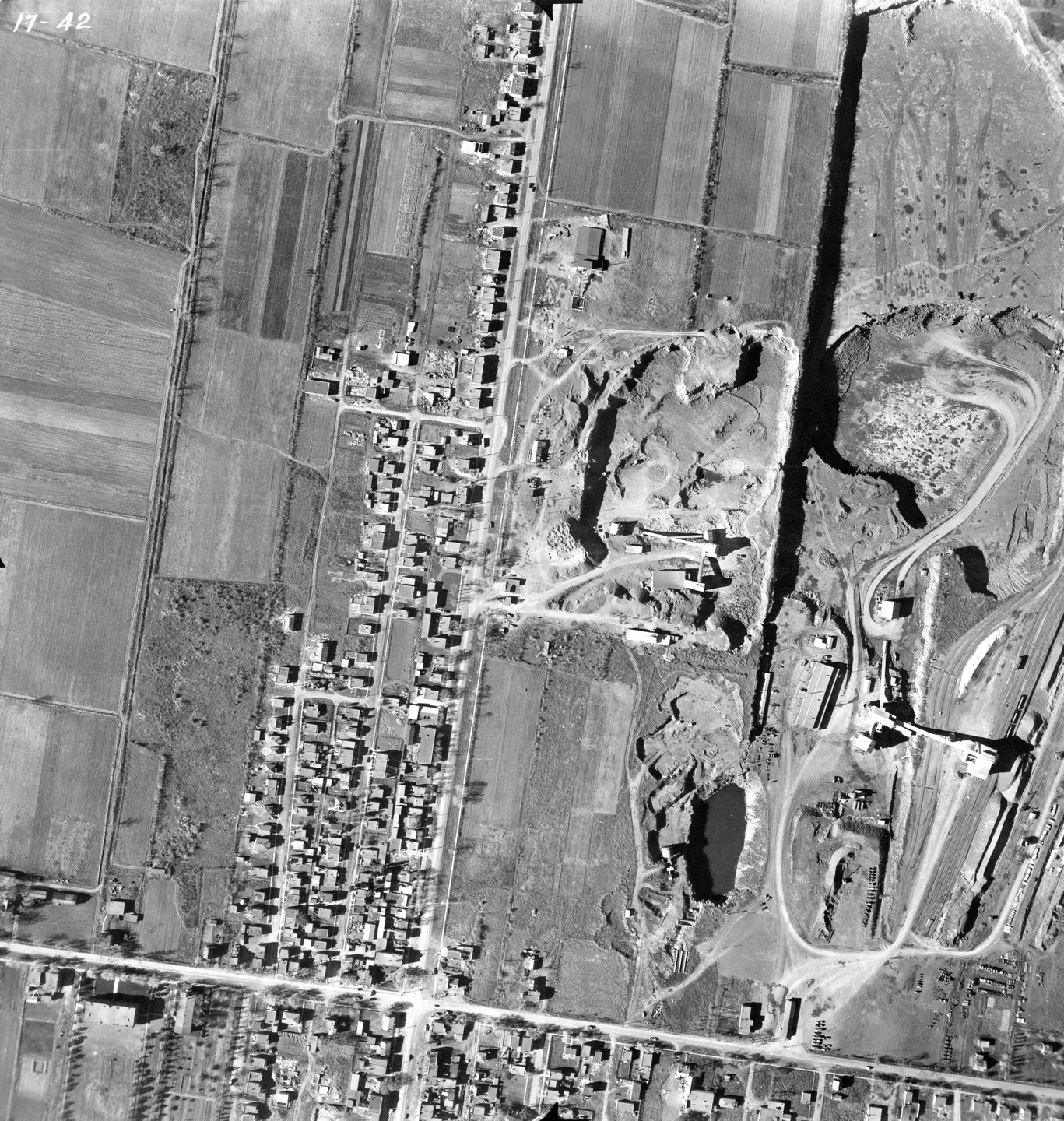
1947 · VM97-3_7P17-42
Street lined with houses and cars, Saint-Michel, aerial view, 1947
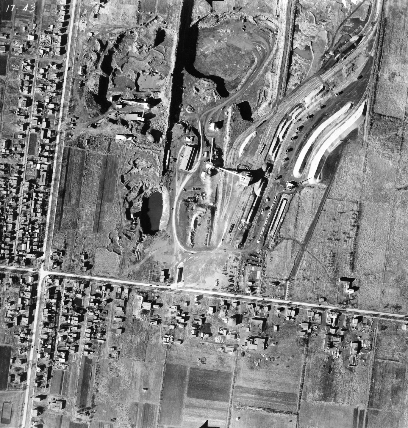
1947 · VM97-3_7P17-43
Train yard in a hangar, Saint-Michel, aerial view, 1947
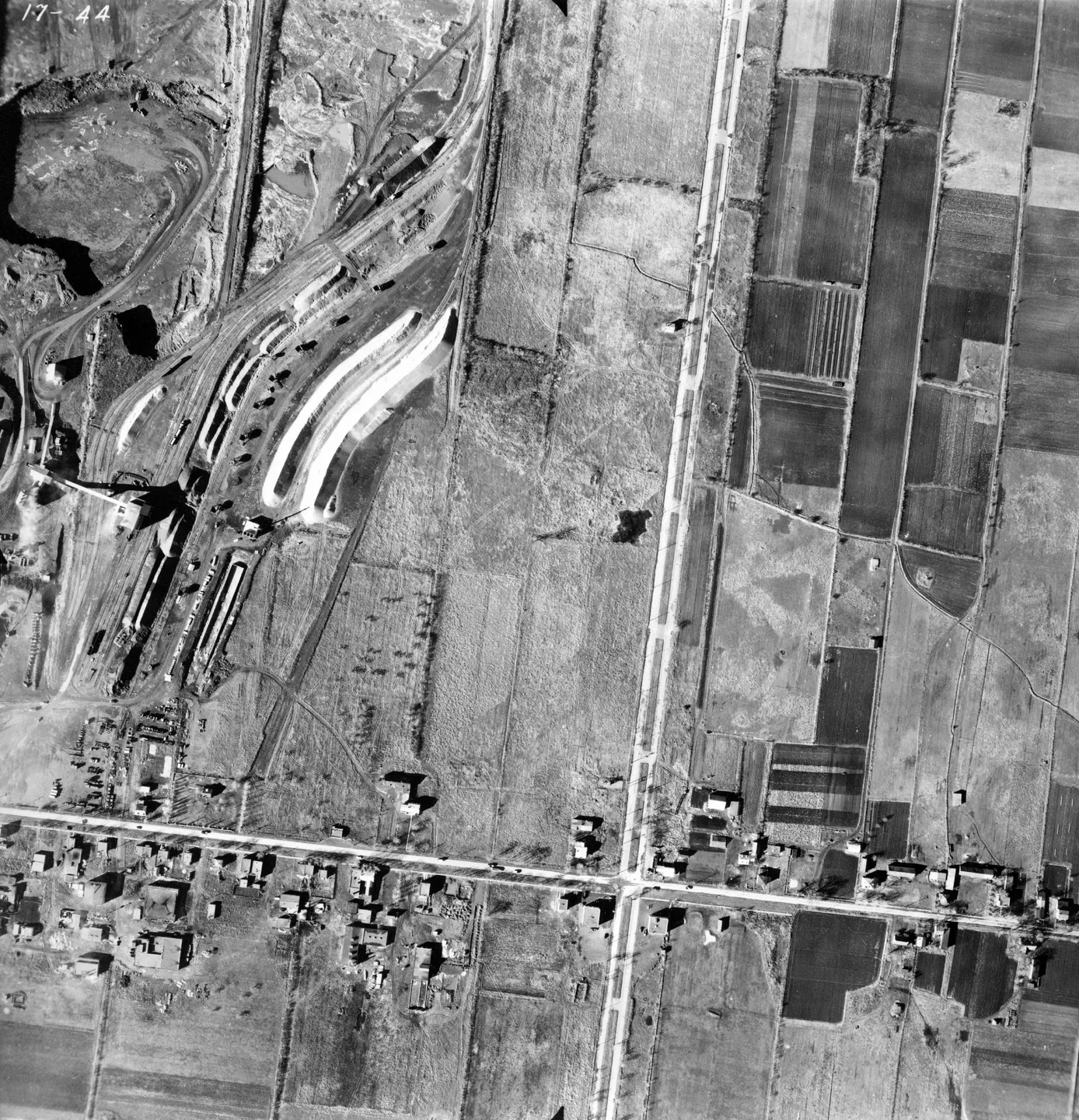
1947 · VM97-3_7P17-44
Rural road with bridge, Saint-Michel, aerial view, 1947
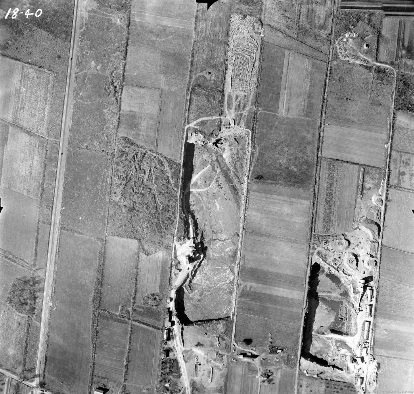
1947 · VM97-3_7P18-40
Rural field and dirt road, Saint-Michel, aerial view, 1947
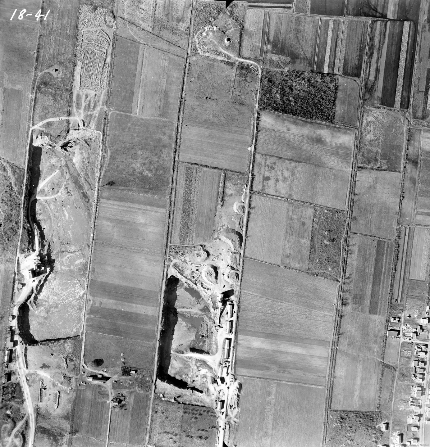
1947 · VM97-3_7P18-41
Rural landscape, Saint-Michel, aerial view, 1947
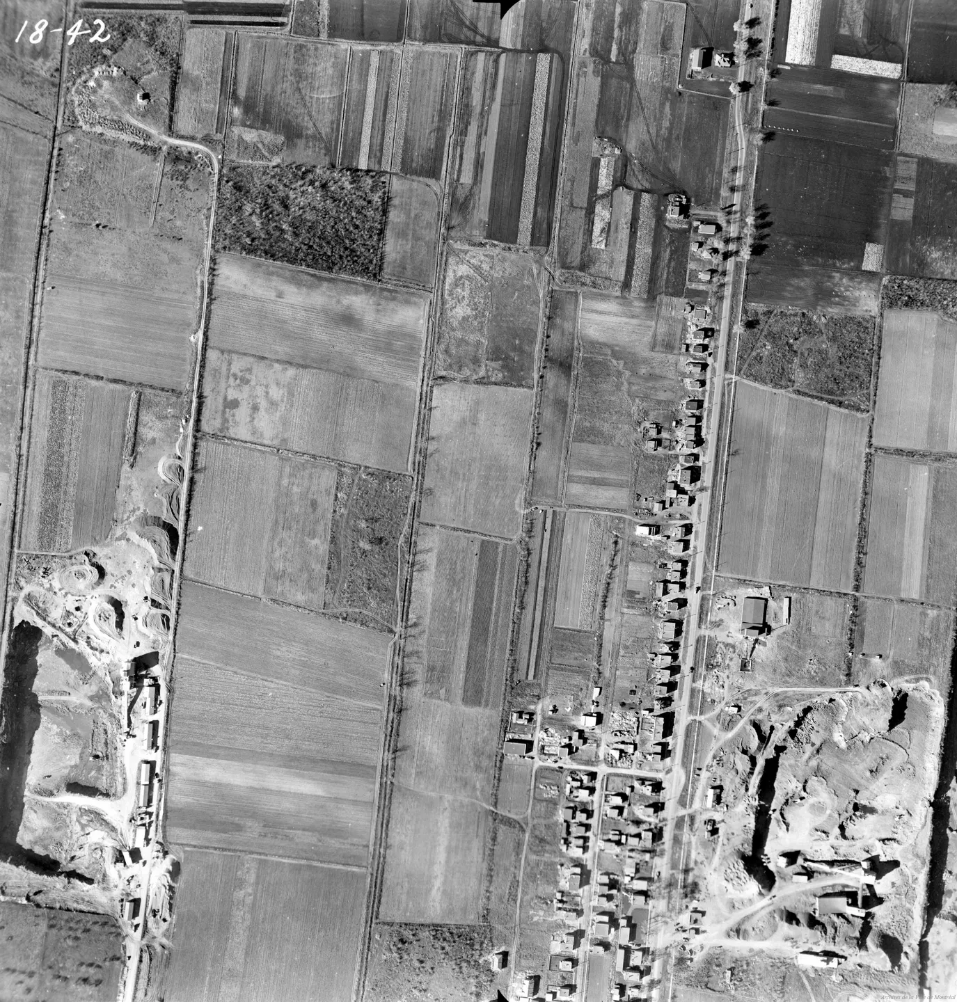
1947 · VM97-3_7P18-42
Rural landscape, Saint-Michel, aerial view, 1947
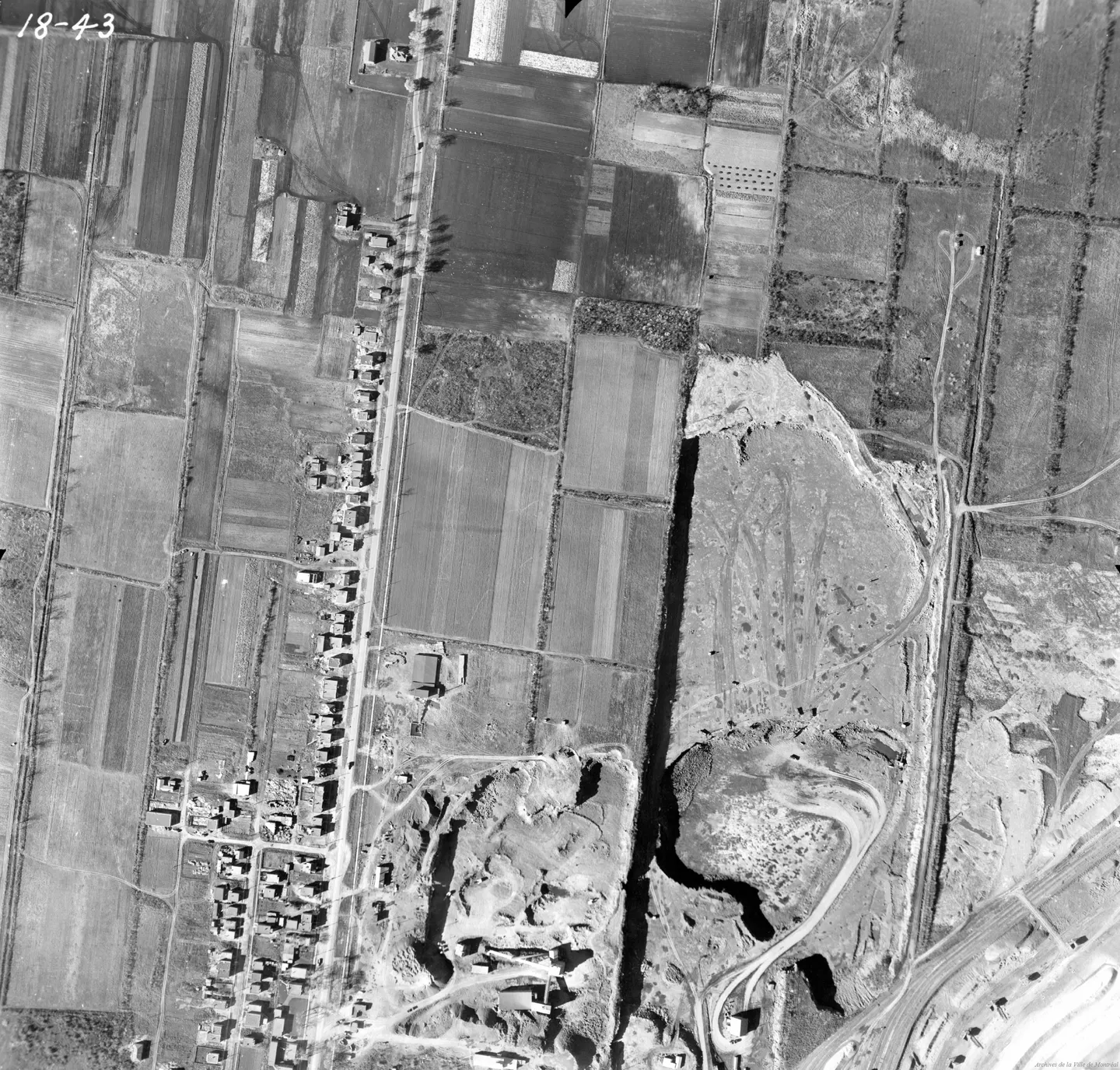
1947 · VM97-3_7P18-43
Rural road with cars and trucks, Saint-Michel, aerial view, 1947
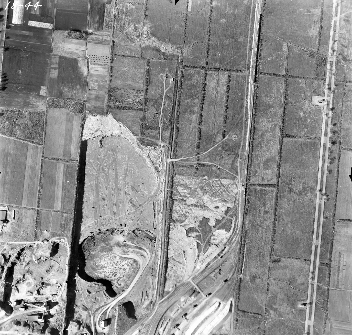
1947 · VM97-3_7P18-44
Train crossing a rural road, Saint-Michel, aerial view, 1947
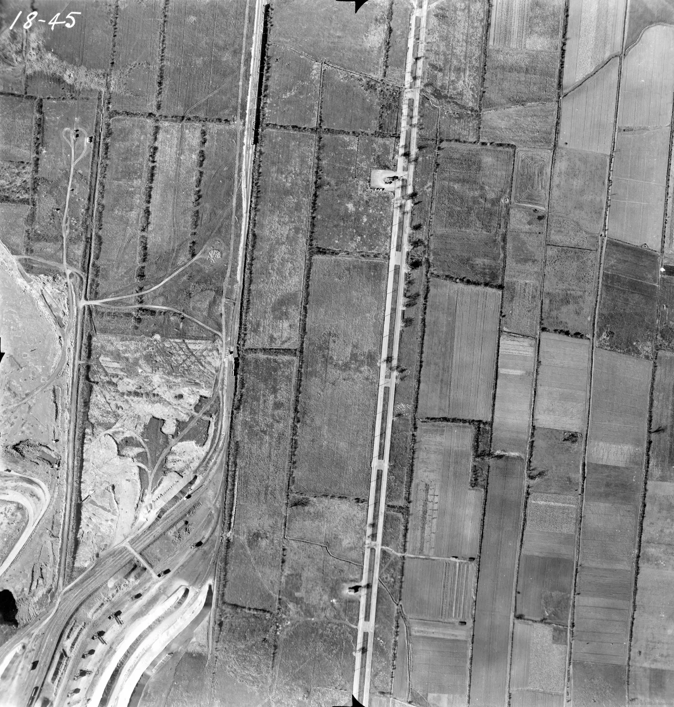
1947 · VM97-3_7P18-45
Rural road lined with trees, Saint-Michel, aerial view, 1947
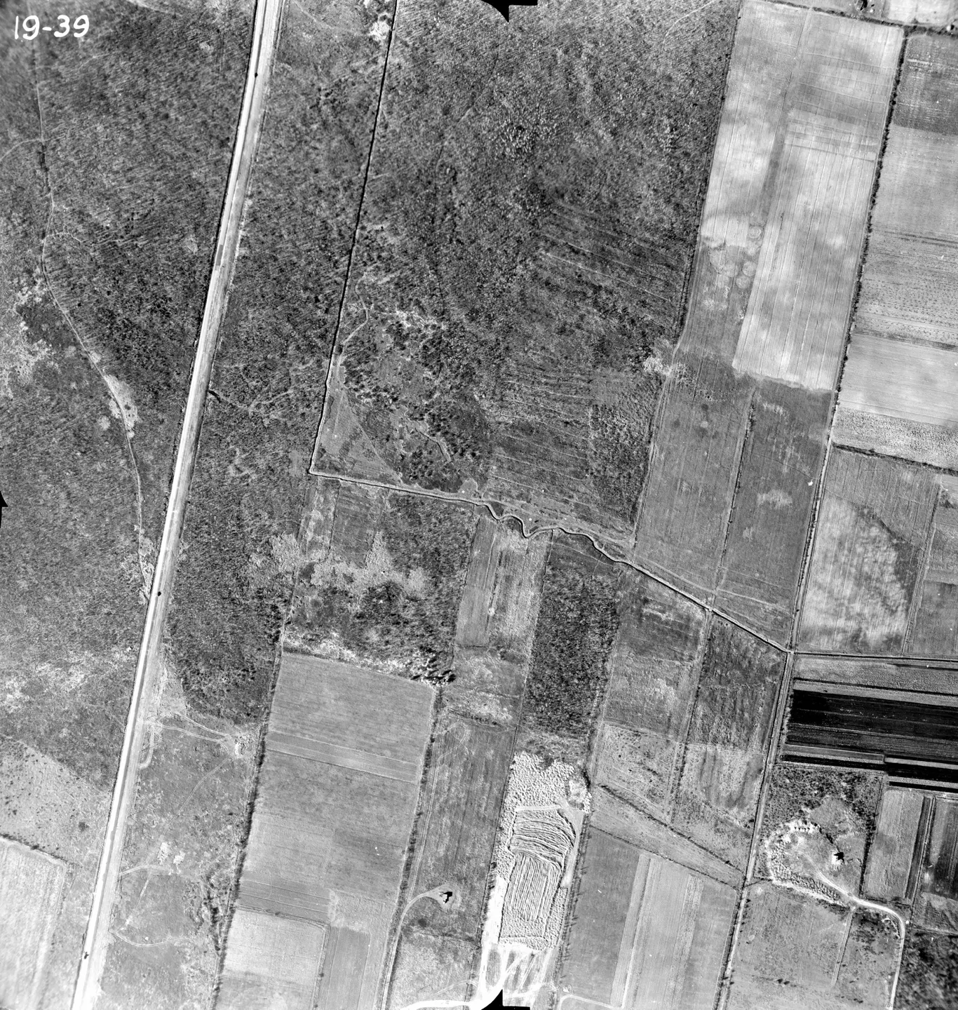
1947 · VM97-3_7P19-39
Rural road with dusty road, Saint-Michel, aerial view, 1947
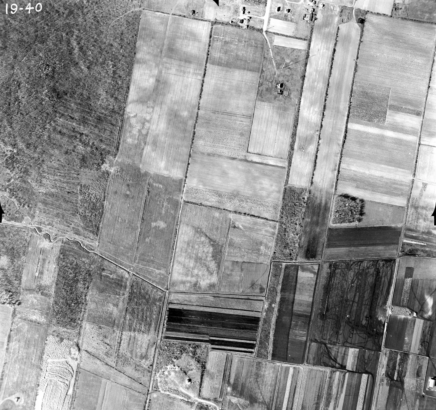
1947 · VM97-3_7P19-40
Rural field in Saint-Michel, aerial view, 1947
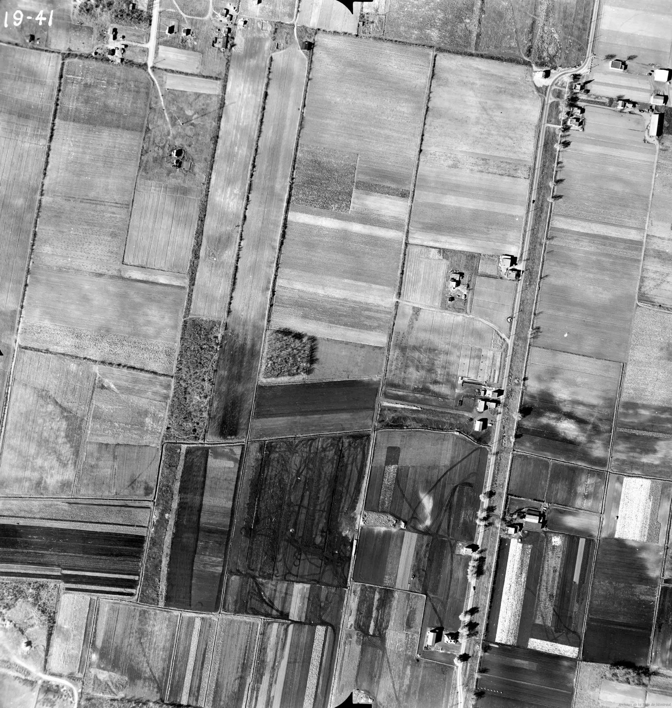
1947 · VM97-3_7P19-41
Rural field in Saint-Michel, aerial view, 1947
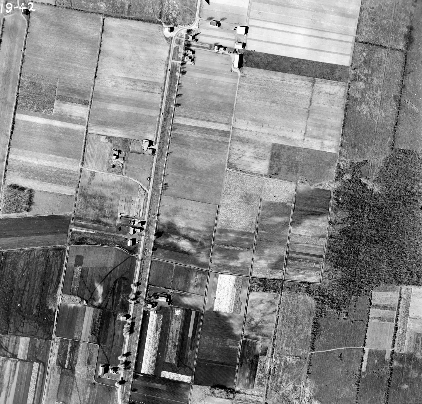
1947 · VM97-3_7P19-42
Rural road with trucks, Saint-Michel, aerial view, 1947
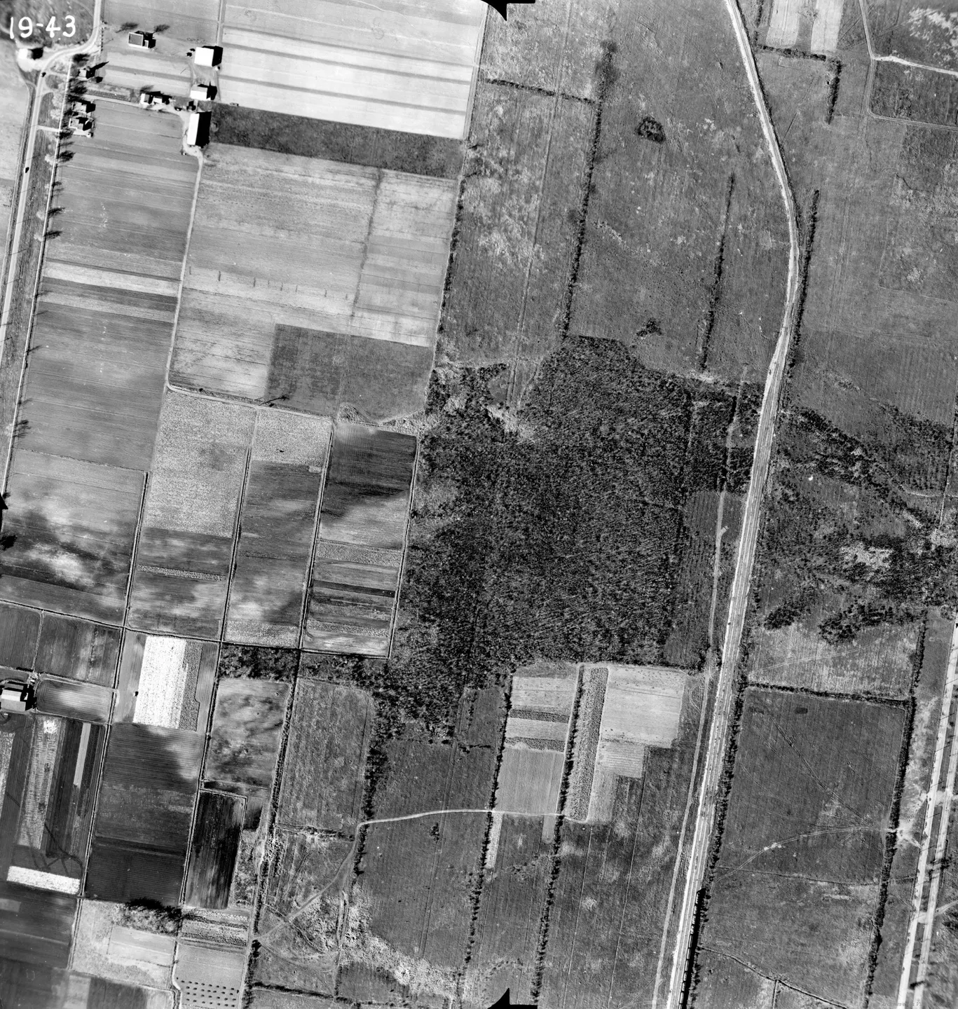
1947 · VM97-3_7P19-43
Rural road without people, Saint-Michel, aerial view, 1947
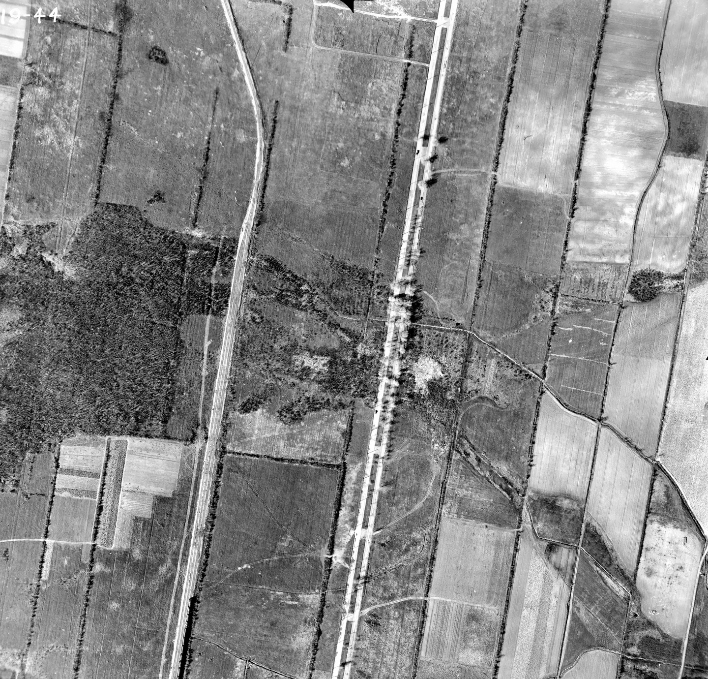
1947 · VM97-3_7P19-44
Rural road with trees, Saint-Michel, aerial view, 1947
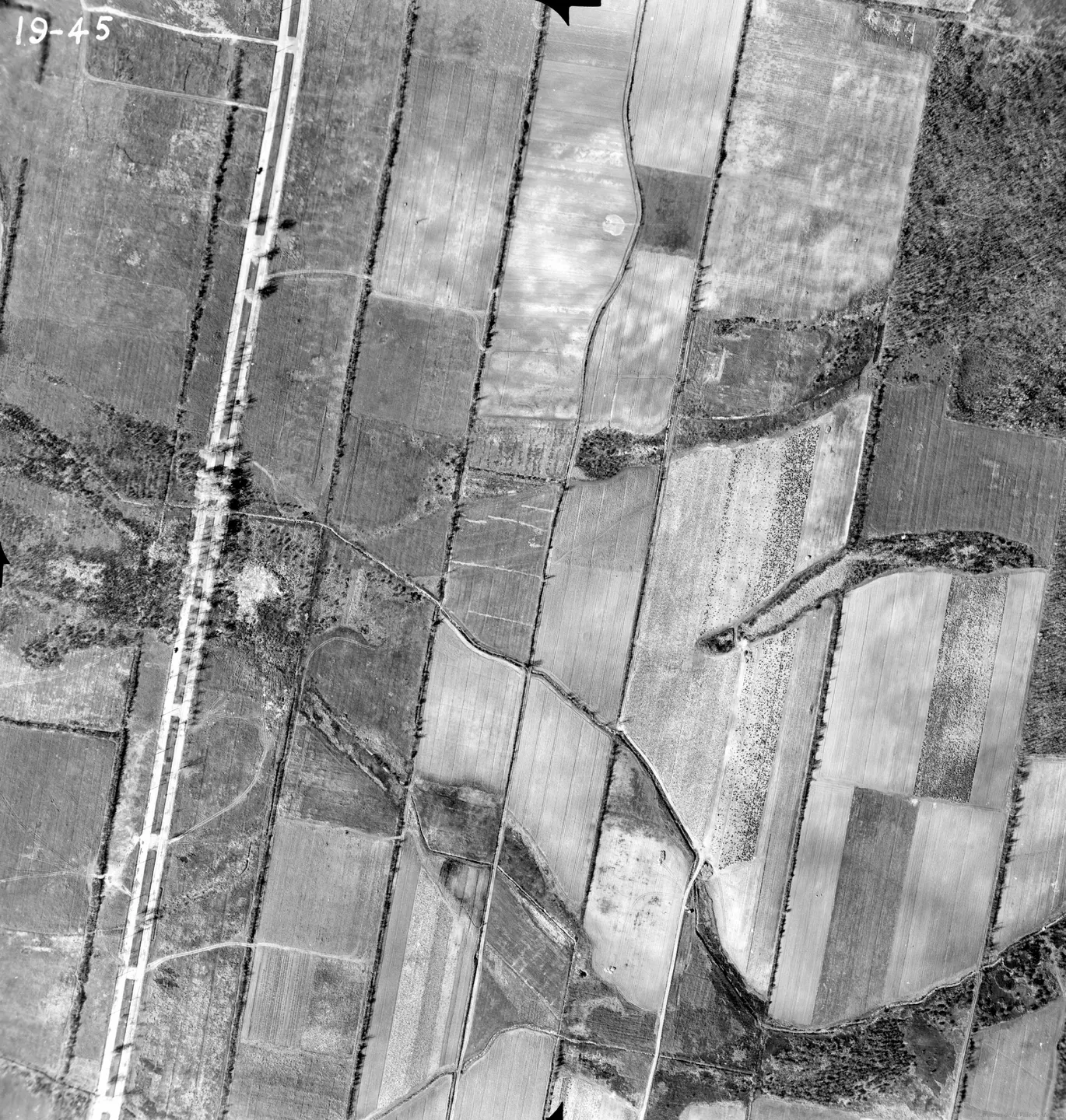
1947 · VM97-3_7P19-45
Rural road, Saint-Michel, aerial view, 1947
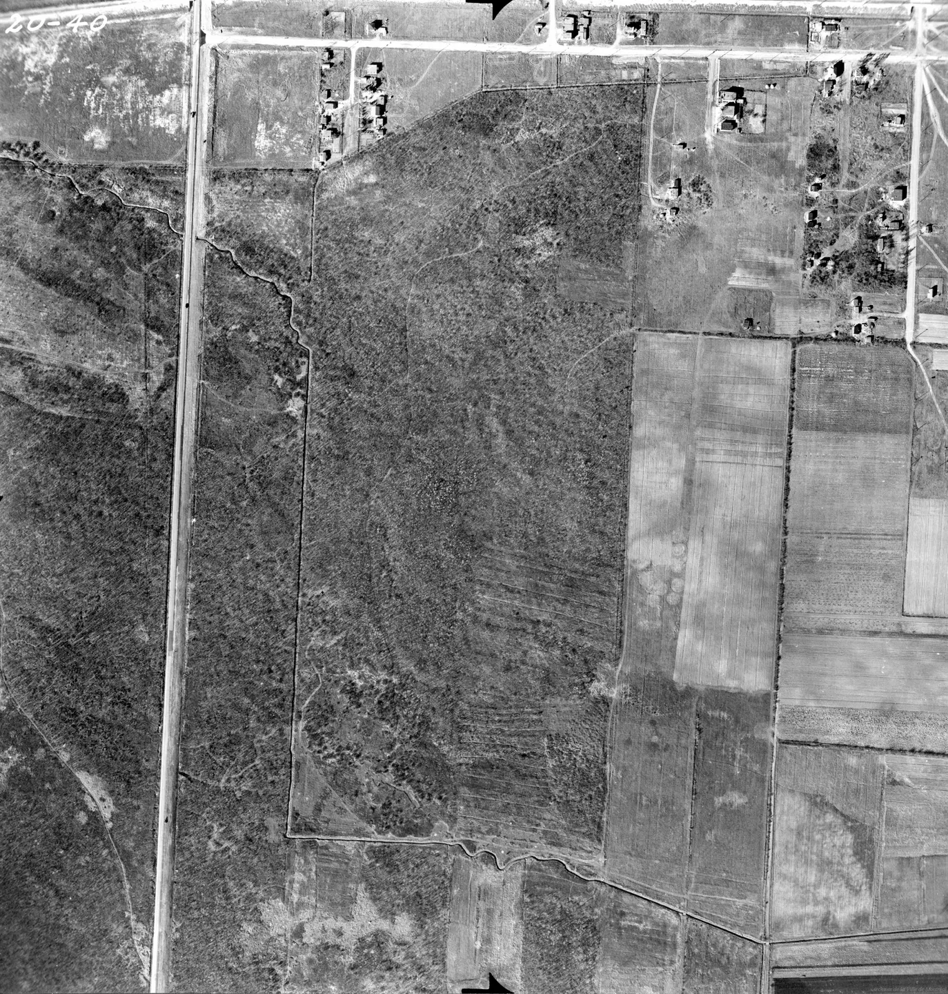
1947 · VM97-3_7P20-40
Rural road with houses, Saint-Michel, aerial view, 1947
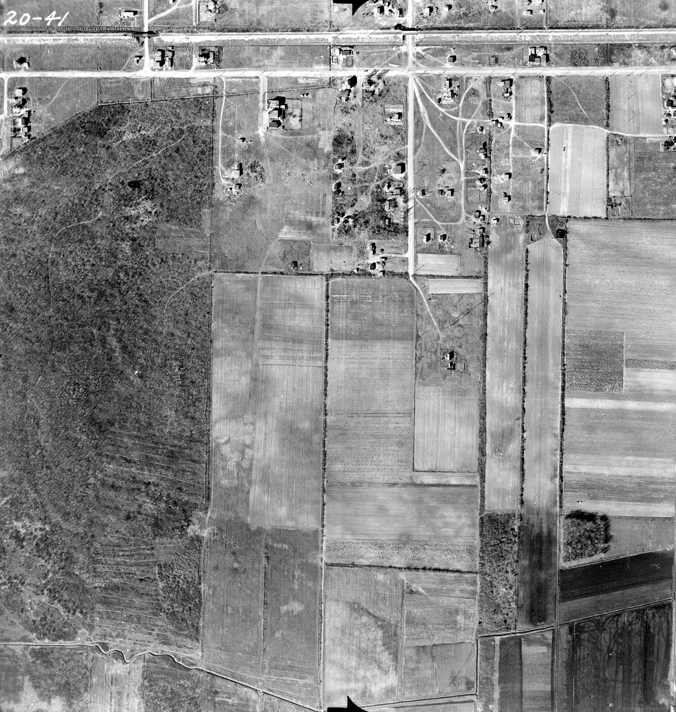
1947 · VM97-3_7P20-41
Rural street with houses and trees, Saint-Michel, aerial view, 1947
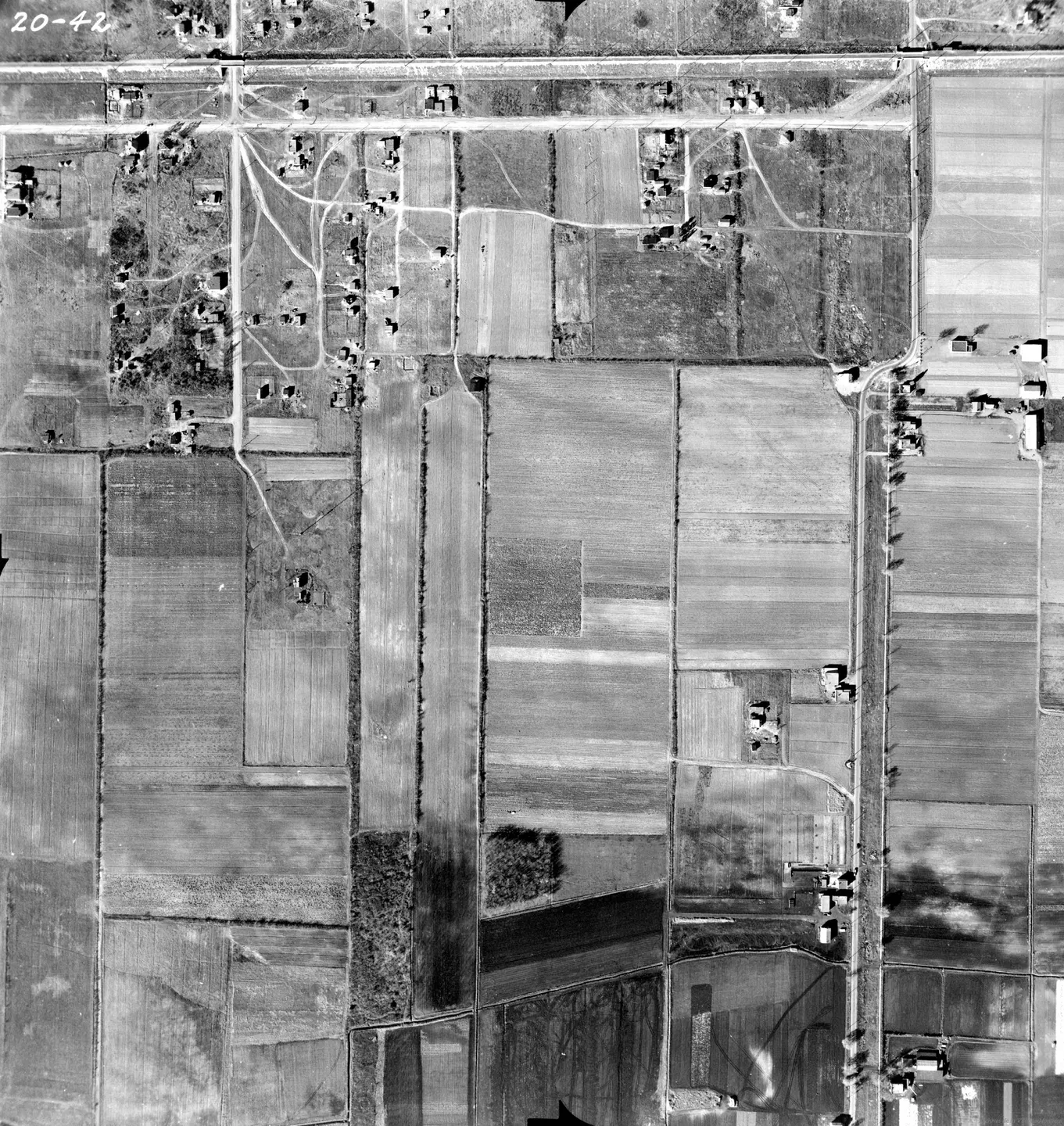
1947 · VM97-3_7P20-42
Rural area with road and houses, Saint-Michel, aerial view, 1947
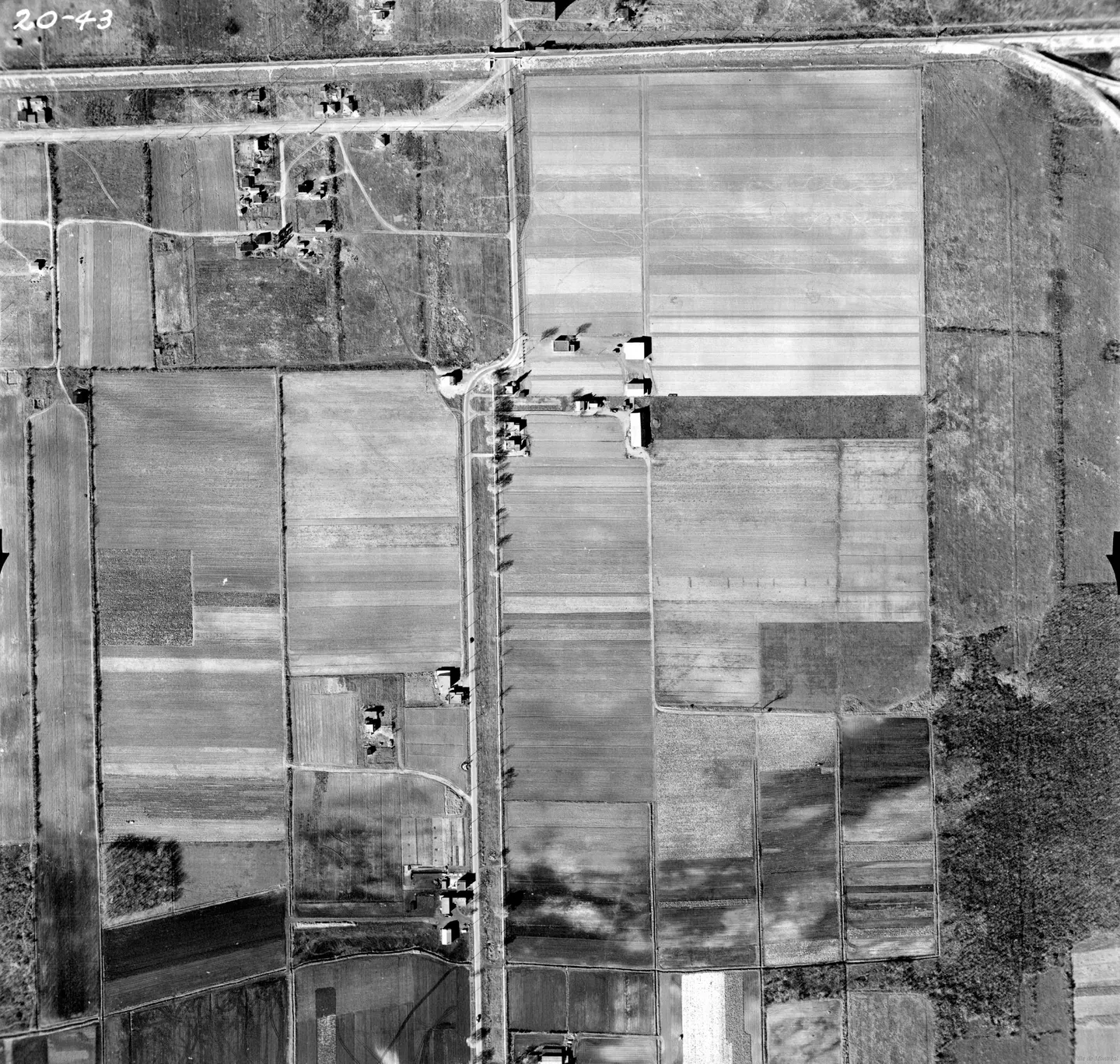
1947 · VM97-3_7P20-43
Rural farm, Saint-Michel, aerial view, 1947
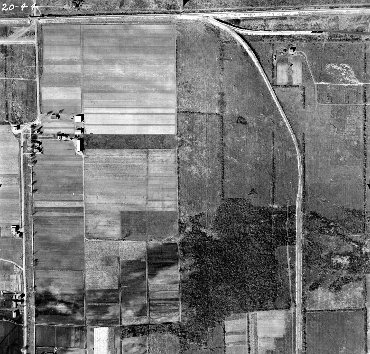
1947 · VM97-3_7P20-44
Farm field, Saint-Michel, aerial view, 1947
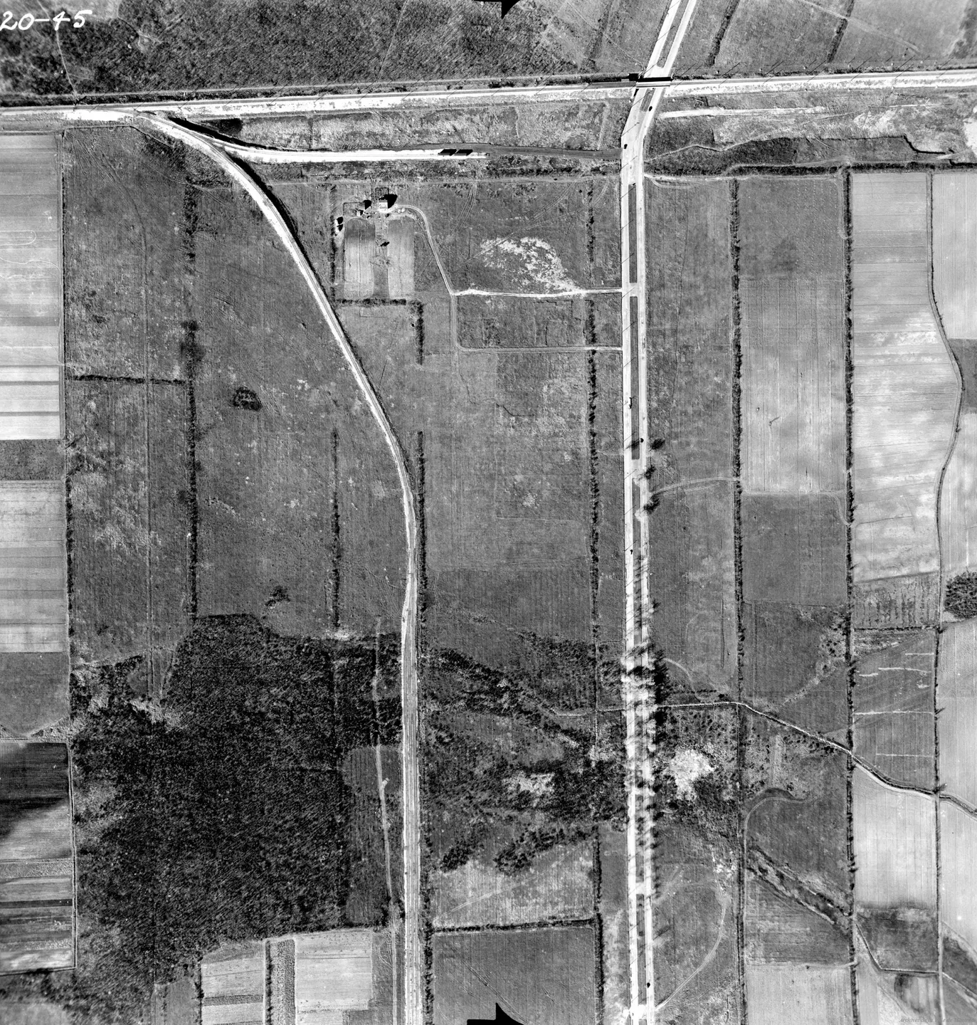
1947 · VM97-3_7P20-45
Rural farmhouse, Saint-Michel, aerial view, 1947
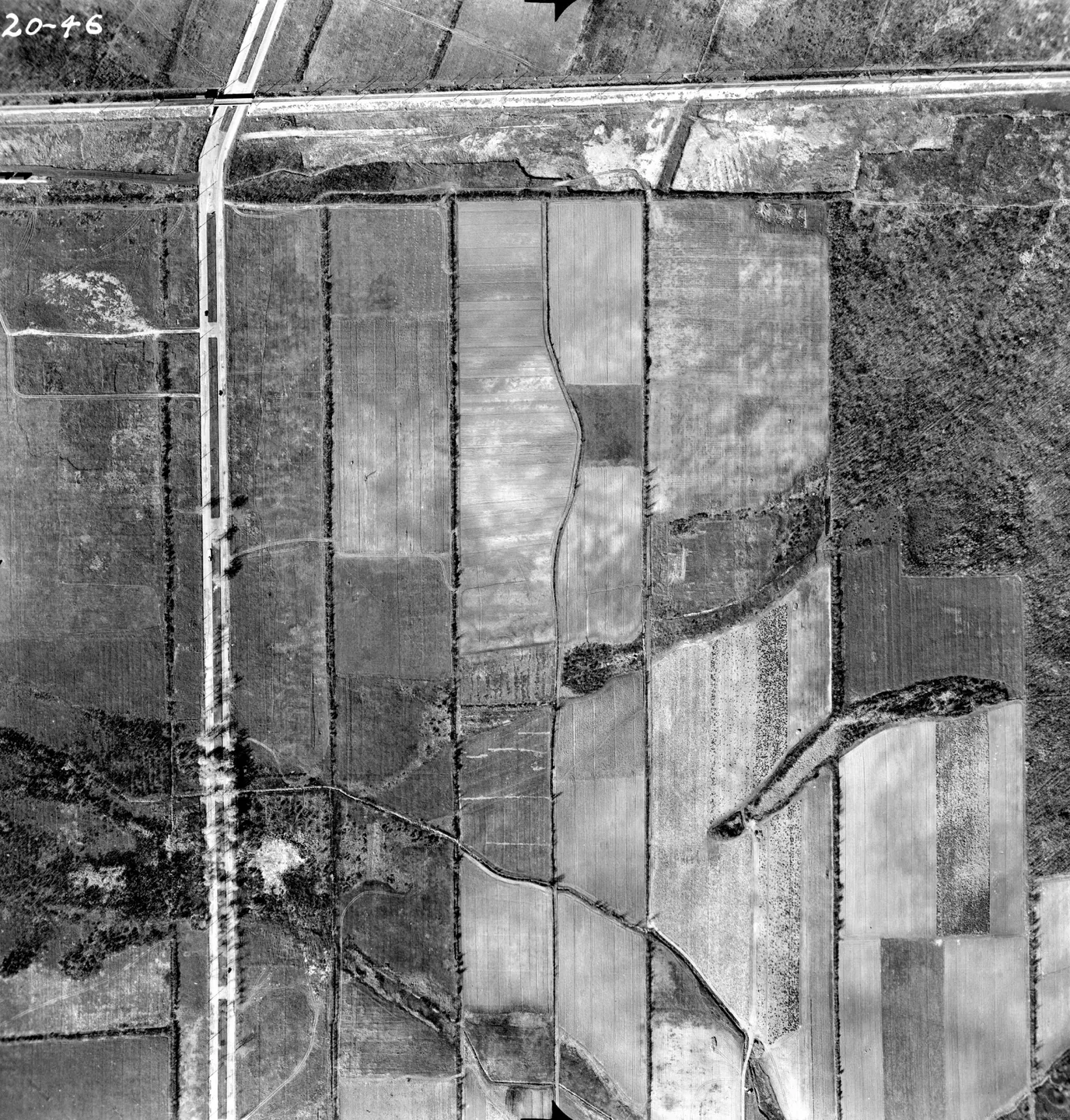
1947 · VM97-3_7P20-46
Open rural road, Saint-Michel, aerial view, 1947
1958 → 1975
17 · vertical photographs · magnifier on each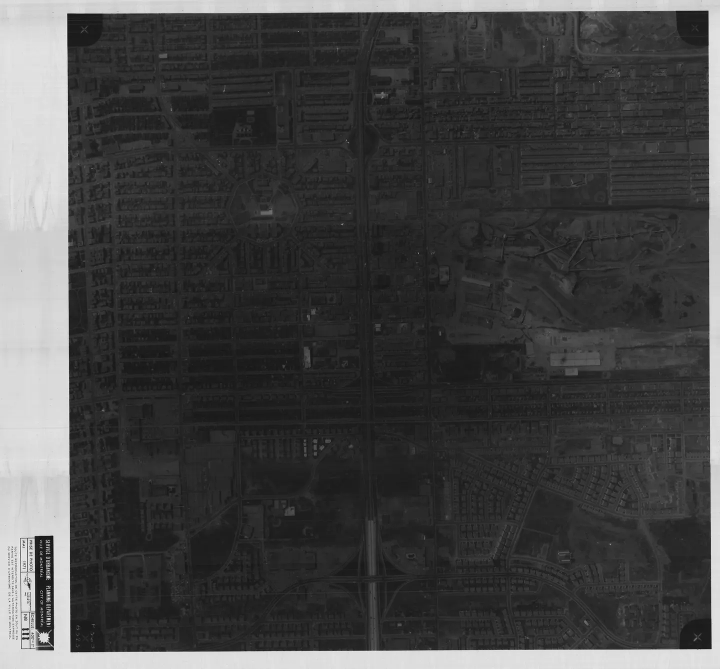
1971 · VM97,S3,D10,P111
Street lined with cars, Saint-Michel, aerial view, 1971
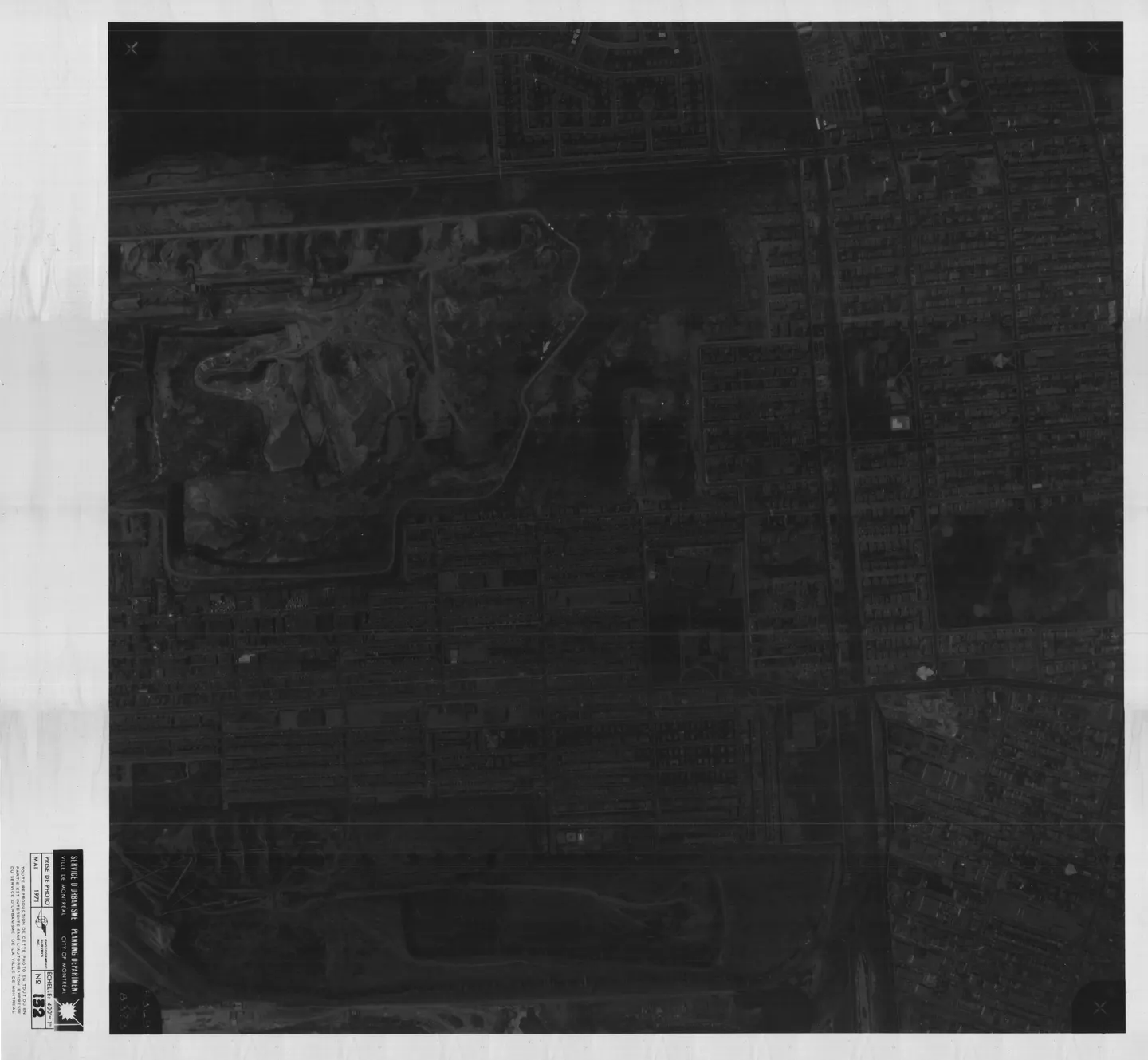
1971 · VM97,S3,D10,P132
Busy urban street, Saint-Michel, aerial view, 1971
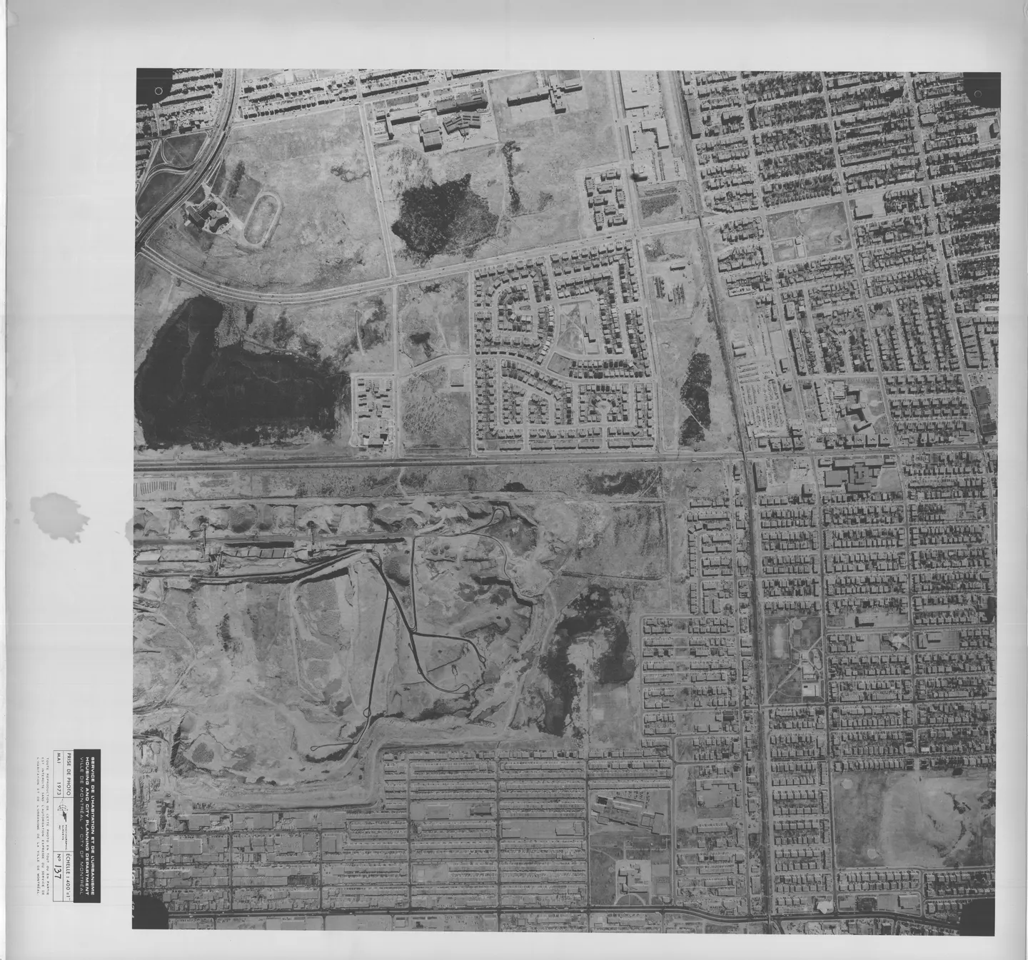
1973 · VM97,S3,D13,P137
Street with park, Saint-Michel, aerial view, 1973
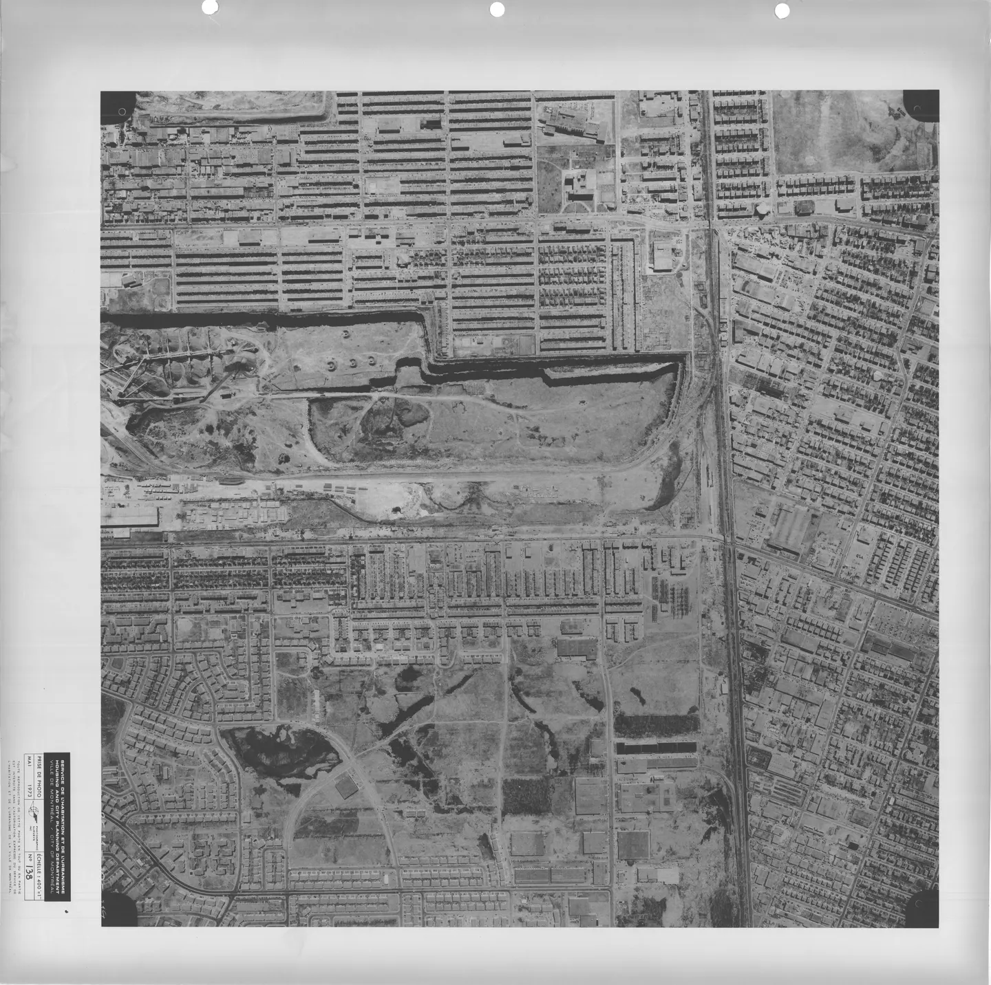
1973 · VM97,S3,D13,P138
Empty street, Saint-Michel, aerial view, 1973
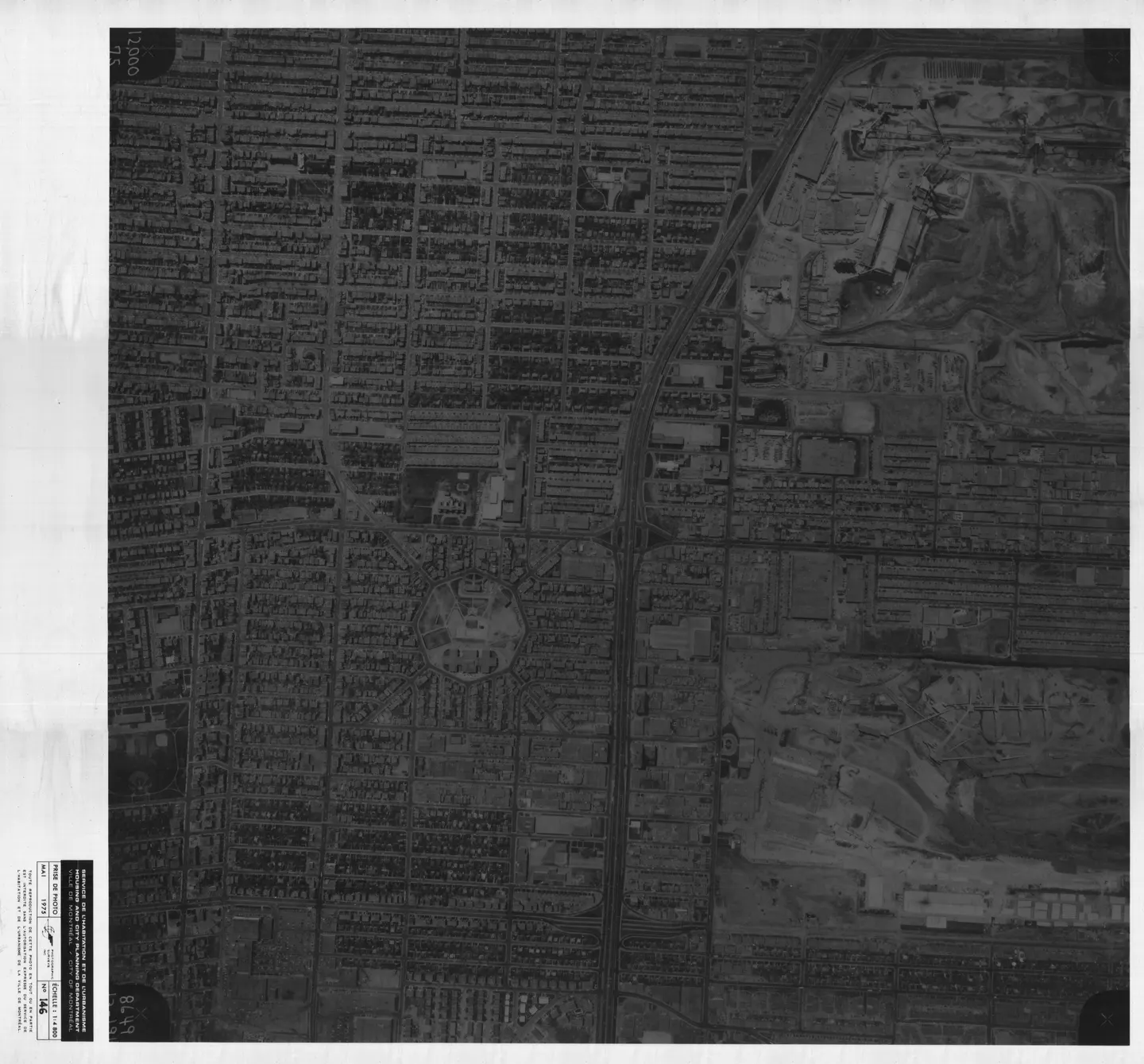
1975 · VM97,S3,D15,P146
Street with cars, Saint-Michel, aerial view, 1975
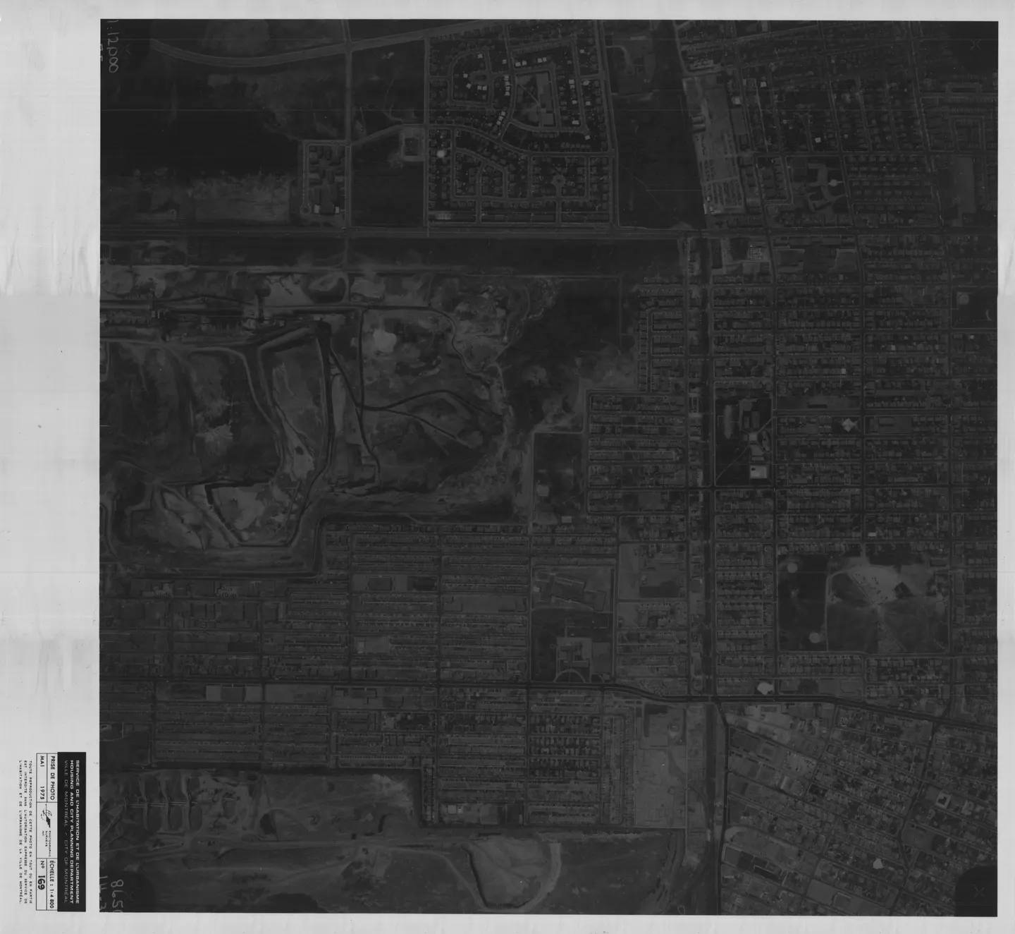
1975 · VM97,S3,D15,P169
Busy urban street, Saint-Michel, aerial view, 1975
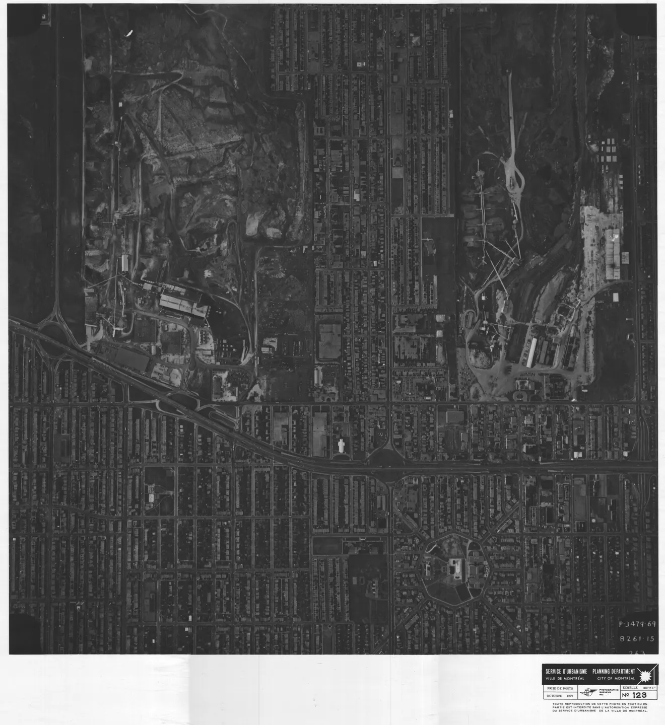
1969 · VM97,S3,D09,P123
Street lined with buildings, Saint-Michel, aerial view, 1969
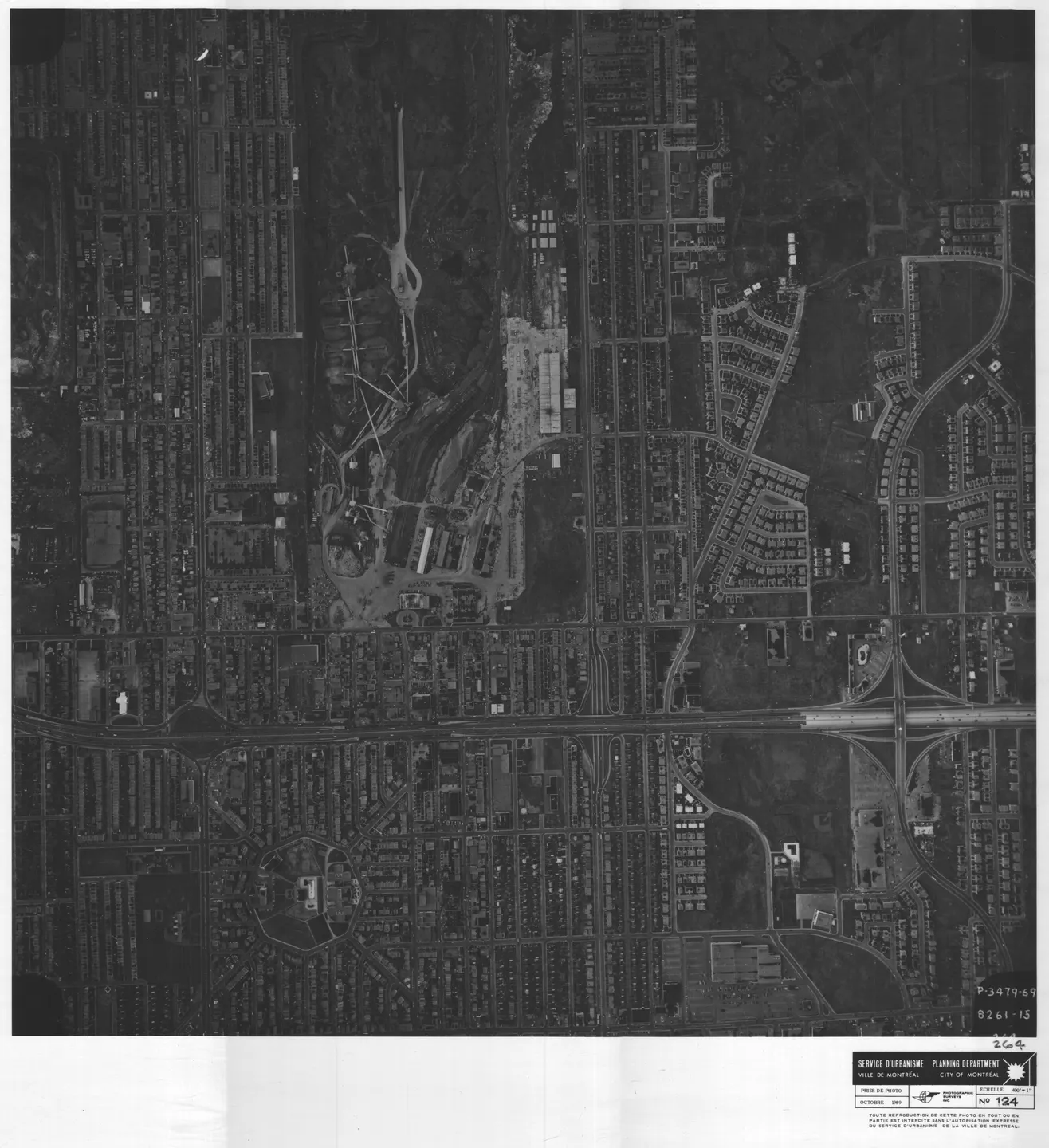
1969 · VM97,S3,D09,P124
Street lined with buildings, Saint-Michel, aerial view, 1969
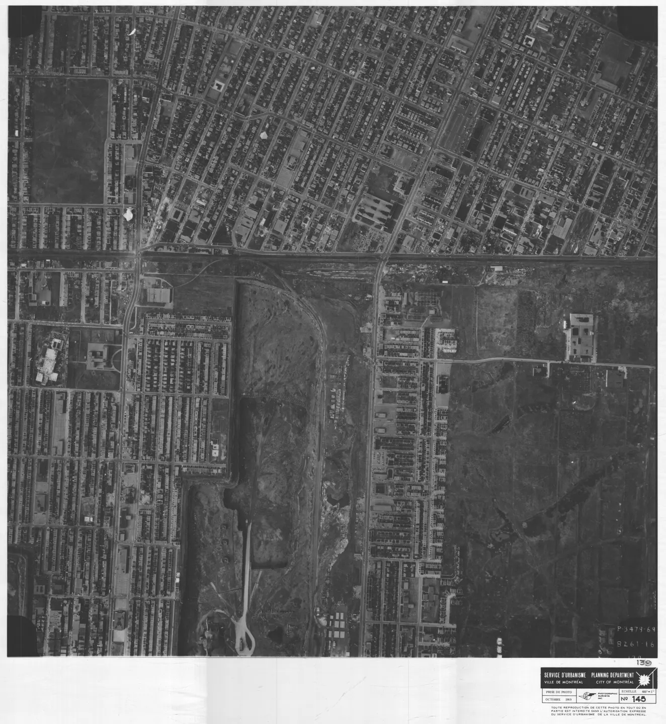
1969 · VM97,S3,D09,P145
Busy street with buildings, Saint-Michel, aerial view, 1969
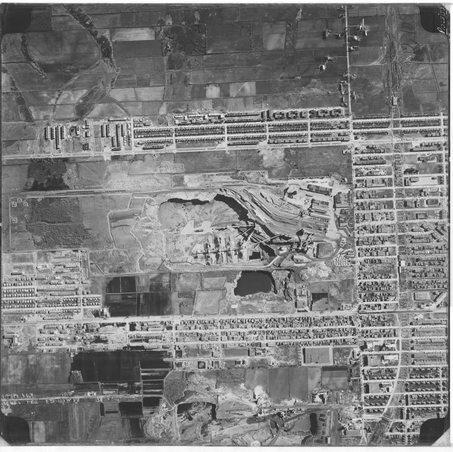
1958 · VM97,S3,D02,P12-105
Street lined with buildings and a, Saint-Michel, aerial view, 1958
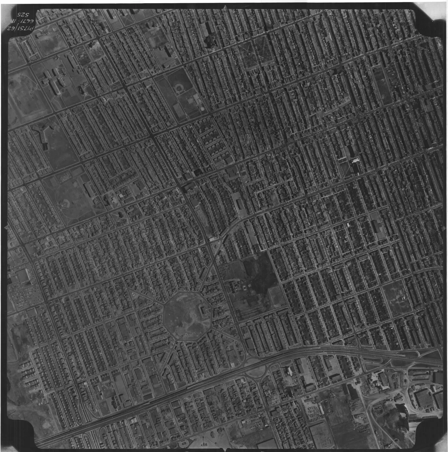
1962 · VM97,S3,D04,P525
Saint-Michel street, aerial view, 1962
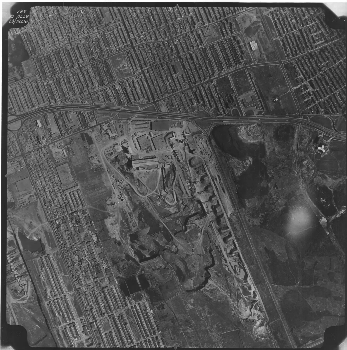
1962 · VM97,S3,D04,P587
Street lined with cars, Saint-Michel, aerial view, 1962
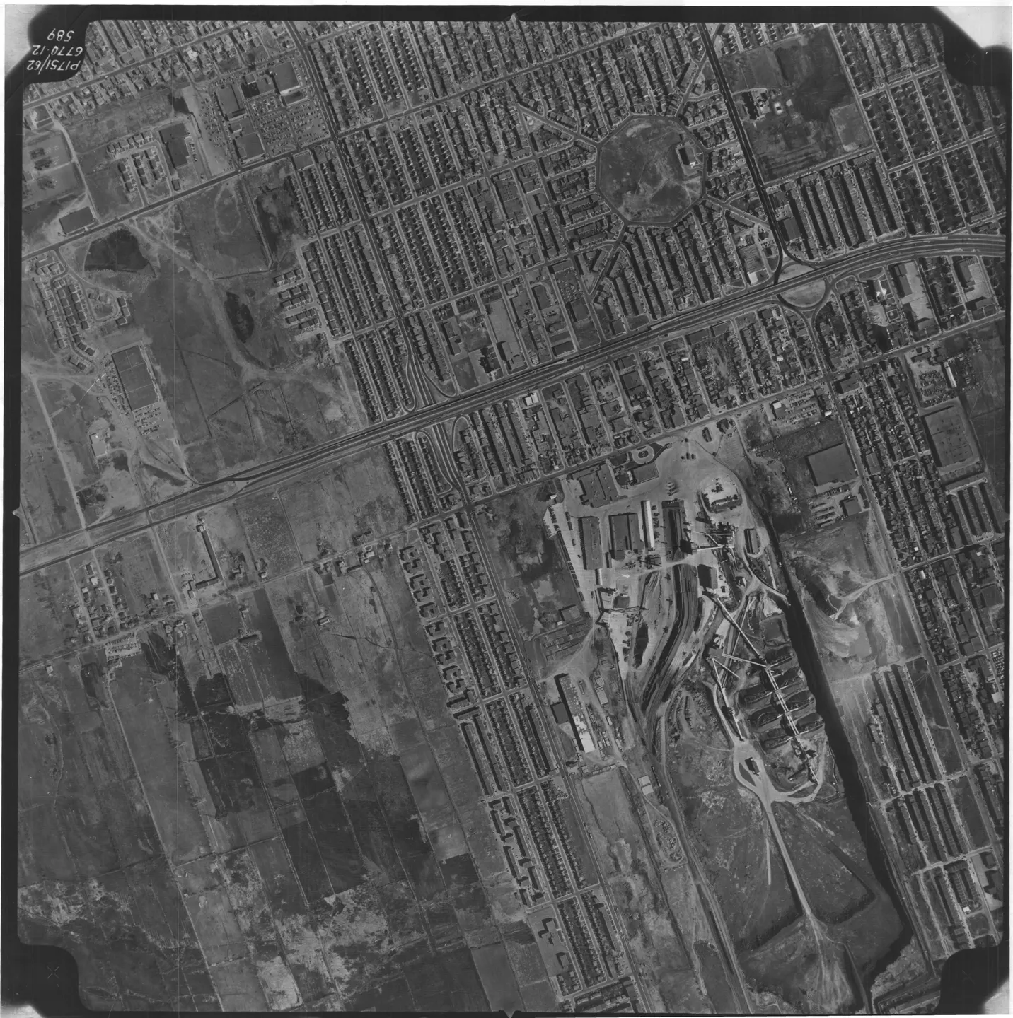
1962 · VM97,S3,D04,P589
Street lined with cars, Saint-Michel, aerial view, 1962
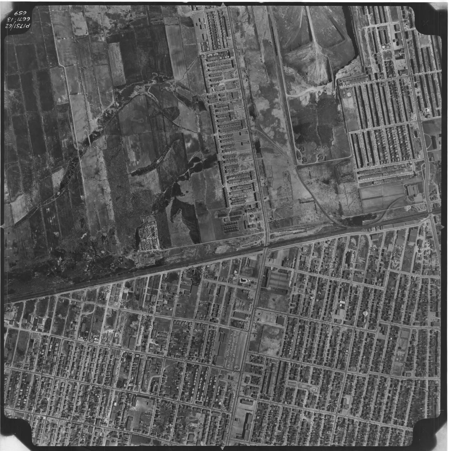
1962 · VM97,S3,D04,P659
Street with buildings and cars, Saint-Michel, aerial view, 1962
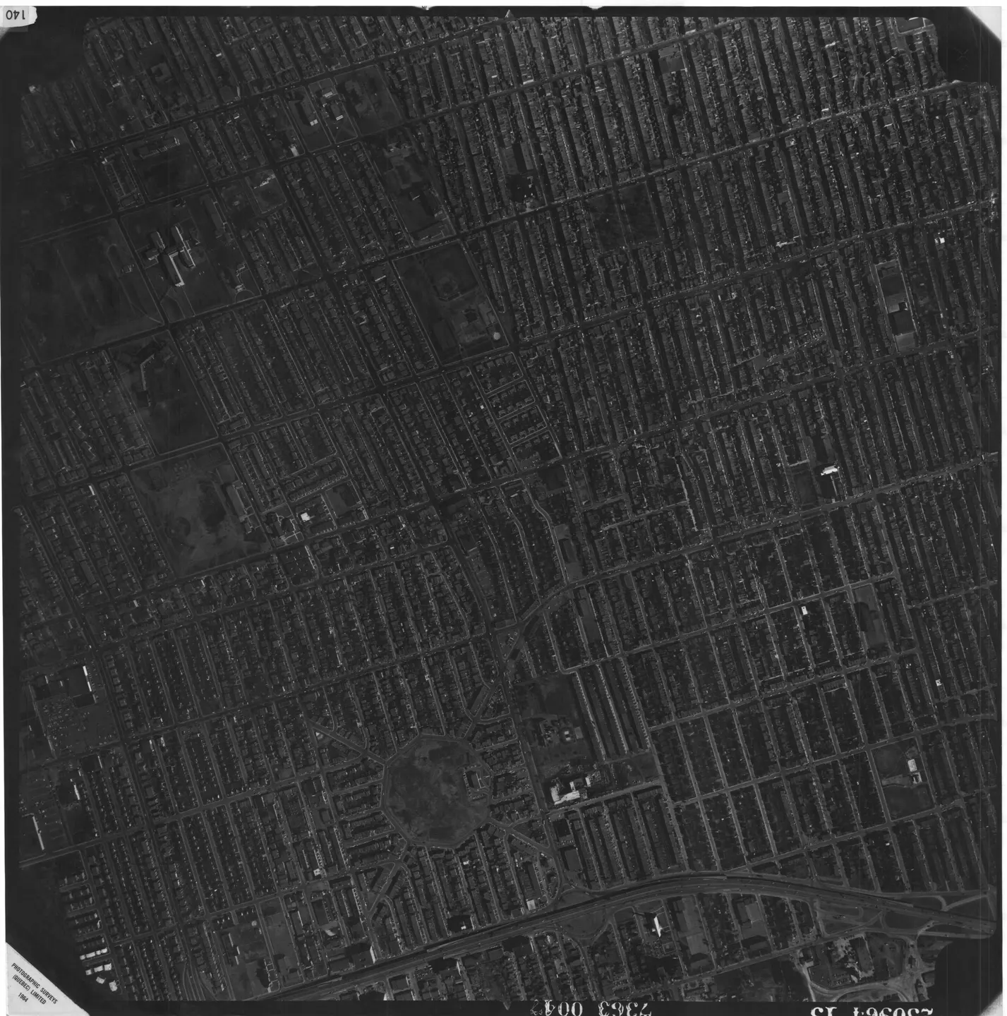
1964 · VM97,S3,D05,P140
Street with nearby park, Saint-Michel, aerial view, 1964
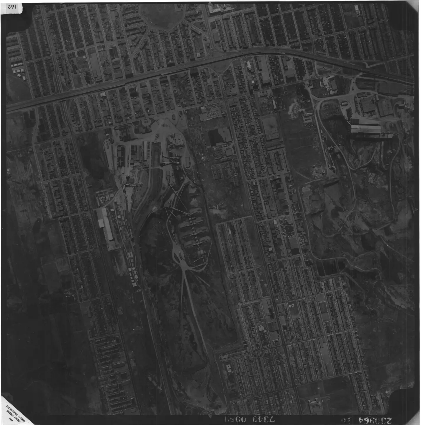
1964 · VM97,S3,D05,P162
Street with park and cars, Saint-Michel, aerial view, 1964
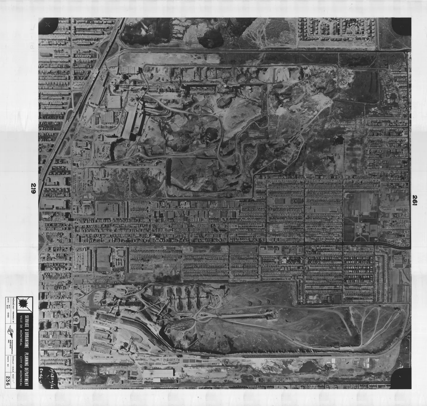
1966 · VM97,S3,D08,P236
Street in Montreal, Saint-Michel, aerial view, 1966
SUNDAY MORNINGS
Follow Saint-Michel
An email on Sunday when the neighbourhood has something new.An email on Sunday when a photograph or story about the neighbourhood arrives. Nothing else.